Log in
All resources
Create a design
74 Free Images of Old Maps Of South Holland
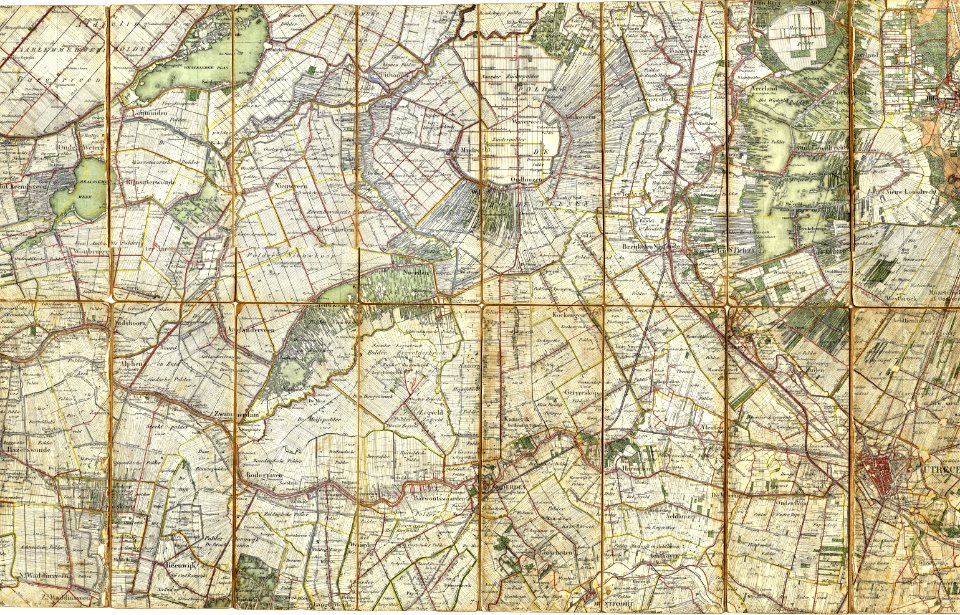
gemeente atlas van nederland - south holland
1860s maps of south holland
old maps of delfland
nicolaas samuel crucquius
maps of polders in south holland
details of old maps of the netherlands
maps in the rijksmuseum amsterdam
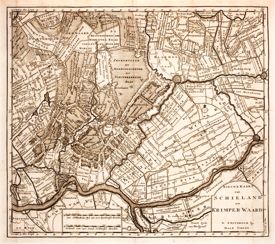
isaak tirion
details of old maps, defaced
old maps of haarlem
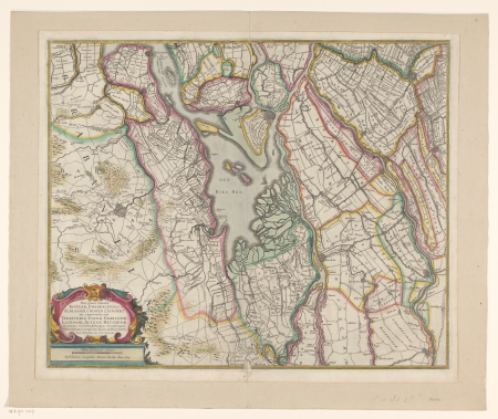
old maps of south holland
old maps of utrecht
old maps of north holland
old maps of utrecht
old maps of the hague
siege of leiden
amelisweerd
zuiderzee
old maps of north brabant
old maps of south holland
maps with cartouches
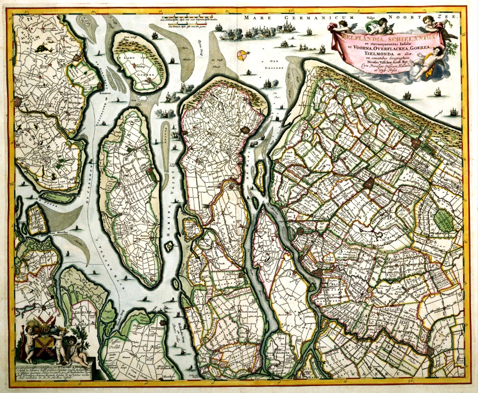
old maps of zeeland
prints from isaak tirion hedendaegsche historie at the peace palace library
old maps of south holland
old maps of south holland
merwede
1760s maps of the netherlands
old maps of south holland
gemeente atlas van nederland - south holland
old maps of katwijk, south holland
nicolaas samuel crucquius
old maps of delfland
maps of nieuwkoop
aarlanderveen
gemeente atlas van nederland - south holland
1860s maps of south holland
gemeente atlas van nederland - south holland
maps of wateringen
gemeente atlas van nederland - south holland
1860s maps of south holland
gemeente atlas van nederland - south holland
old maps of dordrecht
gemeente atlas van nederland - south holland
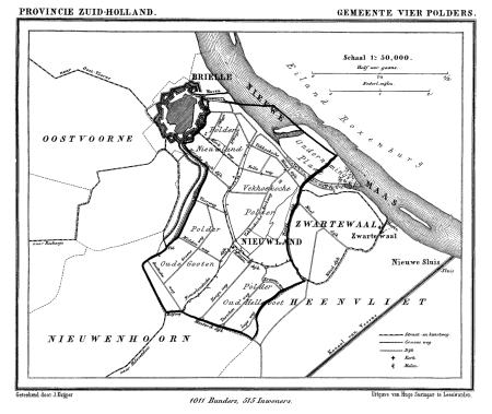
old maps of brielle
gemeente atlas van nederland - south holland
1860s maps of south holland
gemeente atlas van nederland - south holland
maps of 's-gravenzande
gemeente atlas van nederland - south holland
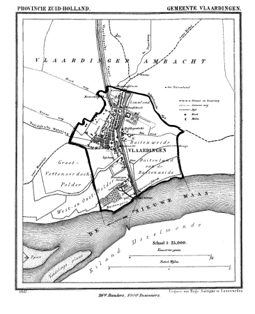
old maps of vlaardingen
nicolaas samuel crucquius
old maps of delfland
maps of polders in south holland
old maps of vlaardingen
gemeente atlas van nederland - south holland
1860s maps of south holland
gemeente atlas van nederland - south holland
old maps of gorinchem
gemeente atlas van nederland - south holland
old maps of delft
gemeente atlas van nederland - south holland
old maps of eiland van dordrecht
gemeente atlas van nederland - south holland
maps of south holland
gemeente atlas van nederland - south holland
old maps of the hague
gemeente atlas van nederland - south holland
old maps of brielle
gemeente atlas van nederland - south holland
old maps of gouda
gemeente atlas van nederland - south holland
old maps of gouda
gemeente atlas van nederland - south holland
old maps of leiden
maps of polders in south holland
old maps of the hague
midden-delfland in the 18th century
maps of midden-delfland
maps of polders in south holland
old maps of westland
maps of polders in south holland
old maps of delfland
maps of polders in south holland
old maps of delfland
gemeente atlas van nederland - south holland
polytechnische school te delft
nicolaas samuel crucquius
old maps of delfland
old maps of south holland
atlas novus (blaeu)
maps by willem and johannes blaeu
old maps of gouda
nicolaas samuel crucquius
old maps of delfland
17th-century maps of zeeland
old maps of south holland
gemeente atlas van nederland - south holland
maps of alblasserdam
locator maps of the harbour of rotterdam
maps of scheepvaartkwartier
maps of waterways in the netherlands
maps of nieuwe merwede
atlas der neederlanden deel ii: holland 1. zuid-holland
maps from university of amsterdam special collections
gemeente atlas van nederland - south holland
old maps of gouda
locator maps of the harbour of rotterdam
glashaven (canal in rotterdam)
old maps of katwijk, south holland
brittenburg
locator maps of the harbour of rotterdam
zalmhaven (rotterdam)
old maps of leiden
baroque
maps by johannes vingboons
old maps of south holland
maps of polders in south holland
18th-century maps of rotterdam
old maps of south holland
atlas maior
old maps of south holland
piet schipperus
maps in the rijksmuseum amsterdam
maps by isaak tirion
old maps of leiden
views of leiden
prints by isaac weissenbruch in the rijksmuseum amsterdam
old maps of katwijk, south holland
dutch baroque architecture
nieuwe kerk, haarlem
old maps of the strait of gibraltar
hendrik de leth
old maps of haarlem
haarlemmerhout
drawings by pieter jansz. saenredam in the beeldcollectie van de gemeente haarlem
siege of haarlem
dutch baroque architecture
nieuwe kerksplein, haarlem
maps by john cary
1801 maps
prints of cartouches in the rijksmuseum amsterdam
maps in the rijksmuseum amsterdam
prints of cartouches in the rijksmuseum amsterdam
maps in the rijksmuseum amsterdam
maps in the rijksmuseum amsterdam
david coster
maps in the rijksmuseum amsterdam
old maps of south holland
maps in the rijksmuseum amsterdam
david coster
old maps of kennemerland
hendrik de leth
maps of the captaincy general of cuba
maps of the history of florida
maps in the rijksmuseum amsterdam
old maps of south holland
old maps of the viceroyalty of new spain
the spanish borderlands
1 - 74 of 74
/ 1


![Map of the Ring of Putten, Gilliam van der Gouwen, [1701]](https://cdn.creazilla.com/illustrations/10001174499/map-of-the-ring-of-putten-gilliam-van-der-gouwen-1701-md.jpg)