Log in
All resources
Create a design
38 Free Images of Old Maps Of Cologne
rheinisches bildarchiv
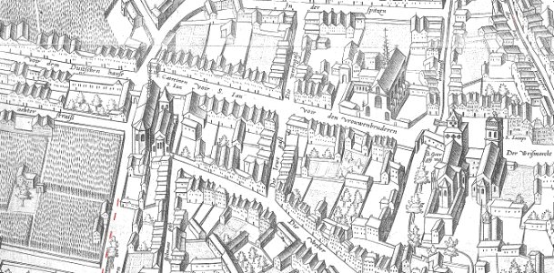
parts of old maps of cologne
abraham hogenberg
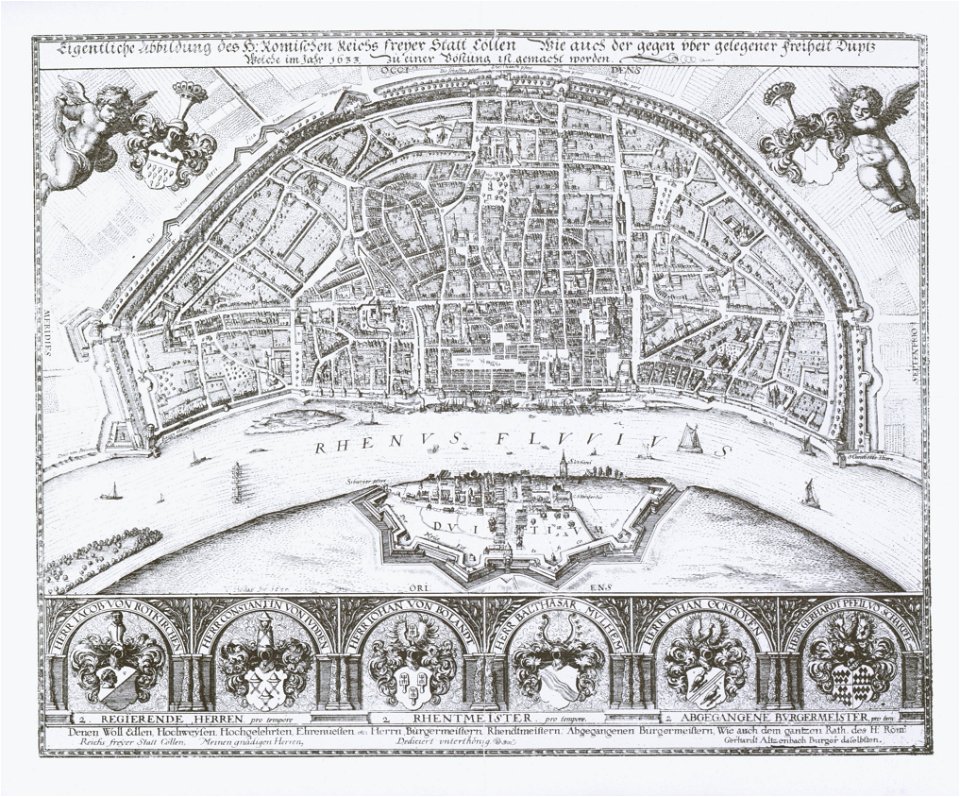
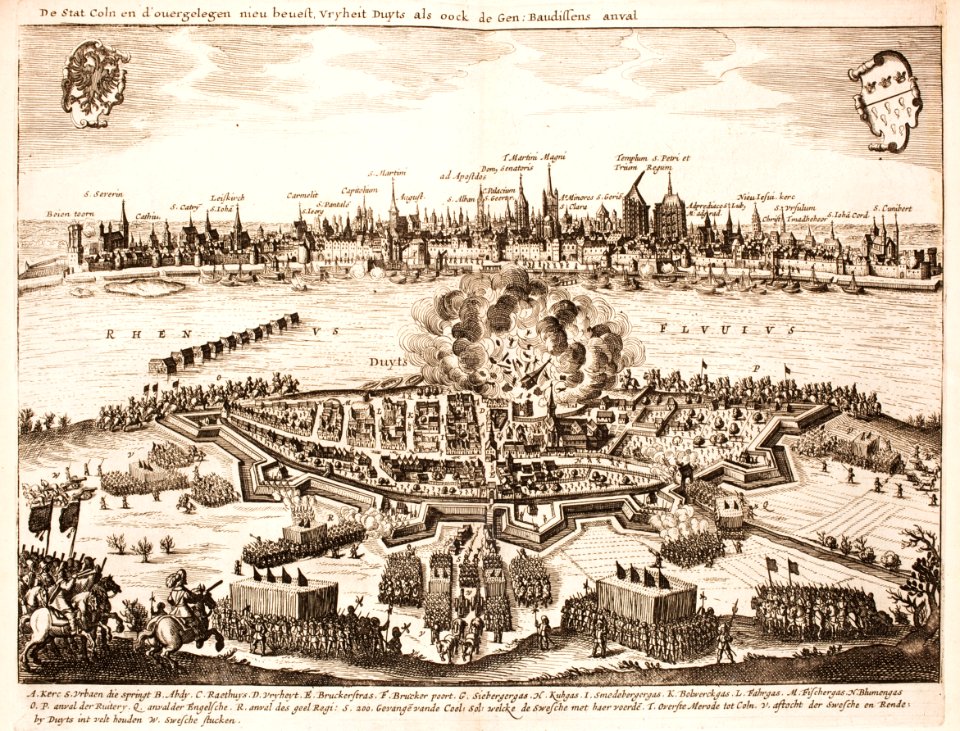
cologne in the 1600s
1609 works in north rhine-westphalia
history
historical
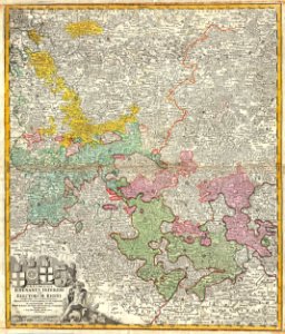
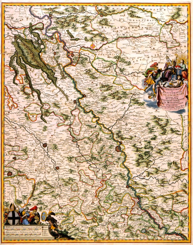
maps of the electorate of cologne
pages with maps
cc-zero
pages with maps
vehicle
1633 in north rhine-westphalia
old maps of cologne
battles of the thirty years' war
cologne
parts of old maps of cologne
maps by matthäus seutter
maps by homannsche erben
latin-language maps
maps made in the 18th century
gerard valck
globe
maps
maps with cartouches
copper engraving
skyline
city
vehicle
car
maps by christian sgrothen
maps of erkelenz
1640s maps of north rhine-westphalia
history of cologne
maps of exeter by braun & hogenberg
hooker (alias vowell) arms
merian mainz trier köln
baroque
topographia westphaliae (merian)
baroque
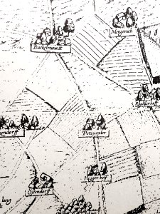
köln-weidenpesch
köln-nippes
parts of old maps of cologne
cologne in the 1600s
topographia westphaliae (merian)
baroque
old maps of krefeld
1645 in krefeld
flughafen köln-butzweilerhof
köln-bocklemünd/mengenich
1640s maps of the netherlands
coats of arms on maps
1609 works in north rhine-westphalia
abraham hogenberg
maps by alexis-hubert jaillot
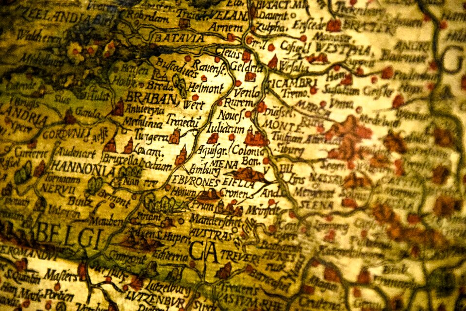
old maps of duchy of cleves
old maps of cologne
nicolaus person
maps of the electorate of cologne
maps made in the 18th century
maps in the staats- und universitätsbibliothek hamburg
maps of hamburg-altstadt
maps by alexis-hubert jaillot
old maps of duchy of cleves
maps of exeter by braun & hogenberg
floyer hayes, exeter
maps of exeter by braun & hogenberg
floyer hayes, exeter
atlas maior, vol 3 (germany) - joan blaeu, 1667 - bl 114.h(star).3
johannes gigas
historical
history
historical
history
historical
history
historical
history
historical
history
historical
history
prints by frans hogenberg in the rijksmuseum amsterdam
maps in the rijksmuseum amsterdam
aus hannovers vorzeit. ein beitrag zur deutschen cultur-geschichte ... mit 23 photolithographischen abbildungen, etc., von august jugler
old maps of hannover
1 - 38 of 38
/ 1


![Hambvrgvm / [Georg Braun. Franz Hogenberg], Frans Hogenberg, circa 1590](https://cdn.creazilla.com/illustrations/10001252450/hambvrgvm-georg-braun-franz-hogenberg-frans-hogenberg-circa-1590-sm.jpg)