Log in
All resources
Create a design
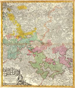
1730 Homann Map of the Lower Rhine ( Frankfort, Cologne, Coln, Heidelberg, etc. ) - Geographicus - RhenanusInferior-homann-1730
Download
Edit image
Published by:
Creazilla
Author:
Johann Homann (1664–1724)
Source:
commons.wikimedia.org
Loading...
0 downloads
Print it
Copy image
Loading...
latin-language maps
maps by homannsche erben
old maps of the rhineland
county of sponheim
1730 maps
electoral rhenish circle
1730s maps of rhineland-palatinate
MORE LIKE THIS