Log in
All resources
Create a design
12 Free Images of Maps Of The Electorate Of Cologne
bibliothèque nationale de france
old maps of the duchy of jülich
1640s maps of north rhine-westphalia
atlas novus (blaeu)
electoral rhenish circle
gerard valck
maps made in the 18th century
atlantis magni tomus tertius (biblioteca comunale di trento)
maps of the duchy of berg
coats of arms on maps
maps by homannsche erben
latin-language maps
maps made in the 18th century
gerard valck
1640s maps of north rhine-westphalia
history of cologne
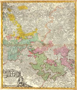
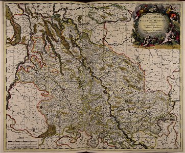
maps of the electorate of cologne
coats of arms on maps
maps by christian sgrothen
maps of erkelenz
map of the circle of the rhineland by sanson
1670s maps of rhineland-palatinate
old maps of krefeld
1645 in krefeld
maps by alexis-hubert jaillot
old maps of duchy of cleves
maps of the electorate of cologne
maps made in the 18th century
les duchés de cleves, juliers, limbourg (etc.) by jaillot
bibliothèque nationale de france
les duchés de cleves, juliers, limbourg (etc.) by jaillot
bibliothèque nationale de france
maps by john cary
1799 maps
1 - 12 of 12
/ 1