Log in
All resources
Create a design
204 Free Images of Maps Of Straits
pages with maps
cc-zero
water
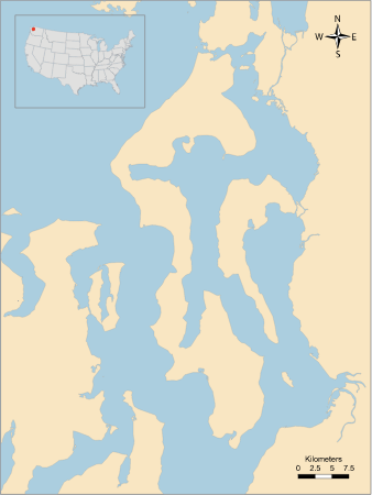
strait of anian
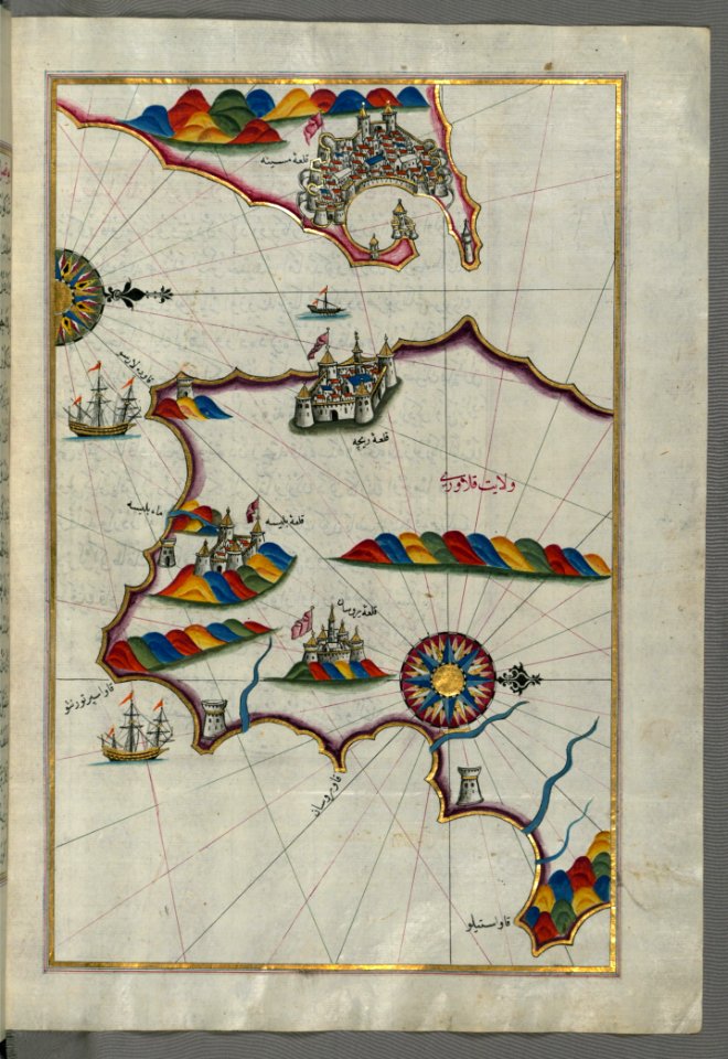
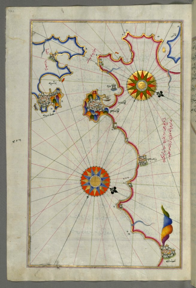
straits of johor
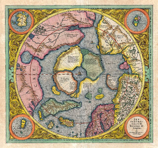
third voyage of willem barentsz
16th-century maps of the arctic
history of dutch sea fisheries
old maps of spitsbergen
old maps of scandinavia
third voyage of willem barentsz
16th-century maps of the arctic
third voyage of willem barentsz
history of dutch sea fisheries
third voyage of willem barentsz
history of dutch sea fisheries
third voyage of willem barentsz
16th-century maps of the arctic
third voyage of willem barentsz
16th-century maps of the arctic
the voyage of the vega round asia and europe
third voyage of willem barentsz
overwintering on nova zembla by willem barentsz, 1596-1597
maps in the rijksmuseum amsterdam
overwintering on nova zembla by willem barentsz, 1596-1597
maps in the rijksmuseum amsterdam
straight
maps
science
maps
ships on maps
1628 maps
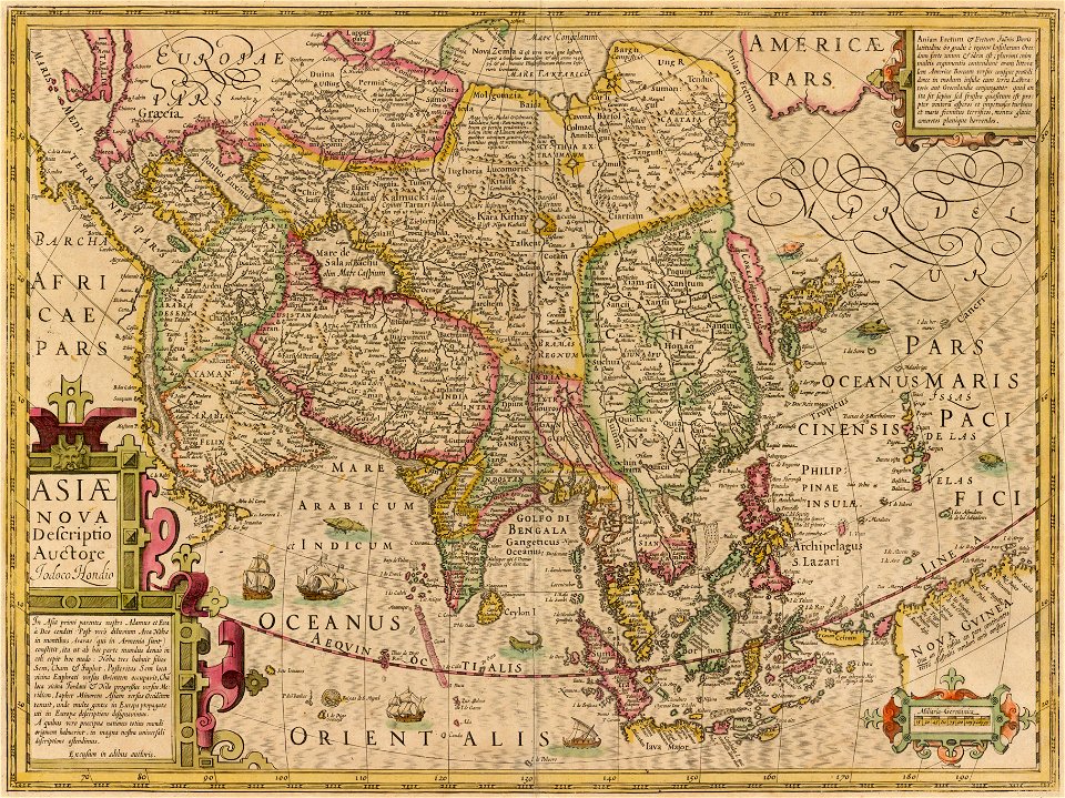
maps by jodocus hondius
1606 maps
charts and maps of the royal museums greenwich
1682 maps
maps of the west-indische compagnie
1705
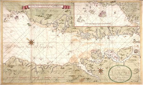
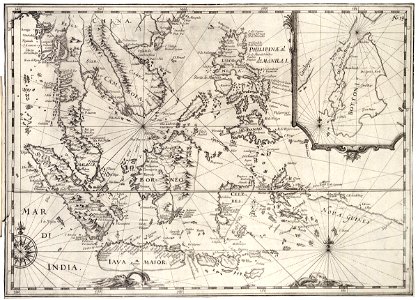
maps of the dutch east india company - indonesia
1744
maps of the dutch east india company - indonesia
maps by jodocus hondius
1628 maps
description de l'universe
northern europe
maps by willem and johannes blaeu
1635 maps
17th-century maps of indonesia
1621
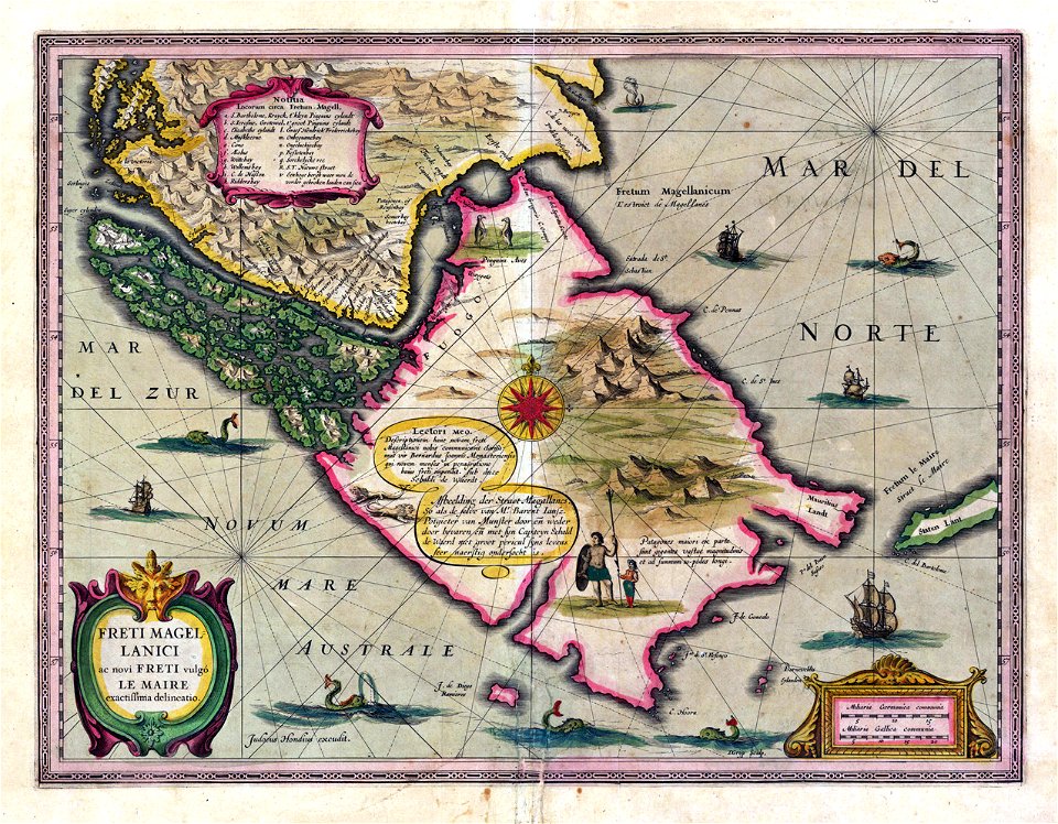
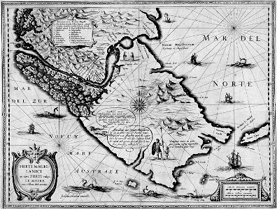
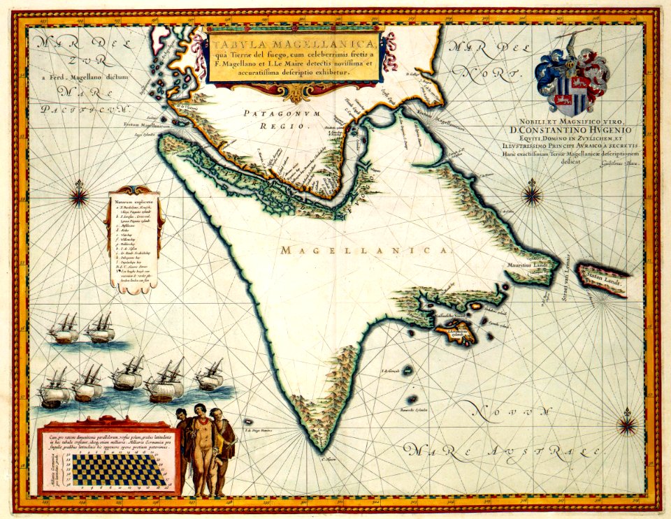
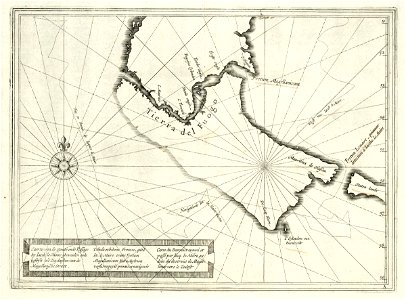
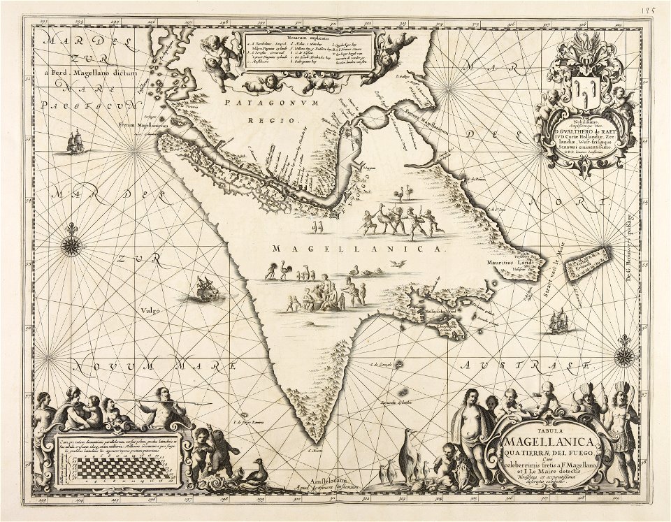
old maps of the strait of magellan
voyage au pôle sud
old maps of the strait of magellan
voyage au pôle sud
jacob le maire
1622
geographical illustrations by coronelli
self-published work
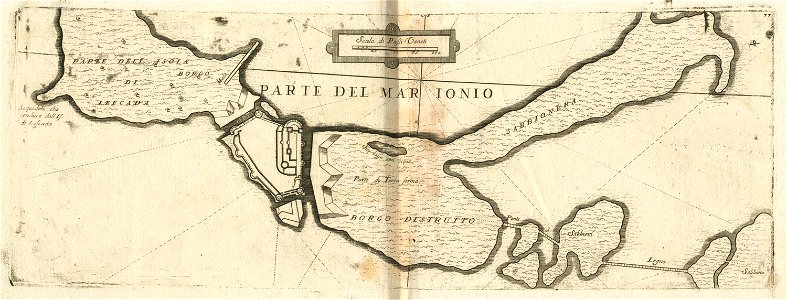
straits of johor
self-published work
straits of johor
geographical illustrations by coronelli
antirrio
straits of johor
water
map images supported by wikimedia uk
1856 maps
maps made in the 17th century
jan janssonius
map images supported by wikimedia uk
1856 maps
17th-century maps of china
cathay
self-published work
pages with maps
book
art
book
art
water
boat
summer
water
book
art
19th-century maps of tibet
1850s maps of china
19th-century maps of the malay archipelago
19th-century maps of southeast asia
book
art
hudson bay
1693
self-published work
pages with maps
water
grass
water
boat
water
blue
boat
sea
skyline
water
water
sea
water
boat
water
boat
self-published work
rock
gazebo
kerch
self-published work
water
self-published work
pages with maps
self-published work
pages with maps
aircraft
aviation
water
sea
self-published work
pages with maps
skyline
city
winter
snow
landscape
blue
1704 in gibraltar
louis boudan
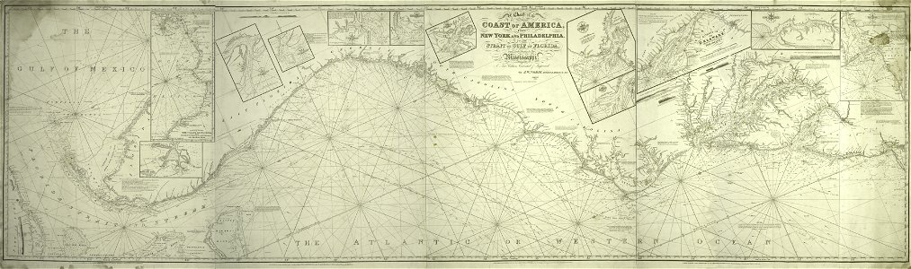
old maps of the united states
sanson maps of north america
1560s maps of north america
paolo forlani
borgne
chef
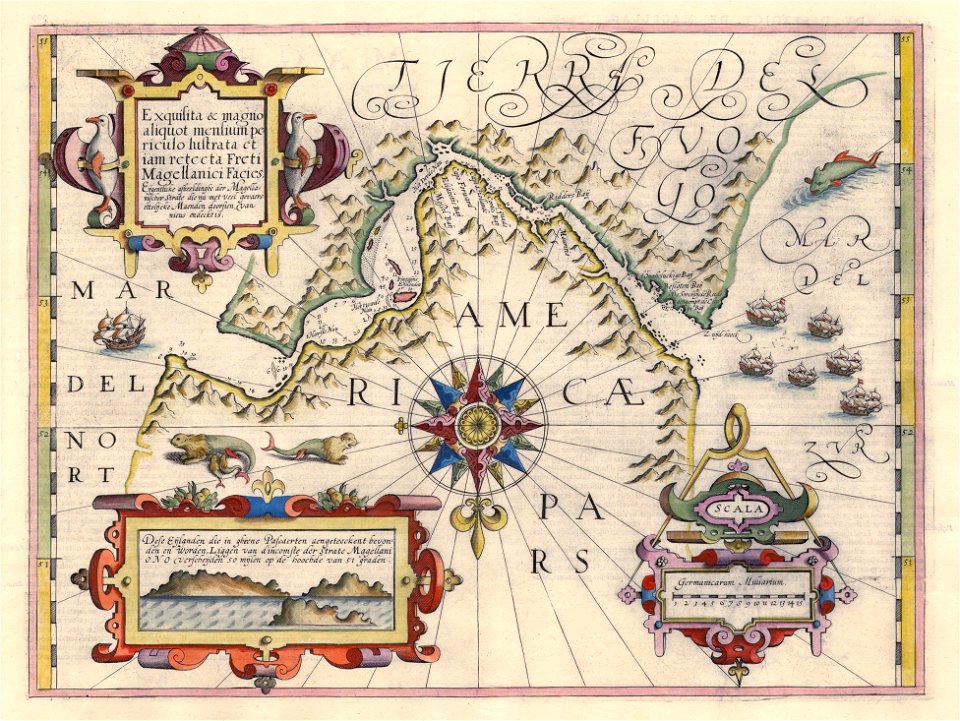
17th-century maps of the strait of magellan
1635 maps
18th-century maps of the sea of marmara
18th-century maps of the dardanelles
admiralty
basin
borgne
chef
18th-century maps of the sea of marmara
18th-century maps of the dardanelles
1680s maps of north america
hugo allardt
old maps of the strait of gibraltar
1762 maps of spain
discovery bay
ecosystems
old maps of the russian empire
1790s maps of alaska
18th-century maps of the aegean sea
1780s maps of greece
atlantic ocean
bellamy
maps of strait of messina
jean-pierre houël
bellingham
ecosystems
maps by jodocus hondius
1628 maps
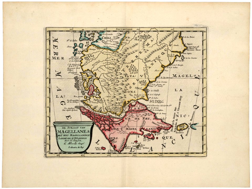
18th-century maps of the strait of magellan
1700s maps of argentina
propaganda map
1529 maps
deception
basin
17th-century maps of the strait of magellan
maps by nicolas sanson
media from atlas of mutual heritage on dutch east india company
portolan charts by willem and johannes blaeu
maps of the west-indische compagnie
1705
17th-century maps of the strait of magellan
maps by willem and johannes blaeu
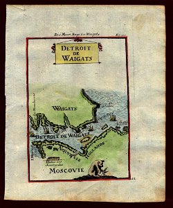
old maps of the bering strait
18th-century maps of siberia
maps of the magellan straits by lambert cornelis
bibliothèque nationale de france
the bottom of the sea (1870)
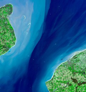
maps of the strait of dover
carte de la mer mediterranée (1764) by roux
eran laor cartographic collection
old maps of siberia
erik palmqvist
maps by pieter mortier
maps from gallica
17th-century maps of the strait of magellan
maps by jodocus hondius
old maps of the strait of gibraltar
hendrik de leth
maps of the magellan straits by lambert cornelis
context files from gallica
voyages and travels to india, ceylon, the red sea, abyssinia, and egypt, vol. 2
henry cooper (engraver)
nieuwe en beknopte hand-atlas (1754)
old maps of the strait of gibraltar
old maps of the strait of gibraltar
hendrik de leth
1860s maps of china
1863 maps of asia
1 - 100 of 204
Next page
/ 3


![Map of Paraguay, Chile, and Strait of Magellan - Guillaume de L'Isle, [1703-1708]](https://cdn.creazilla.com/illustrations/10001534848/map-of-paraguay-chile-and-strait-of-magellan-guillaume-de-lisle-1703-1708-md.jpg)