Log in
All resources
Create a design
33 Free Images of Maps Of Paris In The 1750s
bibliothèque nationale de france
lithographs of paris
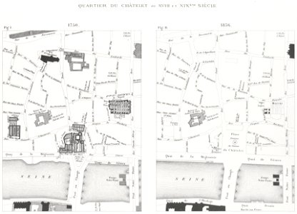
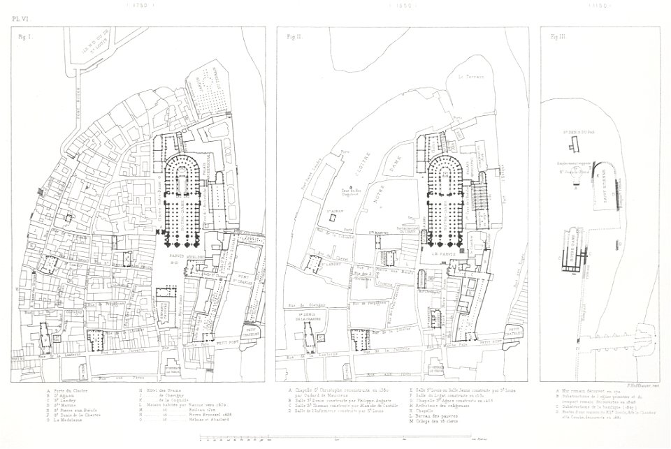
floor plans of paris
paris à travers les âges
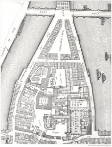
old maps of île de la cité
maps of paris by john rocque
1754 in paris
john rocque
18th-century maps of paris
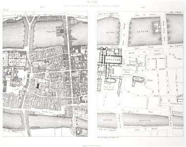
historical images of pont au change
lithographs of paris
grand châtelet
lithographs of paris
grand châtelet
paris in the 16th century
lithographs of paris
david rumsey historical map collection – derivative files
turgot map of paris
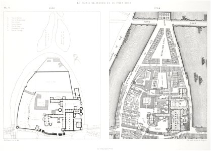
palais de la cité
conciergerie
historical images of pont neuf
lithographs of paris
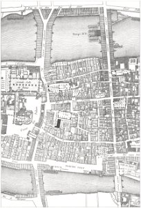
historical images of the pont saint-michel
lithographs of paris
historical images of the pont saint-michel
lithographs of paris
maps of paris from bibliothèque nationale de france
maps of paris by john rocque
maps of paris from the princeton university library
1750s maps of paris
maps of paris from bibliothèque nationale de france
maps of paris by john rocque
old submaps of paris 17e arrondissement
plan de roussel - derivative files
maps of paris from the princeton university library
18th-century maps of paris
maps of paris from the university of wisconsin-milwaukee libraries
18th-century maps of paris
sixth map of paris from traité de la police
maps of paris from paris musées
recueil d'antiquités égyptiennes, étrusques, greques et romaines (1752)
18th-century maps of paris
french-language maps of asia
1750s maps of asia
colonial wars of portugal
maps of goa by linschoten
recueil d'antiquités égyptiennes, étrusques, greques et romaines (1752)
18th-century maps of paris
guillaume-nicolas delahaye
jacques martin
maps of paris by braun & hogenberg
maps in the british museum
recueil d'antiquités égyptiennes, étrusques, greques et romaines (1756)
18th-century maps of paris
considérations géographiques et physiques sur les nouvelles découvertes au nord de la grande mer
1750s maps of the russian empire
juan de la cruz cano y olmedilla
maps by tomas lopez
juan de la cruz cano y olmedilla
maps by tomas lopez
1750s maps of california
1705 maps of california
maps in the library of congress
1763 maps of north america
maps in the library of congress
1752 maps of north america
recueil d'antiquités égyptiennes, étrusques, greques et romaines (1752)
18th-century maps of périgueux
1750s maps of california
philippe buache
1750s maps of california
philippe buache
recueil d'antiquités égyptiennes, étrusques, greques et romaines (1756)
historical images of paris
drawings by louis jean desprez
drawings in musée carnavalet
1 - 33 of 33
/ 1


![Sixth plan of the city / of Paris / And its increases, from the beginning of the Reign of Charles / VII, the year 1422, until the end of the Reign of Henry III, the year 1589 [1705], Antoine Coquart](https://cdn.creazilla.com/illustrations/10000442243/sixth-plan-of-the-city-of-paris-and-its-increases-from-the-beginning-of-the-reign-of-charles-vii-the-year-1422-until-the-end-of-the-reign-of-henry-iii-the-year-1589-1705-antoine-coquart-sm.webp)


![Lutetia vulgari nomine Paris [...], 1630-1750 (circa)](https://cdn.creazilla.com/illustrations/10000472156/lutetia-vulgari-nomine-paris-1630-1750-circa-sm.webp)