Log in
All resources
Create a design
22 Free Images of Old Maps Of Île De La Cité
lithographs of paris
floor plans of paris
historical images of the pont saint-michel
paris à travers les âges
palais de justice de paris in art
historical images of palais de justice de paris
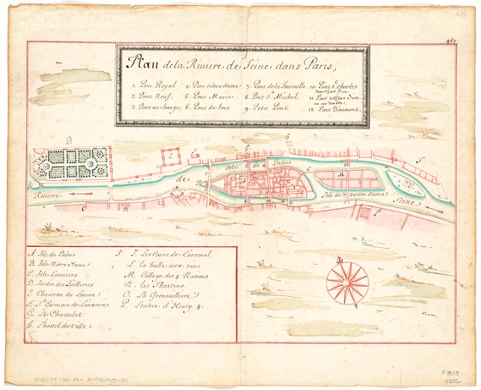
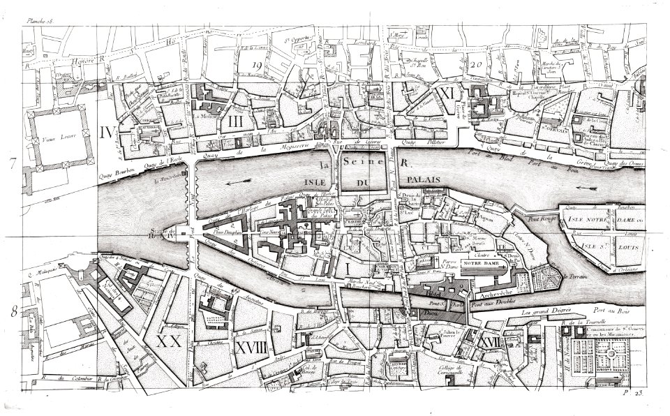
maps of paris in the 1750s
historical images of pont au change
historical images of petit-pont
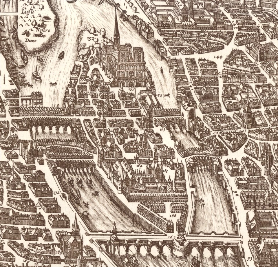
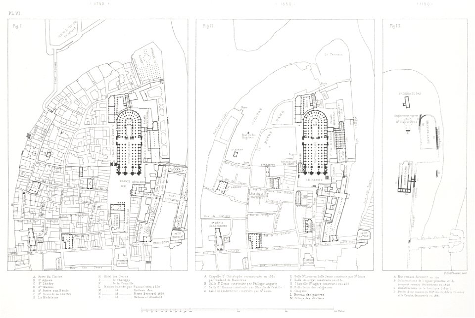
notre-dame de paris on the maps
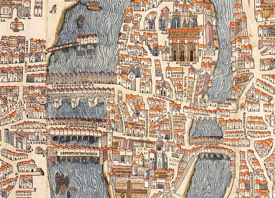
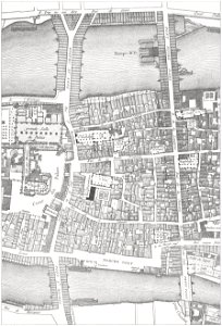
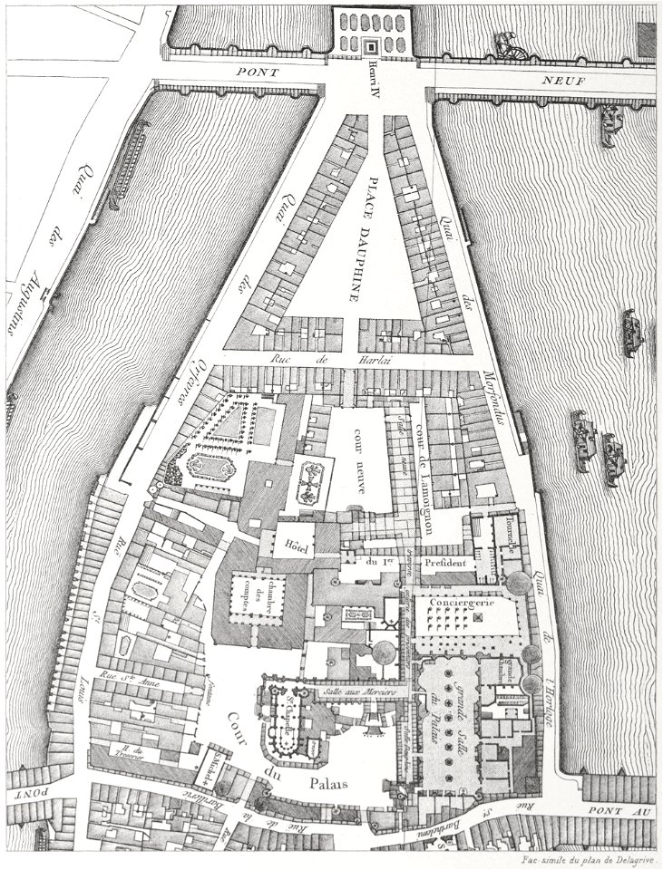
old maps of île de la cité
île de la cité in art
maps of paris from the norman b. leventhal map center
siege of paris, 1870-1871
seine river in paris
1760 maps
old maps of île de la cité
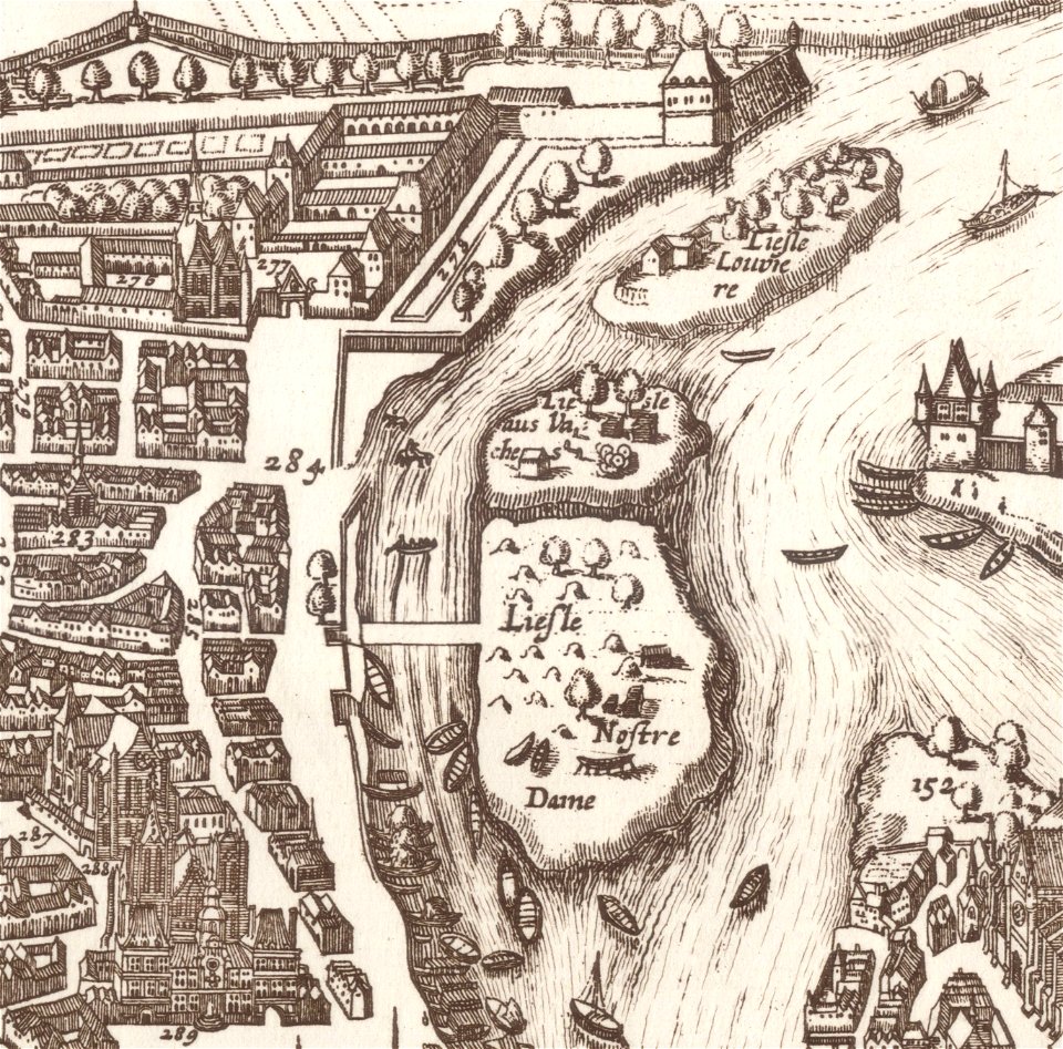
île saint-louis
seine river in paris
1760 maps
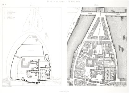
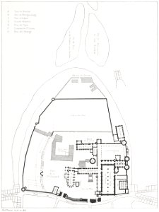
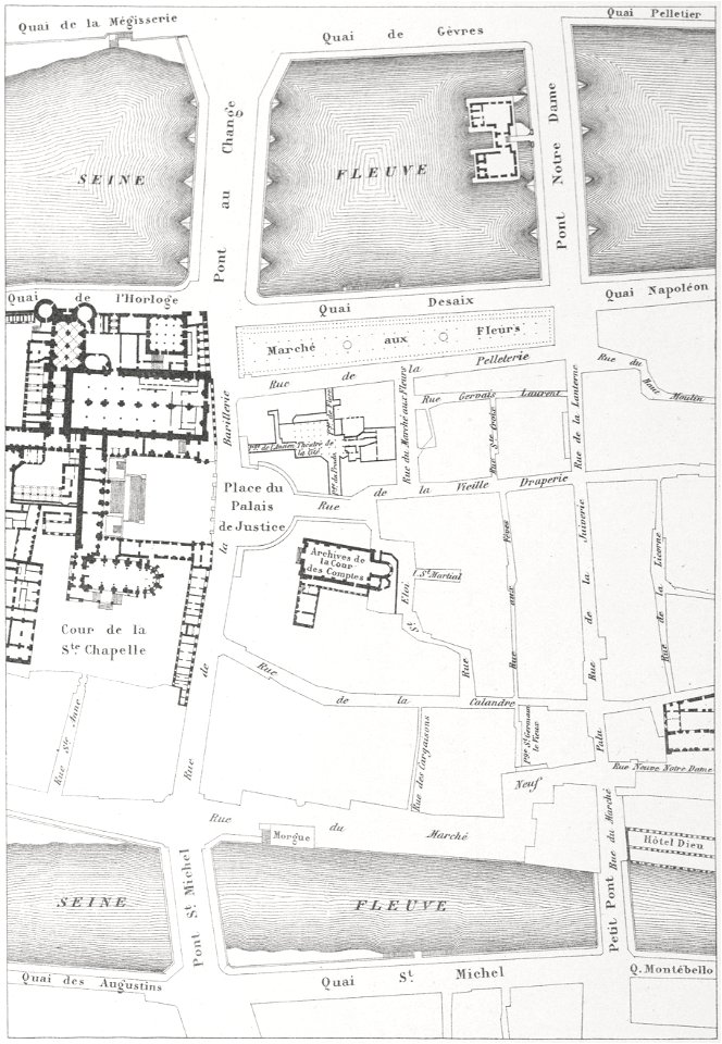
palais de la cité
conciergerie
lithographs of paris
palais de la cité
historical images of the pont saint-michel
rue de la huchette (paris)
historical images of the pont saint-michel
lithographs of paris
historical images of pont neuf
lithographs of paris
historical images of the pont saint-michel
lithographs of paris
historical images of the pont saint-michel
morgue du marché-neuf
historical images of pont neuf
lithographs of paris
paris in the 16th century
lithographs of paris
historical images of the pont saint-michel
maps in skokloster castle
old maps of île saint-louis
jean-baptiste scotin
paris à travers les âges
lithographs of paris
maps of paris in the 1630s
baroque
old maps of île de la cité
old submaps of paris
old maps of île de la cité
jean-baptiste scotin
old maps of île saint-louis
maps of paris in the 1740s
série 09. paris. hôpitaux et hospices
drawings in musée carnavalet
1 - 22 of 22
/ 1