Log in
All resources
Create a design
337 Free Images of 1865 In The Netherlands
gemeente atlas van nederland - south holland
1860s maps of south holland
cc-zero
1865 in maastricht
1865 works in the netherlands
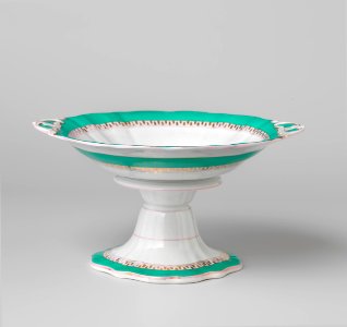
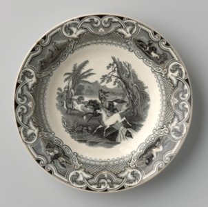
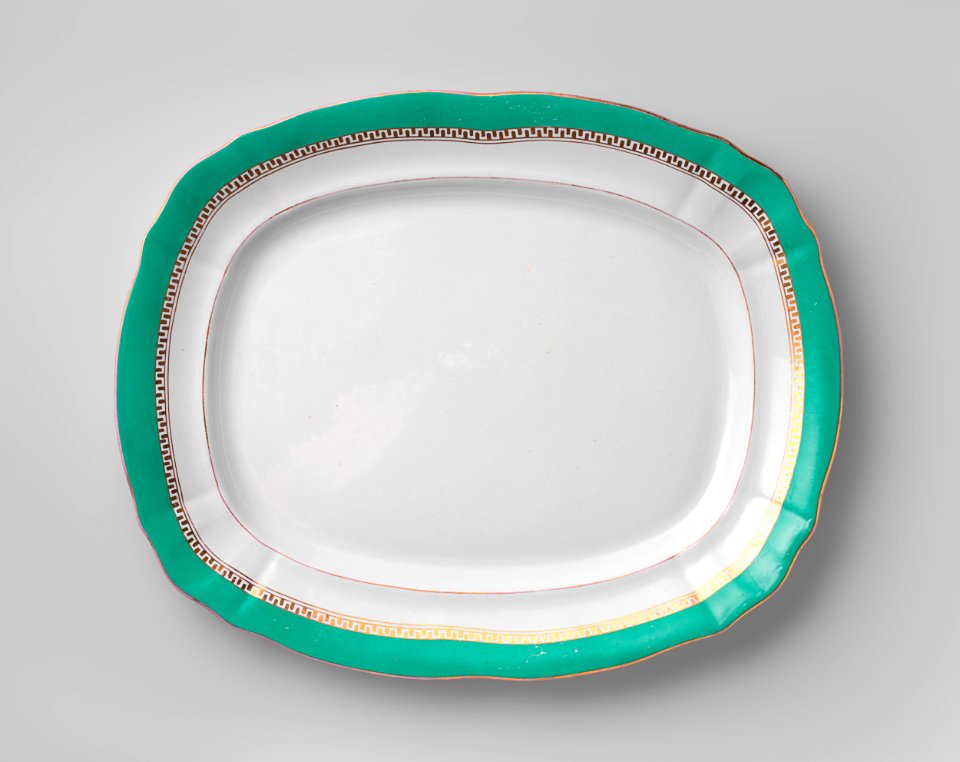
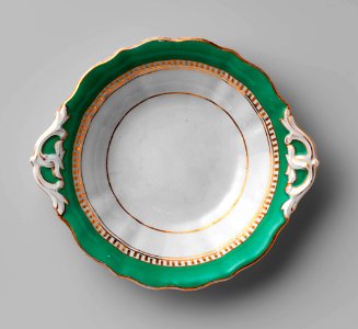
maastricht pottery in the rijksmuseum amsterdam
petrus regout pottery
gemeente atlas van nederland - north holland
1860s maps of north holland
gemeente atlas van nederland - north brabant
william ii of the netherlands in art
jean-baptiste van der hulst
1865 works in the netherlands
1865 in maastricht
1865 works in the netherlands
1865 in maastricht
1865 works in the netherlands
1865 in maastricht
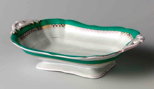
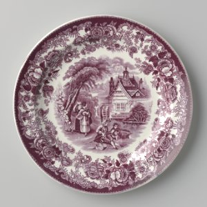
plate
food
1865 in maastricht
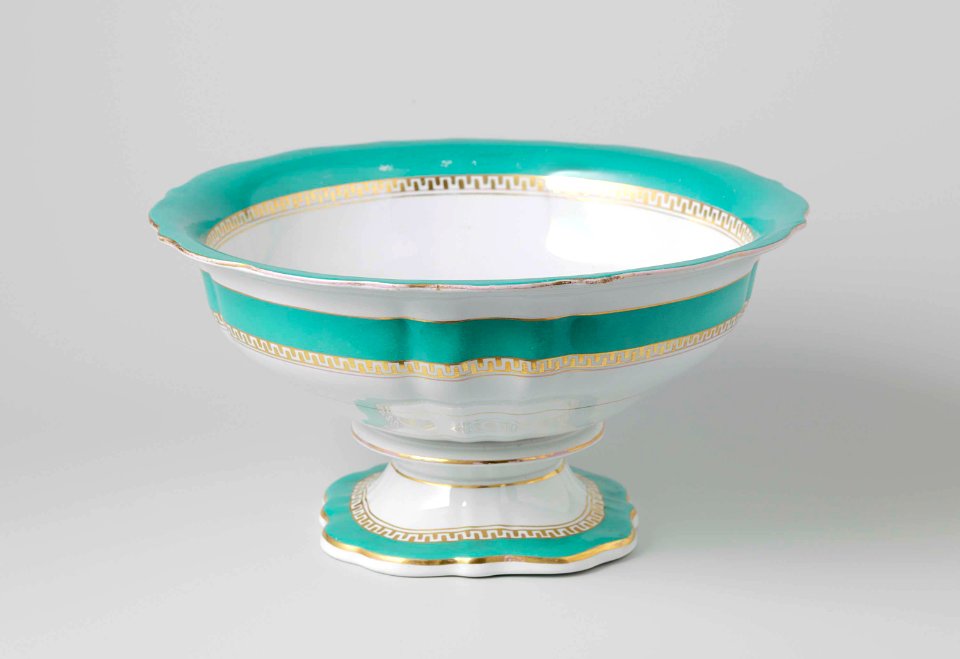
soup bowl
1865 works in the netherlands
1865 in maastricht
1865 works in the netherlands
1865 in maastricht
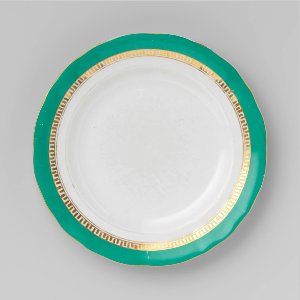
plate
food
plate
food
1865 in maastricht
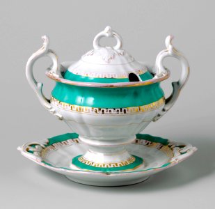
serving spoon
plate
food
plate
food
paintings in the cultural heritage agency of the netherlands art collection
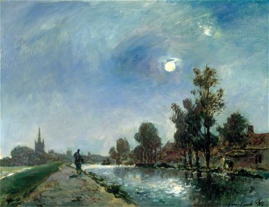
overschie in art
rivers in art
jesuits from the netherlands
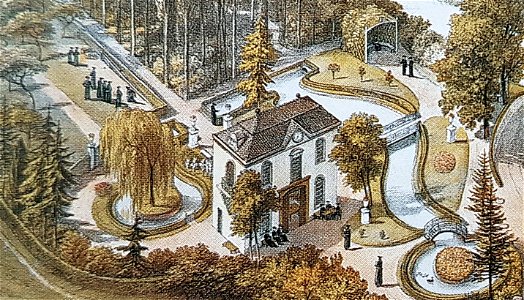
villa canne (maastricht)
collection drawings and prints from het utrechts archief
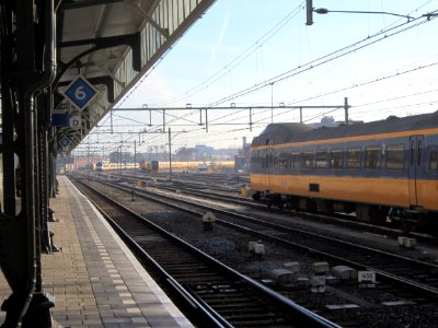
post of the netherlands
demolished buildings in maastricht
former hotels in the netherlands
2011 in hengelo, overijssel
self-published work
founders from the netherlands
jan adam kruseman
black and white group photographs of men
1865 in the netherlands
nobility
people
portrait paintings of anna pavlovna of russia
paintings by nicolaas pieneman
gemeente atlas van nederland - utrecht
old maps of amersfoort
gemeente atlas van nederland - groningen
maps of winschoten
portrait paintings by lawrence alma-tadema
1873 paintings from the united kingdom
java in the 1870s
romanticism
gemeente atlas van nederland - south holland
maps of peursum
old maps of 's-hertogenbosch
empel en meerwijk
portrait paintings of anna pavlovna of russia
jean-baptiste van der hulst
gemeente atlas van nederland - gelderland
maps of ophemert
gemeente atlas van nederland - south holland
1860s maps of south holland
gemeente atlas van nederland - south holland
1860s maps of south holland
gemeente atlas van nederland - south holland
old maps of katwijk, south holland
gemeente atlas van nederland - south holland
1860s maps of south holland
postcards of amsterdam
classicism
gemeente atlas van nederland - north brabant
andel, netherlands
gemeente atlas van nederland - north holland
1860s maps of north holland
gemeente atlas van nederland - south holland
maps of heerjansdam
gemeente atlas van nederland - south holland
1860s maps of south holland
gemeente atlas van nederland - south holland
maps of stompwijk
gemeente atlas van nederland - north brabant
linden, netherlands
anna pavlovna, queen dowager of the netherlands in 1865
paintings by jan willem pieneman
romanticism
history of alphen aan den rijn
maps of aarlanderveen
gemeente atlas van nederland - south holland
1860s maps of south holland
gemeente atlas van nederland - south holland
1860s maps of south holland
gemeente atlas van nederland - south holland
1860s maps of south holland
dutch 19th-century paintings in the rijksmuseum amsterdam
johannes franciscus hoppenbrouwers
gemeente atlas van nederland - south holland
1860s maps of south holland
gartenlaube (1865)
wilhelm aarland
gemeente atlas van nederland - drenthe
maps of aa en hunze
gemeente atlas van nederland - south holland
maps of geervliet
paintings in the cultural heritage agency of the netherlands art collection
johannes franciscus hoppenbrouwers
gemeente atlas van nederland - south holland
maps of hellevoetsluis
gemeente atlas van nederland - north holland
old maps of haarlem
gemeente atlas van nederland - south holland
1860s maps of south holland
gemeente atlas van nederland - north brabant
dieden
paintings in the cultural heritage agency of the netherlands art collection
willem hendrik schmidt
paintings in the cultural heritage agency of the netherlands art collection
barbizon school
gemeente atlas van nederland - south holland
maps of nieuwenhoorn
gemeente atlas van nederland - groningen
maps of appingedam
gemeente atlas van nederland - north holland
amsterdam in the 1860s
gemeente atlas van nederland - north holland
maps of haarlemmermeer
gemeente atlas van nederland - south holland
1860s maps of south holland
gemeente atlas van nederland - south holland
old maps of gorinchem
gemeente atlas van nederland - south holland
maps of maassluis
gemeente atlas van nederland - north brabant
herpen
gemeente atlas van nederland - south holland
old maps of dordrecht
gemeente atlas van nederland - north brabant
huisseling
paintings in the cultural heritage agency of the netherlands art collection
jean-baptiste van der hulst
gemeente atlas van nederland - north brabant
beugen
gemeente atlas van nederland - north brabant
maps of werkendam
gemeente atlas van nederland - south holland
19th-century maps of rotterdam
gemeente atlas van nederland - south holland
1860s maps of south holland
gemeente atlas van nederland - north holland
19th-century maps of amsterdam
gemeente atlas van nederland - south holland
maps of lisse
gemeente atlas van nederland - south holland
1860s maps of south holland
gemeente atlas van nederland - south holland
19th-century maps of rotterdam
gemeente atlas van nederland - south holland
1860s maps of south holland
gemeente atlas van nederland - south holland
maps of alkemade
gemeente atlas van nederland - north brabant
meeuwen, netherlands
gemeente atlas van nederland - north holland
bennebroek
gemeente atlas van nederland - south holland
1860s maps of south holland
gemeente atlas van nederland - south holland
1860s maps of south holland
gemeente atlas van nederland - south holland
maps of wateringen
paintings in the cultural heritage agency of the netherlands art collection
pieter alardus haaxman
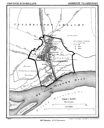
gemeente atlas van nederland - south holland
old maps of vlaardingen
gemeente atlas van nederland - south holland
1860s maps of south holland
gemeente atlas van nederland - south holland
1860s maps of south holland
gemeente atlas van nederland - south holland
1860s maps of south holland
gemeente atlas van nederland - north holland
old maps of beverwijk
gemeente atlas van nederland - south holland
maps of piershil
gemeente atlas van nederland - south holland
maps of goudswaard
gemeente atlas van nederland - south holland
maps of groote lindt
gemeente atlas van nederland - north holland
maps of zandvoort
gemeente atlas van nederland - north holland
maps of muiden
gemeente atlas van nederland - south holland
1860s maps of south holland
gemeente atlas van nederland - north holland
old maps of haarlem
gemeente atlas van nederland - north holland
maps of bloemendaal
1 - 100 of 337
Next page
/ 4