Log in
All resources
Create a design
15 Free Images of 1850s Maps Of Palestine
shadows of the east; or, slight sketches of scenery, persons and customs, from observations during a tour in 1853 and 1854, in egypt, palestine, syria, turkey, and greece (1855) by tobin
eran laor cartographic collection
english-language maps
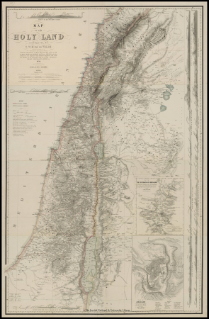
1858 van de velde maps of palestine and jerusalem
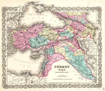
1850s maps of the levant
1850 maps
1850s maps of jerusalem
1850s maps of egypt
maps from the mechanical curator collection
joseph schwarz
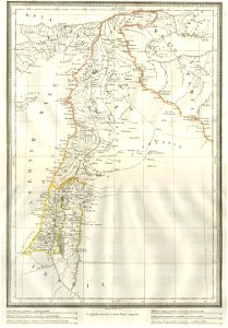
1850s maps of palestine
1850s maps of israel
19th-century maps of the caucasus
old maps of the middle east
maps from the mechanical curator collection
1855 maps
eran laor cartographic collection
joseph schwarz
1858 van de velde maps of palestine and jerusalem
1850s maps of lebanon
eran laor cartographic collection
william hughes (geographer)
1858 van de velde maps of palestine and jerusalem
1850s maps of jerusalem
maps from the mechanical curator collection
19th-century maps of the nile river
eran laor cartographic collection
joseph schwarz
shadows of the east; or, slight sketches of scenery, persons and customs, from observations during a tour in 1853 and 1854, in egypt, palestine, syria, turkey, and greece (1855) by tobin
1850s maps of palestine
shadows of the east; or, slight sketches of scenery, persons and customs, from observations during a tour in 1853 and 1854, in egypt, palestine, syria, turkey, and greece (1855) by tobin
1850s maps of palestine
shadows of the east; or, slight sketches of scenery, persons and customs, from observations during a tour in 1853 and 1854, in egypt, palestine, syria, turkey, and greece (1855) by tobin
maps of upper egypt
old maps of the nile delta
1850s maps of egypt
van de velde, 1857
gaza city in art
1858 van de velde maps of palestine and jerusalem
eran laor cartographic collection
1 - 15 of 15
/ 1