Log in
All resources
Create a design
11 Free Images of 1850s Maps Of Egypt
shadows of the east; or, slight sketches of scenery, persons and customs, from observations during a tour in 1853 and 1854, in egypt, palestine, syria, turkey, and greece (1855) by tobin
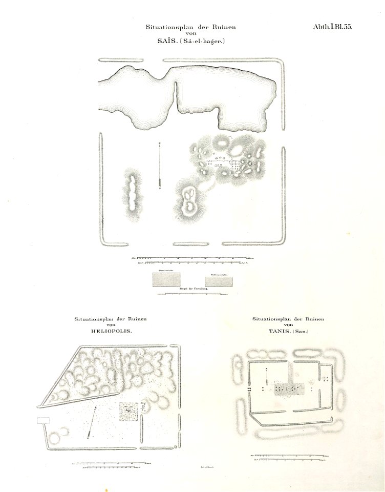
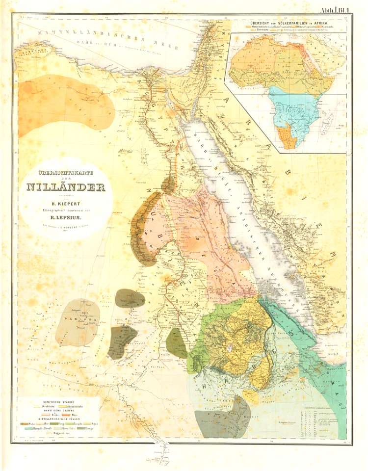
lepsius-projekt - maps
1850s maps of palestine
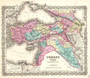
1850s maps of the levant
egypt in the 1850s
1850s maps of sudan
old maps of nile delta
maps from the mechanical curator collection
lepsius-projekt - maps
egypt in the 1850s
ancient egypt
egypt
egyptian halayeb triangle
lepsius-projekt - maps
old maps of nile delta
lepsius-projekt - maps
19th-century maps of the caucasus
old maps of the middle east
maps from the mechanical curator collection
19th-century maps of the nile river
maps from the mechanical curator collection
1855 maps
shadows of the east; or, slight sketches of scenery, persons and customs, from observations during a tour in 1853 and 1854, in egypt, palestine, syria, turkey, and greece (1855) by tobin
1850s maps of palestine
shadows of the east; or, slight sketches of scenery, persons and customs, from observations during a tour in 1853 and 1854, in egypt, palestine, syria, turkey, and greece (1855) by tobin
1850s maps of palestine
shadows of the east; or, slight sketches of scenery, persons and customs, from observations during a tour in 1853 and 1854, in egypt, palestine, syria, turkey, and greece (1855) by tobin
maps of upper egypt
old maps of the nile delta
1850s maps of egypt
1 - 11 of 11
/ 1