Log in
All resources
Create a design
66 Free Images of 1801 Maps
john cary
maps by john cary
eran laor cartographic collection
georg balthasar probst (1732-1801)
english-language maps
cc-zero
admiralty charts 1801-2000
georg balthasar probst
pages with maps
frederick william beechey
19th-century maps of the malay archipelago
19th-century maps of southeast asia
maps in the library of congress
1801 maps
maps in the library of congress
1801 maps
historical images of lepiel
maps of liepieĺ
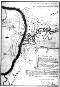
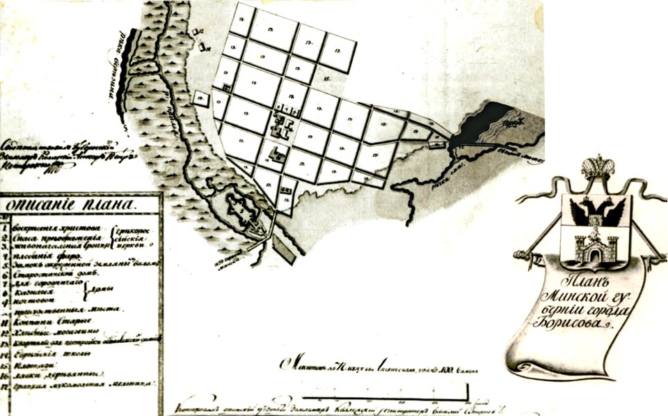
historical images of barysaŭ
maps of barysaŭ
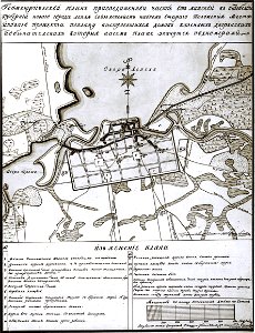
maps in russian state archives of ancient documents
historical images of viciebsk
historical images of barysaŭ
maps of barysaŭ
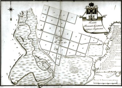
historical images of homel
maps of homieĺ
old maps of athens
1805
georg balthasar probst (1732-1801)
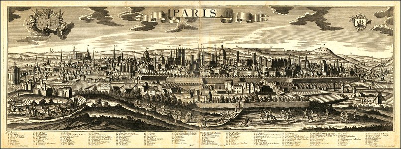
historical views of paris
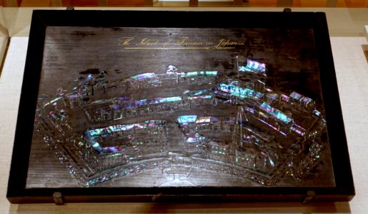
art of japan in peabody essex
maps of dejima
architecture
roof
sidewalk
city
old maps of ireland
ireland
self-published work
cc-pd-mark
self-published work
pages with maps
1801 maps of europe
maps by john cary
1800s maps of london
1801 in london
1801 map of turkey in asia by john cary
1801 maps of the ottoman empire
self-published work
green
maps by john cary
1801 maps
maps of the yucatan peninsula
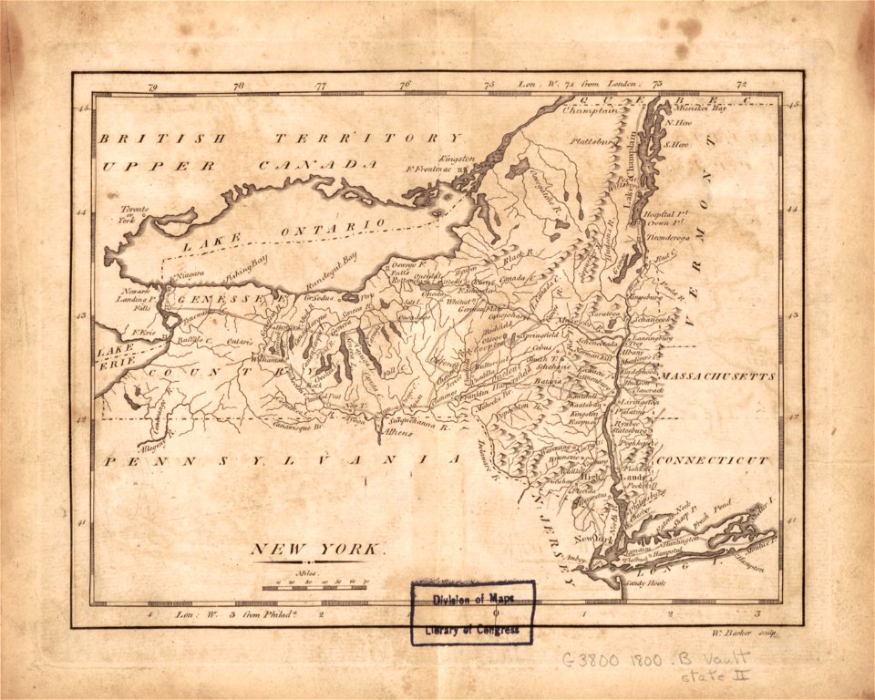
1801 maps of north america
st thomas's church, monmouth
welsh landscape collection
maps by john cary
1801 maps
maps by john cary
1801 maps
maps by john cary
1801 maps
1800s maps of the iberian peninsula
maps by john cary
1801 maps of germany
maps by john cary
maps by john cary
1801 maps
maps of territories in the lower saxony circle
maps by john cary
1800s maps of czechia
maps by john cary
1800s maps of denmark
1801 maps of europe
19th-century double hemisphere world maps
1800s maps of the world
maps by john cary
1801 maps
admiralty charts region b: england wales ireland english channel southern north sea
admiralty charts 1801-2000
maps by john cary
1801 maps
maps by john cary
1801 maps
19th-century maps of antwerp
maps of antwerp city walls
krimpenerwaard
swanenburg
maps of brussels city walls
old maps of brussels
eran laor cartographic collection
john cary
eran laor cartographic collection
john cary
maps of brussels city walls
old maps of brussels
engravings in the yale center for british art
samuel rawle
eran laor cartographic collection
john cary
maps by john cary
1799 maps
georg balthasar probst (1732-1801)
eran laor cartographic collection
eran laor cartographic collection
giovanni maria cassini
georg balthasar probst (1732-1801)
eran laor cartographic collection
old maps of brooklyn, new york city
john douglas woodward
georg balthasar probst (1732-1801)
eran laor cartographic collection
maps of orșova
vince grimm
admiralty charts region c: scotland
admiralty charts 1801-2000
admiralty charts 1801-2000
preston, lancashire
maps in the library of congress
old maps of latin america
jean-jacques lequeu exhibit (morgan library & museum)
jean-jacques lequeu
admiralty charts 1801-2000
maps of tawi-tawi
manual of the corporation of the city of new york (1857)
1857 books
admiralty charts region r: usa and mexico west coasts
admiralty charts 1801-2000
bibliothèque nationale de france
tranquillo mollo
18th-century portrait paintings in the national maritime museum, london
john francis rigaud
drawings of paris by alfred bonnardot
floor plans in musée carnavalet
drawings of paris by alfred bonnardot
medieval louvre
alonzo chappel
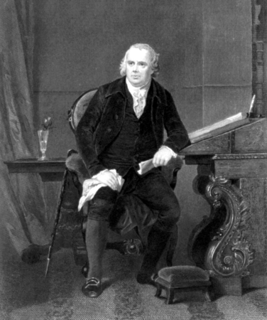
robert morris
engravings of amsterdam in the rijksmuseum amsterdam
schouwburg van de witte
engravings of amsterdam in the rijksmuseum amsterdam
works after hermanus petrus schouten
1 - 66 of 66
/ 1