Log in
All resources
Create a design
74 Free Images of 17th Century Maps Of The Americas
bibliothèque nationale de france
british library
maps by willem and johannes blaeu
17th-century maps of the spanish empire
maps by jodocus hondius
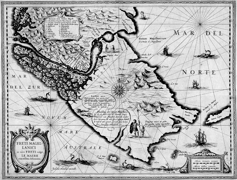
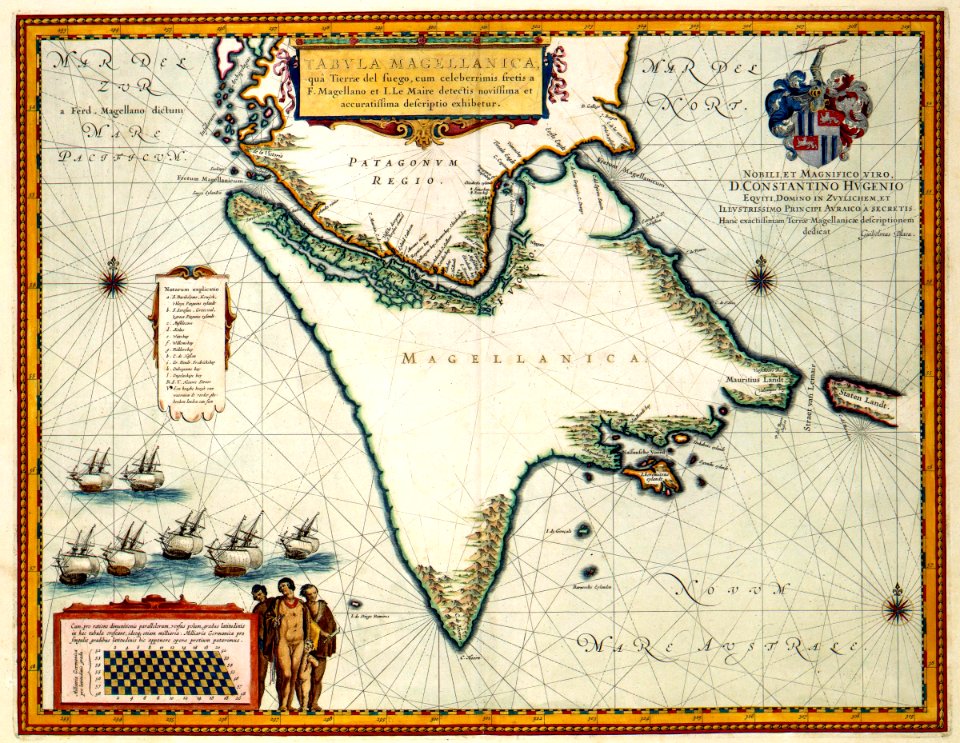
17th-century maps of the strait of magellan
latin-language maps
atlas maior, vol 12 (america) - joan blaeu, 1667 - bl 114.h(star).12
copper engraving print
joan blaeu
maps in the library of congress
maps by jodocus hondius
old maps of the new kingdom of granada
17th-century maps of guyana
17th-century maps of the strait of magellan
maps by nicolas sanson
maps by willem and johannes blaeu
pantanal
maps by jodocus hondius
old maps of virginia
18th-century maps of north america
1708 maps of north america
lawrence h. slaughter collection of english maps, charts, globes, books and atlases
maps of nieuw nederland
old maps of french guiana
1630s maps of brazil
maps by alexis-hubert jaillot
maps by nicolas sanson
old maps of the united states
copper engravings
maps of ciudad colonial
caribbean sea in art
17th-century maps of the americas
island of california
17th-century maps of the strait of magellan
1635 maps
17th-century maps of south america
maps by nicolas sanson
1600s maps of north america
1600s maps of south america
17th-century maps of the americas
maps from gallica
17th-century maps of the americas
maps by gerard valck
maps by willem and johannes blaeu
17th-century maps of the americas
1740s maps of the caribbean
daniel de la feuille
17th-century maps of the americas
maps by jodocus hondius
17th-century maps of the americas
maps by jodocus hondius
17th-century maps of the americas
maps by jodocus hondius
17th-century maps of the americas
maps by jodocus hondius
17th-century maps of the americas
maps by willem and johannes blaeu
17th-century maps of the americas
maps by jodocus hondius
17th-century maps of the americas
maps by willem and johannes blaeu
maps by hendrik hondius the younger
17th-century maps of south america
old maps of the western hemisphere
jacob van meurs
1650s maps of the americas
1658 maps
collections of the blanton museum of art
maps by alexis-hubert jaillot
the generall historie of virginia (john smith)
1624 engravings
17th-century maps of south america
description de l'universe
17th-century maps of central america
description de l'universe
atlas maior, vol 12 (america) - joan blaeu, 1667 - bl 114.h(star).12
1667 maps of north america
17th-century maps of the strait of magellan
1668 maps of south america
atlas maior, vol 12 (america) - joan blaeu, 1667 - bl 114.h(star).12
1667 maps
atlas maior, vol 12 (america) - joan blaeu, 1667 - bl 114.h(star).12
1667 maps
atlas maior, vol 12 (america) - joan blaeu, 1667 - bl 114.h(star).12
1667 maps
maps by jodocus hondius
1628 maps
native american history of virginia
17th-century maps of virginia
atlas maior, vol 12 (america) - joan blaeu, 1667 - bl 114.h(star).12
1667 maps
atlas maior, vol 12 (america) - joan blaeu, 1667 - bl 114.h(star).12
1667 maps
atlas maior, vol 12 (america) - joan blaeu, 1667 - bl 114.h(star).12
1667 maps
17th-century maps of the strait of magellan
maps by willem and johannes blaeu
17th-century maps of the strait of magellan
maps by jodocus hondius
1669 maps of south america
guillaume sanson
atlas maior, vol 12 (america) - joan blaeu, 1667 - bl 114.h(star).12
1667 maps
1668 maps of south america
maps by guillaume sanson
maps by jodocus hondius
1628 maps
17th-century maps of the strait of magellan
maps by willem and johannes blaeu
mappe-monde geo-hydrographique (sanson and jaillot, 1674)
cartography of france
1740s maps of the world
maps by emanuel bowen
17th-century maps of paraguay
1668 maps of south america
maps by joachim bormeester
1680s maps of the world
reverse sides from gallica
herman padtbrugge
reverse sides from gallica
herman padtbrugge
west-indische paskaert (doncker, 1660s)
herman padtbrugge
reverse sides from gallica
herman padtbrugge
reverse sides from gallica
herman padtbrugge
west-indische paskaert (doncker, 1660s)
herman padtbrugge
west-indische paskaert (doncker, 1660s)
herman padtbrugge
west-indische paskaert (doncker, 1660s)
herman padtbrugge
18th-century double hemisphere world maps
1730s maps of the world
18th-century double hemisphere world maps
1730s maps of the world
paraguay, o prov. de rio de la plata cum regionibus adiacentibus tucuman et sta cruz de la sierra - (blaeu) - btv1b8596658x
1640s maps of south america
17th-century maps of the strait of magellan
1640 maps of south america
1696 maps of the caribbean
1690s maps of mexico
geocentric model
1730 maps
mappe-monde geo-hydrographique (sanson and jaillot, 1674)
jacob le maire
1635 maps
maps by joachim bormeester
1685 maps
dutch 17th-century prints in the rijksmuseum amsterdam
siege of breda 1624-1625
maps in the rijksmuseum amsterdam
works after adriaen van de velde
maps by willem and johannes blaeu
17th-century maps of the world
1 - 74 of 74
/ 1