Log in
All resources
Create a design
13 Free Images of 17th Century Maps Of The Strait Of Magellan
maps by willem and johannes blaeu
bibliothèque nationale de france
maps by jodocus hondius
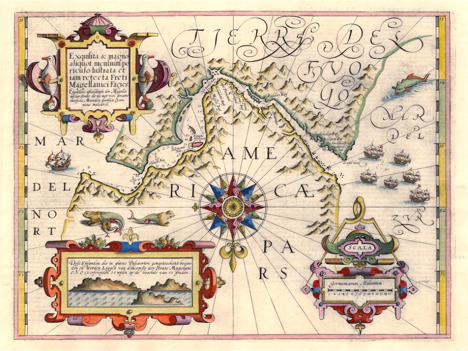
old maps of tierra del fuego
old maps of the strait of magellan
17th-century maps of argentina
1640 maps of south america
maps by jodocus hondius
1606 maps
maps made in the 17th century
jan janssonius
17th-century maps of the strait of magellan
maps by nicolas sanson
17th-century maps of the strait of magellan
1635 maps
maps by jodocus hondius
1628 maps
17th-century maps of the strait of magellan
maps by jodocus hondius
17th-century maps of the strait of magellan
maps by willem and johannes blaeu
17th-century maps of the strait of magellan
1640 maps of south america
17th-century maps of the strait of magellan
1668 maps of south america
17th-century maps of the strait of magellan
maps by willem and johannes blaeu
old maps of tierra del fuego
description de l'universe
atlas ou representation du monde universel t. 2 (1633)
17th-century maps of the strait of magellan
17th-century maps of the strait of magellan
maps in the rijksmuseum amsterdam
1 - 13 of 13
/ 1

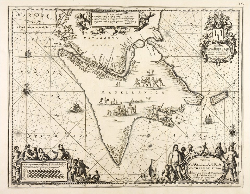


![Gerardi Mercatoris and I. Hondii Atlas or Representation of the Universal World, and of the Parts of It, Made in Tables and Very Ample Descriptions. [t. 2].](https://cdn.creazilla.com/illustrations/10001243780/gerardi-mercatoris-and-i-hondii-atlas-or-representation-of-the-universal-world-and-of-the-parts-of-it-made-in-tables-and-very-ample-descriptions-t-2-sm.webp)
