Log in
All resources
Create a design
17 Free Images of 17th Century Maps Of South Asia
17th-century maps of southeast asia
17th-century maps of the malay archipelago
maps by willem and johannes blaeu
bibliothèque nationale de france
17th-century maps of the indian ocean
old maps of the south china sea
asiae nova descriptio, by pieter van der keere
maps in the rijksmuseum amsterdam
description de l'universe
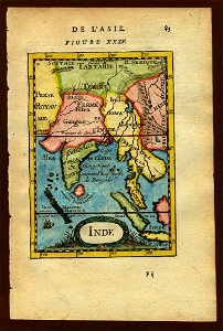
alain manesson mallet
van langren map of southeast asia
1619 maps of asia
old maps of the south china sea
1680 maps of asia
maps by willem and johannes blaeu
1638 maps of asia
maps by willem and johannes blaeu
laurens reael
tresor des cartes geographiques (1659)
1650s maps of india
asiae nova descriptio, by pieter van der keere
17th-century maps of southeast asia
maps by willem and johannes blaeu
17th-century maps of asia
asiae nova descriptio, by pieter van der keere
17th-century maps of southeast asia
17th-century maps of south asia
maps by alexis-hubert jaillot
17th-century maps of southeast asia
description de l'universe
17th-century maps of southeast asia
description de l'universe
maps by daniel lizars
1820 maps of asia
maps in the rijksmuseum amsterdam
17th-century maps of south asia
maps by joachim bormeester
1680s maps of the world
1600 maps of africa
benjamin wright
1740s maps of the world
maps by emanuel bowen
maps by joachim bormeester
1685 maps
1 - 17 of 17
/ 1