Log in
All resources
Create a design
22 Free Images of 17th Century Maps Of England And Wales
miniature speed atlas (1627) pieter van den keere
pieter van den keere
description de l'universe
alain manesson mallet
1680s maps of england
1685 maps of europe
atlas maior, vol 5 (england) - joan blaeu, 1667 - bl 114.h(star).5
copper engraving print
british library
joan blaeu
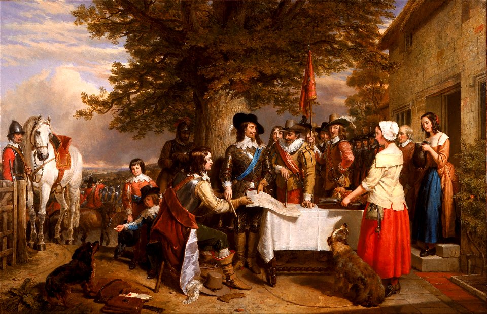
charles landseer
fairy painting
miniature speed atlas (1627) pieter van den keere
old county maps of cheshire
atlas maior, vol 5 (england) - joan blaeu, 1667 - bl 114.h(star).5
old county maps of pembrokeshire
miniature speed atlas (1627) pieter van den keere
old county maps of herefordshire
miniature speed atlas (1627) pieter van den keere
old maps of the orkney islands
miniature speed atlas (1627) pieter van den keere
1620s maps of wales
miniature speed atlas (1627) pieter van den keere
old county maps of lancashire
description de l'universe
1680s maps of england
17th-century maps of england and wales
maps by jodocus hondius
miniature speed atlas (1627) pieter van den keere
old county maps of lincolnshire
old maps of guernsey
old maps of jersey
description de l'universe
1680s maps of england
old maps of whole wales (alone)
description de l'universe
atlas maior, vol 5 (england) - joan blaeu, 1667 - bl 114.h(star).5
17th-century maps of england and wales
description de l'universe
1680s maps of england
miniature speed atlas (1627) pieter van den keere
old county maps of huntingdonshire
miniature speed atlas (1627) pieter van den keere
old county maps of gloucestershire
miniature speed atlas (1627) pieter van den keere
old county maps of leicestershire
miniature speed atlas (1627) pieter van den keere
old maps of the hebrides
miniature speed atlas (1627) pieter van den keere
old county maps of derbyshire
17th-century maps of england and wales
maps by willem and johannes blaeu
17th-century maps of the british isles
maps by willem and johannes blaeu
1 - 22 of 22
/ 1