Log in
All resources
Create a design
19 Free Artworks of Surveying In Mexico
frederick william beechey
geocentric model
heliocentric model
latin-language maps
daniel stoopendaal
biblia, dat is de gantsche h. schrifture
art in california - a survey of american art (1916)
admiralty charts region r: usa and mexico west coasts
maps by frederick william beechey
university of texas at arlington
maps by jacques-nicolas bellin
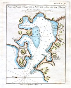
old maps of saint lucia
paintings in new mexico
henry cheever pratt
salt river, arizona
john e. weyss
art in california - a survey of american art (1916)
will sparks
art in california - a survey of american art (1916)
theodore wores
admiralty charts region r: usa and mexico west coasts
admiralty charts 1801-2000
maps of the mexican-american war
maps by joseph warren revere
admiralty charts region r: usa and mexico west coasts
admiralty charts 401-600
maps from the earth and its inhabitants, vol. xvi
surveying in mexico
maps in the library of congress
old maps of veracruz (city)
maps by gouverneur k. warren
maps by edwin freyhold
atlas to accompany the official records of the union and confederate armies
everett d. graff collection of western americana
mappe-monde geo-hydrographique (sanson and jaillot, 1674)
1760s maps of the americas
1760 maps
mappe-monde geo-hydrographique (sanson and jaillot, 1674)
cartography of france
18th-century double hemisphere world maps
1730s maps of the world
18th-century double hemisphere world maps
1730s maps of the world
geocentric model
1730 maps
1779 maps of the united states
1770s maps of the caribbean
1 - 19 of 19
/ 1