Log in
All resources
Create a design
161 Free Artworks of Sea&nautical
albert
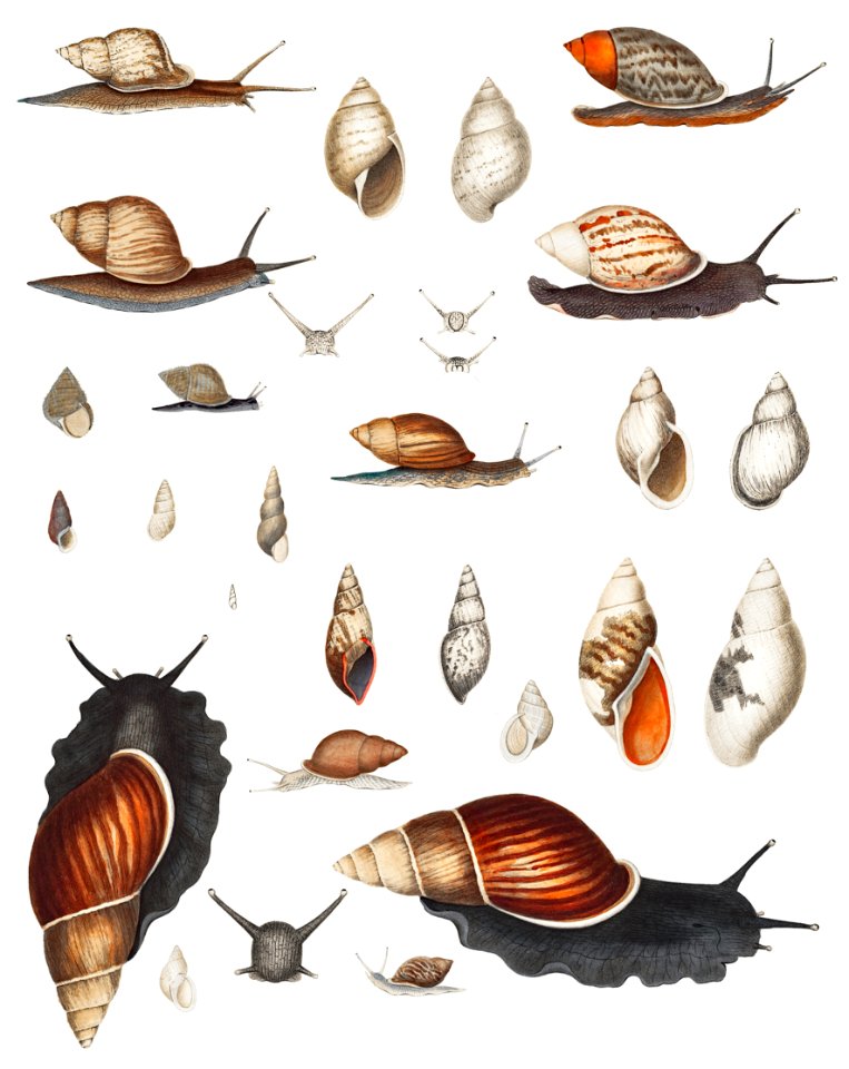
ocean
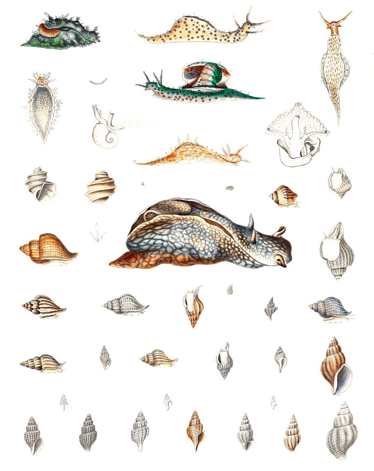
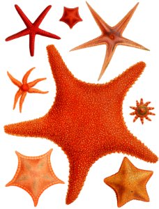
sea creature
engraving
animals
poster
science
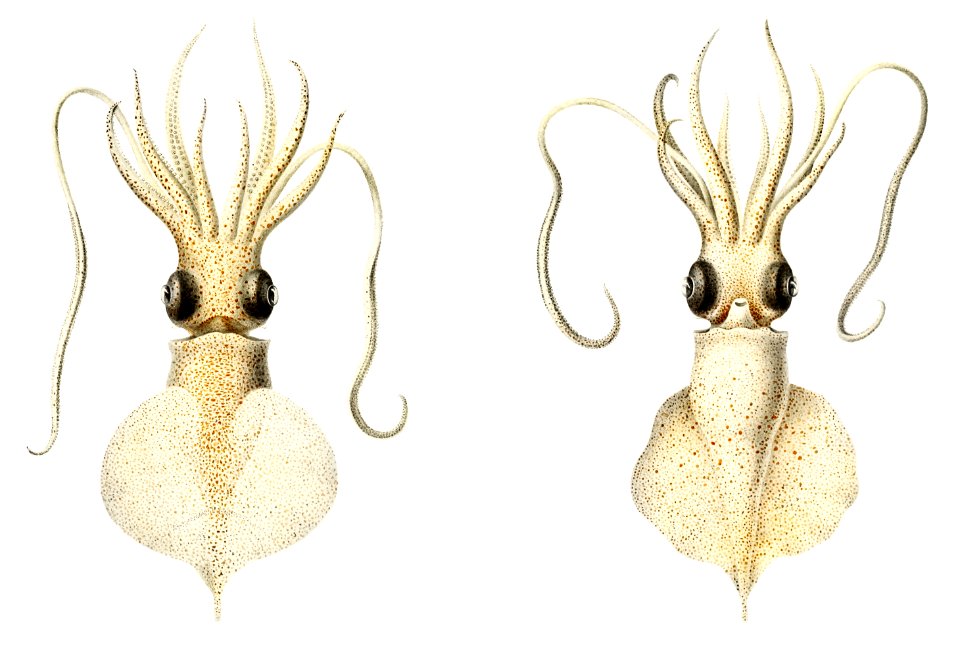
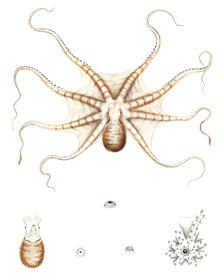
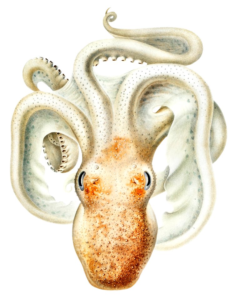
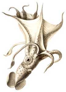
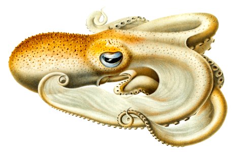
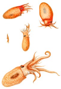
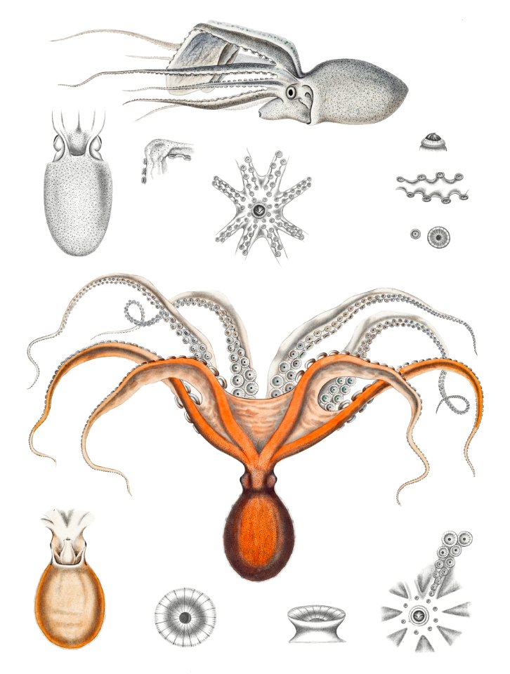
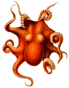
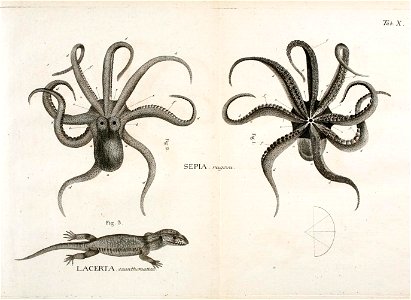
octopus
marine
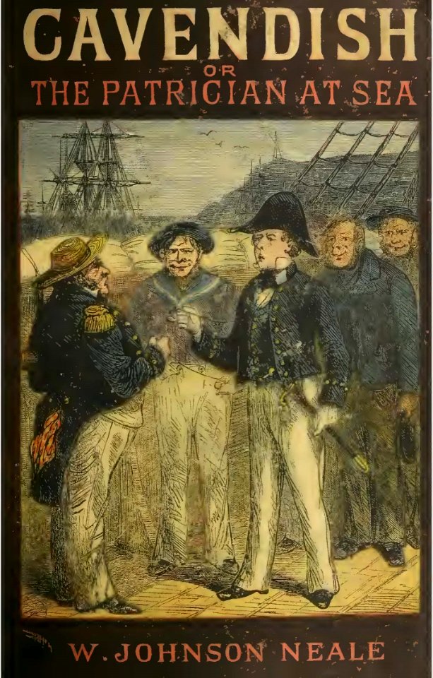
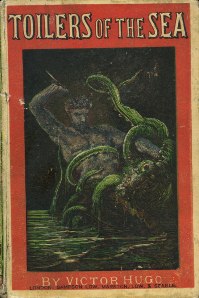
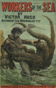
book
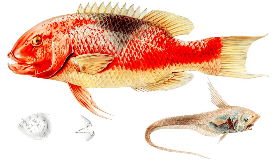
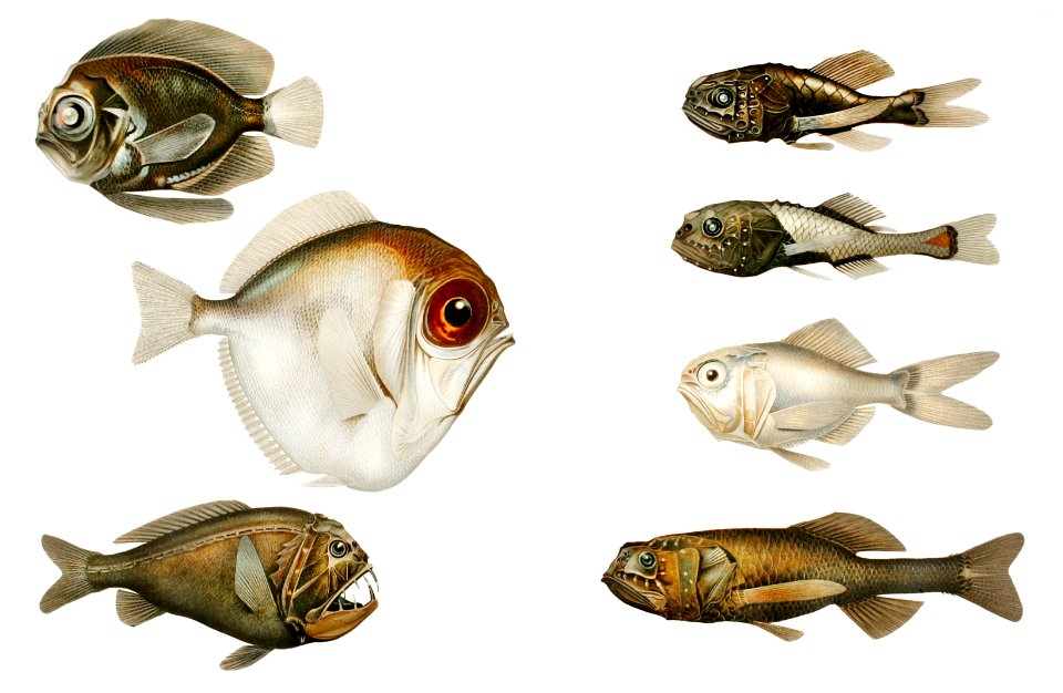
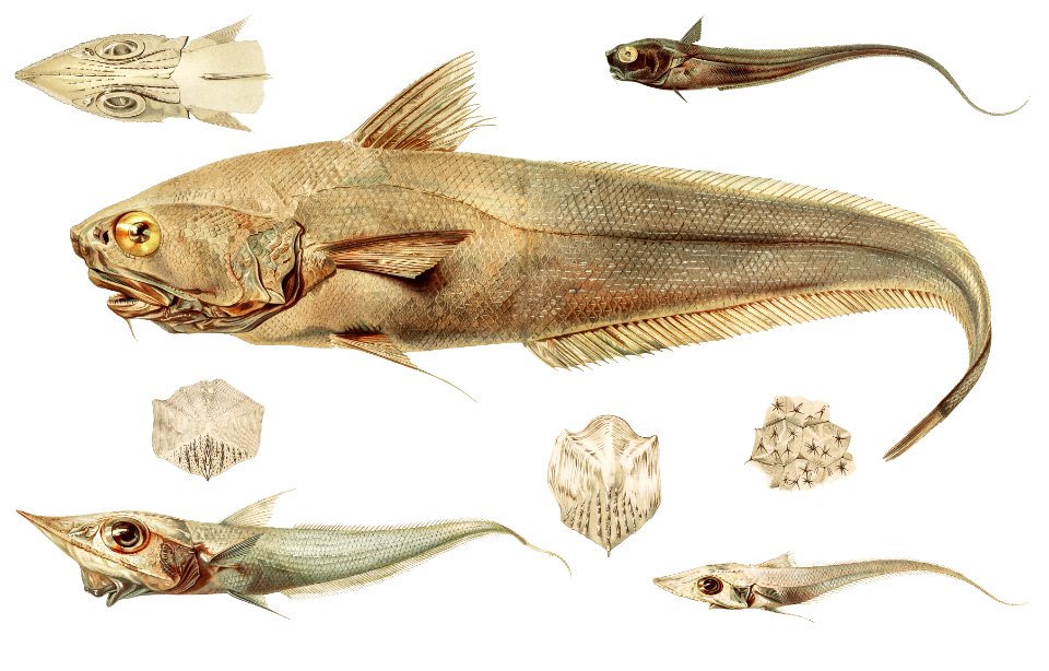
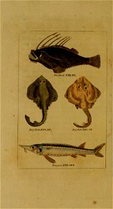
fish
sea
travel
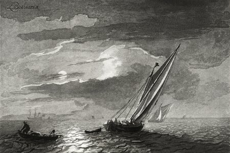
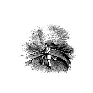
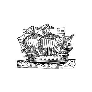
ship
animals
sea
animals
winter
heart
sea
vincenzo coronelli
1690s maps
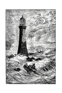
moon
sea
science
sea
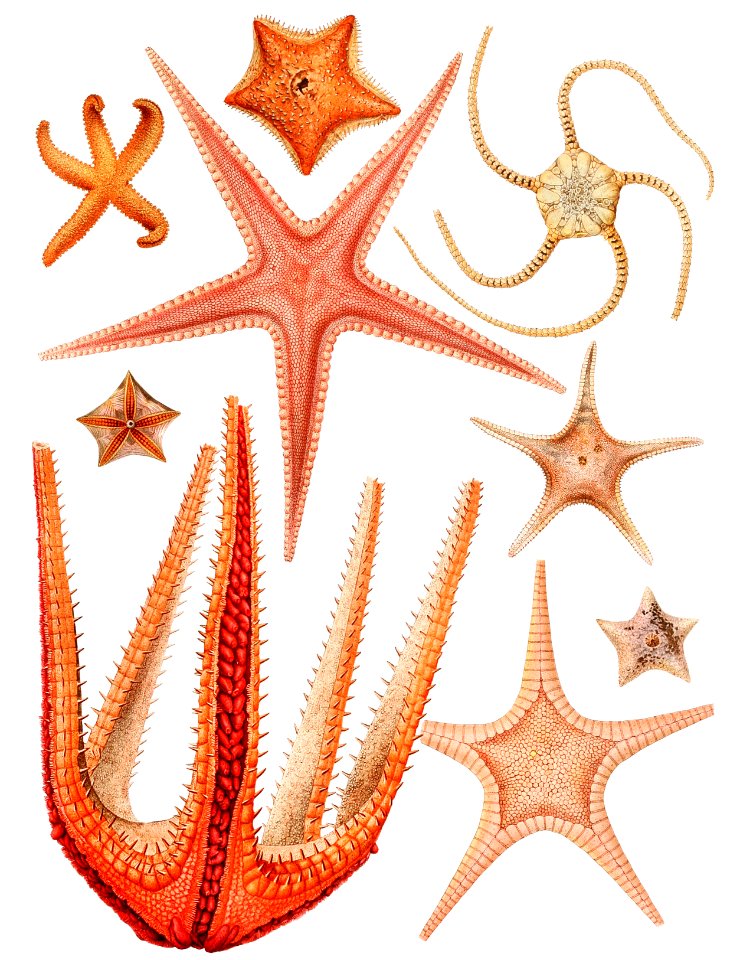
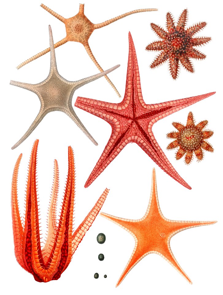
animals
sea
science
sea
animals
sea
animals
fish
drawings and watercolours of the royal museums greenwich
printing
book
sea
science
sea
science
sea
fish
sea
science
sea
travel
sea
fish
sea
fish
sea
animals
sea
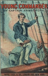
book
sea
book
sea
landscape
water
ocean
sea
ocean
sea
science
sea
animals
sea
science
sea
nautical
sea
science
sea
fish
sea
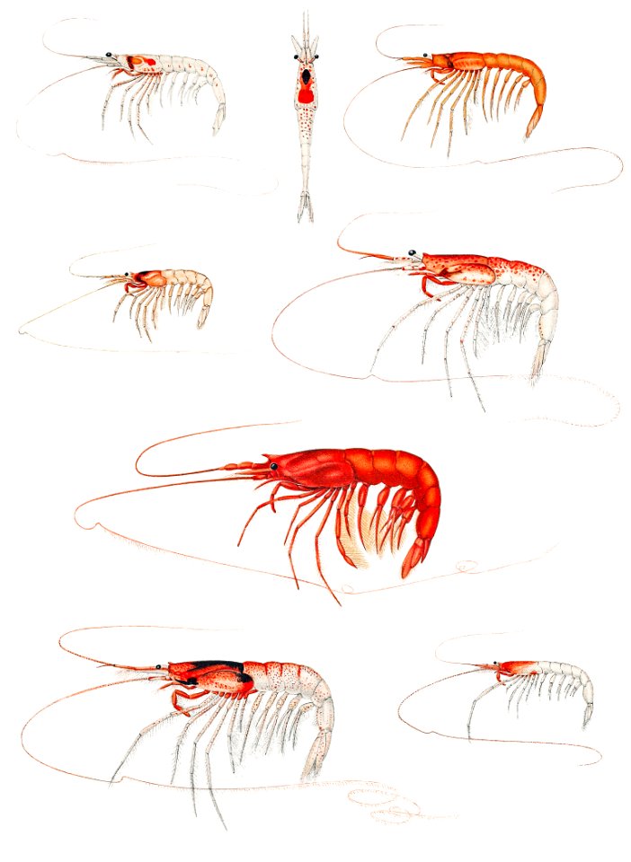
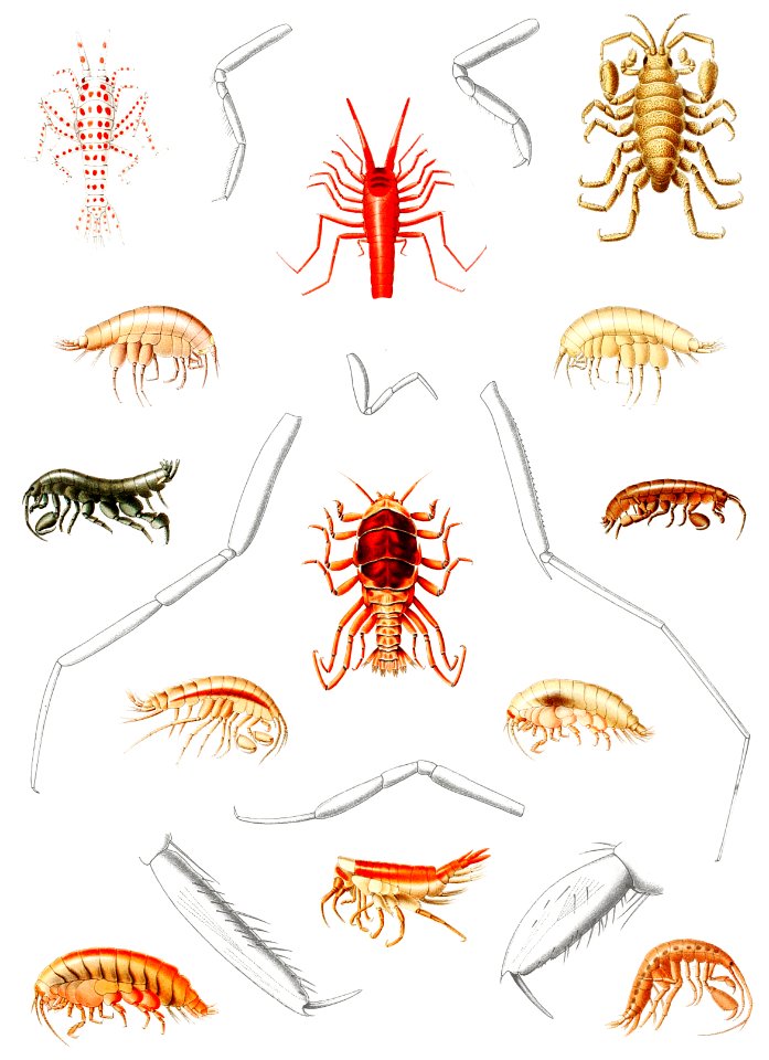
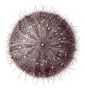
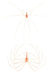
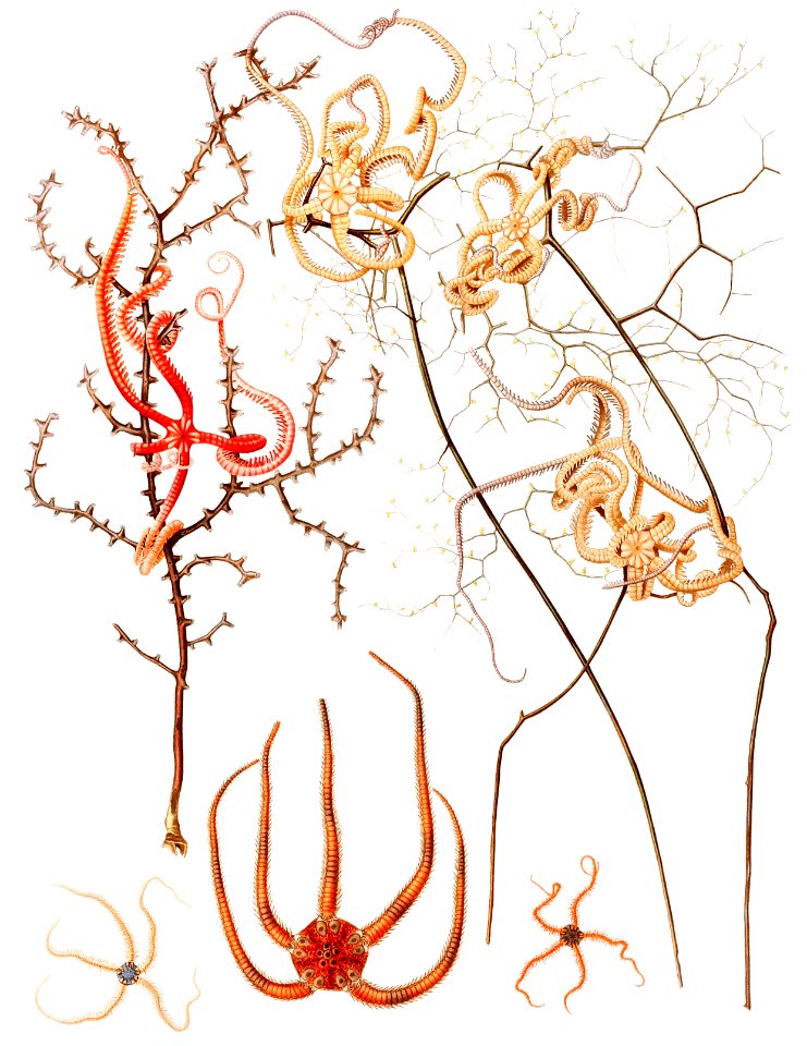
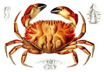
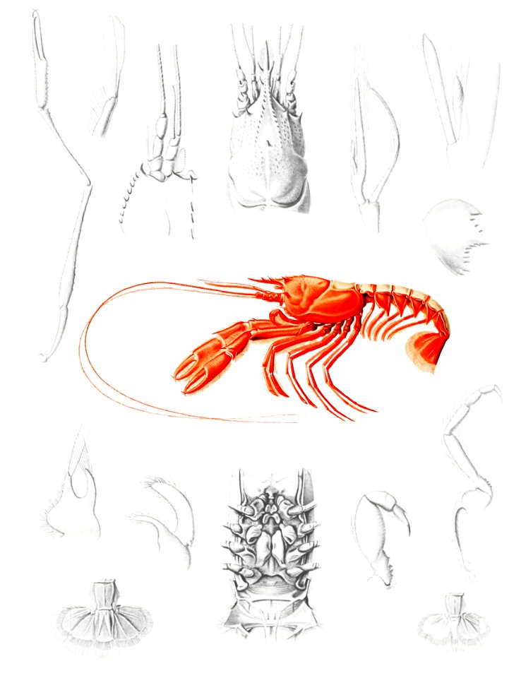
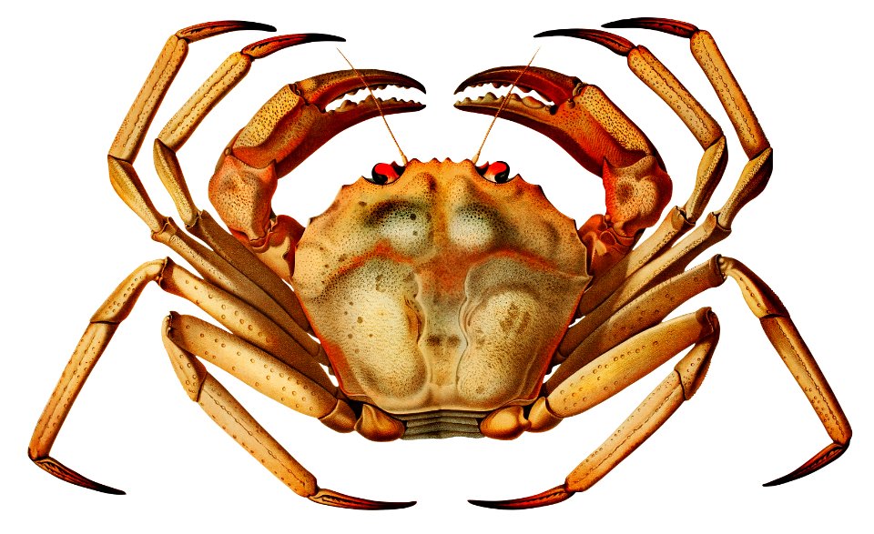
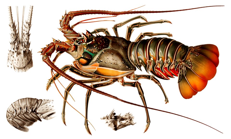
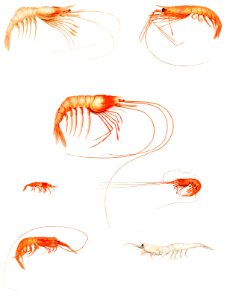
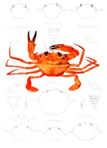
crustacean
sea
nautical
sea
animals
science
ocean
sea
book
sea
animals
sea
nautical
sea
crustacean
animals
science
sea
science
sea
ocean
sea
animals
science
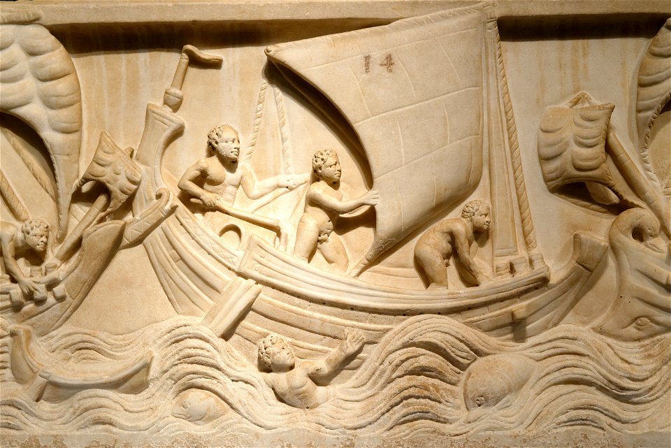
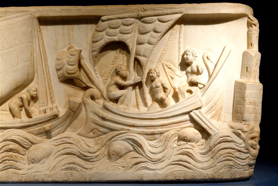
ancient roman sculptures in ny carlsberg glyptotek
reliefs of ancient roman ships
building
sea
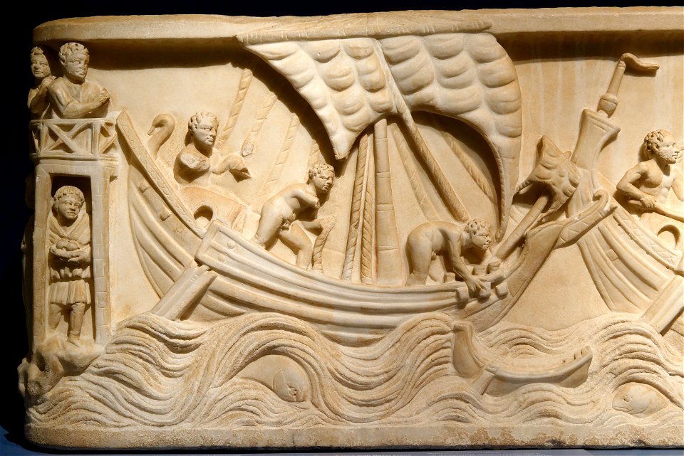
ancient roman sculptures in ny carlsberg glyptotek
reliefs of ancient roman ships
ancient roman sculptures in ny carlsberg glyptotek
reliefs of ancient roman ships
nautical
book
animals
book
ancient roman sculptures in ny carlsberg glyptotek
reliefs of ancient roman ships
flag
boat
nautical
sea
animals
science
illustration
animals
ocean
boat
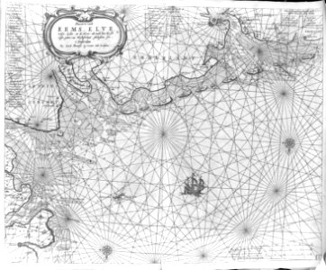
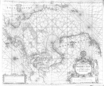
admiralty charts region b: england wales ireland english channel southern north sea
admiralty charts 1801-2000
maps of the turks and caicos islands
1782 maps of the caribbean
maps by willem and johannes blaeu
dutch-language maps
pictorial works
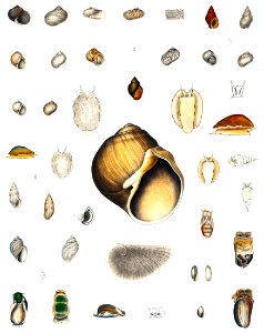
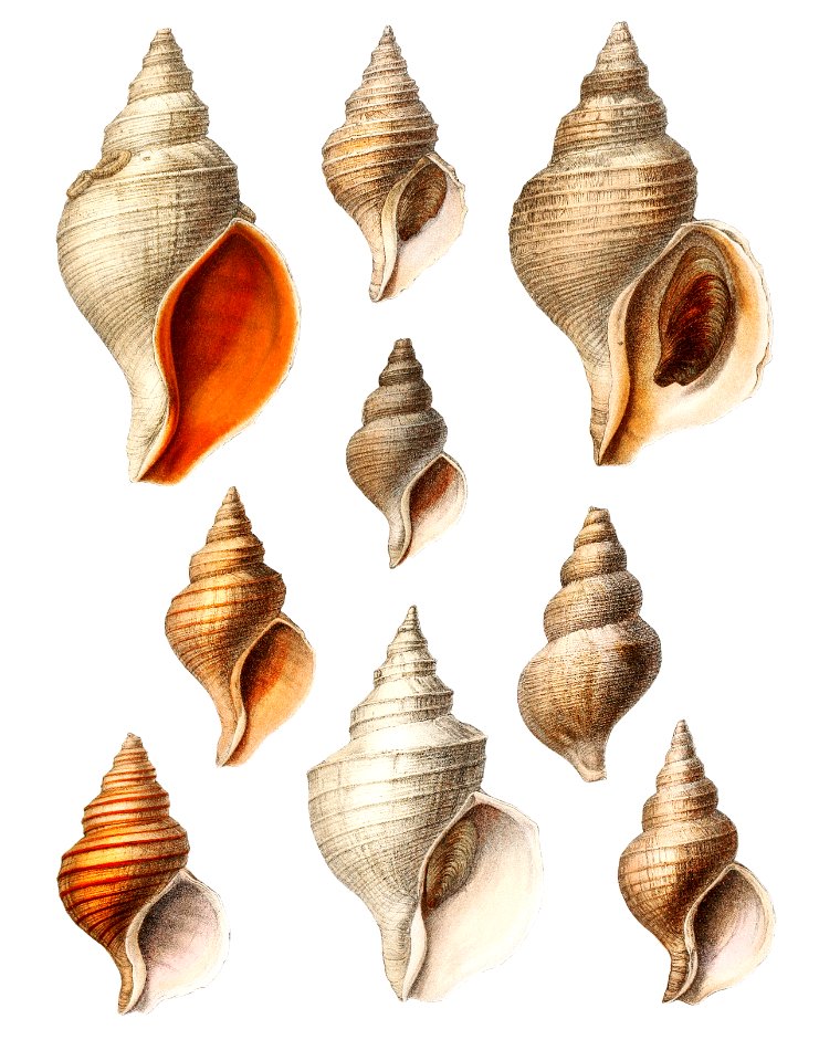
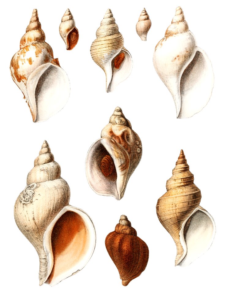
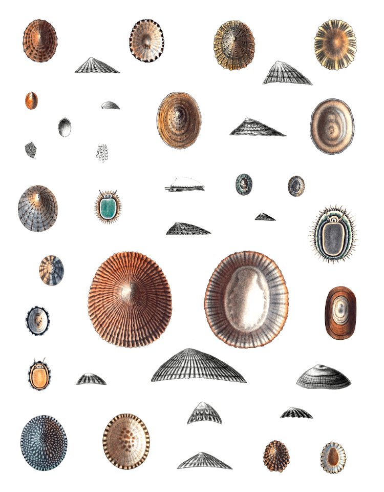
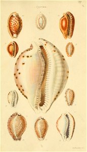
shell
18th-century maps of the sea of marmara
18th-century maps of the dardanelles
cartouches by willem and johannes blaeu
dutch-language maps
17th-century maps of the mediterranean sea
1610 maps of europe
maps by willem and johannes blaeu
maps of the wadden sea
18th-century french nautical charts
old maps of lemnos
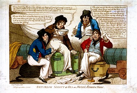
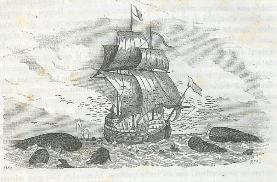
sailing ships
seas
sailing ships
seas
sailing ships
seas
sailing ships
seas
sailing ships
seas
sailing ships
seas
17th-century maps of the mediterranean sea
portolan charts made in the 17th century
nautical
lizard
fish
bird
boat
ship
animals
nature
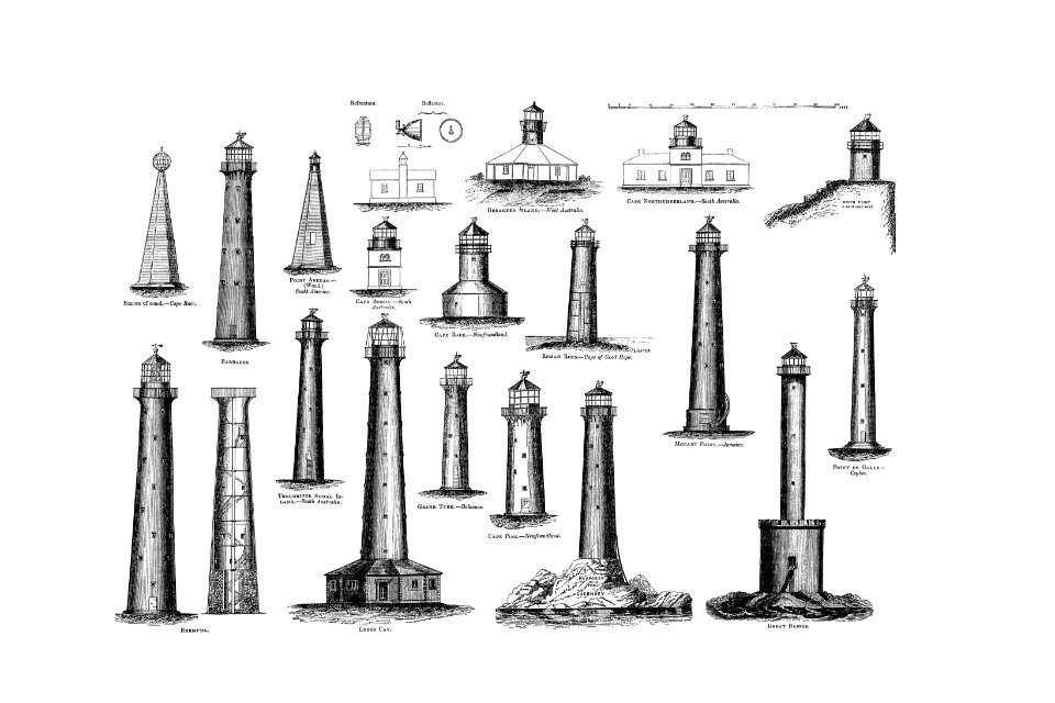
illustrated times 1855
henry spernon tozer
nature
sea
admiralty charts region b: england wales ireland english channel southern north sea
admiralty charts 2401-2600
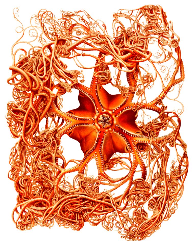
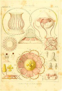
jellyfish
nautical
1810s maps of the near east
maps by john cary
boat
sea
1782 maps of the caribbean
maps by juan lopez
1810s maps of the near east
maps by john cary
admiralty charts 2001-2200
westport, county mayo
admiralty charts region b: england wales ireland english channel southern north sea
admiralty charts 1401-1600
cartography
maps
ocean
sea
admiralty charts region b: england wales ireland english channel southern north sea
admiralty charts 1001-1200
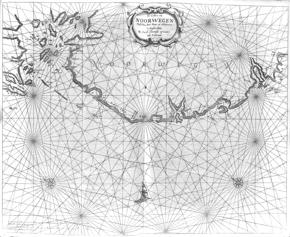
admiralty charts region d: eastern north sea baltic norway iceland faroes svalbard
admiralty charts 3001-3400
cartography
maps
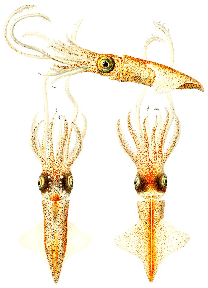
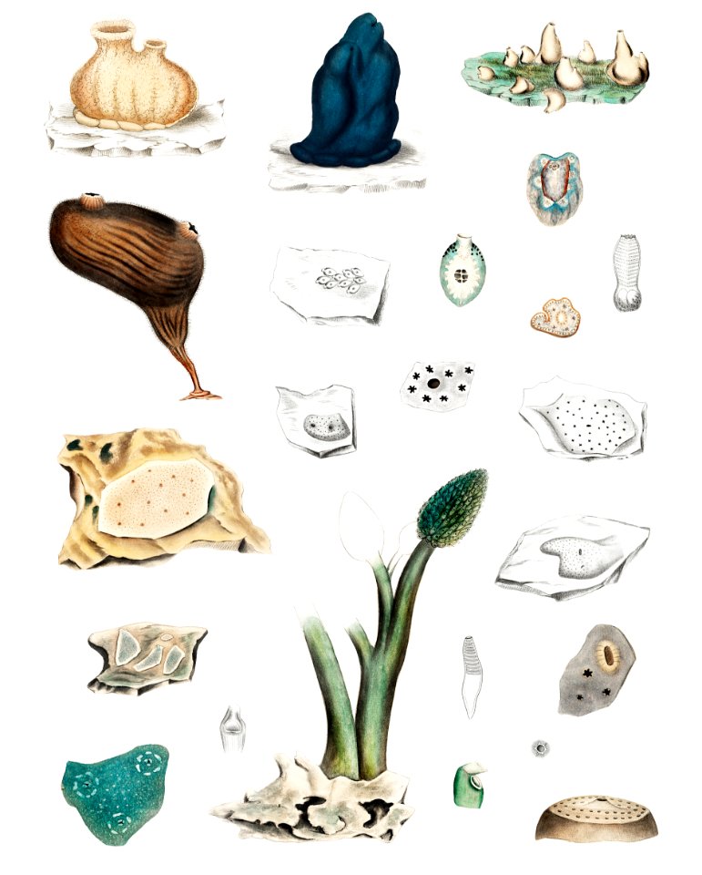
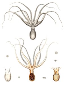
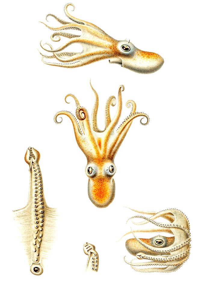
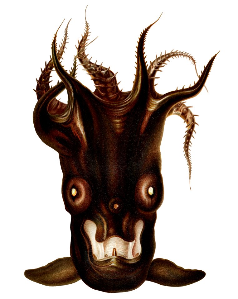
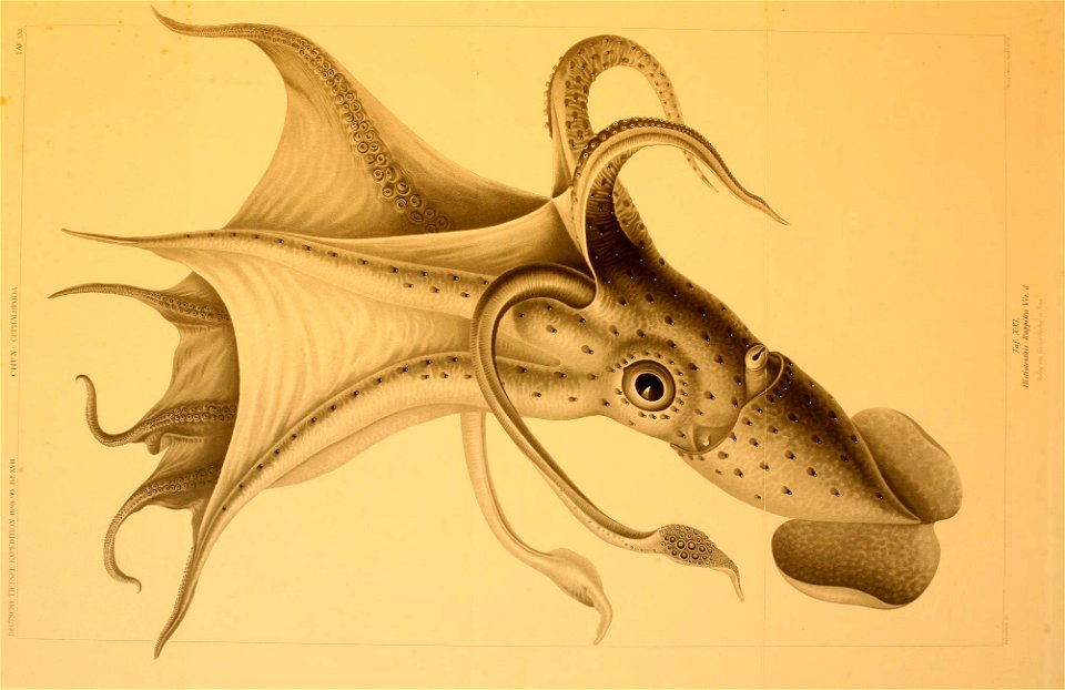
cephalopoda
ribes
boat
sea
admiralty charts region b: england wales ireland english channel southern north sea
admiralty charts 1401-1600
cartography
maps
cartography
maps
cartography
maps
cartography
maps
cartography
maps
1 - 100 of 161
Next page
/ 2