Log in
All resources
Create a design
18 Free Artworks of Old Maps Of Frisia
old maps of friesland
old maps of east frisia
maps by willem and johannes blaeu
maps from university of amsterdam special collections
atlas der neederlanden
atlas der neederlanden deel v: holland 4. noord-holland
old maps of kennemerland
maps by isaak tirion
copperplate print
special collections of the university of amsterdam
1640s maps of lower saxony
atlas novus (blaeu)
maps by gerard valck
atlas beudeker
maps by willem and johannes blaeu
old maps of friesland
1610s maps of the netherlands
old maps of friesland
de wikisource book leaflet
de nordseeküste (karten)
portolan charts by willem and johannes blaeu
old maps of friesland
maps by pieter van der keere
old maps of friesland
maps by guillaume sanson
old maps of friesland
maps by willem and johannes blaeu
old maps of friesland
maps by willem and johannes blaeu
old maps of friesland
maps by willem and johannes blaeu
old maps of friesland
atlas van loon
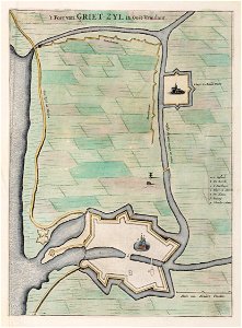
greetsiel
maps from university of amsterdam special collections
atlas der neederlanden
maps from university of amsterdam special collections
atlas der neederlanden
maps from university of amsterdam special collections
atlas der neederlanden
maps from university of amsterdam special collections
atlas der neederlanden
atlas ou representation du monde universel t. 2 (1633)
maps by hendrik hondius the younger
atlas ou representation du monde universel t. 2 (1633)
old maps of east frisia
1 - 18 of 18
/ 1