Log in
All resources
Create a design
13 Free Artworks of Old Maps Of Cumberland
old county maps of cumberland
bibliothèque nationale de france
17th-century maps of cumberland
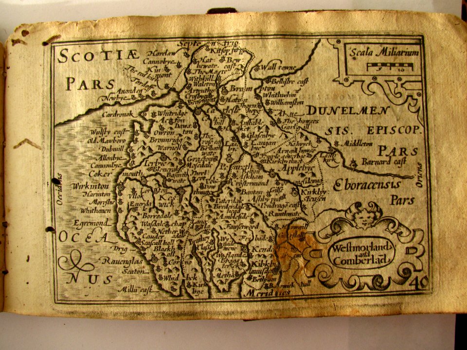
old county maps of westmorland
old maps of westmorland
westmorland, cumberland, durham, and northumberland (1858)
chorographia britanniae (1741-1742)
maps from the earth and its inhabitants, vol. iv
old maps of the lake district
19th-century maps of cumberland
17th-century maps of cumberland
old county maps of cumberland
maps in the british museum
maps facing southeast
miniature speed atlas (1627) pieter van den keere
county maps of england by john speed
atlas maior, vol 5 (england) - joan blaeu, 1667 - bl 114.h(star).5
17th-century maps of cumberland
maps by william home lizars
old maps of sydney
westmorland, cumberland, durham, and northumberland (1858)
old maps of westmorland
chorographia britanniae (1741-1742)
18th-century maps of cumberland
maps by thomas kitchin
old maps of scotland
westmorland, cumberland, durham, and northumberland (1858)
old maps of westmorland
maps from the earth and its inhabitants, vol. iv
old maps of the lake district
maps from the earth and its inhabitants, vol. iv
old maps of the lake district
chorographia britanniae (1741-1742)
18th-century maps of westmorland
maps by willem and johannes blaeu
old maps of westmorland
1 - 13 of 13
/ 1