Log in
All resources
Create a design
26 Free Artworks of North America In The 17th Century
latin-language maps
oil on canvas
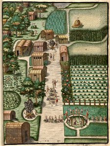
secotan
island of california on world maps
18th-century double hemisphere world maps
geocentric model
heliocentric model
daniel stoopendaal
biblia, dat is de gantsche h. schrifture
native americans in 17th-century art
johann theodor de bry
pocahontas in art
18th-century maps of north america
1708 maps of north america
samuel de champlain
quebec in the 1620s
old maps of the united states
copper engravings
portraits of john winthrop
charles osgood
north carolina algonquin
theodor de bry
paintings by robert walter weir
realism
1600s maps of north america
1600s maps of south america
1650s maps of the americas
1658 maps
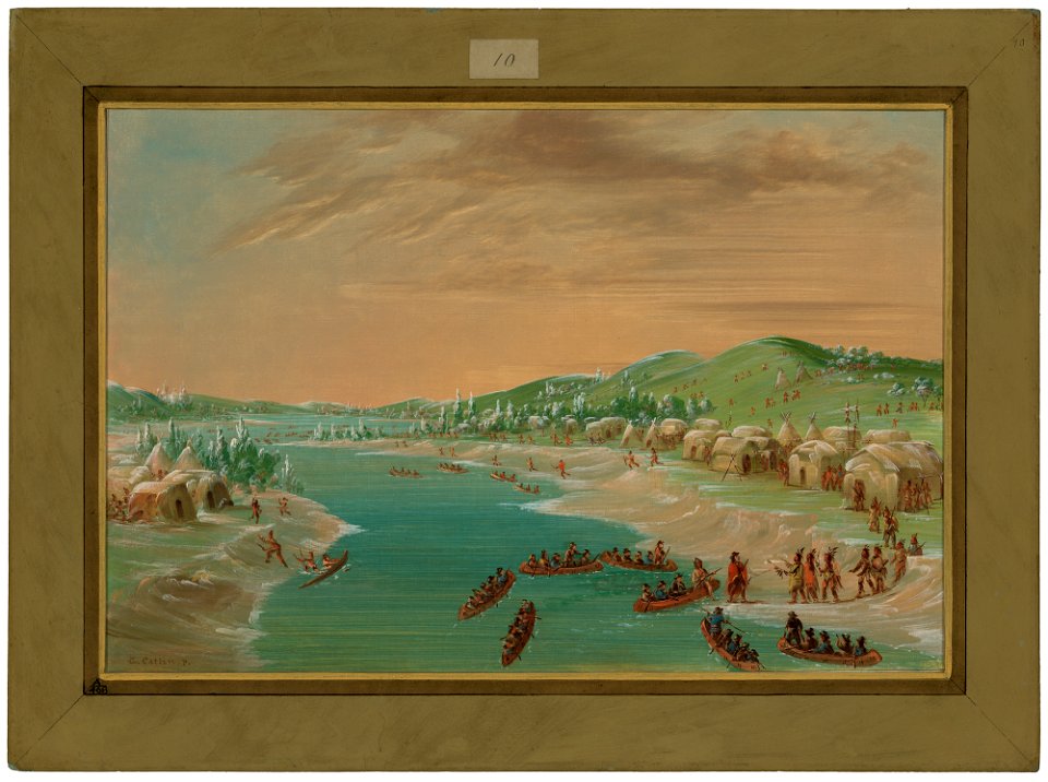
paintings by george catlin in the national gallery of art
realism
1740s maps of the caribbean
daniel de la feuille
old maps of french guiana
1630s maps of brazil
atlas maior, vol 12 (america) - joan blaeu, 1667 - bl 114.h(star).12
1667 maps of north america
portraits by federico zuccari
renaissance,mannerism
old maps of the western hemisphere
jacob van meurs
mappe-monde geo-hydrographique (sanson and jaillot, 1674)
cartography of france
native american history of virginia
17th-century maps of virginia
the generall historie of virginia (john smith)
1624 engravings
mappe-monde geo-hydrographique (sanson and jaillot, 1674)
maps by joachim bormeester
1680s maps of the world
18th-century double hemisphere world maps
1730s maps of the world
18th-century double hemisphere world maps
1730s maps of the world
geocentric model
1730 maps
1696 maps of the caribbean
1690s maps of mexico
1740s maps of the world
maps by emanuel bowen
maps by joachim bormeester
1685 maps
1 - 26 of 26
/ 1