Log in
All resources
Create a design
219 Free Artworks of Maps Of Zeeland
gemeente atlas van nederland - zeeland
old maps of zeeland
maps of polders in zeeland
old maps of tholen
maps by isaak tirion
isaak tirion
18th-century maps of zeeland
atlas schoemaker-zeeland
koninklijke bibliotheek
old maps of sluis
maps by willem and johannes blaeu
old maps of middelburg, zeeland
maps by isaak tirion
1751 maps
maps of the county of flanders
county of zeeland
copper engravings
old maps of goes
old maps of middelburg, zeeland
atlas van loon
18th-century maps of zeeland
county of zeeland
maps by christian sgrothen
old maps of zeeland
18th-century maps of zeeland
maps by isaak tirion
old maps of zeeland
old maps of holland
atlas schoemaker-zeeland
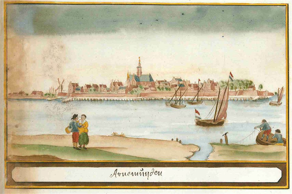
old maps of arnemuiden
atlas schoemaker-zeeland
old maps of arnemuiden
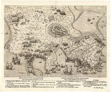
siege of hulst 1591
old maps of hulst
gemeente atlas van nederland - zeeland
maps of westkapelle (walcheren)
gemeente atlas van nederland - zeeland
19th-century maps of zeeland
maps of polders in zeeland
maps of terneuzen
atlas schoemaker-zeeland
old maps of kapelle
atlas schoemaker-zeeland
old maps of veere
atlas schoemaker-zeeland
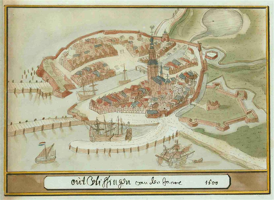
old maps of vlissingen
atlas schoemaker-zeeland
old maps of vlissingen
gemeente atlas van nederland - zeeland
maps of poortvliet
gemeente atlas van nederland - zeeland
maps of sint-maartensdijk
gemeente atlas van nederland - zeeland
maps of koewacht (terneuzen)
gemeente atlas van nederland - zeeland
kortgene
gemeente atlas van nederland - zeeland
maps of sint-annaland
gemeente atlas van nederland - zeeland
maps of oud-vossemeer
gemeente atlas van nederland - zeeland
maps of sint philipsland
maps by christian sgrothen
old maps of zeeland
maps by christian sgrothen
old maps of zeeland
maps of polders in zeeland
old maps of sluis
maps of polders in zeeland
old maps of sluis
maps of polders in zeeland
old maps of sluis
maps of polders in zeeland
old maps of sluis
maps of polders in zeeland
maps of terneuzen
maps of polders in zeeland
old maps of sluis
gemeente atlas van nederland - north brabant
zeeland, north brabant
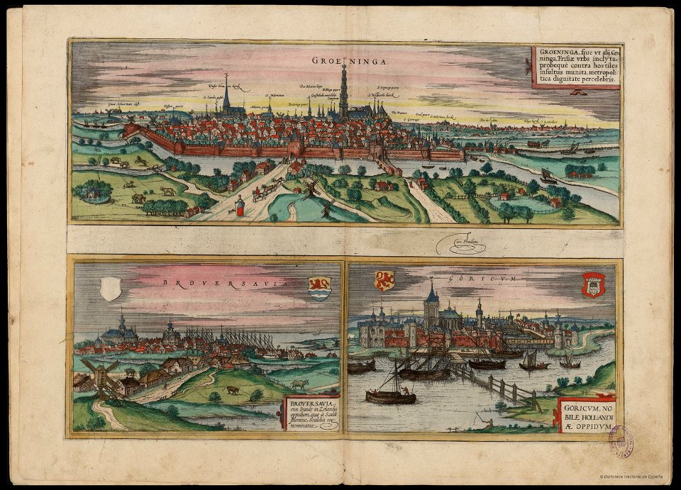
16th-century copper engravings
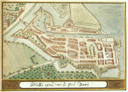
history of brouwershaven
old maps of zeeland
copper engravings
gemeente atlas van nederland - zeeland
old maps of middelburg, zeeland
gemeente atlas van nederland - zeeland
old maps of middelburg, zeeland
old maps of flanders
copper engravings
gemeente atlas van nederland - zeeland
scherpenisse
gemeente atlas van nederland - zeeland
stavenisse
lucas janszoon waghenaer
old maps of zeeland
gemeente atlas van nederland - zeeland
old maps of vlissingen
gemeente atlas van nederland - zeeland
old maps of tholen
gemeente atlas van nederland - zeeland
maps of oostkapelle
gemeente atlas van nederland - zeeland
maps of zoutelande
prints of cartouches in the rijksmuseum amsterdam
maps in the rijksmuseum amsterdam
maps from university of amsterdam special collections
atlas der neederlanden
gemeente atlas van nederland - zeeland
burgh-haamstede
gemeente atlas van nederland - zeeland
old maps of sluis
gemeente atlas van nederland - zeeland
old maps of zierikzee
gemeente atlas van nederland - zeeland
maps of graauw
gemeente atlas van nederland - zeeland
maps of kloetinge
gemeente atlas van nederland - zeeland
maps of breskens
gemeente atlas van nederland - zeeland
maps of nieuwvliet
gemeente atlas van nederland - zeeland
maps of ossenisse
gemeente atlas van nederland - zeeland
maps of clinge
gemeente atlas van nederland - zeeland
maps of ijzendijke
gemeente atlas van nederland - zeeland
maps of vrouwenpolder
gemeente atlas van nederland - zeeland
maps of domburg
gemeente atlas van nederland - zeeland
maps of eede
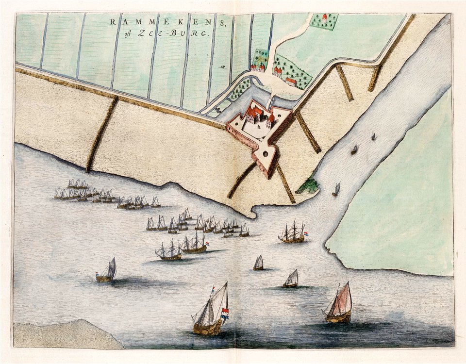
fort rammekens in art
1649 maps
maps by willem and johannes blaeu
atlas van loon
gemeente atlas van nederland - zeeland
old maps of hulst
gemeente atlas van nederland - zeeland
old maps of zaamslag
gemeente atlas van nederland - zeeland
old maps of goes
gemeente atlas van nederland - zeeland
old maps of terneuzen
gemeente atlas van nederland - zeeland
old maps of axel
gemeente atlas van nederland - zeeland
old maps of veere
gemeente atlas van nederland - zeeland
old maps of kapelle
gemeente atlas van nederland - zeeland
old maps of aardenburg
gemeente atlas van nederland - zeeland
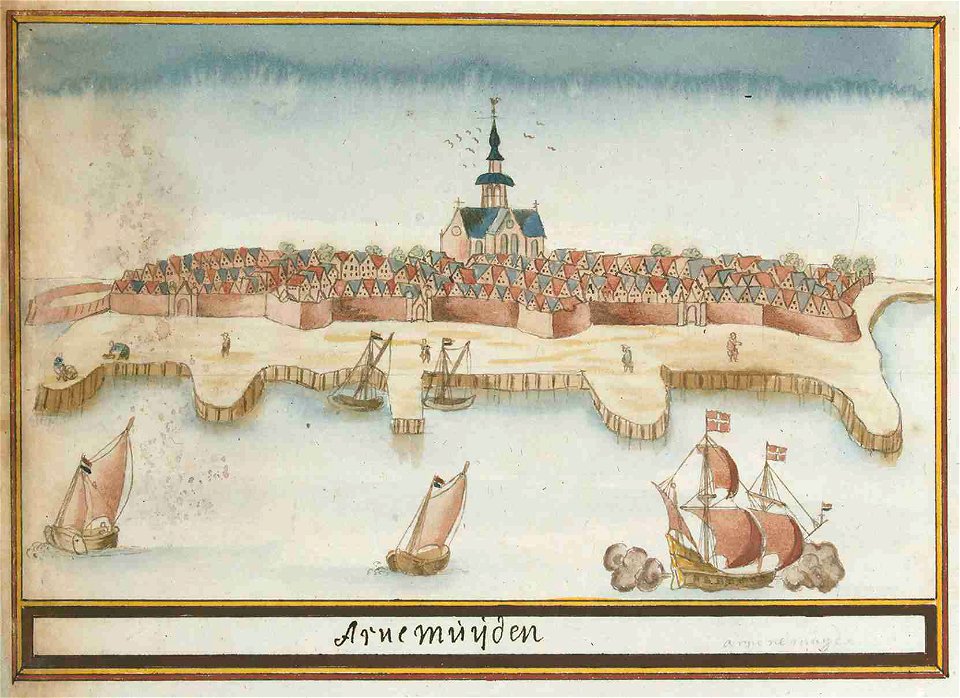
old maps of arnemuiden
18th-century maps of zeeland
maps by isaak tirion
17th-century maps of zeeland
old maps of south holland
gemeente atlas van nederland - zeeland
maps of sint jansteen
old maps of north brabant
1645 maps of belgium
cornelius aurelius world map
1916 maps
maps in the rijksmuseum amsterdam
old maps of tholen
prints of cartouches in the rijksmuseum amsterdam
maps in the rijksmuseum amsterdam
prints of cartouches in the rijksmuseum amsterdam
maps in the rijksmuseum amsterdam
gemeente atlas van nederland - zeeland
maps of polders in zeeland
gemeente atlas van nederland - zeeland
maps of polders in zeeland
old maps of arnemuiden
atlas van loon
1580s maps of the netherlands
1580s maps of belgium
old maps of vlissingen
atlas van loon
maps from university of amsterdam special collections
atlas der neederlanden
gemeente atlas van nederland - zeeland
old maps of sas van gent
gemeente atlas van nederland - zeeland
maps of polders in zeeland
gemeente atlas van nederland - zeeland
maps of polders in zeeland
maps by christian sgrothen
manuscript maps
gemeente atlas van nederland - zeeland
kreekrakdam
portolan charts by willem and johannes blaeu
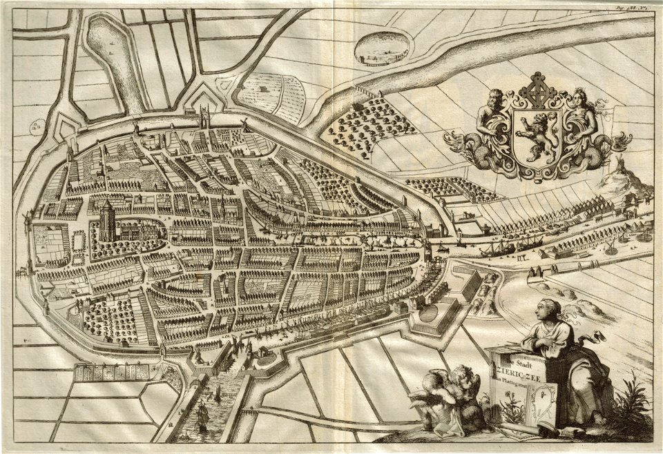
copper engravings
old maps of zierikzee
1696
gemeente atlas van nederland - zeeland
bommenede
maps by abraham ortelius
old maps of zeeland
1750s maps of the netherlands
18th-century maps of zeeland
siege of hulst 1596
old maps of hulst
maps made in the 17th century
johannes van keulen
fort rammekens in art
old maps of zeeland
1 - 100 of 219
Next page
/ 3