Log in
All resources
Create a design
23 Free Artworks of Maps Of Spitsbergen
old maps of spitsbergen
old maps of svalbard
16th-century maps of the arctic
third voyage of willem barentsz
maps of novaya zemlya
old maps of the arctic
dutch-language maps
cornelis claesz
baptista van doetecum
maps of the north pole
third voyage of willem barentsz
16th-century maps of the arctic
third voyage of willem barentsz
history of dutch sea fisheries
third voyage of willem barentsz
history of dutch sea fisheries
third voyage of willem barentsz
16th-century maps of the arctic
overwintering on nova zembla by willem barentsz, 1596-1597
maps in the rijksmuseum amsterdam
third voyage of willem barentsz
16th-century maps of the arctic
the voyage of the vega round asia and europe
third voyage of willem barentsz
overwintering on nova zembla by willem barentsz, 1596-1597
maps in the rijksmuseum amsterdam
old maps of spitsbergen
old maps of the arctic
maps with cartouches
atlas van der hagen
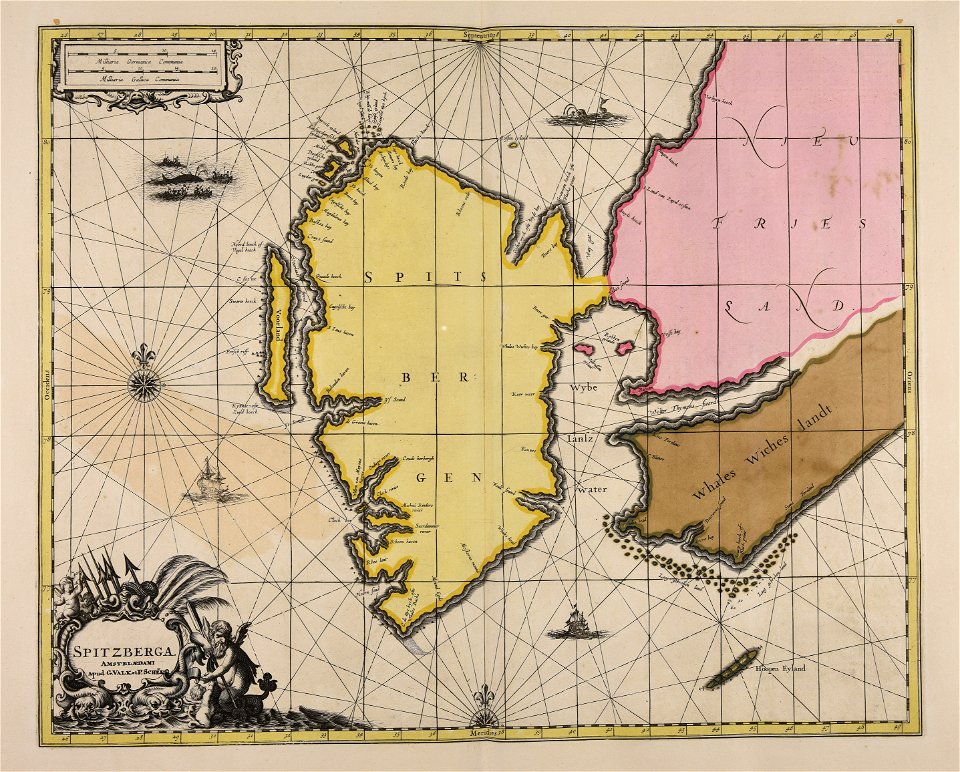
gerard valck
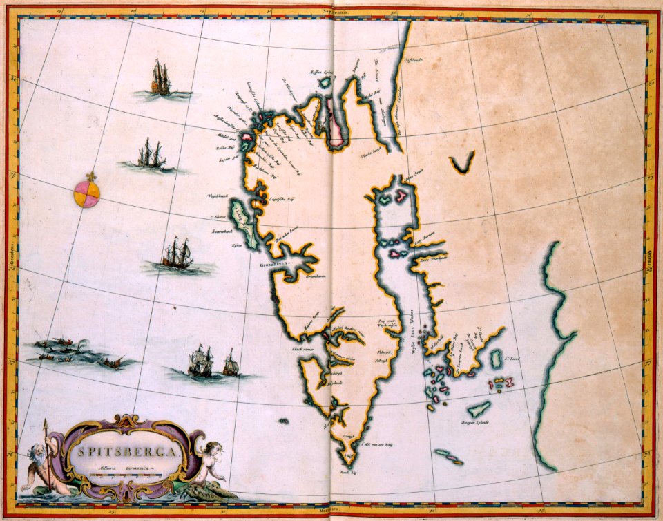
spitsbergen
old maps of spitsbergen
1642
old maps of svalbard
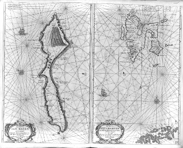
old maps of iceland
maps
wall
atlas maior, vol 1 (northern europe, norway, and denmark) - joan blaeu, 1667 - bl 114.h(star).1
1667 maps
description de l'universe
spitsbergen
admiralty charts region d: eastern north sea baltic norway iceland faroes svalbard
admiralty charts 3001-3400
maps from the earth and its inhabitants, vol. v
maps of spitsbergen
maps from the earth and its inhabitants, vol. v
old maps of spitsbergen
cartography
maps
chromolithographs in the rijksmuseum amsterdam
maps in the rijksmuseum amsterdam
de nieuwe groote lichtende zee-fakkel (rijksmuseum)
prints by jan luyken in the rijksmuseum amsterdam
maps in the rijksmuseum amsterdam
emrik & binger
1 - 23 of 23
/ 1