Log in
All resources
Create a design
280 Free Artworks of Maps Of Mountains
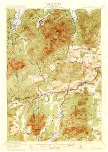
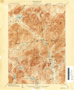
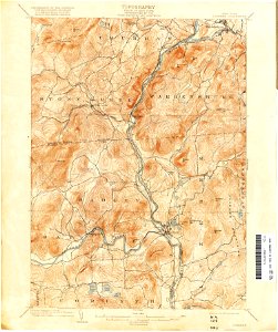
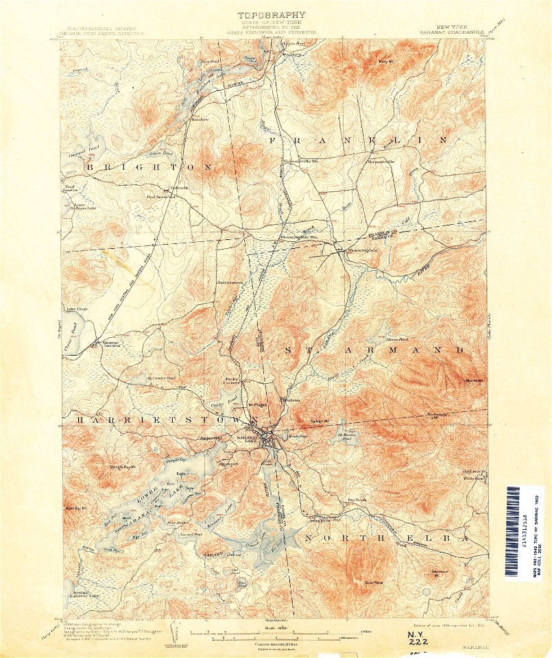
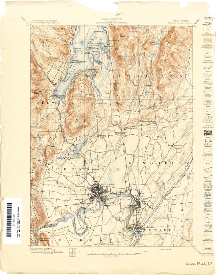
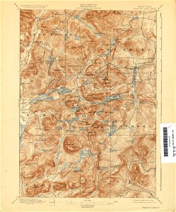
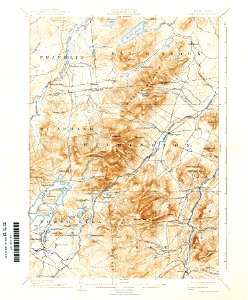
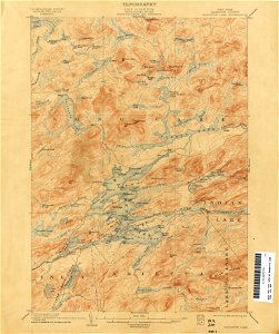
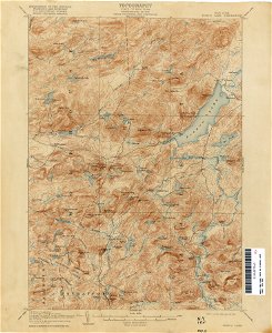
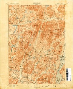
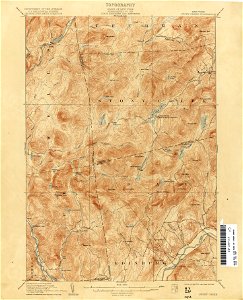
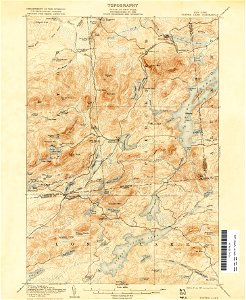
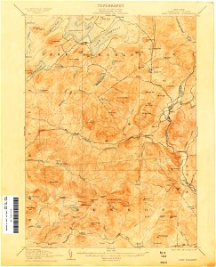
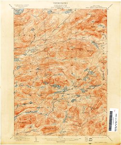
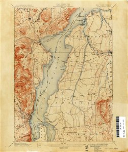
maps of the adirondack mountains
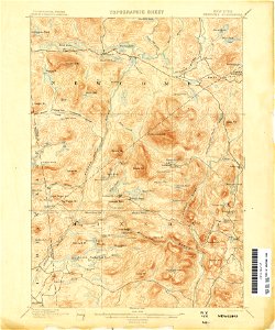
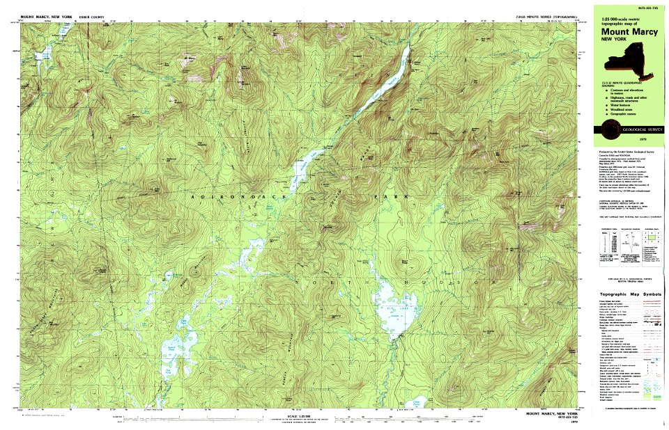
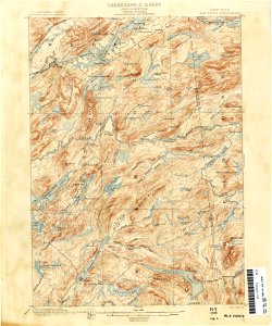
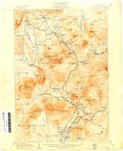
united states geological survey maps
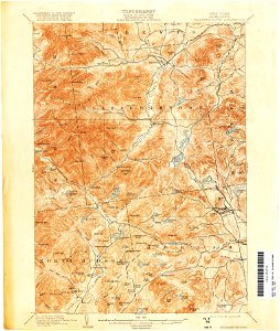
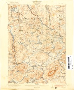
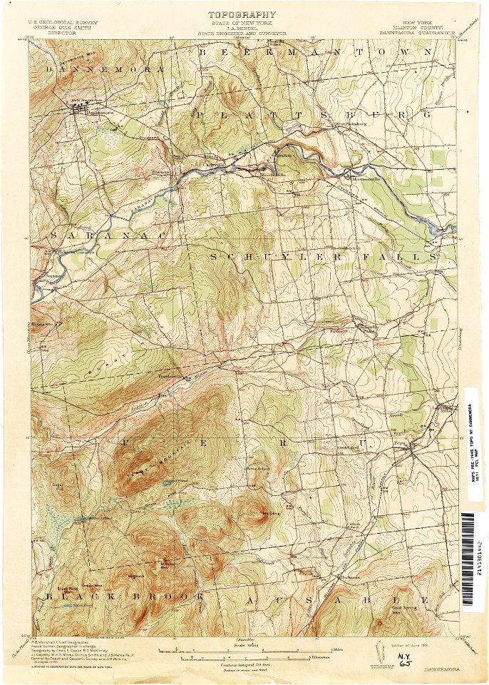
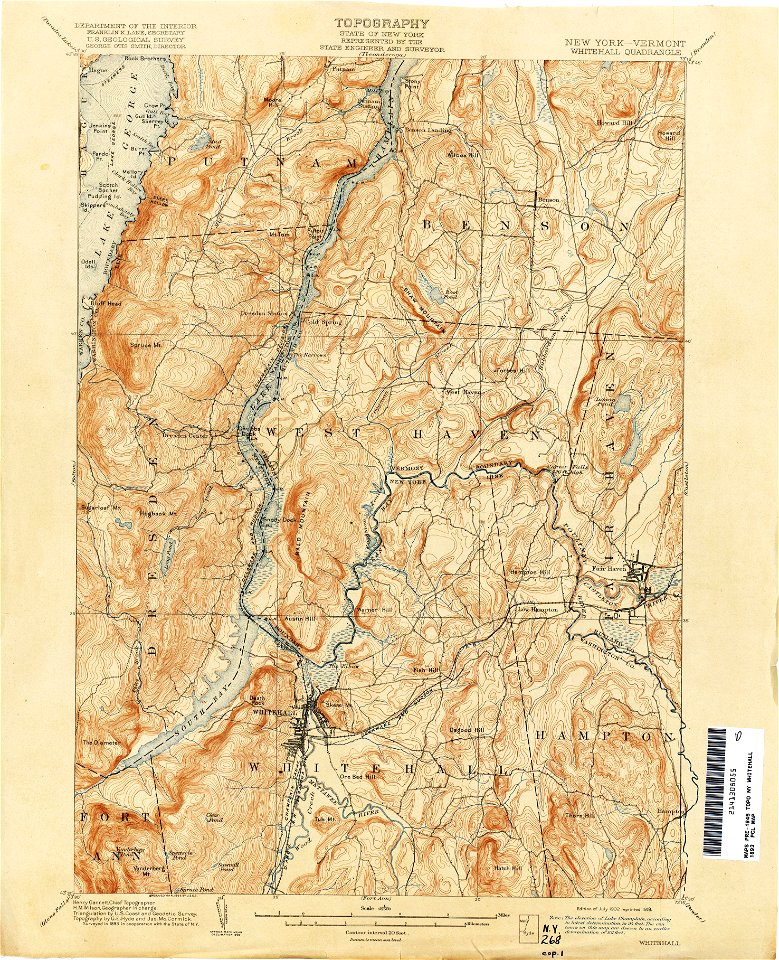
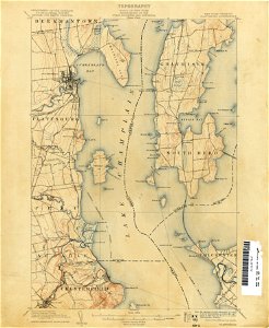
topographic maps of new york (state)
old maps of new york (state)
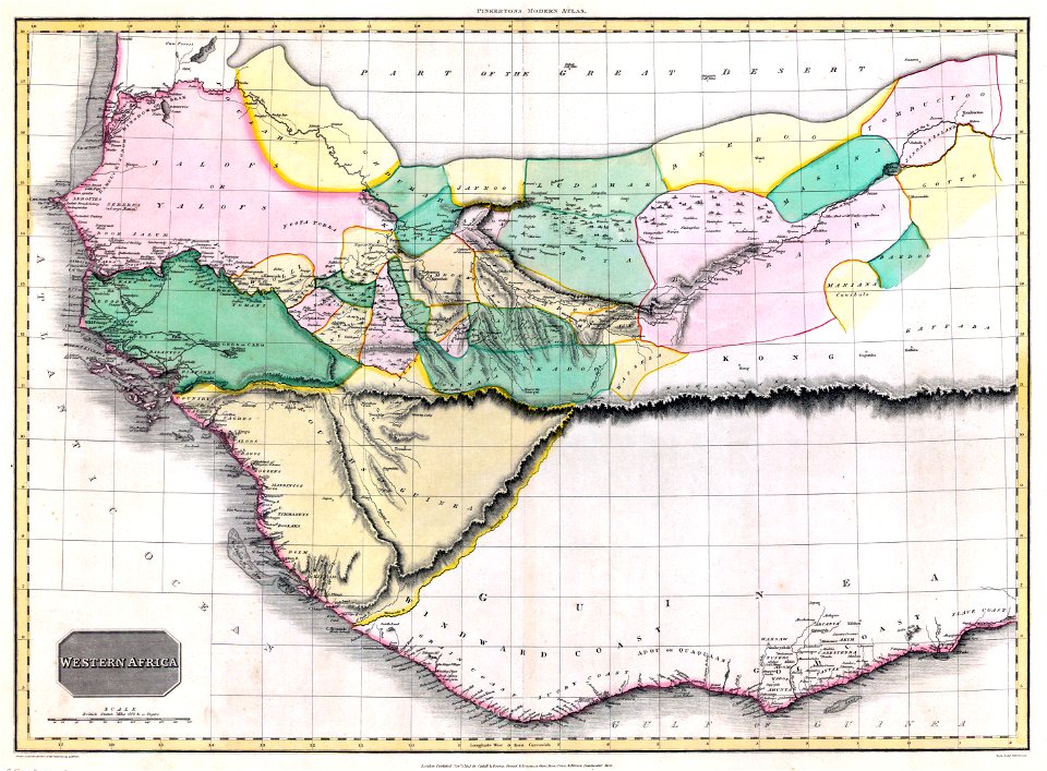
maps from the earth and its inhabitants, vol. vi
alay mountains
trans-alay mountains
pamir mountains
tian shan
kyrgyz alatau
novi belgii, atlas maior
new netherland
maps of the adirondack mountains
old maps of new york (state)
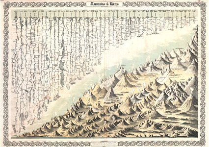
geographic comparison diagrams
1855 maps
geographic comparison diagrams
diagrams of mountains
maps of the adirondack mountains
old maps of new york (state)
united states geological survey maps
old maps of new york (state)
united states geological survey maps
old maps of new york (state)
united states geological survey maps
old maps of new york (state)
united states geological survey maps
old maps of new york (state)
united states geological survey maps
old maps of new york (state)
united states geological survey maps
old maps of new york (state)
united states geological survey maps
old maps of new york (state)
united states geological survey maps
old maps of new york (state)
united states geological survey maps
old maps of new york (state)
united states geological survey maps
old maps of new york (state)
united states geological survey maps
old maps of new york (state)
united states geological survey maps
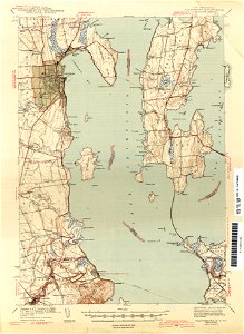
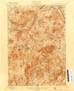
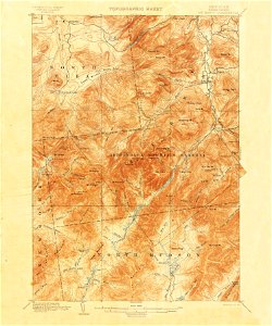
topographic maps of new york (state)
united states geological survey maps
maps of the adirondack mountains
united states geological survey maps
old maps of new york (state)
united states geological survey maps
topographic maps of new york (state)
united states geological survey maps
topographic maps of new york (state)
united states geological survey maps
old maps of new york (state)
united states geological survey maps
old maps of new york (state)
united states geological survey maps
old maps of new york (state)
united states geological survey maps
old maps of new york (state)
united states geological survey maps
old maps of new york (state)
united states geological survey maps
old maps of new york (state)
united states geological survey maps
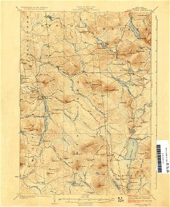
topographic maps of new york (state)
united states geological survey maps
old maps of new york (state)
united states geological survey maps
topographic maps of new york (state)
united states geological survey maps
old maps of new york (state)
united states geological survey maps
old maps of new york (state)
united states geological survey maps
old maps of new york (state)
united states geological survey maps
old maps of new york (state)
united states geological survey maps
old maps of new york (state)
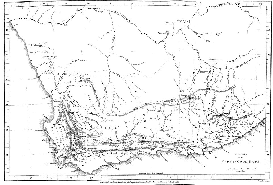
maps of rivers of south africa
mountains of south africa
united states geological survey maps
old maps of new york (state)
maps of the ore mountains
details of meilenblätter
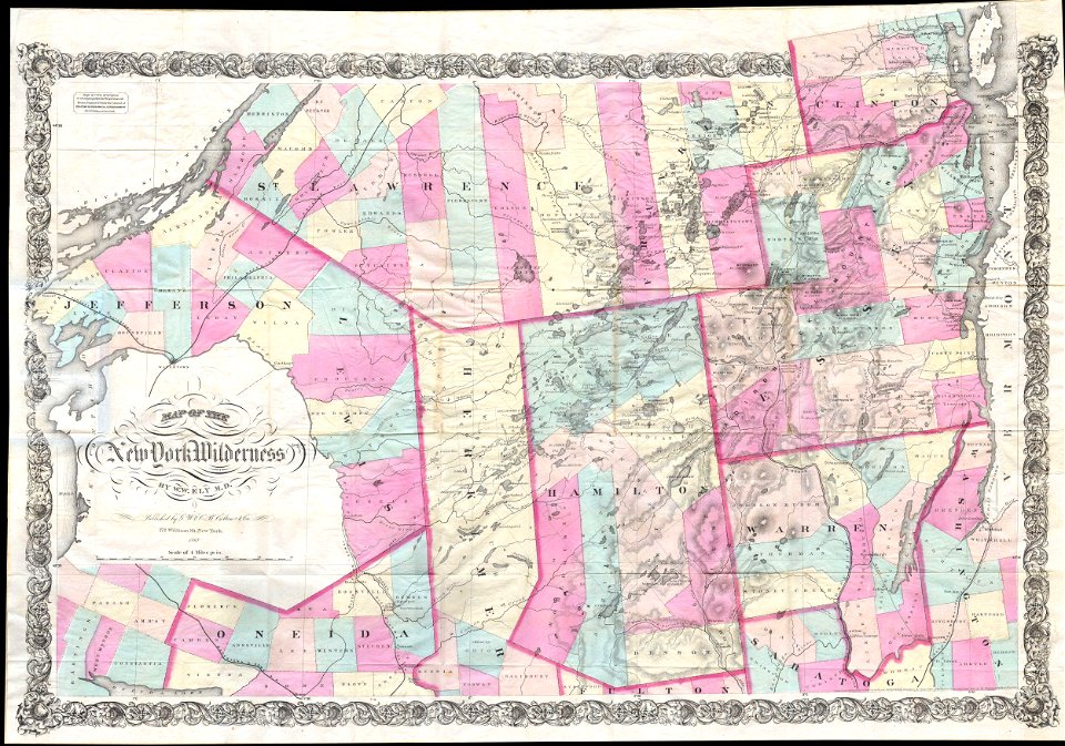
maps by joseph hutchins colton
1867 maps of new york (state)
maps of the adirondack mountains
old maps of new york (state)
old forge
new york
old maps of new hampshire
1908 maps
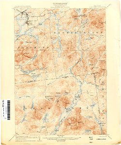
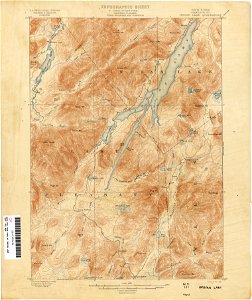
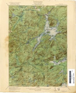
loon lake
new york
old maps of new york (state)
new york
old maps of new hampshire
1908 maps
old maps of new hampshire
1908 maps
old maps of new hampshire
1908 maps
landscape
maps
united states geological survey maps
united states geological survey
old maps of guinea-bissau
old maps of liberia
diagrams of mountains
comparison diagrams
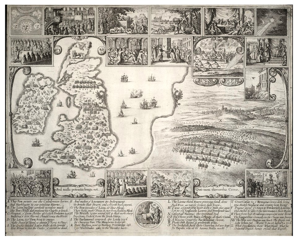
university of toronto wenceslas hollar digital collection
old maps of the british isles
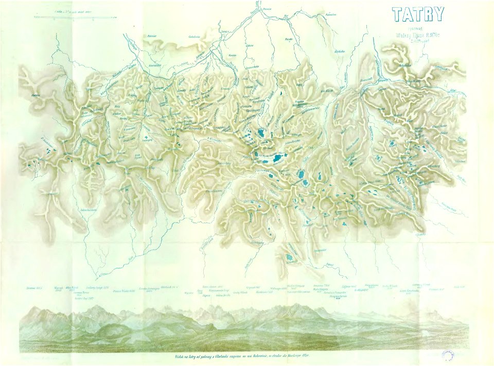
illustrowany przewodnik do tatr
pienin i szczawnic
illustrations de l'histoire de la nouvelle france d'eugène guénin
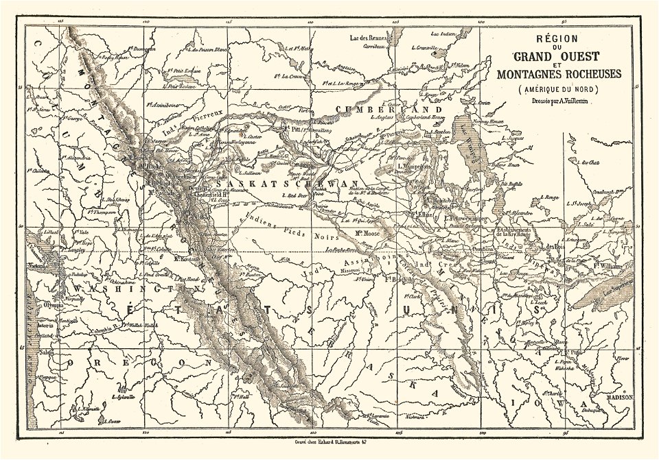
maps of the rocky mountains
19th-century maps of the malay archipelago
19th-century maps of southeast asia
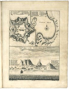
old maps of cape town
1745
old constellation maps
maps by samuel dunn
maps indicating exploration
pamir mountains
maps indicating exploration
pamir mountains
maps indicating exploration
pamir mountains
19th-century maps of southeast asia
aristide-michel perrot
maps from the earth and its inhabitants, vol. vi
tian shan
maps from the earth and its inhabitants, vol. vi
tian shan
borders of andorra-france
maps of borders of spain
maps of saguaro national park
oro valley
maps by jodocus hondius
old maps of virginia
danubius pannonico-mysicus
1720s maps of transylvania
pamir mountains
hindu kush
pamir mountains
hindu kush
maps from the earth and its inhabitants, vol. vi
tian shan
danubius pannonico-mysicus
1726 books
old maps of the new kingdom of granada
17th-century maps of guyana
17th-century maps of the strait of magellan
maps by nicolas sanson
maps in the british museum
maps facing southeast
danubius pannonico-mysicus
1720s maps of transylvania
historical images of chamonix
maps of glaciers
1800s maps of the world
old maps of the world
maps from the earth and its inhabitants, vol. xii
africa in the 1890s
maps from the earth and its inhabitants, vol. vi
georgia in the 1890s
maps from the earth and its inhabitants, vol. xiii
africa in the 1890s
18th-century maps of north america
1708 maps of north america
maps of the ural mountains
russia (1913)
maps from the earth and its inhabitants, vol. xi
africa in the 1890s
maps from the earth and its inhabitants, vol. xi
africa in the 1890s
16th-century maps of the persian gulf
maps of the gulf of suez
maps of mountains of cantal
cartes de franz schrader
18th-century maps of the strait of magellan
1700s maps of argentina
map collection of leibniz-institut für länderkunde
1603 in art
maps from the earth and its inhabitants, vol. xi
africa in the 1890s
bologna ptolemy
1477 maps
maps from the earth and its inhabitants, vol. vi
ferdinand von richthofen
1830s maps of switzerland
1834 maps of europe
maps from the earth and its inhabitants, vol. vi
1891 maps of georgia
mountains and lakes in cumberland and westmoreland (1808)
maps in the british museum
17th-century maps of south america
maps by nicolas sanson
mountains and lakes in cumberland and westmoreland (1808)
maps in the british museum
maps from the earth and its inhabitants, vol. xvii
maps of u.s. water resource subbasins
1777 maps of new york (state)
1777 maps of new jersey
alay mountains
alay district
alay mountains
alay district
1 - 100 of 280
Next page
/ 3


![Bankoku Jinbutsu no Dzu [Picture of the World and its People] (1825) by Imakajiyamachi Eijudo.](https://cdn.creazilla.com/illustrations/1953419/bankoku-jinbutsu-no-dzu-picture-of-the-world-and-its-people-1825-by-imakajiyamac-sm.jpeg)


![Map of Paraguay, Chile, and Strait of Magellan - Guillaume de L'Isle, [1703-1708]](https://cdn.creazilla.com/illustrations/10001534848/map-of-paraguay-chile-and-strait-of-magellan-guillaume-de-lisle-1703-1708-md.jpg)


![Map 12 [Tabula 12], 1477](https://cdn.creazilla.com/illustrations/10000439389/map-12-tabula-12-1477-sm.webp)


