Log in
All resources
Create a design
26,489 Free Artworks of Map
baroque
engravings of topographia braunschweig lüneburg
bibliothèque nationale de france
description de l'universe
alain manesson mallet
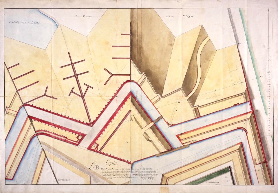
old maps of delfland
nicolaas samuel crucquius
atlas novus (blaeu)
a school geography (1898) by bird
matthäus merian
trädlärkan 9, ritningar
topographia braunschweig lüneburg (merian)
baroque
engravings of topographia braunschweig lüneburg
baroque
engravings of topographia braunschweig lüneburg
baroque
engravings of topographia braunschweig lüneburg
baroque
engravings of topographia braunschweig lüneburg
baroque
topographia braunschweig lüneburg (merian)
baroque
engravings of topographia braunschweig lüneburg
baroque
villa comunale (naples) in art
baroque
engravings of topographia braunschweig lüneburg
baroque
engravings of topographia braunschweig lüneburg
baroque
engravings of topographia braunschweig lüneburg
baroque
engravings of topographia braunschweig lüneburg
baroque
engravings of topographia braunschweig lüneburg
baroque
engravings of topographia braunschweig lüneburg
baroque
engravings of topographia braunschweig lüneburg
baroque
john berney ladbrooke
1830 lithographs
prints of cartouches in the rijksmuseum amsterdam
maps in the rijksmuseum amsterdam
old hemisphere world maps (partner files)
arnold's geographical handbook (1899)
a school geography (1898) by bird
cork harbour
17th-century double hemisphere world maps
description de l'universe
synopsis universae philologiae
1741 maps of asia
a school geography (1898) by bird
old maps of french polynesia
old maps of dublin
dublin bay
maps of the hague by braun & hogenberg
the hague in the 1740s
1949 stamps of the german bizone
males on stamps
eran laor cartographic collection
claes jansz. visscher (ii)
walls of olivenza, badajoz
maps of olivenza
bourbonnais in the 17th century
pierre mariette i
british library - off the map alice collection - wonderland
british library - off the map alice collection
sanson maps of north america
island of california
drawings by johan frederik clemens in the statens museum for kunst
brush and gray wash
maps of the dutch east india company - sri lanka
1787
maps of the west-indische compagnie
1665
coats of arms verteidigungsbezirkskommandos (bundeswehr)
hermannsdenkmal
moïse-jean-baptiste fouard
corsair wars
aōdō denzen
nicolaas samuel crucquius
old maps of delfland
nicolaas samuel crucquius
old maps of delfland
nicolaas samuel crucquius
old maps of delfland
maps of bruges by braun & hogenberg
merian mainz trier köln
baroque
gemeente atlas van nederland - gelderland
maps of doorwerth
old maps of zutphen
atlas van loon
nicolaas samuel crucquius
old maps of delfland
maps of burgos by braun & hogenberg
castillo de burgos
maps by pieter mortier
maps from gallica
everett d. graff collection of western americana
maps by g. w. & c. b. colton & co.
watercolor drawings by johannes vingboons
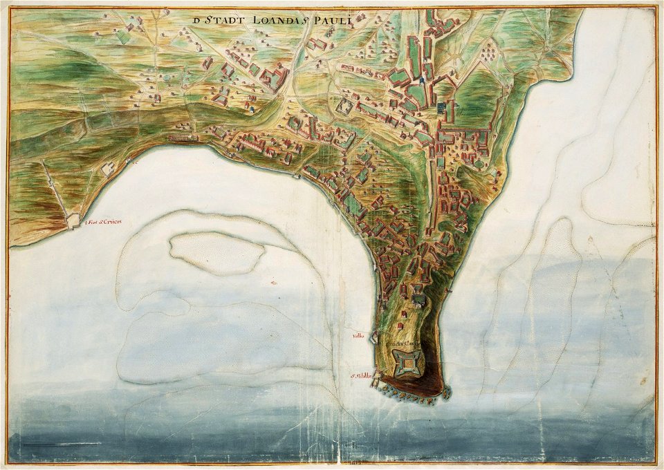
old maps of luanda
engravings of topographia braunschweig lüneburg
baroque
details of sigismund's map of moscow
17th-century people of russia
early netherlandish painting,northern renaissance
the garden of earthly delights, closed
coats of arms on maps
atlas novus (blaeu)
atlas novus (blaeu)
old maps of swabia
merian hassiae
baroque
maps of wiflisburgergau by gerardus mercator
atlas novus (blaeu)
maps of munich by joris hoefnagel
joris hoefnagel
1640s maps of baden-württemberg
atlas novus (blaeu)
history of hauptmarkt (nürnberg)
neptunbrunnen (nürnberg)
maps in the stadsarchief amsterdam
hendrik de leth
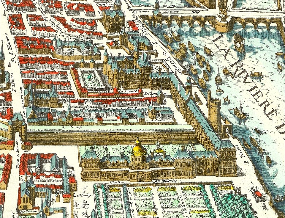
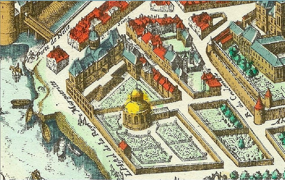
palais des tuileries before 1659
baroque
nicolaas samuel crucquius
old maps of delfland
maps of hardenberg
avereest
merian mainz trier köln
baroque
merian plan of paris - derivative files
baroque
maps in the rijksmuseum amsterdam
17th-century celestial maps
maps from university of amsterdam special collections
atlas der neederlanden
new york state supreme court 60 centre street
bromley maps of manhattan published in 1911
maps from university of amsterdam special collections
atlas der neederlanden
maps of the byzantine levant
1650s maps showing history
maps of exeter by braun & hogenberg
floyer hayes, exeter
geographia universalis (1545) in the british museum
german renaissance,northern renaissance
de praecipvis totivs vniversi vrbibvs, liber secvndvs (1575)
maps of orléans by joris hoefnagel
maps of ancient israel by philippe de la rué
old maps of the tribes of israel
maps of exeter by braun & hogenberg
floyer hayes, exeter
17th-century maps of the strait of magellan
1640 maps of south america
li ch'ing-chao (crater)
sadī (crater)
description de l'universe
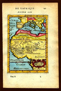
1683 maps of africa
bruxella nobilissima brabantiae civitas an° 1640
nicolaas van der horst
map of amsterdam by julius milheuser after daniël stalpaert, 1662
julius milheuser
description de l'universe
1680s maps of africa
cavite e santiago (1898)
1898 maps of cuba
ghosts & ghoulish scenes
1890s maps of the atlantic ocean
cavite e santiago (1898)
cavite e santiago (1898)
1898 maps of cuba
description de l'universe
old maps of valletta
description de l'universe
spitsbergen
parts of old maps of bremen
bremen in the 1600s
1720s maps of palestine
nicolas de fer
sanson maps of the netherlands
1670s maps of belgium
engravings by matthäus merian
baroque
old maps of chania
1651 in chania
map of maastricht by willem and johannes blaeu (1649)
sint-antoniuseiland (maastricht)
merian sueviae
baroque
maps from the earth and its inhabitants, vol. vii
maps by willem and johannes blaeu
old maps of malta
wanderings, south and east (1882)
1882 maps of the world
scripture sites and scenes, from actual survey (1849)
mount serbal
description des principales villes (1690)
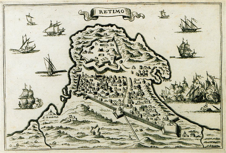
maps of rethymno
atlas maior, vol 3 (germany) - joan blaeu, 1667 - bl 114.h(star).3
copper engraving print
14301 - 14400 of 26,489
Next page
/ 265