Log in
All resources
Create a design
34 Free Artworks of Islands In The Mississippi River
carte du mexique et de la floride by guillaume delisle (1703)
island number ten
american civil war in 1862
frank leslie
university of washington
henri lovie
curt teich postcard archives, detroit publishing company
alexander simplot
covens en mortier
philippe buache
1805 maps of the united states
maps by john cary
old constellation maps
maps by samuel dunn
1862 in kentucky
1862 engravings
curt teich postcard archives, detroit publishing company
postcards of rock island county, illinois
prints in the missouri history museum
harper's weekly, 1862
frank leslie's illustrated newspaper, 1862
henri lovie
curt teich postcard archives, detroit publishing company
postcards of saint paul, minnesota
curt teich postcard archives, detroit publishing company
postcards of rock island county, illinois
18th-century maps of north america
1708 maps of north america
frank leslie's scenes and portraits of the civil war (1894)
uss mississippi (ship, 1841)
chicago and the midwest, newberry library
old maps of the mississippi river
harper's weekly, 1862
alexander simplot
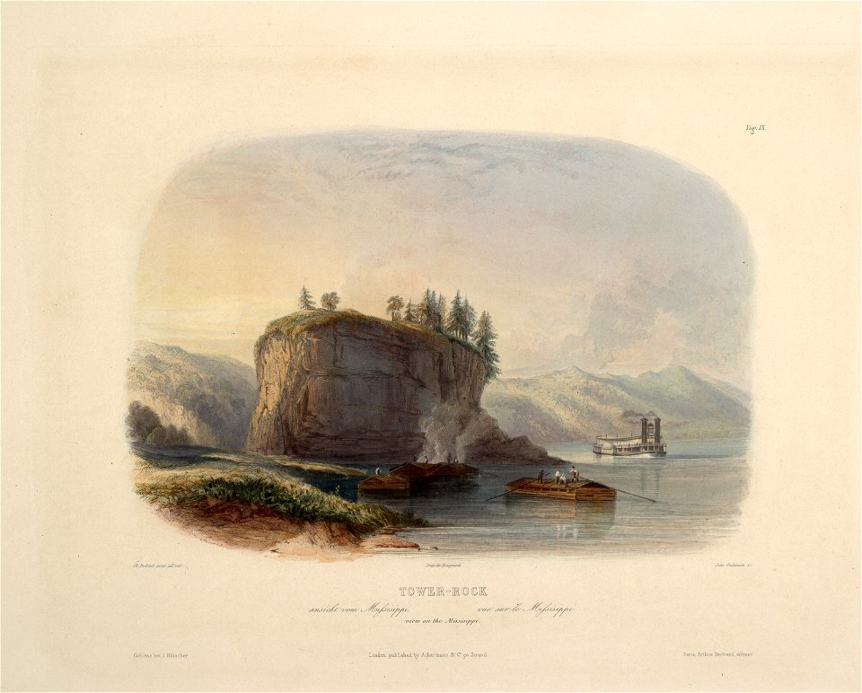
works after karl bodmer
barbizon school
caribbean maps in leiden university library
files uploaded at wiki techstorm 2019
caribbean maps in leiden university library
files uploaded at wiki techstorm 2019
carte du mexique et de la floride by guillaume delisle (1703)
french-language maps of mexico
carte du mexique et de la floride by guillaume delisle (1703)
bibliothèque nationale de france
naval ships of the confederate states of america
samuel sartain
camp-fire and cotton-field- southern adventure in time of war. life with the union armies, and residence on a louisiana plantation (1865)
1865 books
1690s maps of the caribbean
1690s maps of the americas
carte du mexique et de la floride by guillaume delisle (1703)
bibliothèque nationale de france
1740s maps of the caribbean
daniel de la feuille
frank leslie's scenes and portraits of the civil war (1894)
henri lovie
lawrence h. slaughter collection of english maps, charts, globes, books and atlases
nypl lionel pincus and princess firyal map division
media contributed by university of illinois urbana-champaign university library
carte du mexique et de la floride by guillaume delisle (1703)
lawrence h. slaughter collection of english maps, charts, globes, books and atlases
covens en mortier
1740s maps of the americas
1747 maps of north america
1800s maps of the americas
maps by john cary
1779 maps of the united states
1770s maps of the caribbean
carte de barbarie, nigritie, guinée par guillaume delisle (1707)
university of washington
1696 maps of the caribbean
1690s maps of mexico
carte des côtes de malabar et de coromandel (1723)
philippe buache
cartouches by guillaume delisle
philippe buache
carte de l'isle de ceylan by guillaume delisle (1722)
philippe buache
1 - 34 of 34
/ 1