Log in
All resources
Create a design
32 Free Artworks of Forts In North Carolina
francis h. schell
battles and leaders of the civil war (1887)
american civil war in 1861
frank leslie
siege of fort macon
battle of hatteras inlet
frank vizetelly (war correspondent)
battle of roanoke island
maps by john cary
cherokee maps
1805 maps of the united states
maps by john cary
works by julian oliver davidson
siege of fort fisher
algonquian peoples
roanoke colony
new bern, north carolina
solon m. allis
clean-shaven faces
arthur dobbs
19th-century paintings of naval battles
xanthus smith
battles and leaders of the civil war (1887)
siege of fort macon
frank leslie's illustrated newspaper, 1865
carl joseph becker
postcards of restaurants in north carolina
u.s. route 17 in north carolina
battles and leaders of the civil war (1887)
battle of new berne (1862)
battles and leaders of the civil war (1887)
siege of fort macon
illustrations by alfred waud
new york illustrated news
battles and leaders of the civil war (1887)
siege of fort macon
1747 maps of north carolina
maps by emanuel bowen
frank leslie's illustrated newspaper, 1861
american civil war in 1861
black and white photographs in the 1860s
19th-century cannons
black and white photographs in the 1860s
19th-century cannons
media contributed by rockingham community college
1861 in north carolina
internet archive document soldierinourcivi01lesl
the soldier in our civil war - navy
the illustrated london news 1862
richard principal leitch
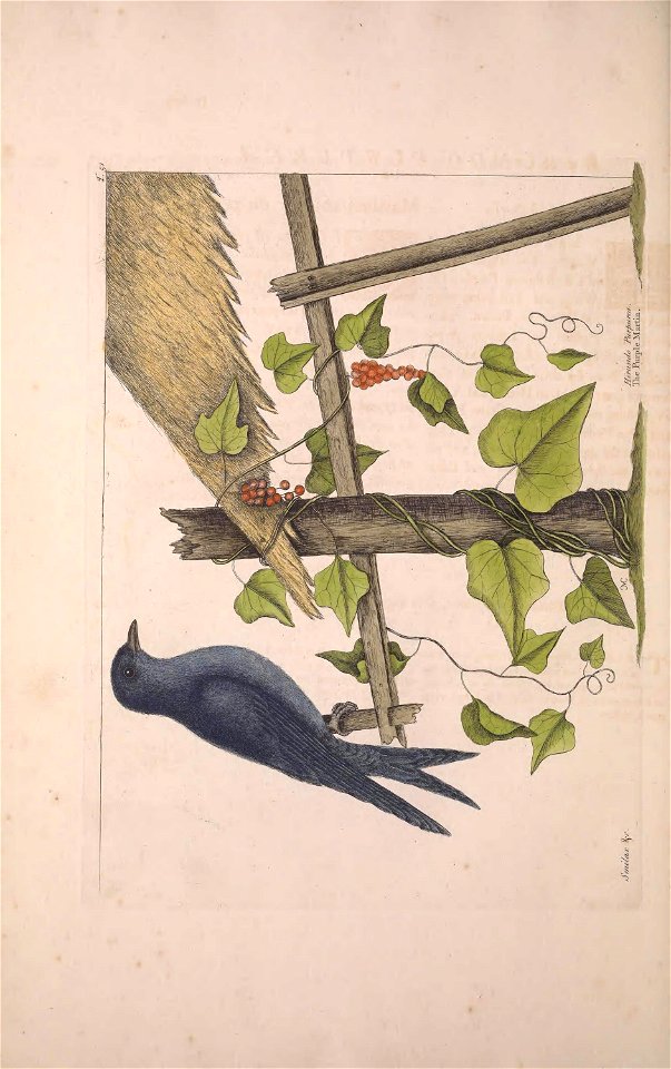
plants
bird
frank leslie's illustrated newspaper, 1864
frank leslie
19th-century unidentified engravers
the illustrated london news 1862
old maps of st. augustine, florida
john white (colonist and artist)
19th-century unidentified engravers
the illustrated london news 1861
frank leslie's illustrated newspaper, 1865
frank leslie
bahamas
botany
frank leslie's illustrated newspaper, 1862
prints in the missouri history museum
picturesque america; or, the land we live in (1872)
fort adams (rhode island)
maps in the library of congress
1777 maps
1803 maps of the caribbean
maps by john cary
1779 maps of the united states
1770s maps of the caribbean
1 - 32 of 32
/ 1