Log in
All resources
Create a design
52 Free Artworks of 19th Century Maps Of Asia
david rumsey historical map collection
jr
william darton
19th-century maps of southeast asia
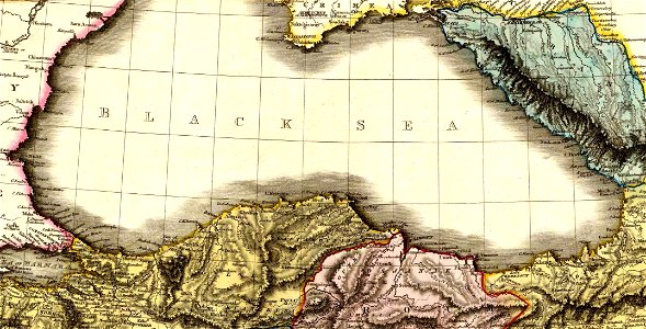
19th-century maps of the black sea
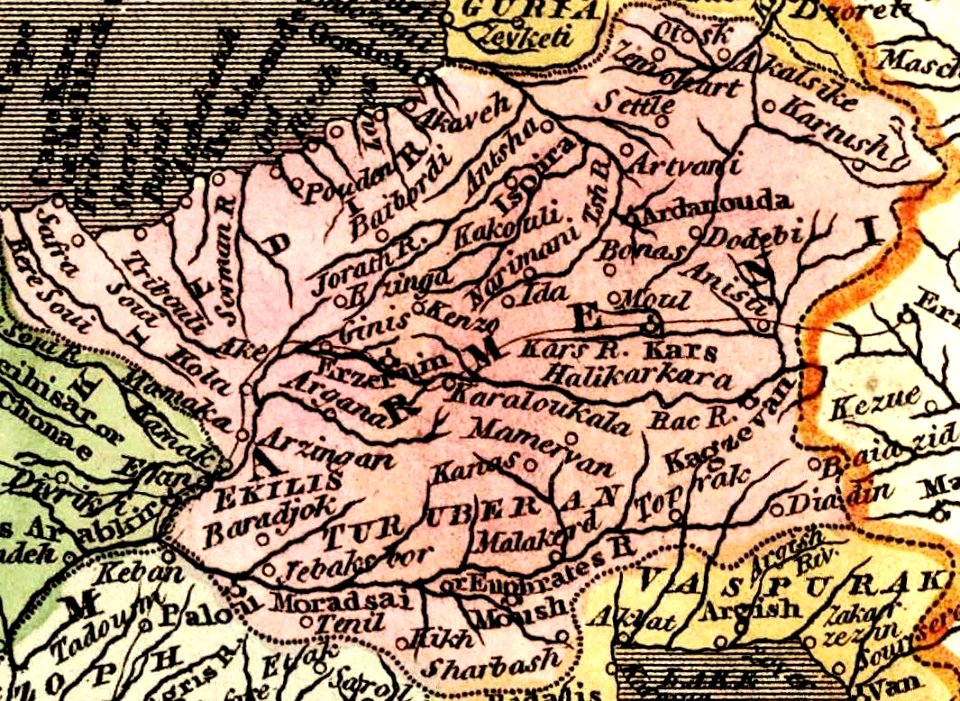
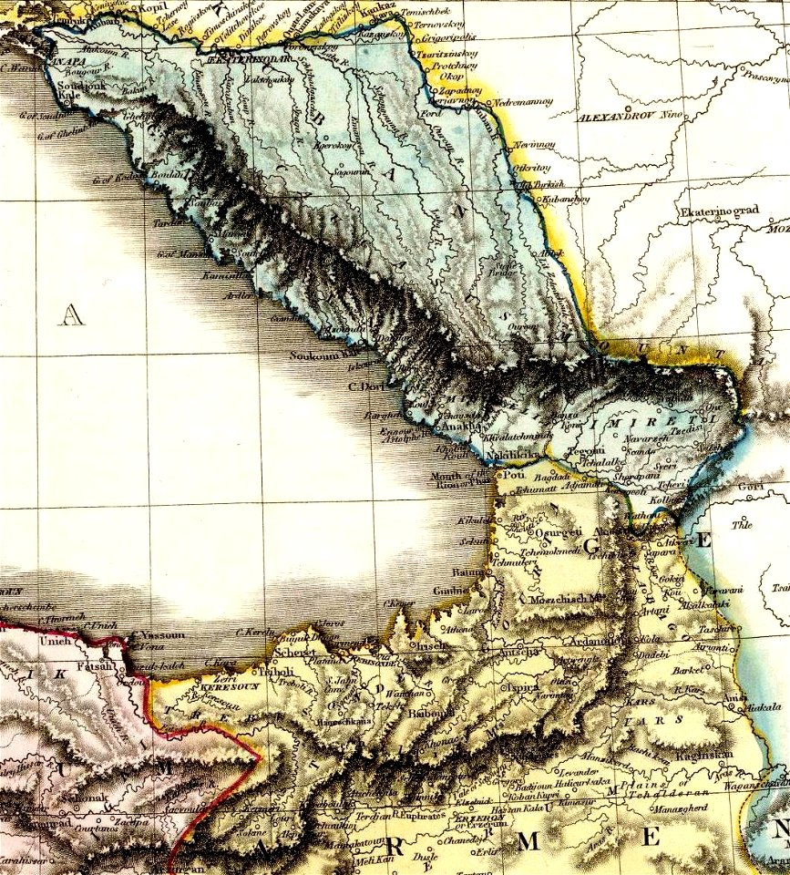
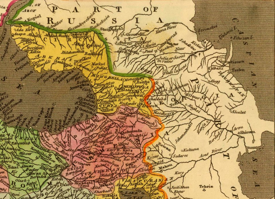
19th-century maps of the caucasus
maps by john pinkerton
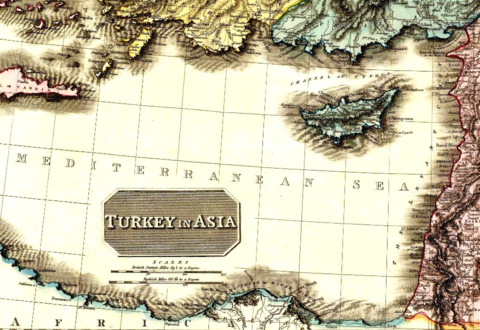
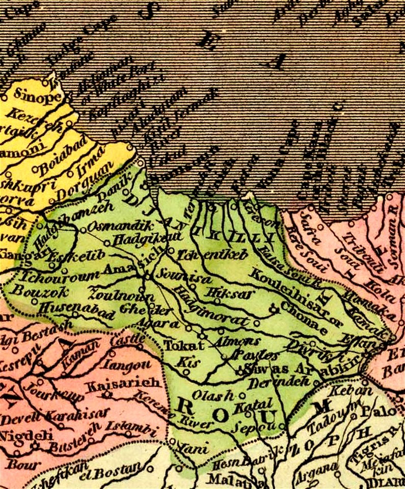
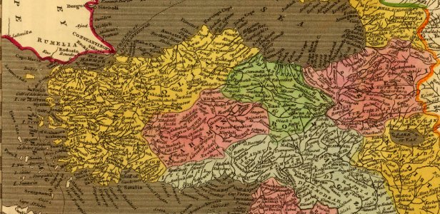
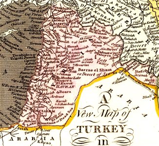
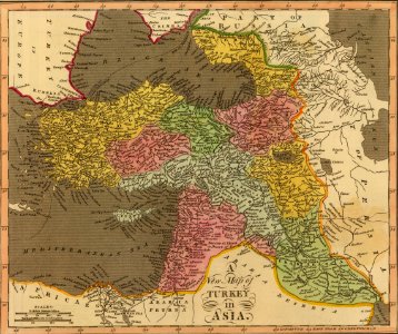
old maps of turkey
maps by john cary
john cary
maps from the earth and its inhabitants, vol. vi
russia in the 19th century
maps from the earth and its inhabitants, vol. vi
charles eugène perron
19th-century maps of the malay archipelago
19th-century maps of southeast asia
maps in the library of congress
old maps of korea
david rumsey historical map collection
1813 maps
19th-century maps of the mediterranean sea
david rumsey historical map collection
david rumsey historical map collection
jr
david rumsey historical map collection
jr
david rumsey historical map collection
jr
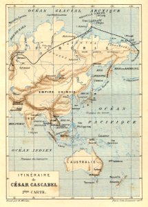
volume 7 of le tour du monde
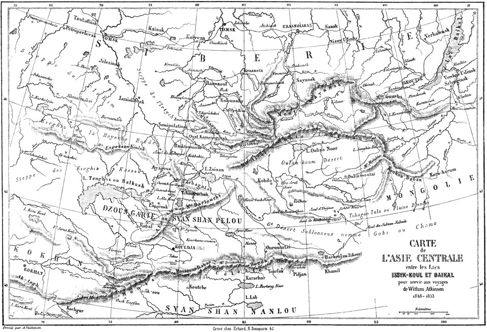
maps of central asia
19th-century maps of taiwan
old maps of korea
david rumsey historical map collection
jr
illustrations from césar cascabel by george roux
césar cascabel
old maps of the middle east
jr
david rumsey historical map collection
jr
david rumsey historical map collection
19th-century maps of the black sea
david rumsey historical map collection
old maps of samegrelo
old maps of the middle east
jr
david rumsey historical map collection
jr
old maps of the middle east
jr
david rumsey historical map collection
old maps of the russian empire
david rumsey historical map collection
old maps of the caspian sea
old maps of greece
old maps of turkey
david rumsey historical map collection
jr
david rumsey historical map collection
jr
don in rostov oblast
novocherkassk
old maps of ladakh
qinghai lake
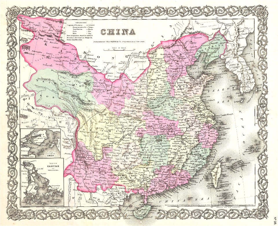
19th-century maps of china
richard jarman
maps showing 19th-century history
19th-century maps of south asia
russian geographical society
stamps of russia, 2020
19th-century maps of southeast asia
aristide-michel perrot
maps showing 19th-century history
isaiah thomas (publisher)
illustrations from claudius bombarnac by léon benett
1890s maps of china
maps by daniel lizars
1820 maps of asia
english-language maps of asia
maps by john cary
constantinople - and the scenery of the seven churches of asia minor (1839)
1830s maps of turkey
picturesque burma, past and present (1897)
1890s maps showing history
maps from the earth and its inhabitants, vol. ix
ethnographic maps of asia
constantinople and the scenery of the seven churches of asia minor illustrated (1836-38)
1830s maps of turkey
19th-century maps of the malay archipelago
the cruise of the marchesa (1889)
russo-turkish war (1877–1878) in art
great eastern crisis (1875–78)
constantinople and the scenery of the seven churches of asia minor illustrated (1836-38)
19th-century maps of the mediterranean sea
english-language maps
maps by john cary
maps by john cary
1801 maps
maps from the earth and its inhabitants, vol. vii
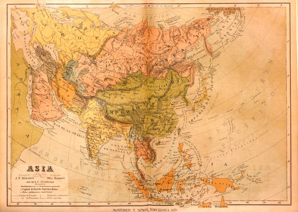
1878 maps of asia
picturesque burma, past and present (1897)
1890s maps showing history
picturesque burma, past and present (1897)
1890s maps showing history
picturesque burma, past and present (1897)
1890s maps showing history
maps of saint paul's journeys
maps by thomas starling
maps by john cary
1801 maps
géographie générale; physique, politique et économique (1876)
19th-century maps of southeast asia
travel
maps
1 - 52 of 52
/ 1