Log in
All resources
Create a design
18 Free Artworks of 17th Century Maps Of Norway
cartography
engraving
noruega
chalcography
grabados
libros del siglo xvii
fondo antiguo
calcografía
cartografía
17th century books
the voyage of the vega round asia and europe
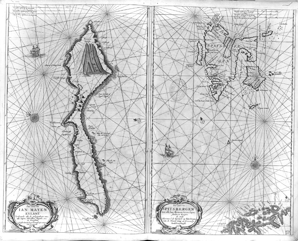
third voyage of willem barentsz
maps by willem and johannes blaeu
copper engraving
nicolaes visscher ii
abraham goos
historical coats of arms of denmark
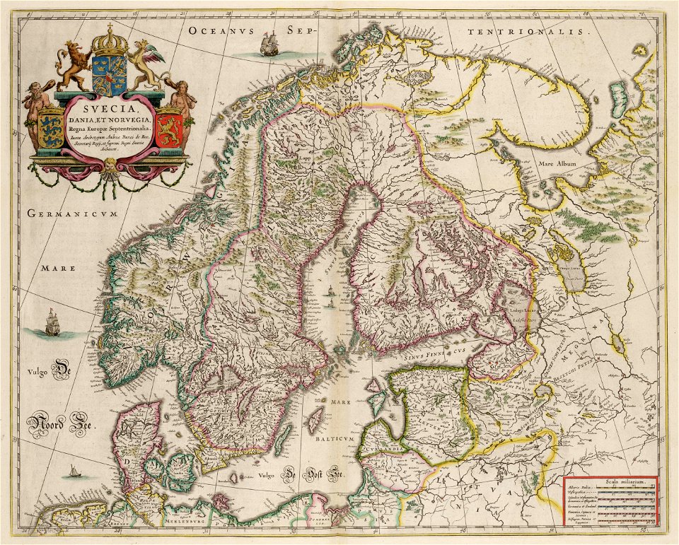
royal coats of arms of sweden
maps made in the 17th century
cornelis danckerts (i)
atlantis magni tomus primus (biblioteca comunale di trento)
maps made in the 17th century
atlantis magni tomus primus (biblioteca comunale di trento)
maps made in the 17th century
historical coats of arms of denmark
ships on maps
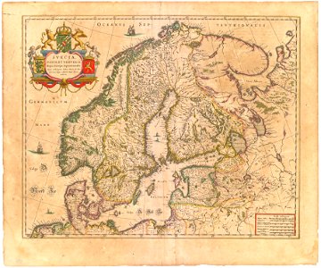
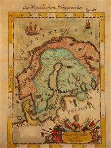
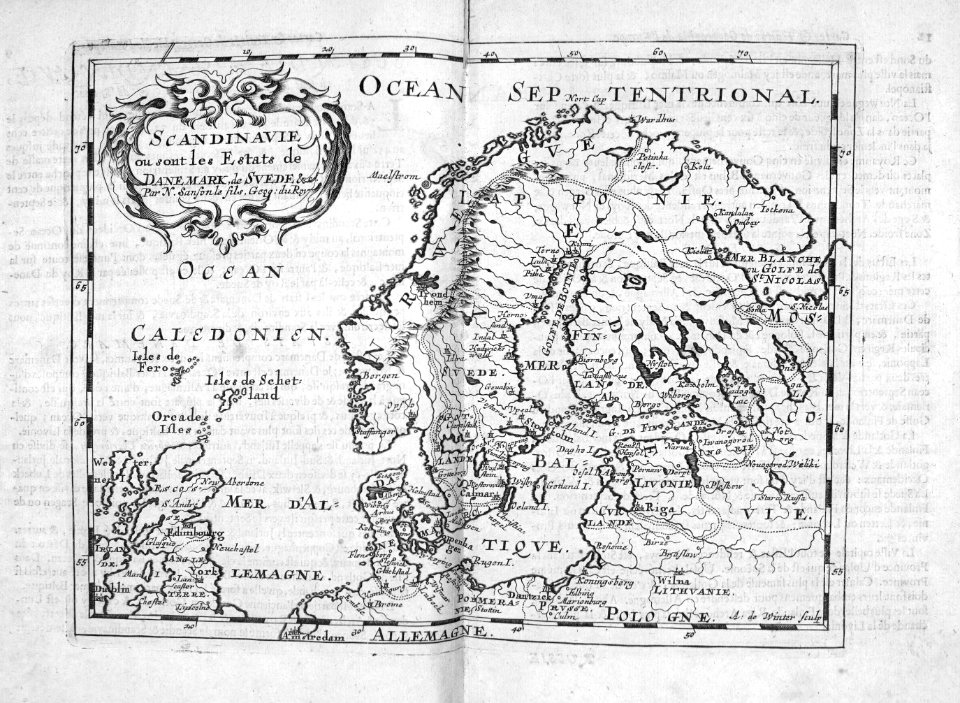
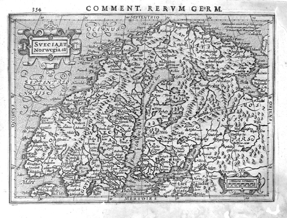
17th-century maps of sweden
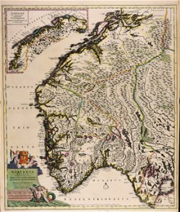
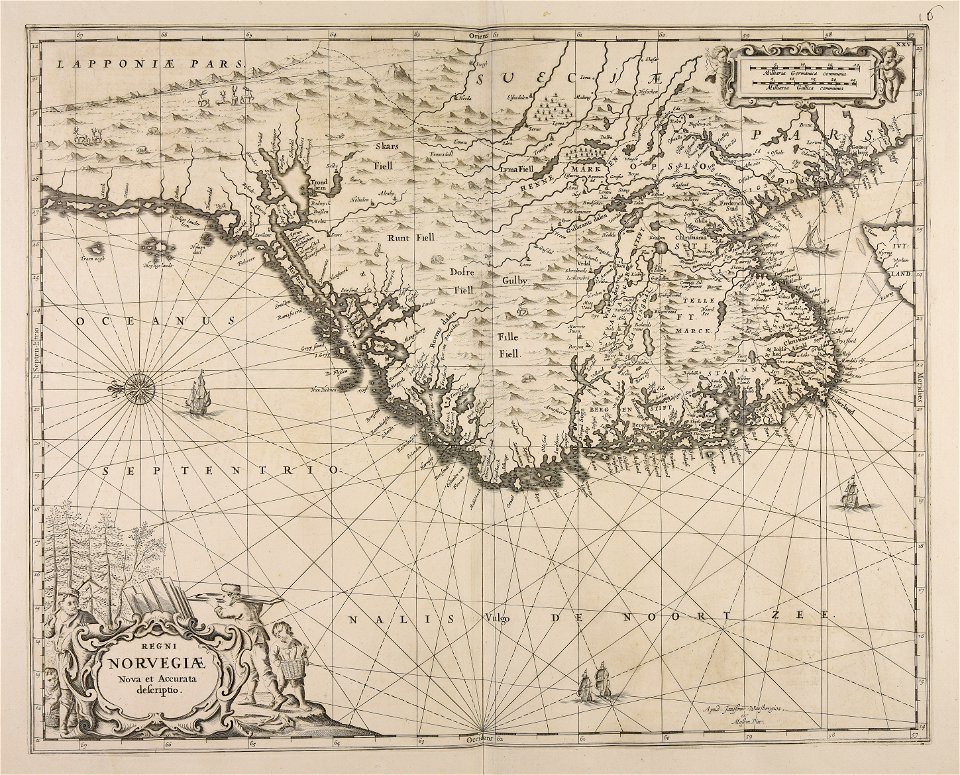
1660s maps of norway
17th-century maps of finland
1680s maps of norway
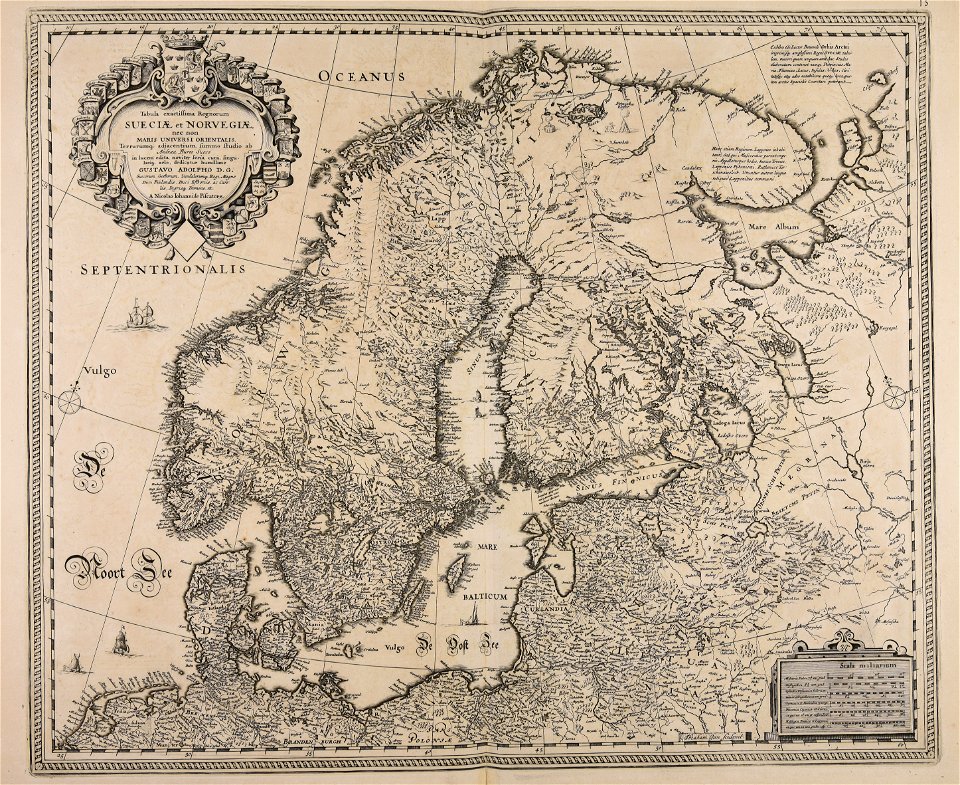
atlas maior, vol 1 (northern europe, norway, and denmark) - joan blaeu, 1667 - bl 114.h(star).1
1667 maps
atlas maior, vol 1 (northern europe, norway, and denmark) - joan blaeu, 1667 - bl 114.h(star).1
17th-century double hemisphere world maps
atlas maior, vol 1 (northern europe, norway, and denmark) - joan blaeu, 1667 - bl 114.h(star).1
17th-century maps of iceland
cartography
maps
cartography
maps
cartography
maps
cartography
maps
cartography
maps
1 - 18 of 18
/ 1