Log in
All resources
Create a design
12 Free Artworks of 17th Century Maps Of Frankfurt Am Main
collotype print
watercolor
private collection mylius
carl theodor reiffenstein
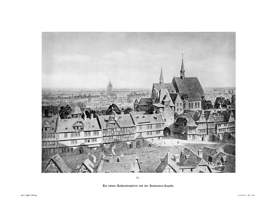
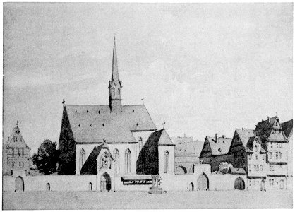
katharinenpforte
maps by willem and johannes blaeu
baroque
matthäus merian
template unknown (unspecified)
frankfurt am main, die freie stadt, in bauwerken und straßenbildern.
frankfurt am main, die freie stadt, in bauwerken und straßenbildern.
template unknown (unspecified)
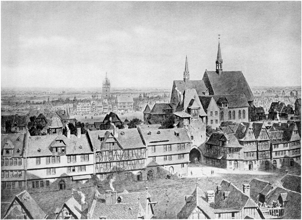
crops from frankfurt am main, die freie stadt, in bauwerken und straßenbildern.
template unknown (unspecified)
17th-century maps of frankfurt am main
maps by willem and johannes blaeu
city walls of frankfurt am main
baroque
maps by willem and johannes blaeu
coats of arms on maps
17th-century maps of frankfurt am main
maps by willem and johannes blaeu
merian hassiae
baroque
crops from frankfurt am main, die freie stadt, in bauwerken und straßenbildern.
töngesgasse
frankfurt am main, die freie stadt, in bauwerken und straßenbildern.
töngesgasse
buda in the 17th century
baroque
sconces in north rhine-westphalia
rheinberg in the 1650s
etchings in the rijksmuseum amsterdam
maps in the rijksmuseum amsterdam
1 - 12 of 12
/ 1