Log in
All resources
Create a design
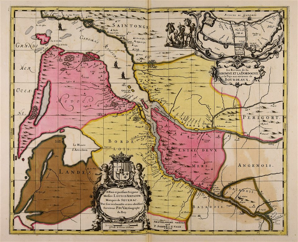
6 Free Artworks of 17th Century Maps Of Bordeaux
gerard valck
maps by pieter schenk (i)
atlantis magni tomus quartus (biblioteca comunale di trento)
claude perrault
pierre i lepautre
engravings of piliers de tutelle
1669 in bordeaux
1669 works in france
17th-century engravings from france
17th-century engravings of buildings
maps made in the 17th century
gerard valck
pierre i lepautre
claude perrault
pierre i lepautre
claude perrault
17th-century maps of bordeaux
17th-century maps of dordogne
françois de la pointe
1620s maps of france
cartography
maps
1 - 6 of 6
/ 1