Log in
All resources
Create a design
857 Free Images of Sculpting
bibliothèque nationale de france
chorographia britanniae (1741-1742)
paper
british museum
lithographs in the british museum
olivier de gand
fernão muñoz
estátuas da charola, convento de cristo
16th-century statues in portugal
carved wood and polychromy
régie des chemins de fer des territoires occupés
émile de ruaz
lithographs in the british museum
lemercier & cie.
lithographs in the british museum
adrien dauzats
map of the circle of the rhineland by sanson
1730s maps of rhineland-palatinate
map of the upper rhenian circle by sanson
1690s maps of hesse
map of the circle of the rhineland by sanson
1700s maps of rhineland-palatinate
olivier de gand
fernão muñoz
joseph collyer
neoclassicism
olivier de gand
fernão muñoz
lithographs in the british museum
robert melville grindlay
drawings in the stadsarchief amsterdam
drawings by gerrit lamberts
collection drawings and prints from het utrechts archief
pieter van loon
sculpture
stones
olivier de gand
fernão muñoz
olivier de gand
fernão muñoz
olivier de gand
fernão muñoz
olivier de gand
fernão muñoz
pile et face - archives municipales de toulouse
orientalism
carte de barbarie, nigritie, guinée par guillaume delisle (1707)
bibliothèque nationale de france
statue equestre de louis le bien aimé erigée le 14 février 1763 - le charpentier sculpsit ; de seve delinaevit - btv1b53181657s
bibliothèque nationale de france
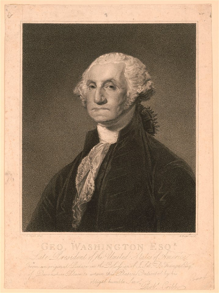
william nutter
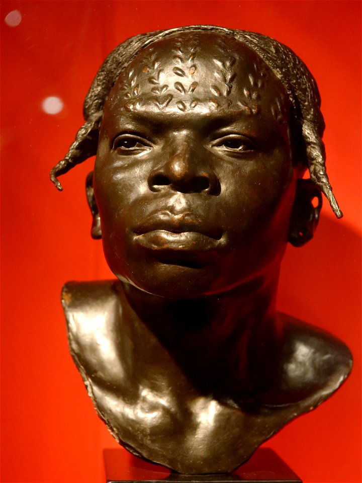
indigène aruimi par herbert ward
bronze
lithographs in the british museum
johann heinrich ramberg
capriccios by giovanni paolo pannini
baroque
lithographs in the british museum
william gawin herdman
1670s maps of the iberian peninsula
georg widmann
artworks from sörmlands museum
bernhard österman
artworks from sörmlands museum
bernhard österman
map of the upper rhenian circle by sanson
1700s maps of north rhine-westphalia
maps of paris from the open data hauts-de-seine
1710s maps of paris
sculptures in the cincinnati art museum
thomas buchanan read
chorographia britanniae (1741-1742)
18th-century maps of essex
neoclassicism,romanticism,academic art,realism
engravings by theodor aman
lithographs in the british museum
lithographs after agostino aglio
prints, drawings and watercolours of the royal museums greenwich
clorinde (1808)
carte de barbarie, nigritie, guinée par guillaume delisle (1707)
bibliothèque nationale de france
carte de barbarie, nigritie, guinée par guillaume delisle (1707)
bibliothèque nationale de france
pile et face - archives municipales de toulouse
drawings in toulouse
chorographia britanniae (1741-1742)
18th-century maps of wiltshire
lithographs by william rothenstein
lithographs in the british museum
olivier de gand
fernão muñoz
the antiquities of athens, vol. i ch. v
greek revival architecture
olivier de gand
fernão muñoz
illustrations from bulgarian folk crosses
rila monastery
chorographia britanniae (1741-1742)
18th-century maps of sussex
illustrations from bulgarian folk crosses
monuments and memorials in karnobat
maps of the course of the rhine by guillaume sanson
bibliothèque nationale de france
kaart van het nieuwe diep aan de helder - vervaardigtenk in july en augustus 1785, door leendert den berger ; leon.d schenk, jansz. sculpsit - btv1b53102961h
leonard schenk jansz.
bibliothèque nationale de france
guillaume sanson
map of the circle of swabia by sanson
bibliothèque nationale de france
bibliothèque nationale de france
guillaume sanson
bibliothèque nationale de france
sanson maps of asia
kaart van het nieuwe diep aan de helder - vervaardigtenk in july en augustus 1785, door leendert den berger ; leon.d schenk, jansz. sculpsit - btv1b53102961h
leonard schenk jansz.
map of the circle of austria by sanson
1700s maps of austria
lithographs in the british museum
academic art,rococo revival
school or circle of jan van scorel
donor portraits of couples
historical images of penang at penang museum
william daniell
black and white photographs of monuments and memorials
adams memorial
chorographia britanniae (1741-1742)
18th-century maps of cornwall
chorographia britanniae (1741-1742)
18th-century maps of kent
pile et face - archives municipales de toulouse
orientalism
oriental scenery (part 5)
ajgaivinath temple
carte de la mer méditerranée en trois feuilles (dheulland et al.)
18th-century maps of the eastern mediterranean
carte de la mer méditerranée en trois feuilles (dheulland et al.)
old maps of the central mediterranean
carte de barbarie, nigritie, guinée par guillaume delisle (1707)
bibliothèque nationale de france
carte de la mer méditerranée en trois feuilles (dheulland et al.)
18th-century maps of the western mediterranean
carte de barbarie, nigritie, guinée par guillaume delisle (1707)
bibliothèque nationale de france
carte de barbarie, nigritie, guinée par guillaume delisle (1707)
bibliothèque nationale de france
bibliothèque nationale de france
1698 map of evesché de meaux
carte de la mer méditerranée en trois feuilles (dheulland et al.)
old maps of the central mediterranean
chorographia britanniae (1741-1742)
18th-century maps of westmorland
chorographia britanniae (1741-1742)
18th-century maps of monmouthshire
le lyon de nos pères (vingtrinier, drevet, 1901) from numelyo
le lyon de nos pères (vingtrinier, drevet, 1901)
chorographia britanniae (1741-1742)
18th-century maps of lancashire
flemish prints in the british museum
baroque
chorographia britanniae (1741-1742)
18th-century maps of northumberland
flemish prints in the british museum
baroque
18th-century maps of huntingdonshire
chorographia britanniae (1741-1742)
18th-century maps of nottinghamshire
chorographia britanniae (1741-1742)
chorographia britanniae (1741-1742)
18th-century maps of cambridgeshire
chorographia britanniae (1741-1742)
18th-century maps of middlesex
chorographia britanniae (1741-1742)
18th-century maps of cumberland
sagamore hill national historic site
bronze objects
broadsheet prints from koninklijke bibliotheek - portraits
broadsheet prints from koninklijke bibliotheek
william bromley (engraver)
popular graphic arts
maps from university of amsterdam special collections
atlas der neederlanden
vignettes by loutherbourg for the macklin bible
gospel of john
photographs by olof sörling
västerås domkyrka
sculptures of louis philippe i by james pradier
sculptures in the toledo museum of art
chorographia britanniae (1741-1742)
18th-century maps of hampshire
chorographia britanniae (1741-1742)
18th-century maps of rutland
chorographia britanniae (1741-1742)
18th-century maps of suffolk
chorographia britanniae (1741-1742)
18th-century maps of yorkshire
chorographia britanniae (1741-1742)
18th-century maps of staffordshire
chorographia britanniae (1741-1742)
18th-century maps of lincolnshire
18th-century maps of norfolk, england
chorographia britanniae (1741-1742)
18th-century maps of herefordshire
old county maps of herefordshire
chorographia britanniae (1741-1742)
18th-century maps of dorset
chorographia britanniae (1741-1742)
18th-century maps of hertfordshire
chorographia britanniae (1741-1742)
18th-century maps of warwickshire
501 - 600 of 857
Next page
/ 9