Log in
All resources
Create a design
31 Free Images of Old Maps Of Groningen (city)
history
historical
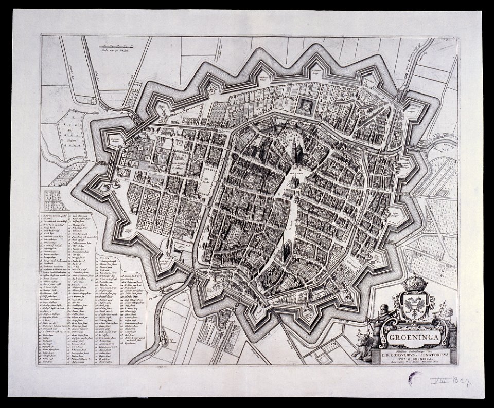
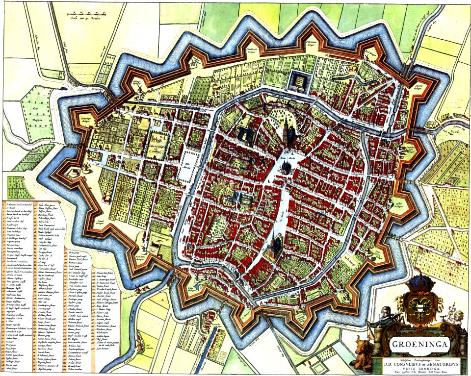
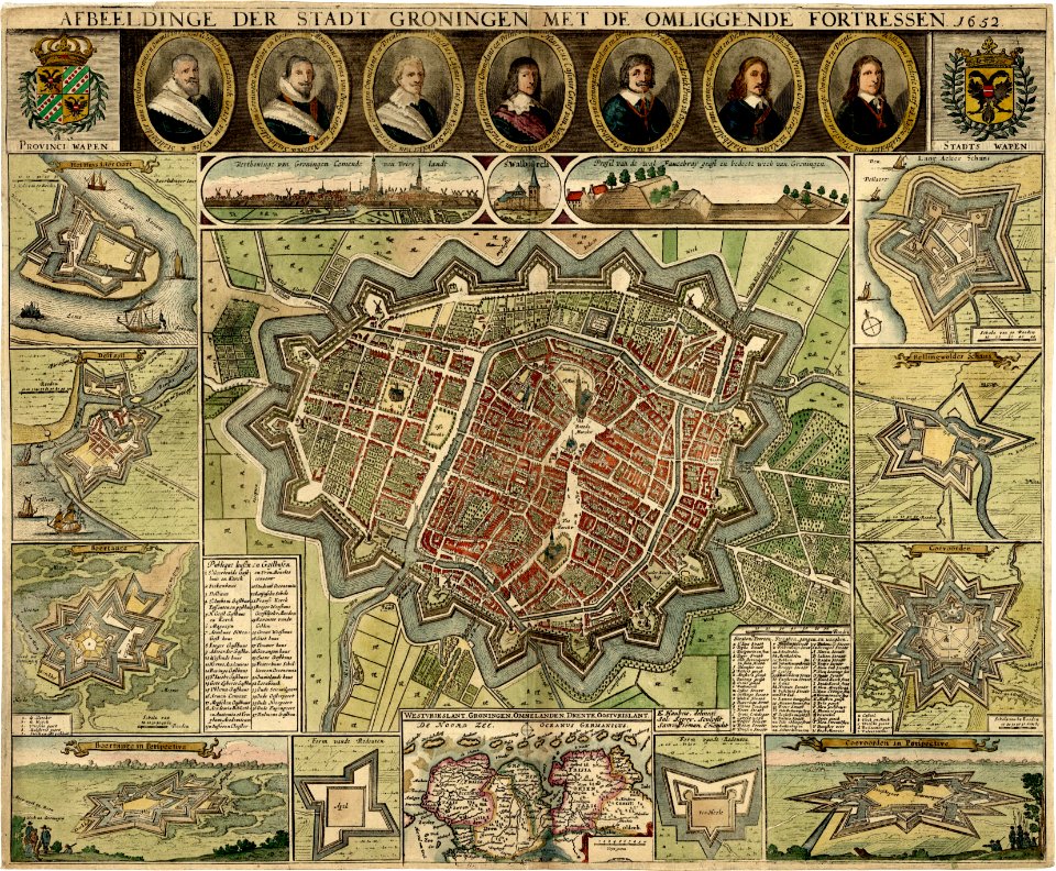
maps by willem and johannes blaeu
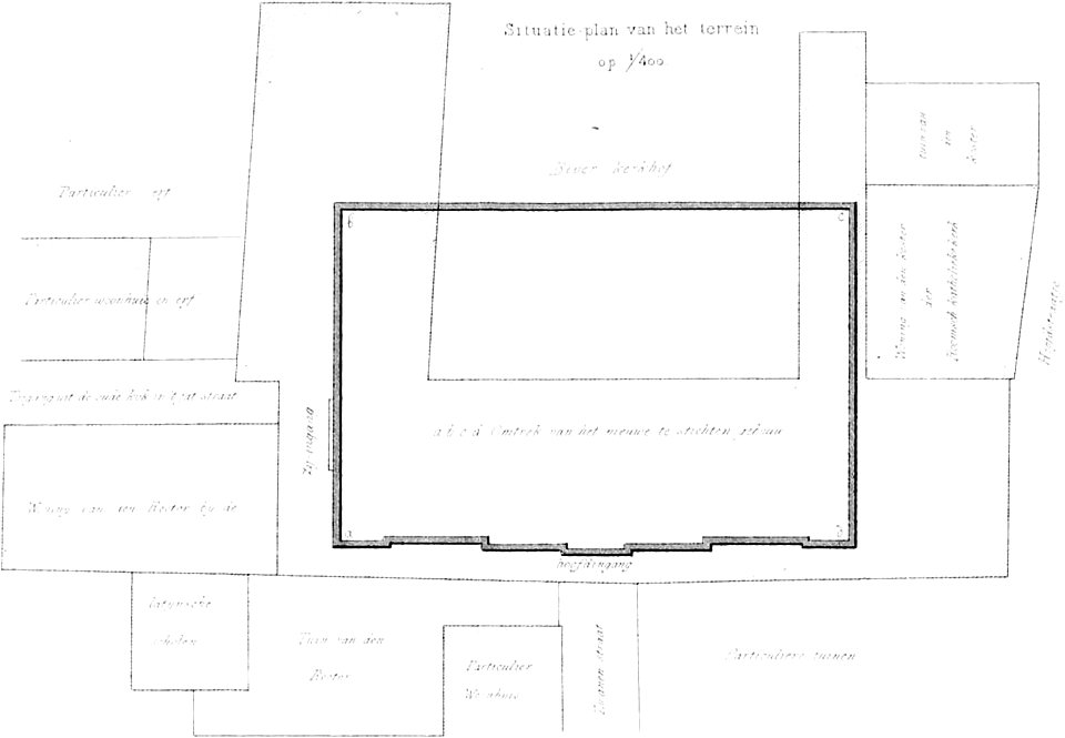
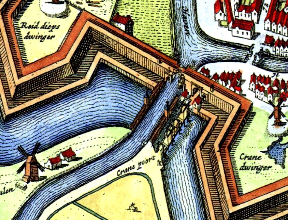
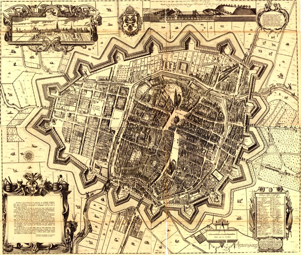
egbert haubois
coats of arms of groningen (city)
gemeente atlas van nederland - groningen
maps in the rijksmuseum amsterdam
groningen (city) in art
prints by salomon savery
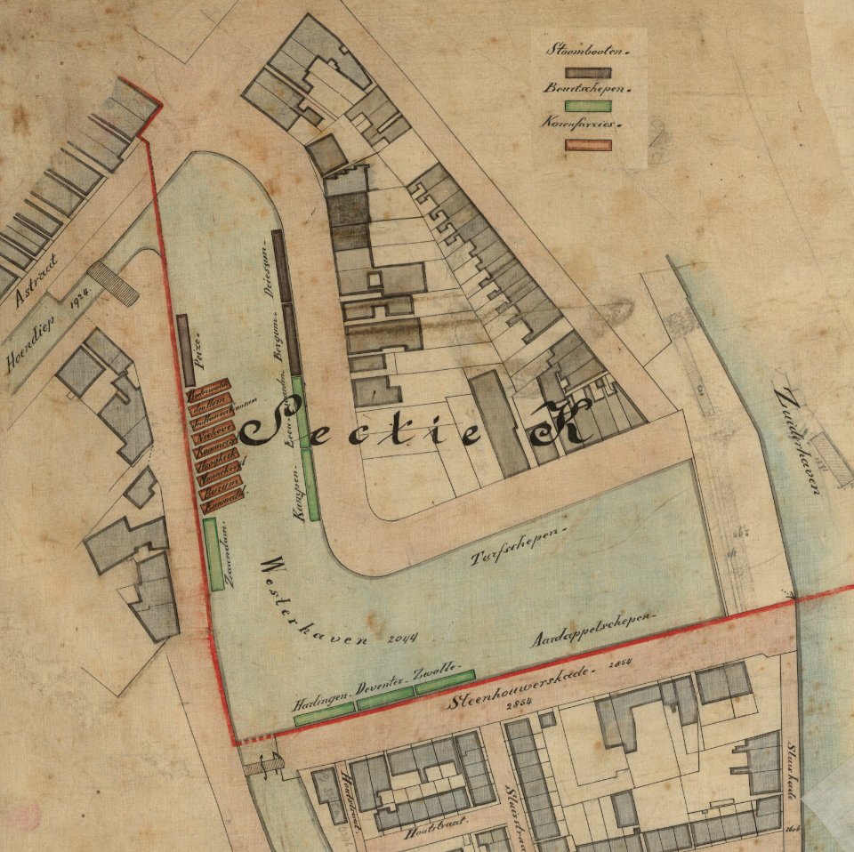
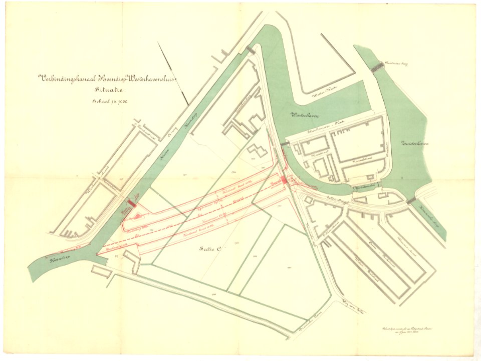
westerhaven (groningen)
demolished buildings in groningen (city)
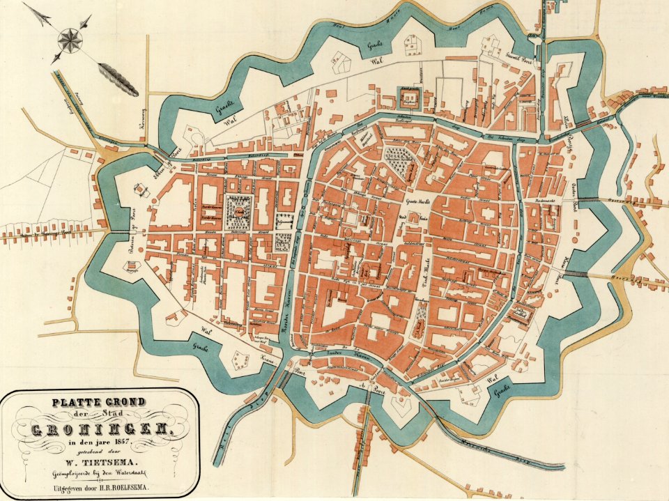
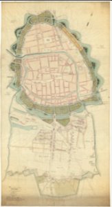
old maps of groningen (city)
maps by willem and johannes blaeu
old maps of groningen (city)
netherlands
gorredijk
old maps of groningen (city)
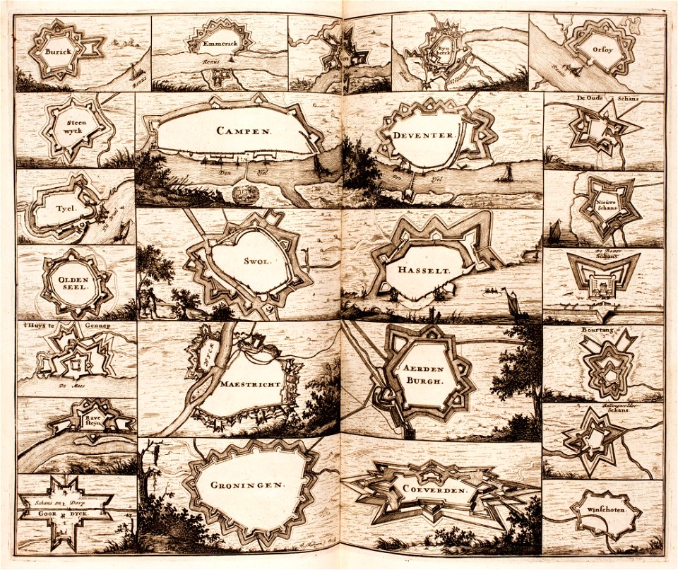
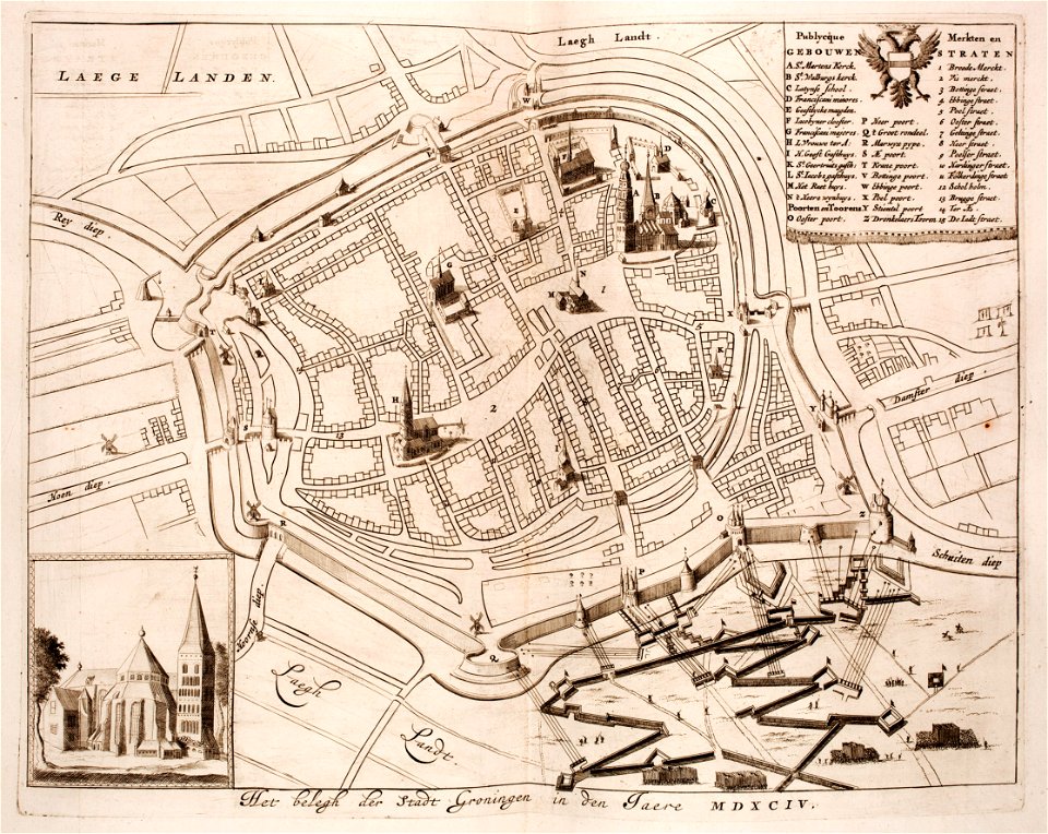
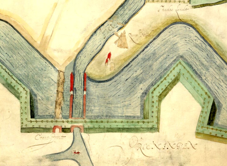
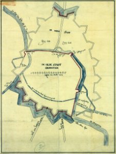
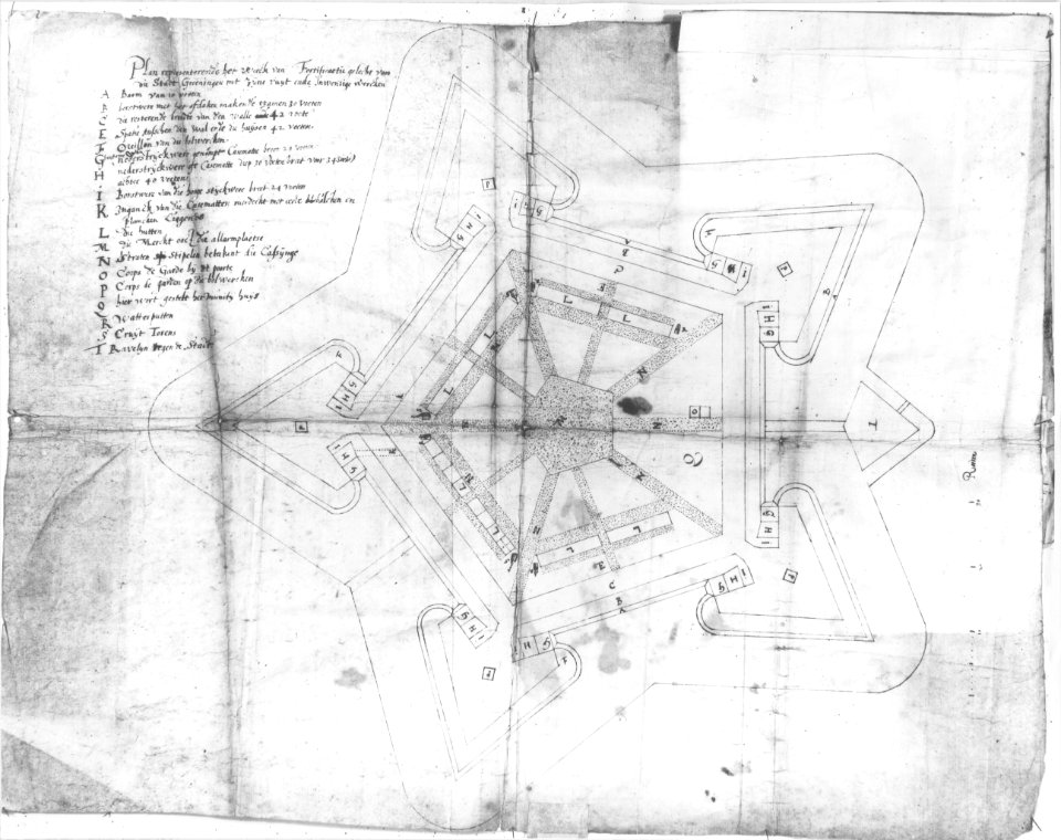
siege of groningen (1594)
maps by willem and johannes blaeu
old maps of groningen (city)
gemeente atlas van nederland - groningen
old maps of groningen (city)
maps by willem and johannes blaeu
old maps of groningen (city)
gemeente atlas van nederland - groningen
old maps of groningen (city)
maps by willem and johannes blaeu
old maps of groningen (city)
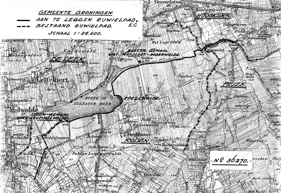
19th-century maps of groningen (province)
old maps of groningen (city)
old maps of groningen (city)
baroque
old maps of groningen (city)
egbert haubois
historical
history
historical
history
historical
history
historical
history
maps in the rijksmuseum amsterdam
old maps of groningen (city)
historical
history
old maps of groningen (city)
egbert haubois
historical
history
historical
history
historical
history
historical
history
historical
history
historical
history
historical
history
historical
history
historical
history
historical
history
historical
history
historical
history
1 - 31 of 31
/ 1