Log in
All resources
Create a design
34 Free Images of Maps Of The Southern Ocean
bibliothèque nationale de france
considérations géographiques et physiques sur les nouvelles découvertes au nord de la grande mer
philippe buache
18th-century maps of antarctica
maps from the earth and its inhabitants, vol. xiv
world map
early world maps
history of cartography
english-language maps of the world
18th-century double hemisphere world maps
typus orbis terrarum
1570 maps
maps of the west-indische compagnie
1747)
old constellation maps
maps by samuel dunn
landscape
maps
atlantic ocean
ecosystems
old maps of bouvet island
bouvet island
illustrations from the sphinx of the ice fields by george roux
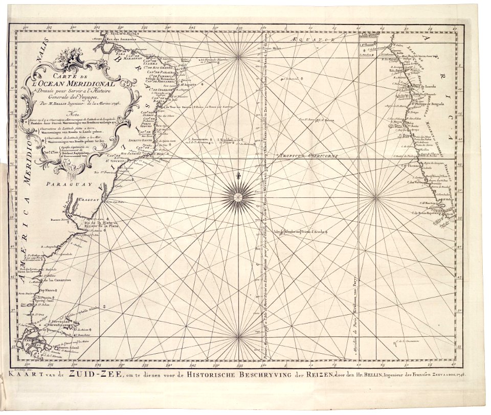
maps of the southern ocean
old maps of bouvet island
bouvet island
16th-century maps of the indian ocean
renaissance
jean-baptiste-henri delahaye
philippe buache
17th-century maps of the indian ocean
maps by willem and johannes blaeu
maps of the south atlantic
guillaume dheulland
maps by john cary
1806 maps of asia
considérations géographiques et physiques sur les nouvelles découvertes au nord de la grande mer
1750s maps of the russian empire
considérations géographiques et physiques sur les nouvelles découvertes au nord de la grande mer
1755 maps of north america
maps by gouverneur k. warren
maps by edwin freyhold
maps from the earth and its inhabitants, vol. xiv
maps of the southern ocean
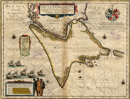
17th-century maps of the strait of magellan
maps by willem and johannes blaeu
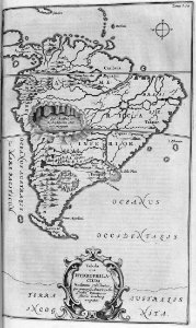
brazil
maps
considérations géographiques et physiques sur les nouvelles découvertes au nord de la grande mer
hokkaido in art
maps from the earth and its inhabitants, vol. xiv
maps of the southern ocean
considérations géographiques et physiques sur les nouvelles découvertes au nord de la grande mer
isla de los estados
maps from the earth and its inhabitants, vol. xiv
bathymetric maps of the southern ocean
considérations géographiques et physiques sur les nouvelles découvertes au nord de la grande mer
old maps of the yellow sea
considérations géographiques et physiques sur les nouvelles découvertes au nord de la grande mer
eso island
considérations géographiques et physiques sur les nouvelles découvertes au nord de la grande mer
isla de los estados
considérations géographiques et physiques sur les nouvelles découvertes au nord de la grande mer
eso island
1750s maps of california
philippe buache
cartography
maps
1740s maps of the world
maps by emanuel bowen
1821 maps of the united states
maps by john cary
hms chanticleer (ship, 1808)
john heaviside clark
cartouches by guillaume delisle
philippe buache
carte de l'isle de ceylan by guillaume delisle (1722)
philippe buache
1 - 34 of 34
/ 1