Log in
All resources
Create a design
42 Free Images of Maps Of The Seine River
pages with maps
cc-zero
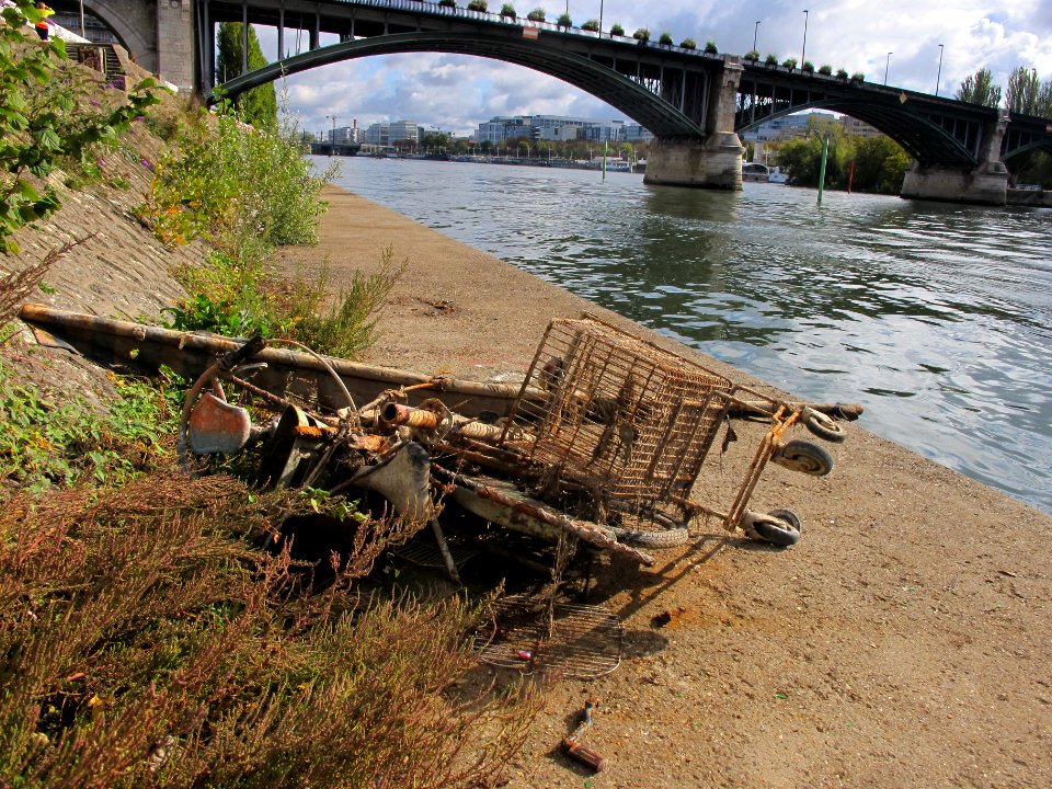
water
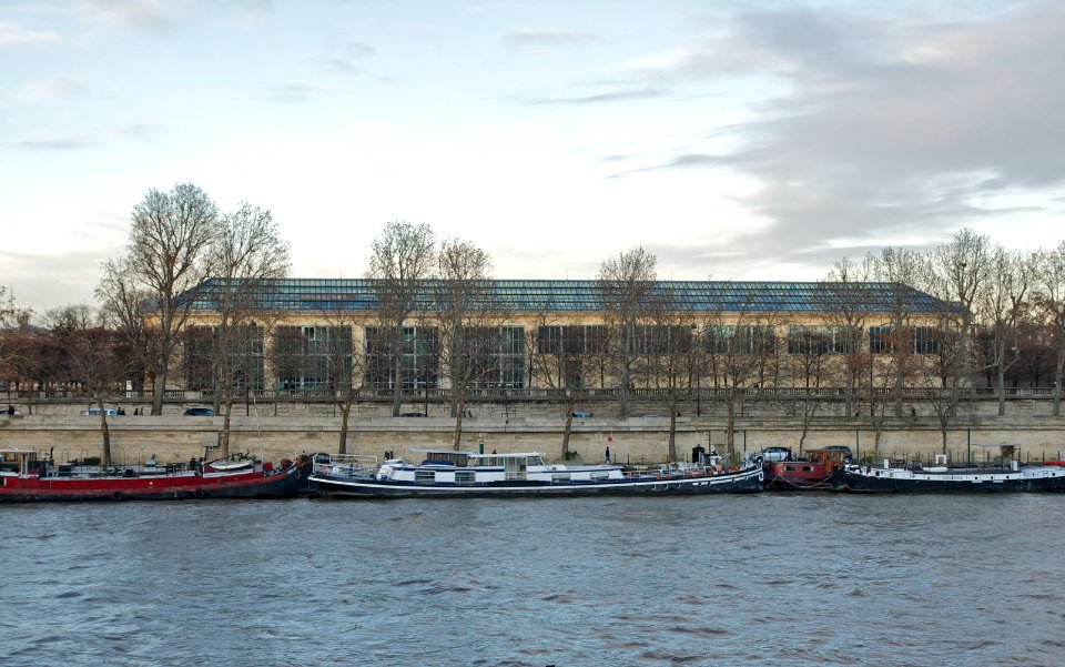
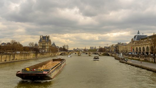
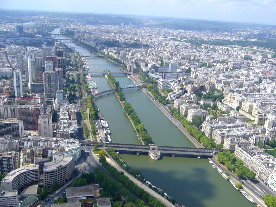
seine river in paris
boat
pont de levallois
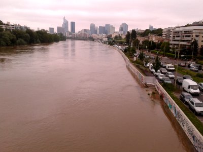
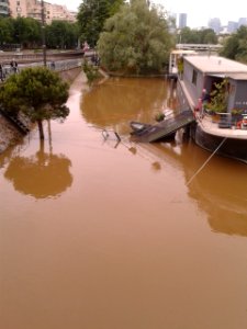
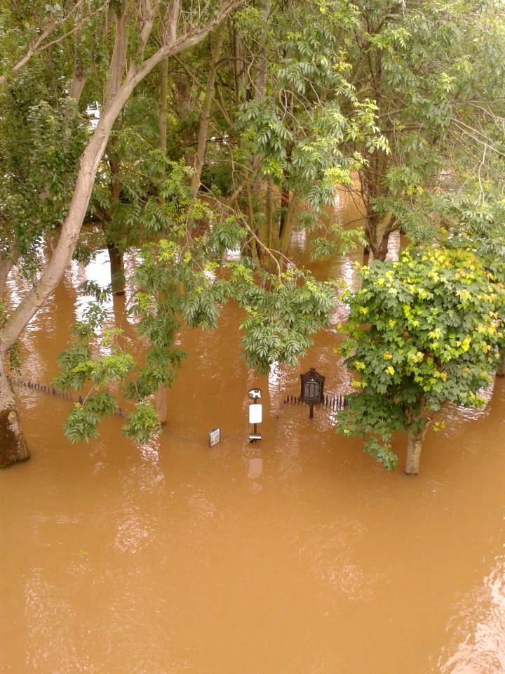
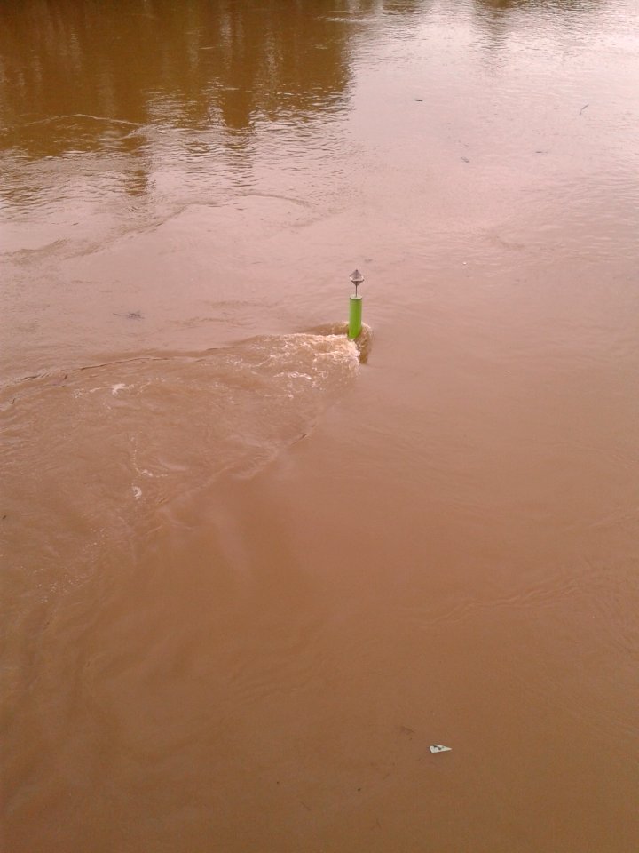
floods of seine river in 2016
floods in hauts-de-seine
cityscape
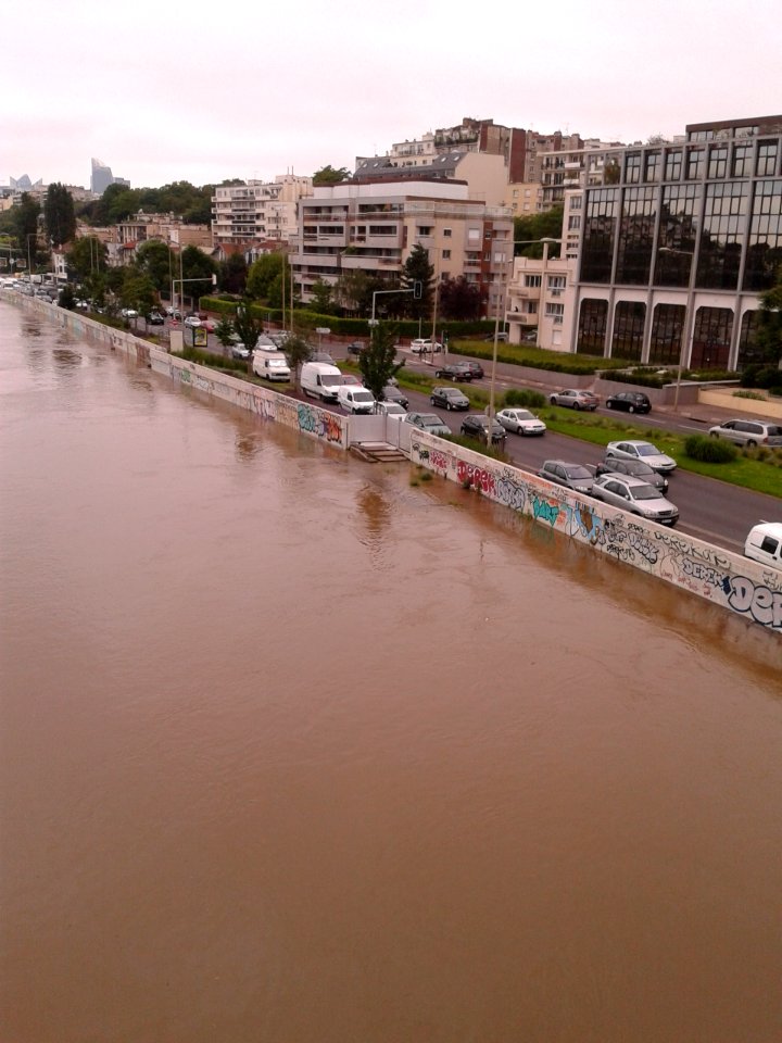
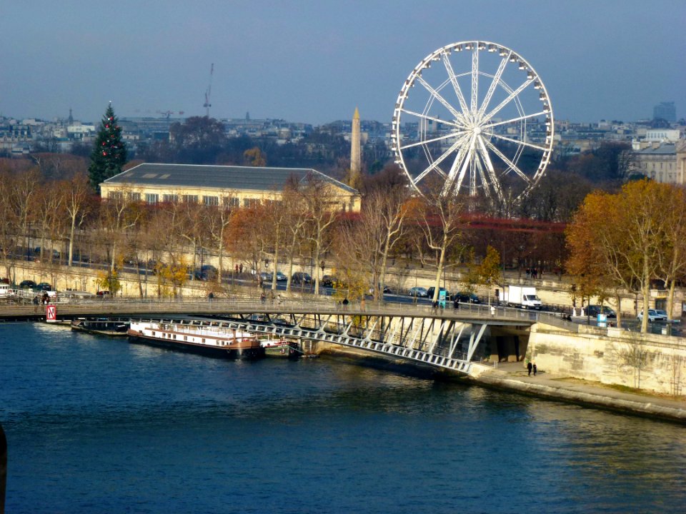
may 2015 in paris
pont royal
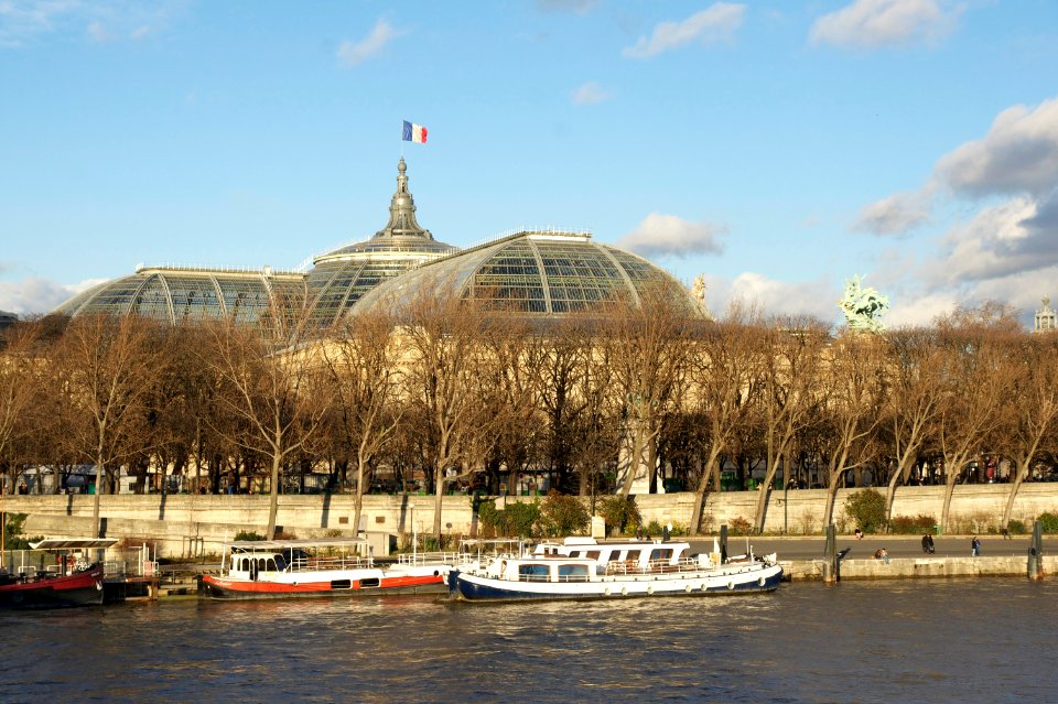
river
water
boat
architecture
travel
seine river in paris
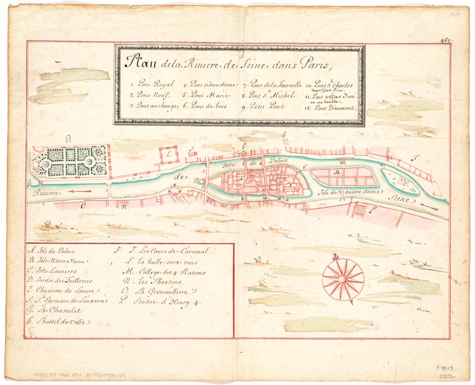
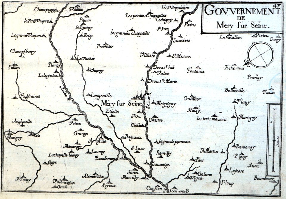
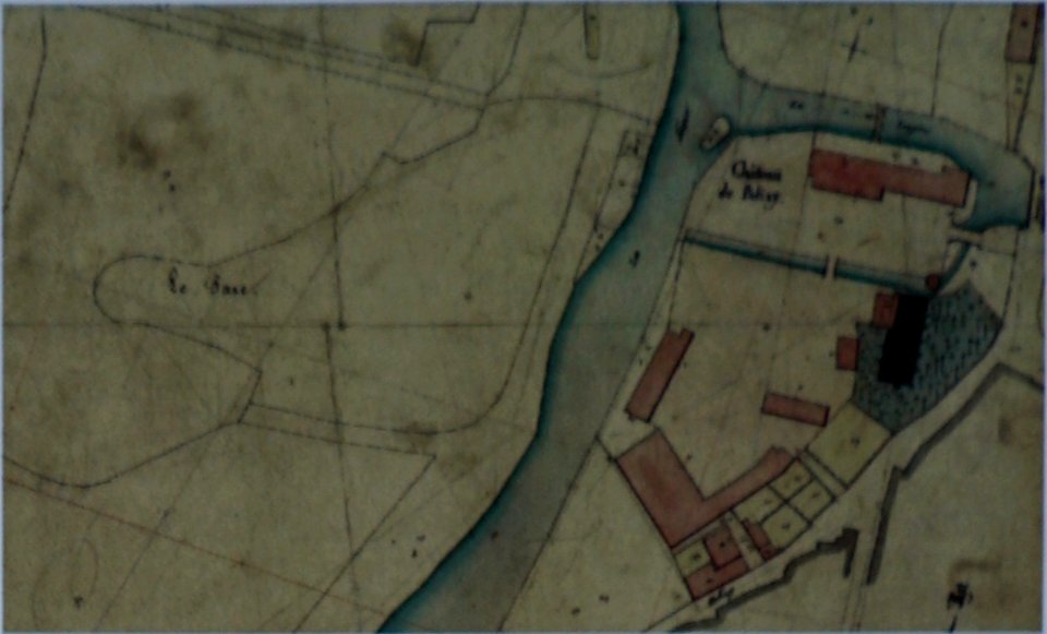
1760 maps
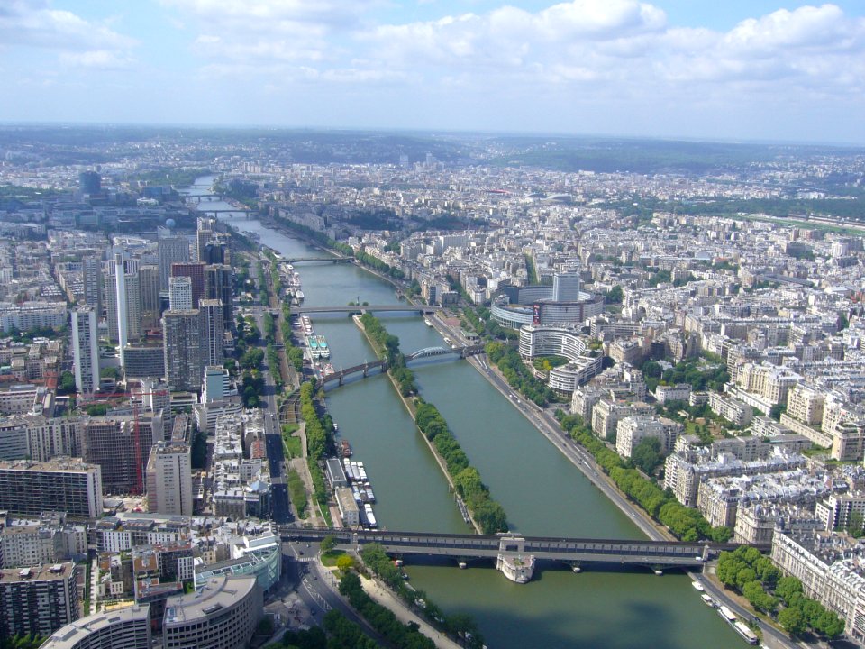
seine river in paris
1760 maps
seine river in paris
old submaps of paris
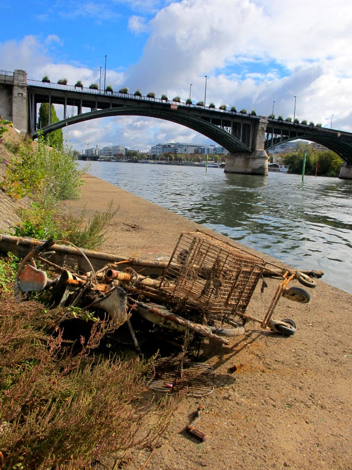
river
boat
water
boat
water
boat
self-published work
pages with maps
pages with maps
tree
water
wave
water
boat
self-published work
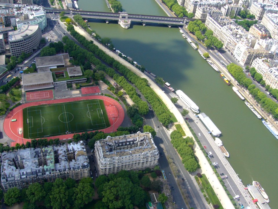
river
travel
boat
water
river
travel
water
foliage
green
architecture
water
pont royal
water
skyline
water
water
river
cityscape
water
cityscape
city
cityscape
water
cityscape
town
bird's-eye views of paris
engravings of paris
water
city
maps of paris from bibliothèque nationale de france
philippe buache
confluence of the seine and marne rivers
plan de roussel - derivative files
guide joanne normandie-1912
1912 maps of france
historical images of parvis notre-dame - place jean-paul ii
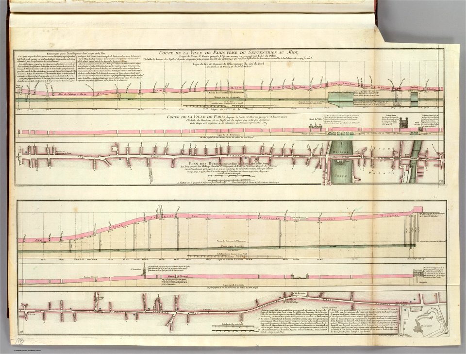
turgot map of paris – derivative files
recueil d'antiquités égyptiennes, étrusques, greques et romaines (1752)
18th-century maps of paris
map of paris by françois quesnel
hôtel du petit-bourbon
turgot map of paris, norman b. leventhal map center
sheet 19 of the turgot map of paris
géographie générale; physique, politique et économique (1876)
old maps of rivers of france
historical
history
maps of the seine river
1886 maps of france
historical
history
old maps of regions of france
pierre françois tardieu
prints by james gillray in the british museum
satirical prints in the british museum
recueil d'antiquités égyptiennes, étrusques, greques et romaines (1756)
historical images of paris
1 - 42 of 42
/ 1