Log in
All resources
Create a design
15 Free Images of Maps Of Paris In The 1770s
bibliothèque nationale de france
lithographs of paris
floor plans of paris
paris à travers les âges
louis brion de la tour
1770 in paris
1770s maps of paris
maps by louis brion de la tour
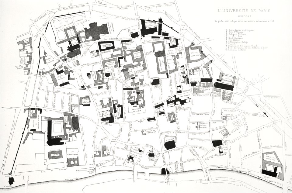
université de paris
street maps of paris 5e arrondissement
lithographs of paris
université de paris
lithographs of paris
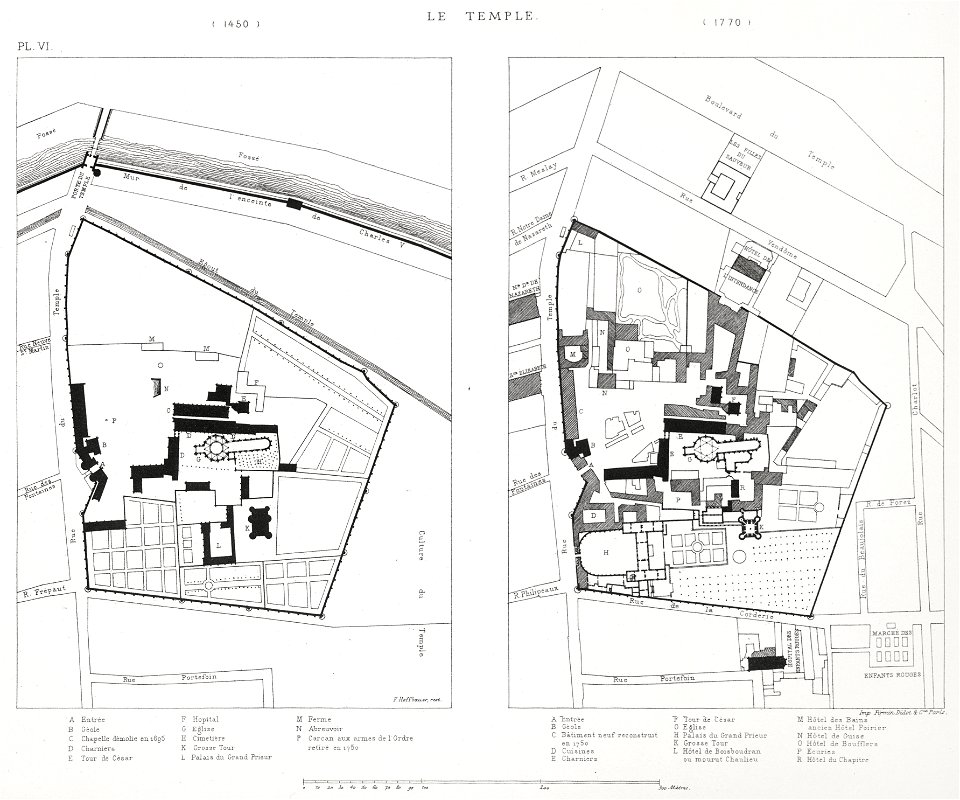
floor plans of paris
lithographs of paris
université de paris
lithographs of paris
floor plans of paris
maps of paris from the barry lawrence ruderman antique maps inc.
18th-century maps of paris
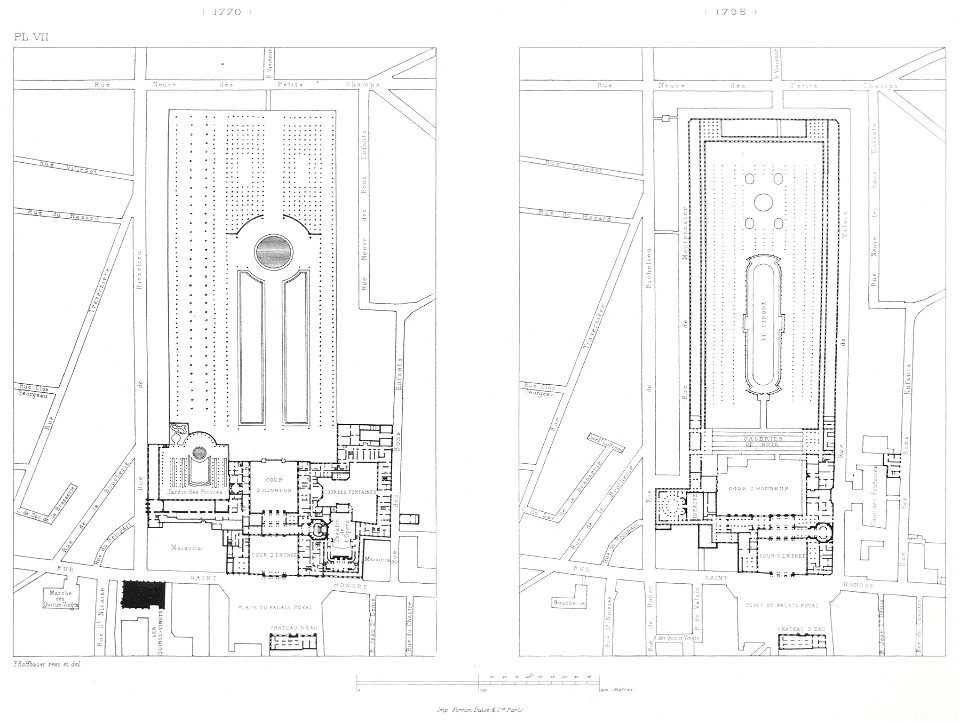
engravings of palais royal by theodor hoffbauer
lithographs of paris
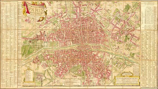
plan routier de la ville et faubourg de paris by jean lattré
maps of paris from bibliothèque nationale de france
plan routier de la ville et faubourg de paris by jean lattré
maps of paris from bibliothèque nationale de france
maps of paris by louis-joseph mondhare
maps of paris from paris musées
1770s maps of china
1779 maps
old maps of the peloponnese
maps of the peloponnese
1770s maps of the world
1775 maps
1770s maps of the americas
1775 maps
1770s maps of rhineland-palatinate
maps of east palatinate by sanson
1779 maps of the united states
1770s maps of the caribbean
1 - 15 of 15
/ 1