Log in
All resources
Create a design
296 Free Images of Maps Of Journeys
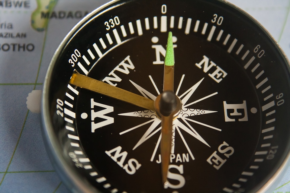
direction
travel
explore
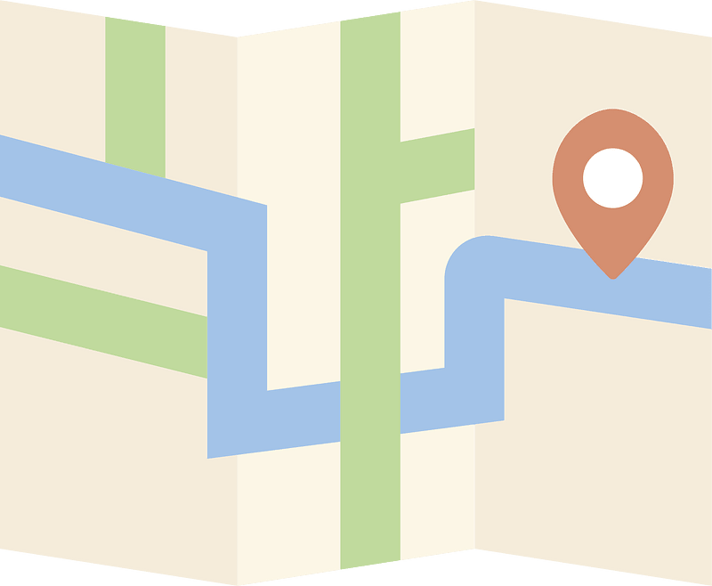
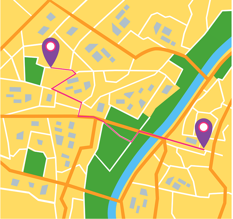
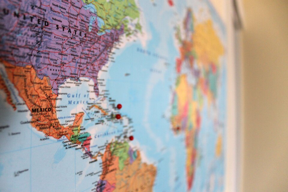
navigation
location
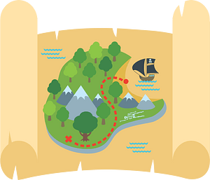
adventure
geography
place
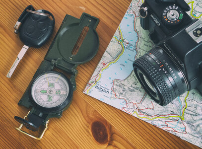
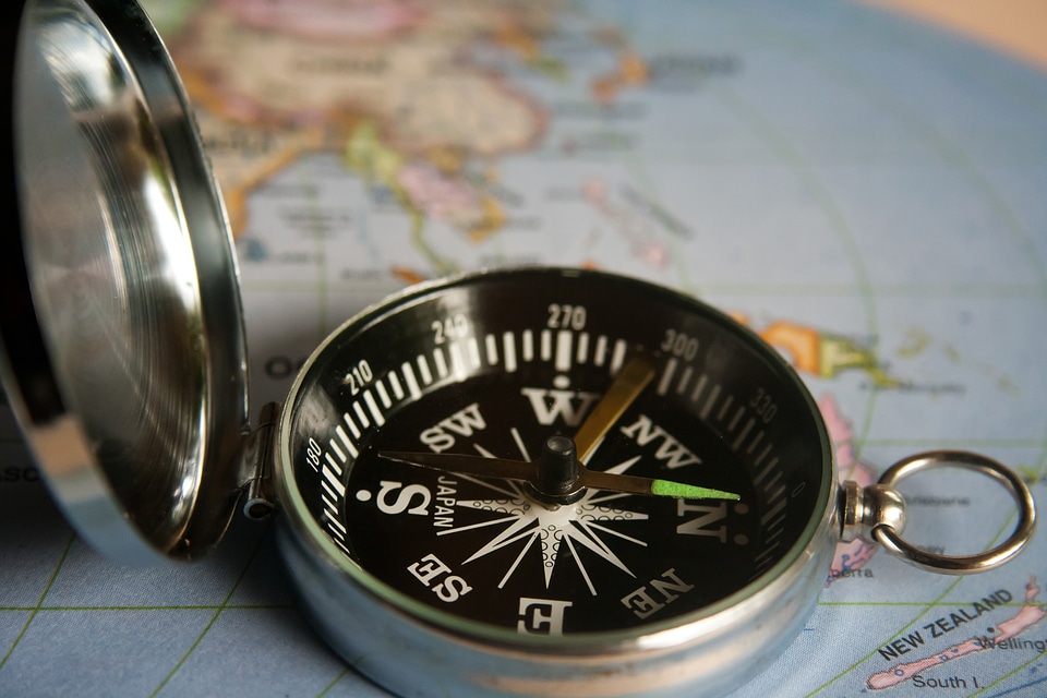
compass
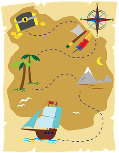
scavenger hunt
treasure
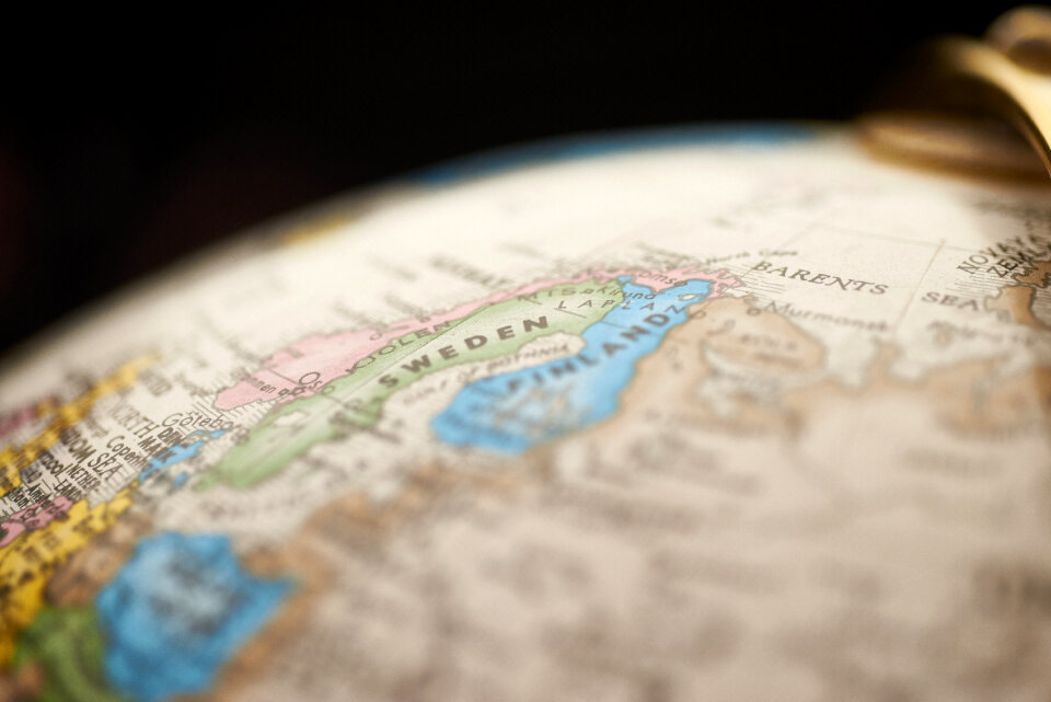
maps
direction
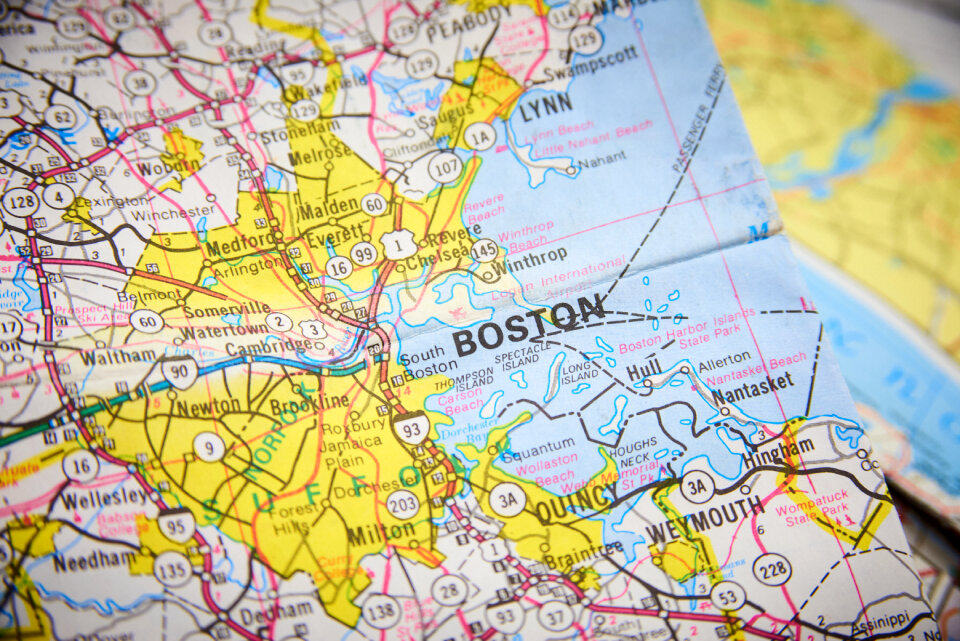
maps
direction
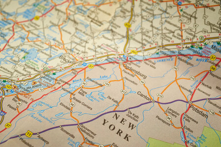
maps
direction
maps
direction
maps
chest
maps
direction
maps
maps
gps
maps
gps
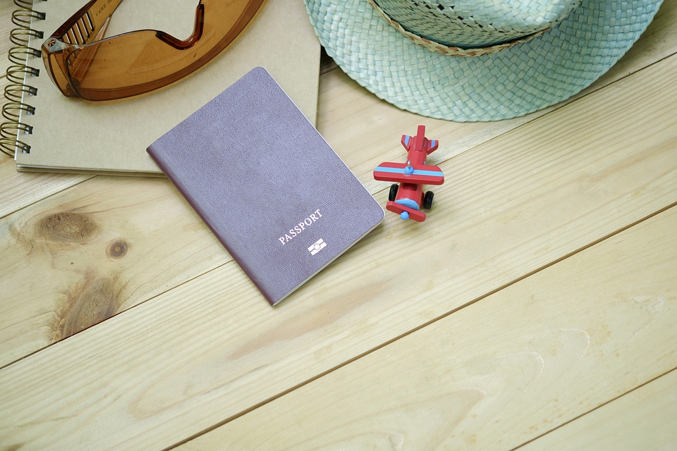
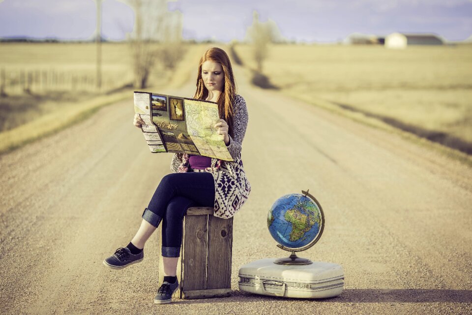
holiday
travel
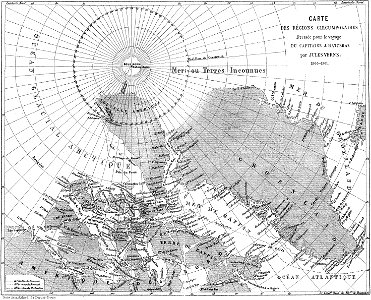
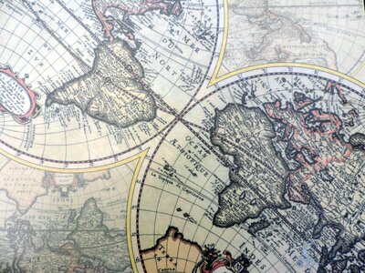
maps from the earth and its inhabitants, vol. vi
russia in the 19th century
maps from the earth and its inhabitants, vol. vi
russia in the 19th century
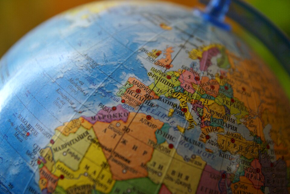
maps
gps
maps
gps
maps from the earth and its inhabitants, vol. vi
maps indicating exploration
maps
gps
maps
gps
maps from the earth and its inhabitants, vol. vi
charles eugène perron
maps from the earth and its inhabitants, vol. vi
maps indicating exploration
travel
maps
travel
maps
1876 maps
1884 maps
travel
maps
treasure
maps
1876 maps
1884 maps
travel
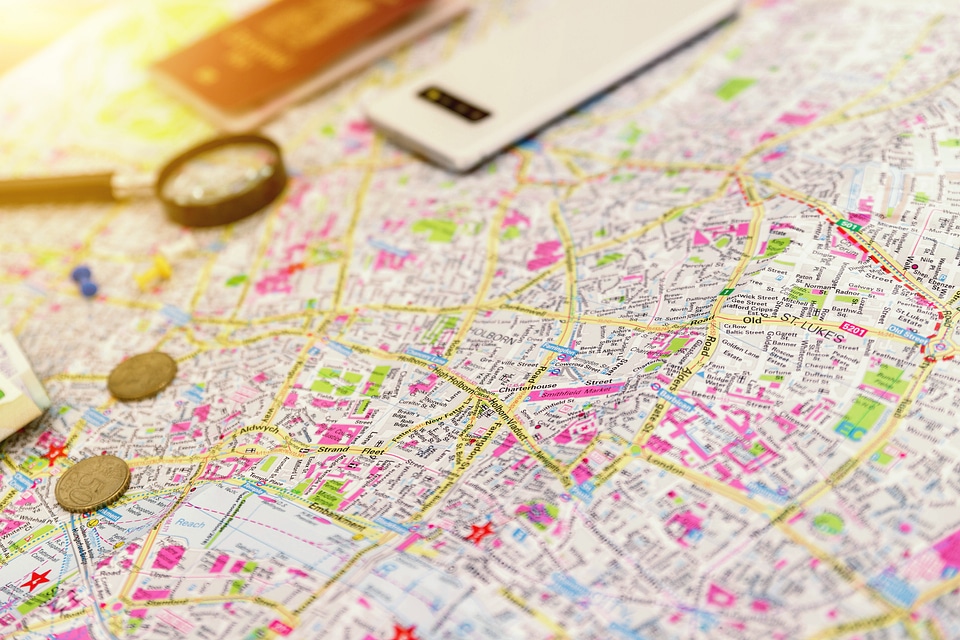
maps
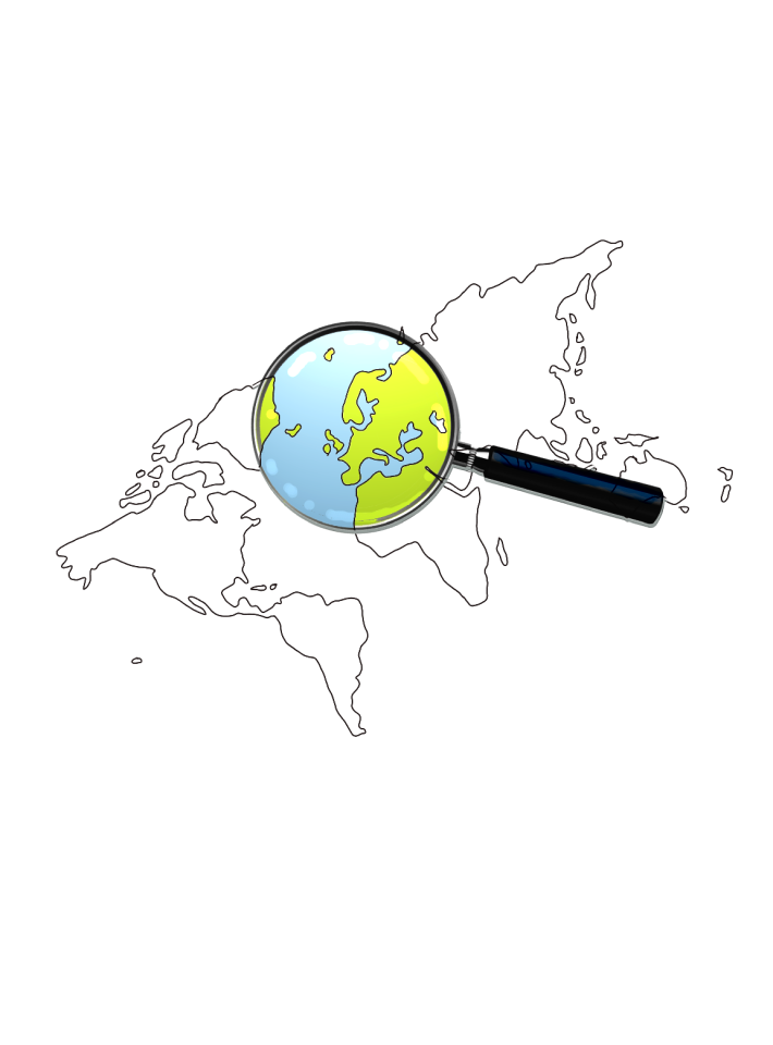
magnifying glass
maps
people
maps
people
maps
travel
maps
people
maps
travel
maps
travel
maps
travel
maps
people
maps
travel
maps
background
maps
background
maps
people
maps
pages with maps
cc-pd-mark
maps from the earth and its inhabitants, vol. vi
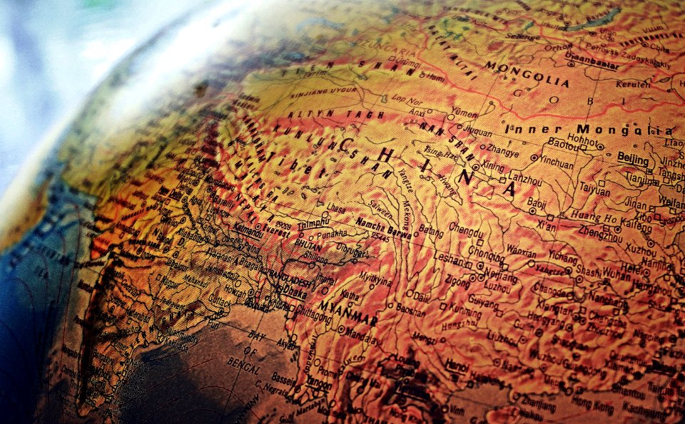
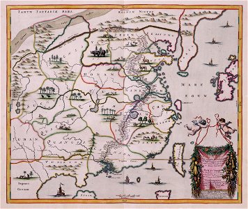
maps of the silk road
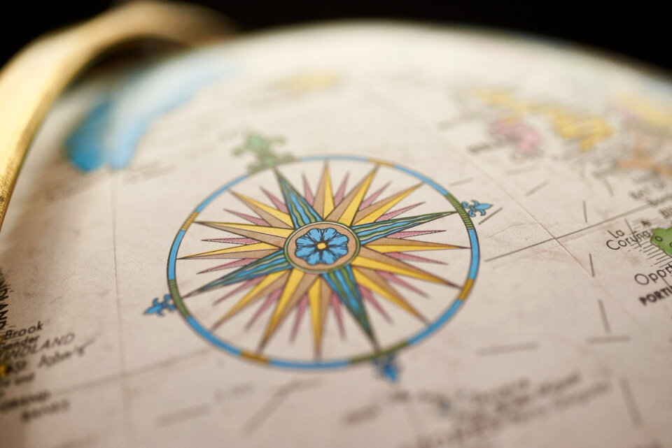
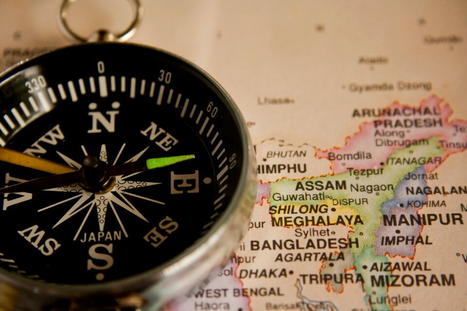
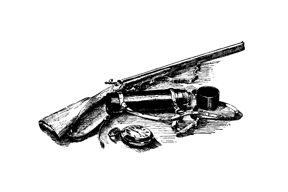
adventure
compass
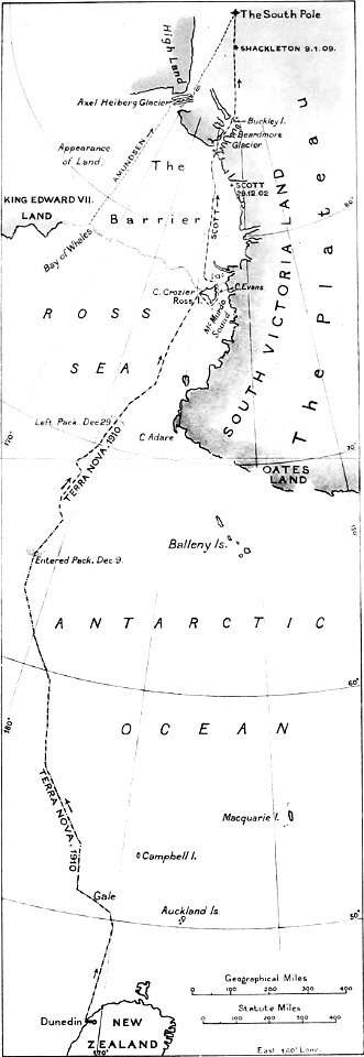
the worst journey in the world (1922
south pole
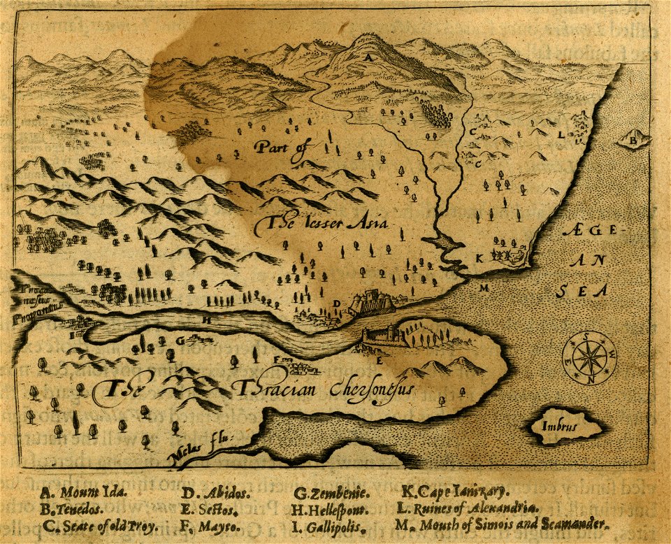
relation of a journey (sandys)
holiday
maps
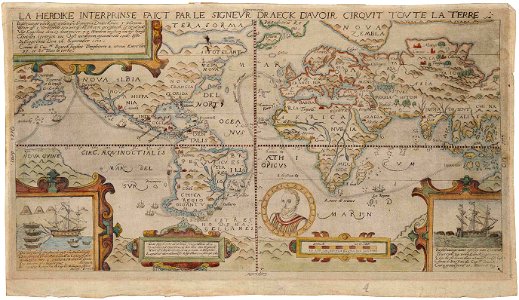
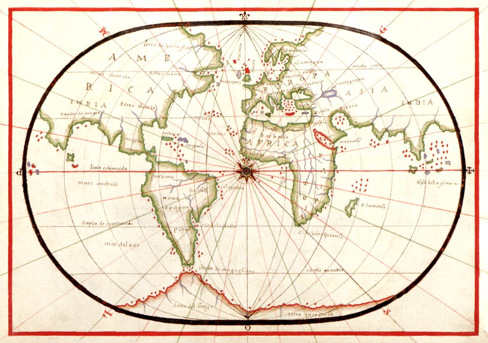
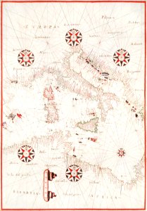
1590s maps of the world
francis drake
relation of a journey (sandys)
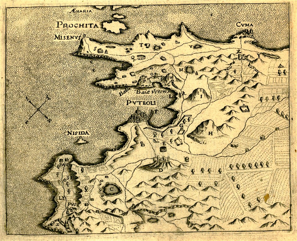
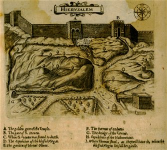
17th-century maps of jerusalem
old maps of the arctic
maps in literature
atlas
art
relation of a journey (sandys)
travel
maps
travel
maps
historical images of jerusalem
relation of a journey (sandys)
maps
sea
maps
gps
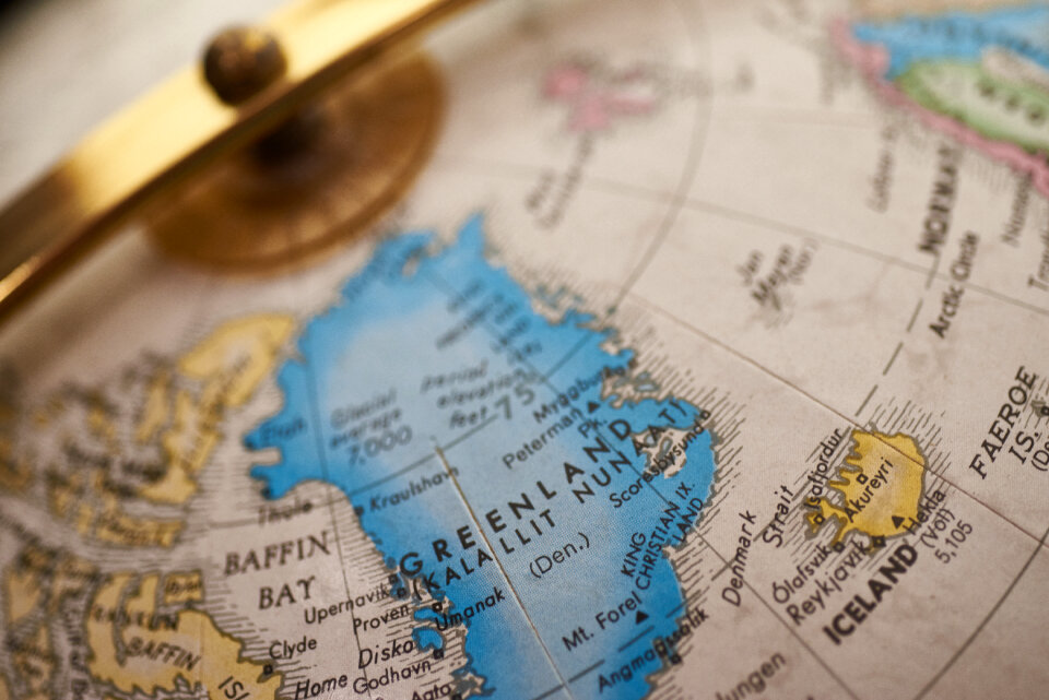
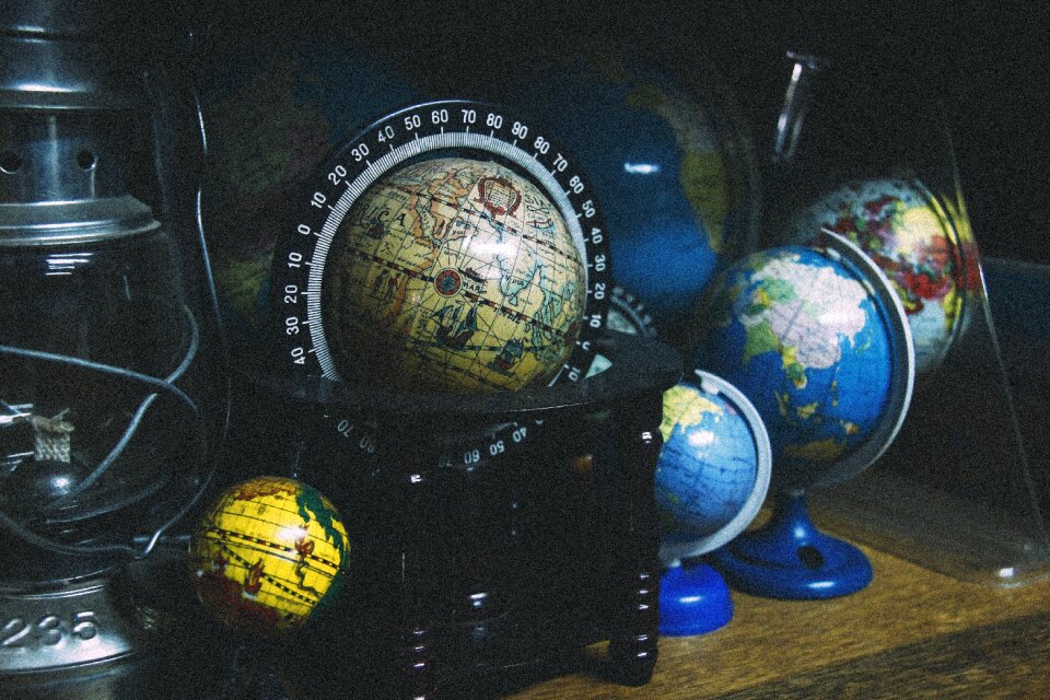
medieval
maps
adventure
boots
maps
sea
old maps of taiwan
1665
travel
maps
maps
gps
il devotissimo viaggio di gerusalemme fatto
travel
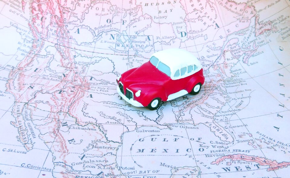
maps
vehicle
maps
adventure
pirate
christmas
happy
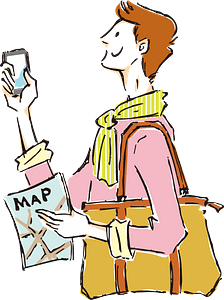
travel
maps
background
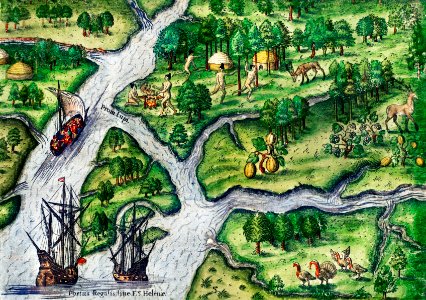
africa
travel
maps
vehicle
maps
travel
maps
travel
maps
compass
travel
maps
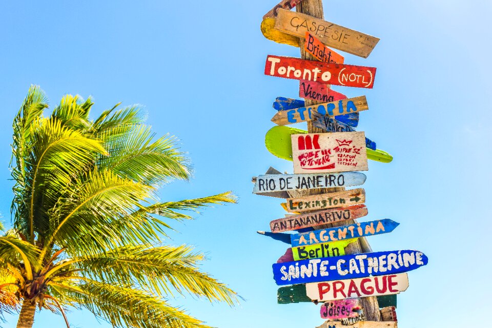
sign
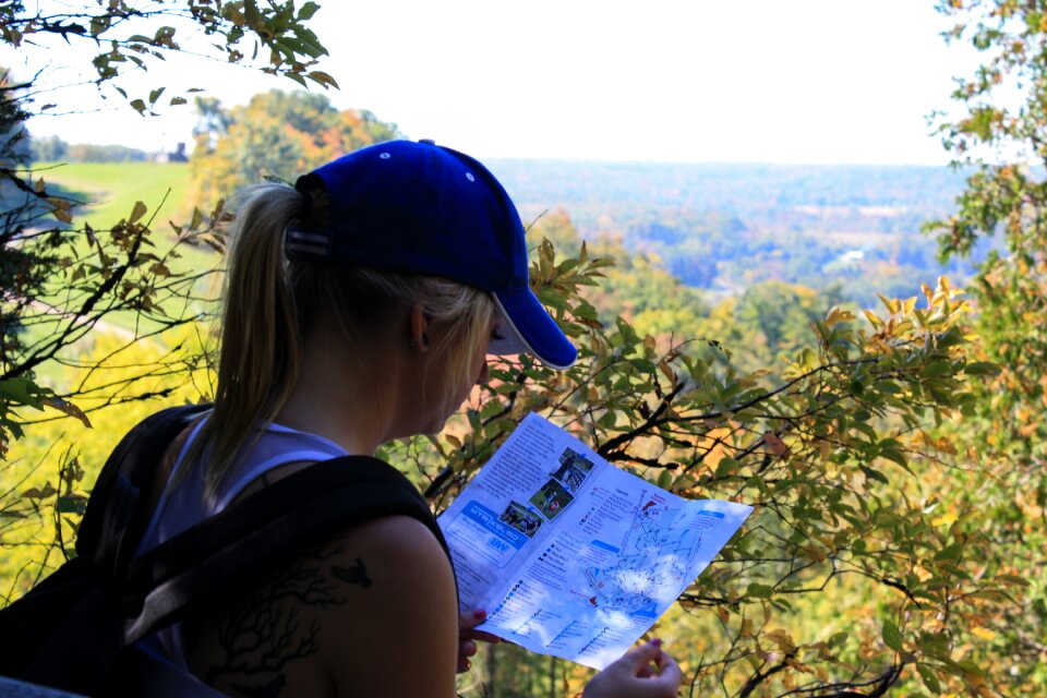
woman
girl
gps
pin
woman
girl
travel
maps
islands
maps
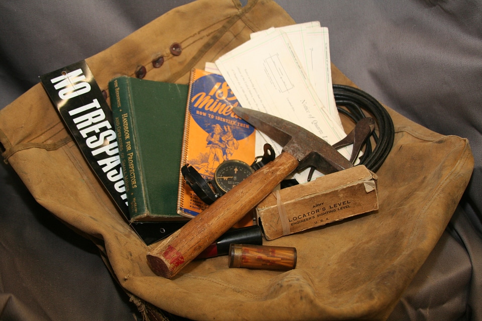
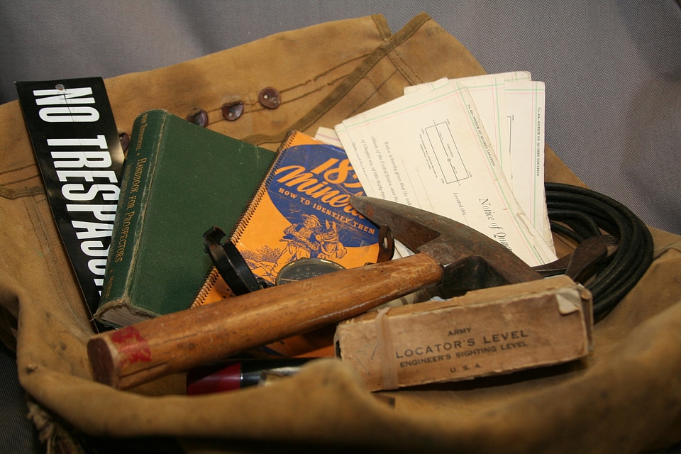
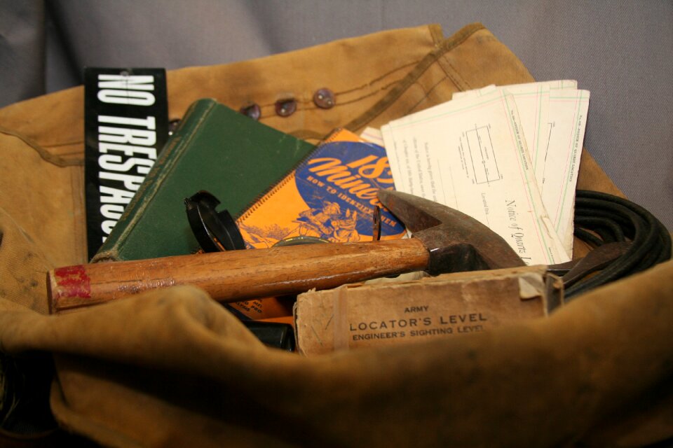
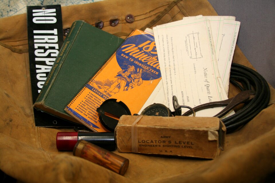
army
maps
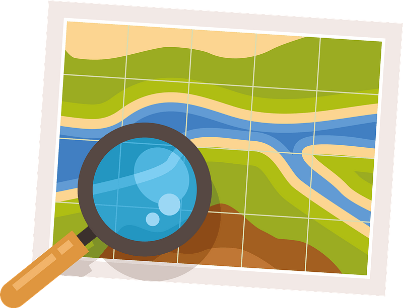
tools
maps
tools
maps
tools
maps
destination
travel
destination
travel
tools
maps
maps
blue
travel
maps
business
maps
icons
maps
vehicle
maps
travel
maps
travel
maps
travel
maps
travel
maps
people
maps
brazil
ocean
landscape
maps
symbol
maps
maps from the earth and its inhabitants, vol. vi
exploration of asia
1 - 100 of 296
Next page
/ 3