Log in
All resources
Create a design
85 Free Images of Maps By Thomas Kitchin
bibliothèque nationale de france
andrew dury
david rumsey historical map collection
english-language maps
multilingual maps
maps using ferro prime meridian
map of the german empire by louis stanislas d'arcy de la rochette
18th-century double hemisphere world maps
engraving on paper
english-language maps of africa
old constellation maps
maps by samuel dunn
old maps of the american revolution
conflicts in 1778
old county maps of middlesex
maps by thomas kitchin
maps by thomas kitchin
willow palisade
maps by thomas kitchin
andrew dury
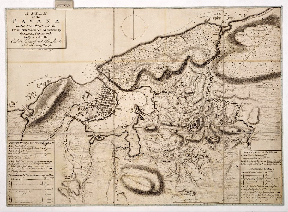
maps of the battle of havana
1762 in cuba
maps by jean-baptiste bourguignon d'anville
maps by thomas kitchin
maps by thomas kitchin
andrew dury
english-language maps
1747 maps of asia
old maps of the bay of gibraltar
18th-century maps of gibraltar
maps of the world with orthographic projection
maps of the world without antarctica
maps by thomas kitchin
andrew dury
maps by thomas kitchin
1782 maps of africa
maps of the history of morocco
empire of morocco
maps by thomas kitchin
1750s maps of germany
maps by thomas kitchin
1750s maps of germany
eran laor cartographic collection
thomas kitchin
maps by thomas kitchin
andrew dury
maps by thomas kitchin
1770 maps of africa
old county maps of oxfordshire
bodleian maps collection
1770s maps of the caribbean
maps by thomas kitchin
maps by thomas kitchin
1781 maps of europe
1771 maps of south america
andrew dury
maps by jean-baptiste bourguignon d'anville
maps by thomas kitchin
1777 maps of south america
maps by thomas kitchin
maps by thomas kitchin
1780 maps of africa
maps by thomas kitchin
1764 maps of quebec
old county maps of hertfordshire
maps by thomas kitchin
1771 maps of africa
monomotapa
maps in the british museum
maps by thomas kitchin
a new map of the island of tobago... - by tho.s kitchin... - btv1b53121990k
maps by thomas kitchin
a new map of the island of tobago... - by tho.s kitchin... - btv1b53121990k
maps by thomas kitchin
old maps of the polish-lithuanian commonwealth
1790s maps of poland
bibliothèque nationale de france
maps by thomas kitchin
1750s maps of the caribbean
maps by thomas kitchin
bibliothèque nationale de france
maps by thomas kitchin
russian empire in thomas kitchen's general atlas (1773)
general atlas (1773)
maps in the library of congress
1758 maps
eran laor cartographic collection
thomas kitchin
bibliothèque nationale de france
maps by thomas kitchin
18th-century maps of corsica
maps by thomas kitchin
18th-century maps of kent
maps by thomas kitchin
bibliothèque nationale de france
maps by thomas kitchin
1777 maps of south america
maps by thomas kitchin
bibliothèque nationale de france
maps by thomas kitchin
18th-century maps of sri lanka
maps by thomas kitchin
maps in the library of congress
1763 maps of north america
old county maps of hertfordshire
maps by thomas kitchin
bibliothèque nationale de france
maps by thomas kitchin
map of the german empire by louis stanislas d'arcy de la rochette
1773 maps of the holy roman empire
bibliothèque nationale de france
maps by thomas kitchin
bibliothèque nationale de france
maps by thomas kitchin
bibliothèque nationale de france
maps by thomas kitchin
maps by thomas kitchin
old maps of scotland
bibliothèque nationale de france
maps by thomas kitchin
18th-century maps of kent
maps by thomas kitchin
bibliothèque nationale de france
maps by thomas kitchin
bibliothèque nationale de france
maps by thomas kitchin
bibliothèque nationale de france
maps by thomas kitchin
bibliothèque nationale de france
maps by thomas kitchin
old maps of northumberland
maps by thomas kitchin
bibliothèque nationale de france
maps by thomas kitchin
maps by bernard ratzer
maps by thomas kitchin
bibliothèque nationale de france
maps by thomas kitchin
18th-century maps of cornwall
maps by thomas kitchin
maps by thomas kitchin
old maps of hampshire
old maps of oxfordshire
maps by thomas kitchin
an accurate map of england and wales , drawn from all the particular surveys hitherto publish'd. illustrated with many additional improvements, and regulated by numerous astronomical observations made by... - btv1b53181614s
maps by thomas kitchin
an accurate map of england and wales , drawn from all the particular surveys hitherto publish'd. illustrated with many additional improvements, and regulated by numerous astronomical observations made by... - btv1b53181614s
maps by thomas kitchin
bibliothèque nationale de france
maps by thomas kitchin
bibliothèque nationale de france
maps by thomas kitchin
bibliothèque nationale de france
maps by thomas kitchin
bibliothèque nationale de france
maps by thomas kitchin
bibliothèque nationale de france
maps by thomas kitchin
maps by bernard ratzer
maps by thomas kitchin
bibliothèque nationale de france
maps by thomas kitchin
maps by thomas kitchin
maps of wales
1794 maps of the holy roman empire
english-language maps of europe
maps of barbary coast
old maps of tartary
map of the german empire by louis stanislas d'arcy de la rochette
1782 maps of the holy roman empire
bibliothèque nationale de france
maps by thomas kitchin
africa in the 18th century
1794 maps of africa
africa in the 18th century
1794 maps of africa
david rumsey historical map collection
1790s maps of the holy roman empire
david rumsey historical map collection
1790s maps of the holy roman empire
1 - 85 of 85
/ 1