Log in
All resources
Create a design
29 Free Images of 19th Century Maps Of Bavaria
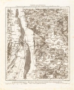
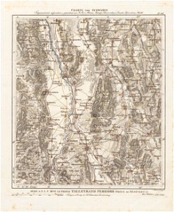
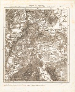
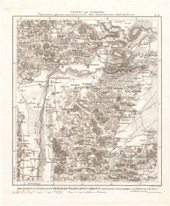
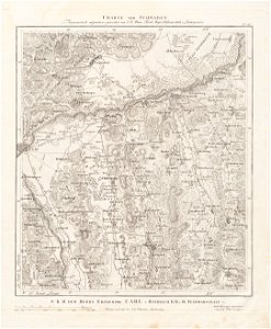
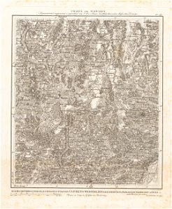
charte von schwaben (bohnenberger)
pages with maps
cc-zero
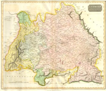
maps by john cary
john cary
cultural heritage monuments in bavaria with known ids
19th-century churches in lower bavaria
churches in dekanat dingolfing
19th-century maps of baden-württemberg
english-language maps of europe
self-published work
city
19th-century maps of bavaria
1814 maps
old maps of rhineland-palatinate
old maps of hesse
19th-century maps of bavaria
wertach river in augsburg
charte von schwaben (bohnenberger)
19th-century maps of bavaria
19th-century maps of bavaria
staffelsee
charte von schwaben (bohnenberger)
19th-century maps of bavaria
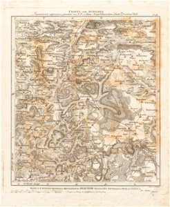
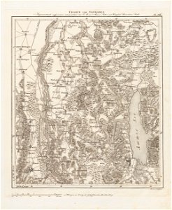
charte von schwaben (bohnenberger)
19th-century maps of bavaria
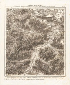
charte von schwaben (bohnenberger)
19th-century maps of bavaria
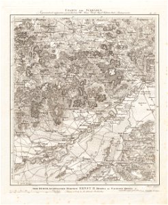
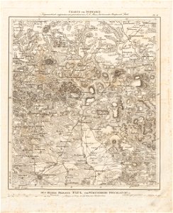
charte von schwaben (bohnenberger)
19th-century maps of bavaria
charte von schwaben (bohnenberger)
19th-century maps of bavaria
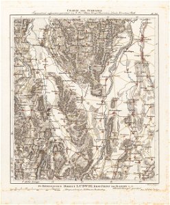
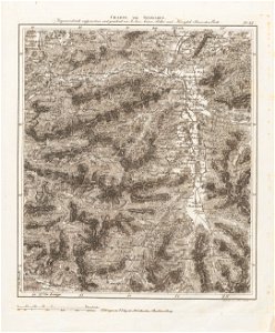
charte von schwaben (bohnenberger)
19th-century maps of bavaria
charte von schwaben (bohnenberger)
19th-century maps of bavaria
19th-century maps of bavaria
nördlinger ries
charte von schwaben (bohnenberger)
19th-century maps of bavaria
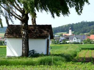
geography of marktoberdorf
kohlhunden
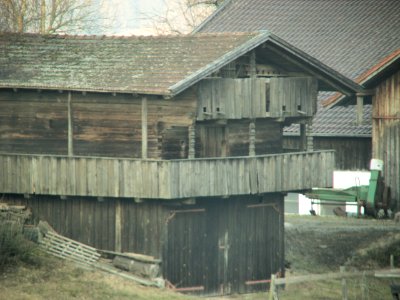
rural
wood
geography of füssen
tannheimer berge
19th-century portrait paintings in germany
19th-century sailing ships in paintings
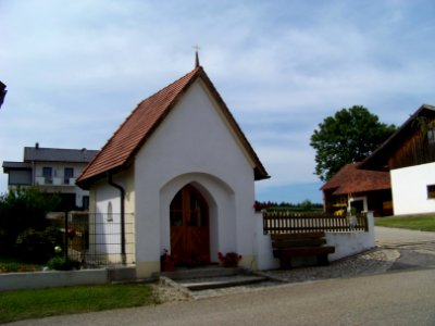
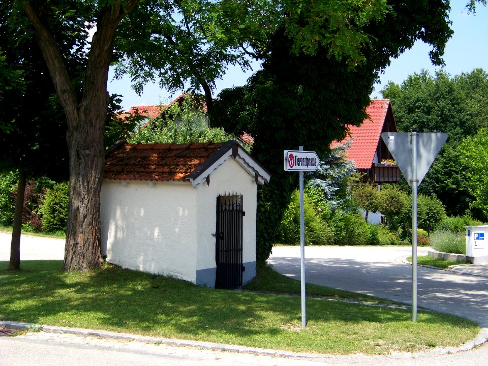
architecture
village
self-published work
sidewalk
architecture
grass
josephine of leuchtenberg in portraits
princess augusta of bavaria
1801 maps of europe
maps by john cary
maps by john cary
1799 maps
maps by john cary
1801 maps
historical
history
old maps of swabia
maps by john cary
1801 maps of germany
maps by john cary
1 - 29 of 29
/ 1