Log in
All resources
Create a design
11 Free Images of 18th Century Maps Of Prussia
english-language maps of europe
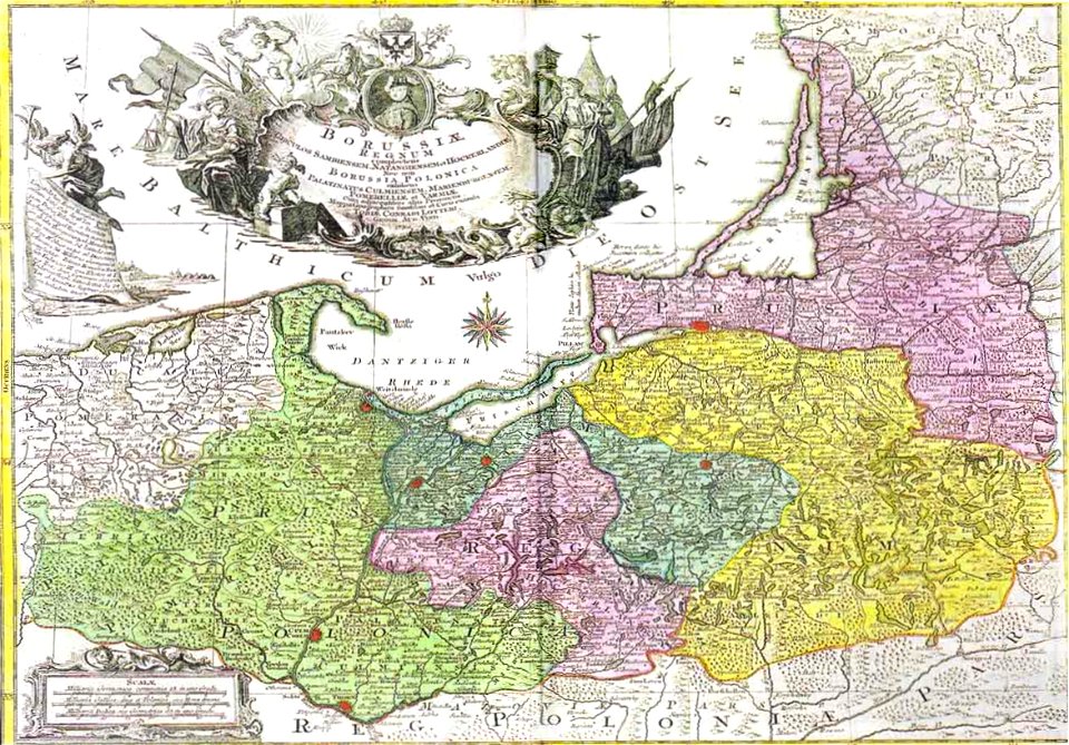
old maps of prussia
maps by john cary
1799 maps
old maps of lithuania under russian and german empires
1799 maps of lithuania
john cary
1790s maps of poland
1790s maps of lithuania
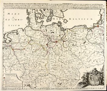
grenzkarte der preussischen, russischen und oestreichischen monarchien (1796)
maps of 18th-century europe
latin-language maps
atlantis magni tomus quintus (biblioteca comunale di trento)
maps made in the 18th century
18th-century three-quarter view portrait paintings of men
1794 oil on canvas paintings in germany
german empire
east germany
maps by john cary
1799 maps
old maps of the polish-lithuanian commonwealth
1790s maps of poland
maps by john cary
1799 maps
grenzkarte der preussischen, russischen und oestreichischen monarchien (1796)
18th-century maps of prussia
grenzkarte der preussischen, russischen und oestreichischen monarchien (1796)
maps of kovno governorate
map of the german empire by louis stanislas d'arcy de la rochette
1782 maps of the holy roman empire
david rumsey historical map collection
1790s maps of the holy roman empire
1 - 11 of 11
/ 1