Log in
All resources
Create a design
928 Free Images of 1870 Maps
pages with maps
cc-zero
maps in the library of congress
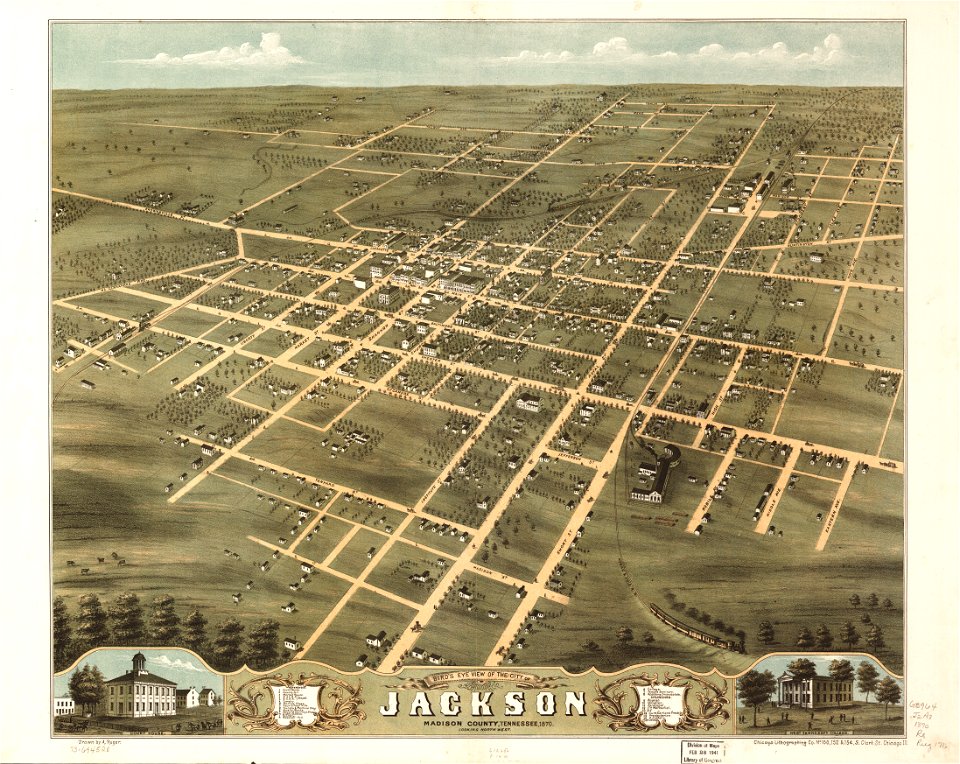
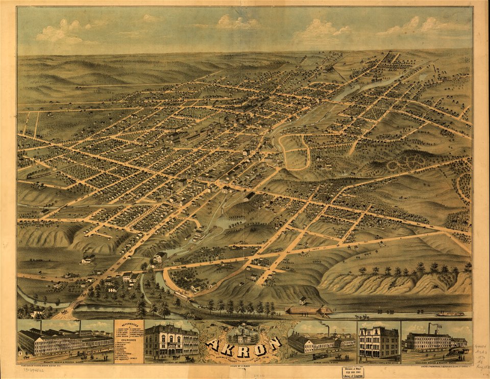
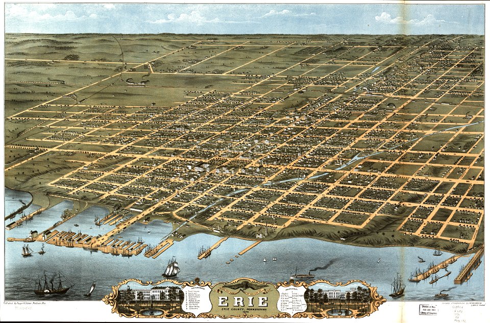
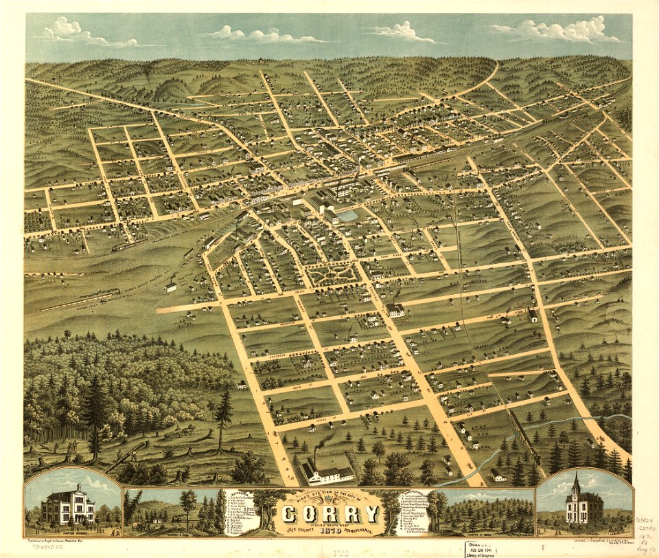
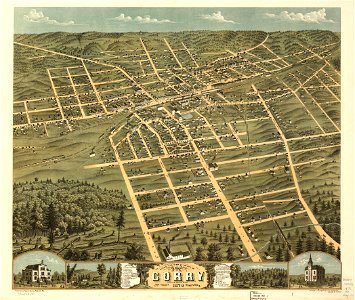
albert ruger
architecture
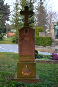
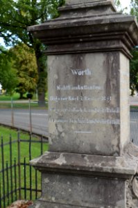
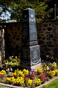
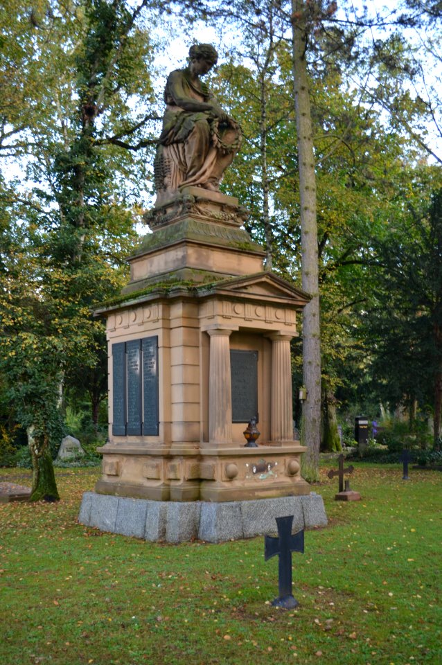
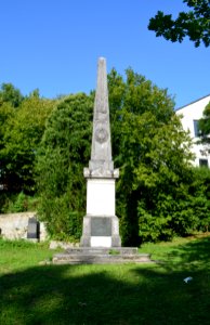
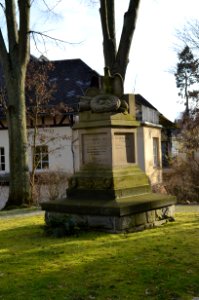
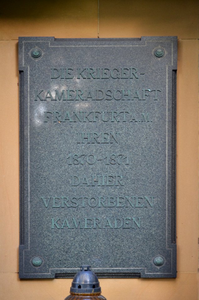
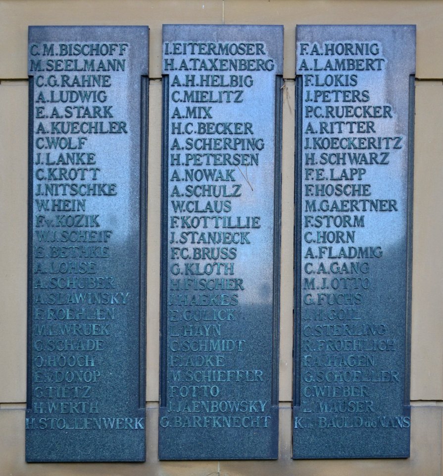
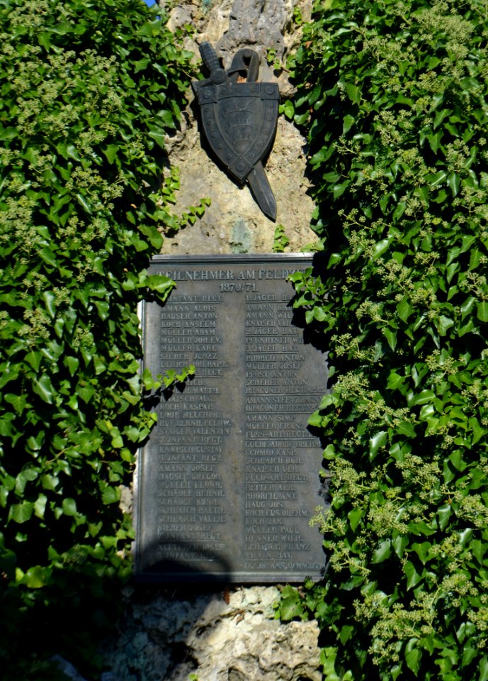
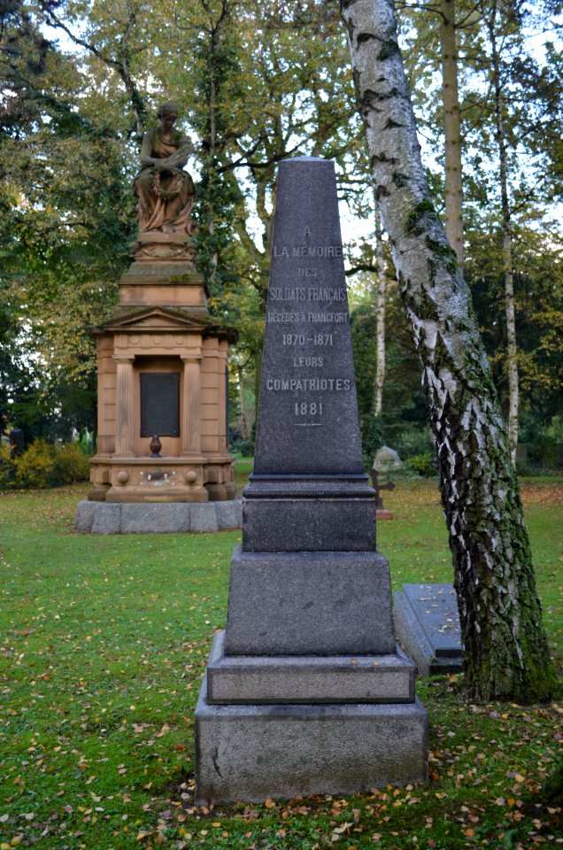
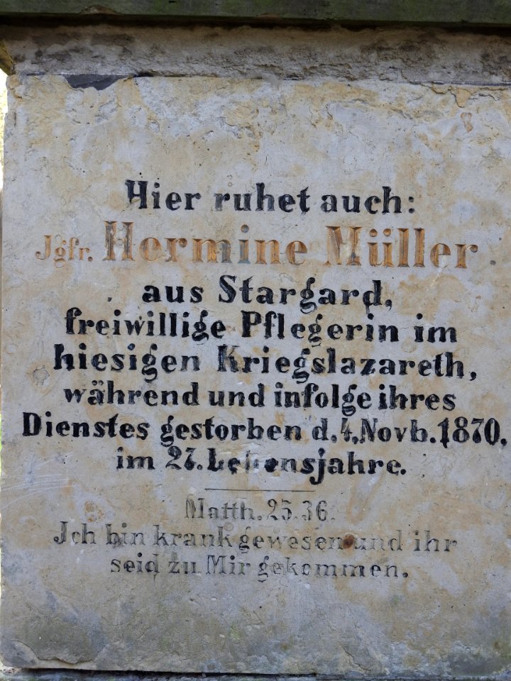
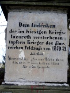
ehrenmal 1870-1871 (südfriedhof, frankfurt am main)
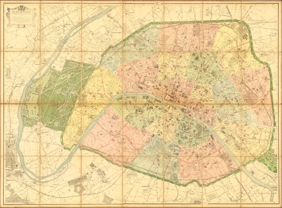
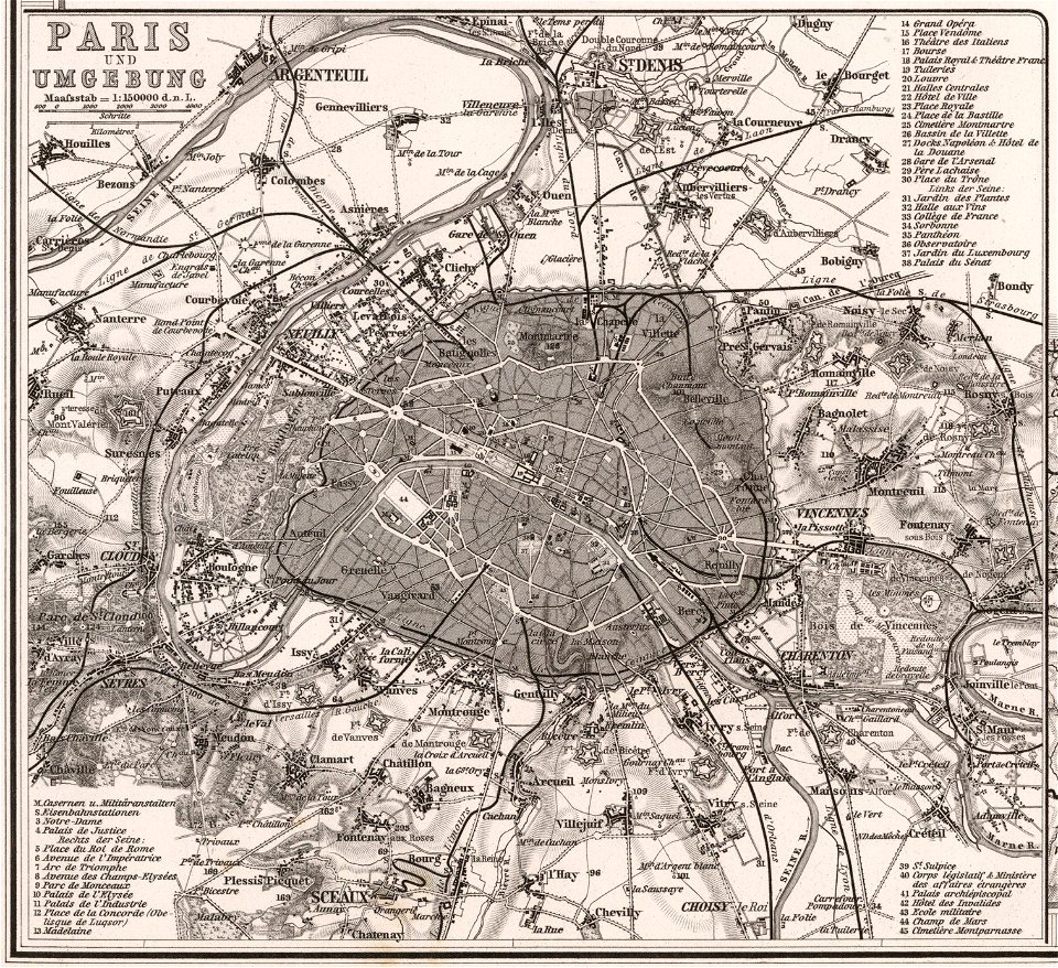
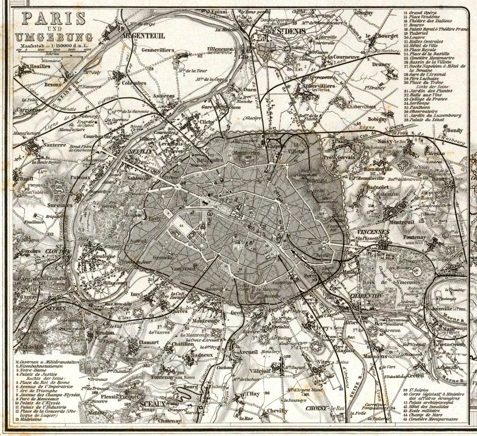
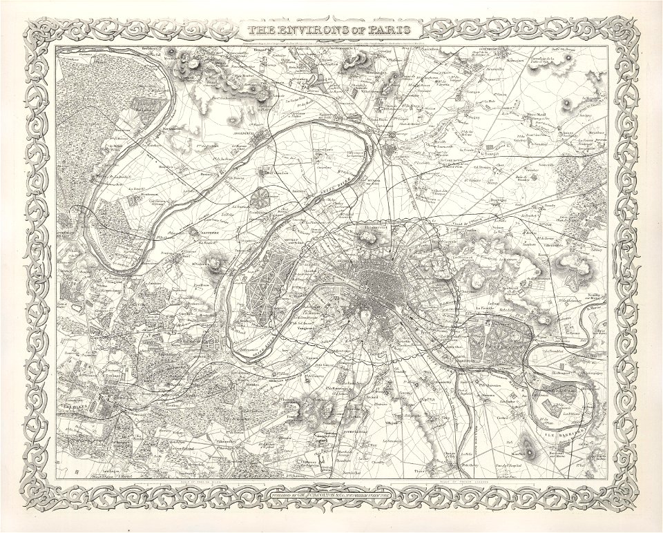
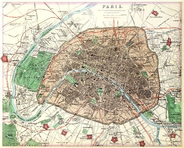
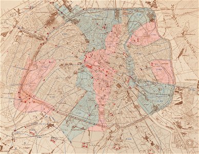
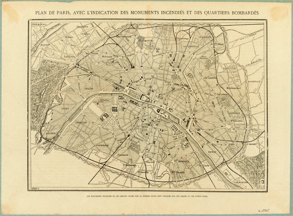
maps of paris in the 1870s
garden
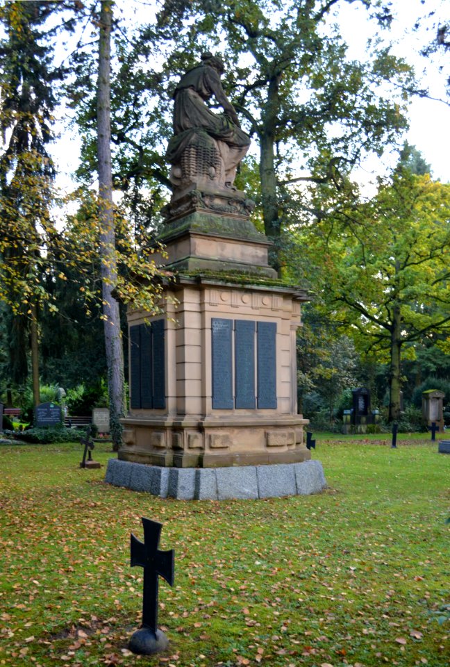
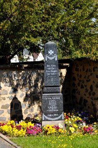
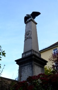
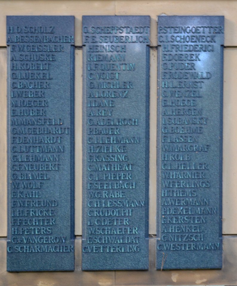
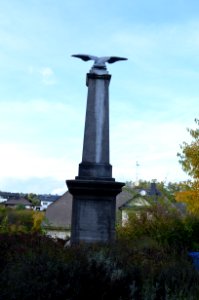
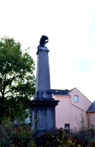
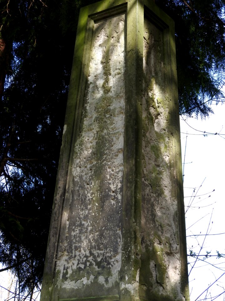
denkmal 1870/71 (alter friedhof greiz)
1870s maps of paris
wooden doors in paris
architecture
self-published work
pages with maps
self-published work
pages with maps
architecture
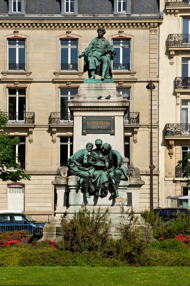
exterior
architecture
facade
19th-century portrait paintings in the musée national du château de versailles
jean-adolphe beaucé
maps of paris from the norman b. leventhal map center
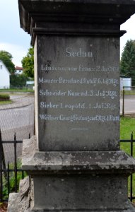
siege of paris, 1870-1871
1870s maps of paris
1870 maps
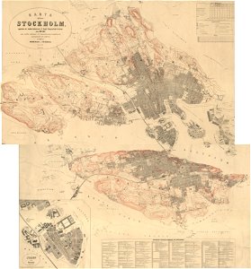
19th-century maps of stockholm
1870 maps
portrait paintings by élisabeth vigée-lebrun (italian royalty)
portraits of children by élisabeth vigée-lebrun
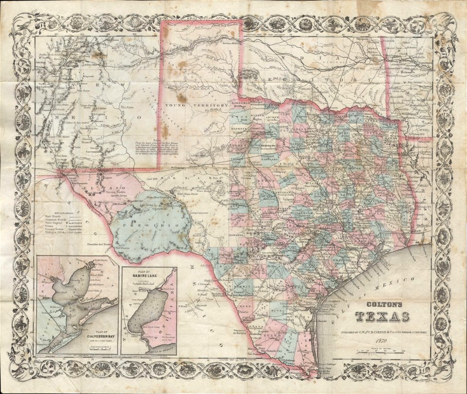
old maps of texas
1870 maps
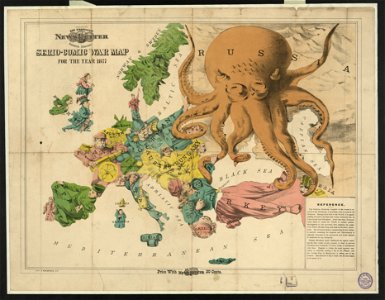
19th-century satirical maps
1870 maps of europe
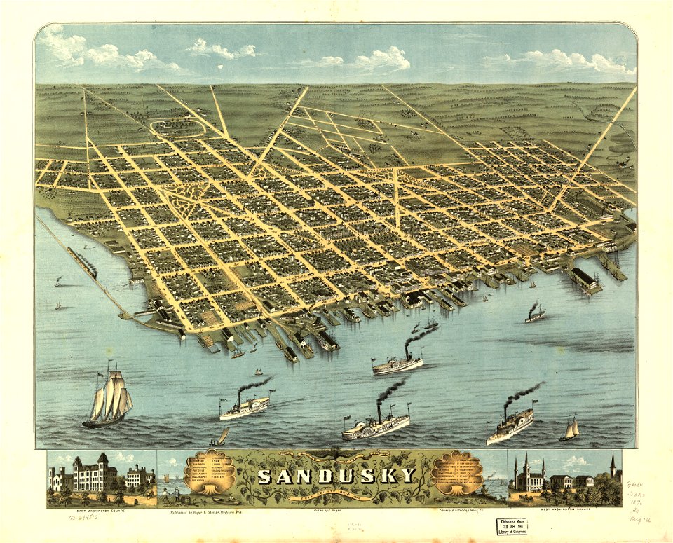
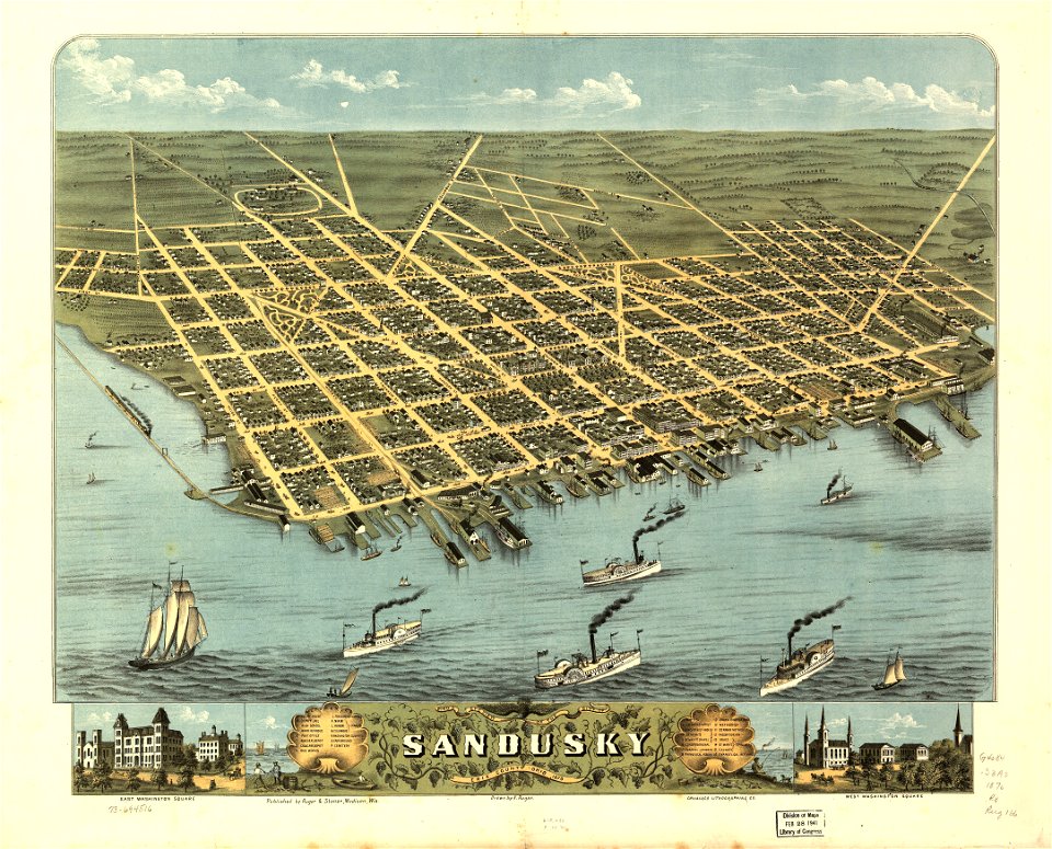
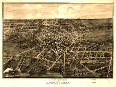
akron
ohio
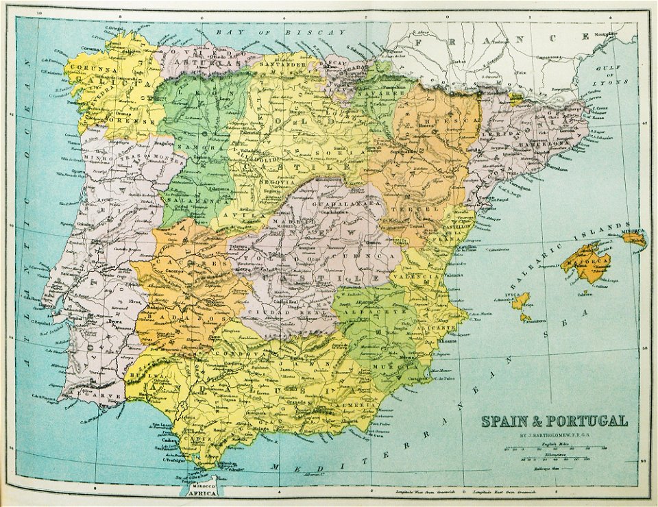
old maps of the iberian peninsula
1870 in spain
maps in the library of congress
ohio
maps in the library of congress
ohio
maps of paris from the david rumsey historical map collection
1873 in paris
maps in the library of congress
albert ruger
maps in the library of congress
albert ruger
old maps of france
1873 in paris
maps in the library of congress
albert ruger
maps in the library of congress
albert ruger
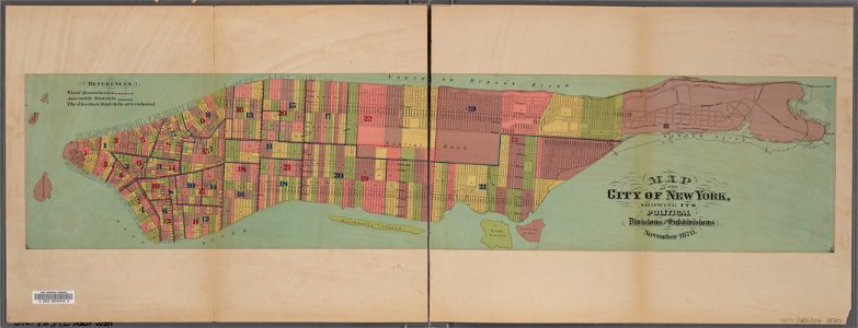
manual of the corporation of the city of new york (1870)
new york city
1870s maps of australia
1879 maps
maps in the library of congress
albert ruger
maps in the library of congress
albert ruger
maps in the library of congress
albert ruger
1874 in paris
1874 maps
maps in the library of congress
albert ruger
maps in the library of congress
albert ruger
maps of paris from the david rumsey historical map collection
1872 maps
self-published work
pages with maps
self-published work
pages with maps
self-published work
pages with maps
self-published work
pages with maps
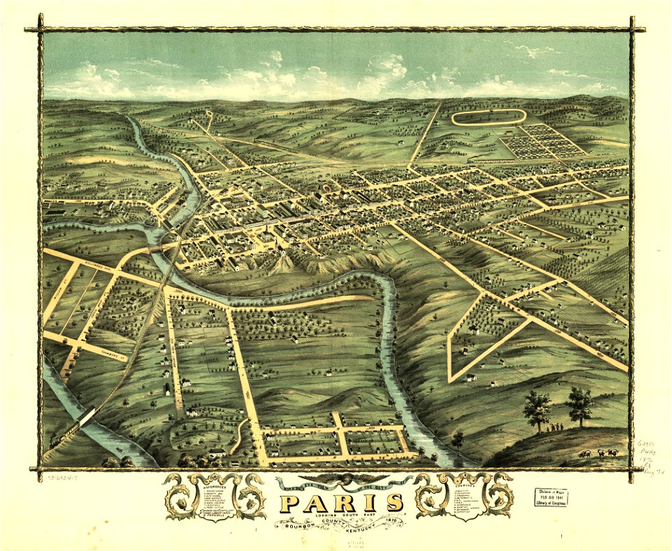
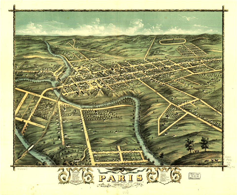
kentucky
paris
kentucky
paris
self-published work
pages with maps
self-published work
pages with maps
self-published work
garden
self-published work
pages with maps
self-published work
pages with maps
self-published work
pages with maps
self-published work
pages with maps
self-published work
pages with maps
self-published work
pages with maps
maps with human or animal shapes
maps in the library of congress
pennsylvania
maps in the library of congress
pennsylvania
maps in the library of congress
pennsylvania
maps in the library of congress
pennsylvania
architecture
garden
self-published work
pages with maps
self-published work
pages with maps
self-published work
pages with maps
self-published work
lawn
self-published work
pages with maps
english-language maps
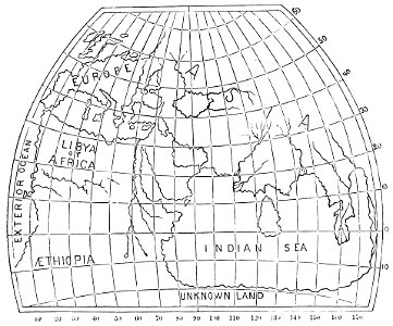
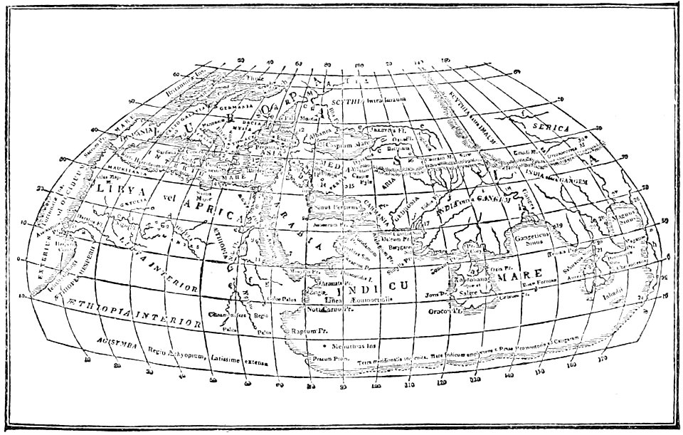
ptolemaic world maps
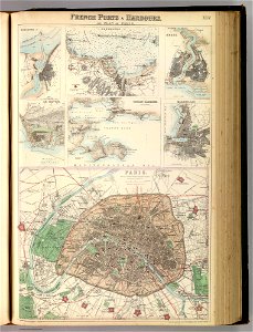
port of cherbourg
france
19th-century satirical maps
europe in the 1870s
self-published work
pages with maps
self-published work
pages with maps
self-published work
pages with maps
1870s maps of the world
latin-language maps
self-published work
pages with maps
self-published work
pages with maps
self-published work
architecture
architecture
garden
self-published work
lawn
self-published work
pages with maps
maps in the library of congress
albert ruger
19th-century satirical maps
1870s maps of the world
maps in the library of congress
albert ruger
self-published work
architecture
self-published work
pages with maps
self-published work
architecture
self-published work
pages with maps
self-published work
pages with maps
self-published work
pages with maps
self-published work
garden
self-published work
pages with maps
self-published work
lawn
self-published work
pages with maps
self-published work
pages with maps
travels and adventures in all parts of the globe (1870)
all round the world: an illustrated record of voyages
garden
lawn
self-published work
garden
architecture
garden
architecture
green
travels and adventures in all parts of the globe (1870)
all round the world: an illustrated record of voyages
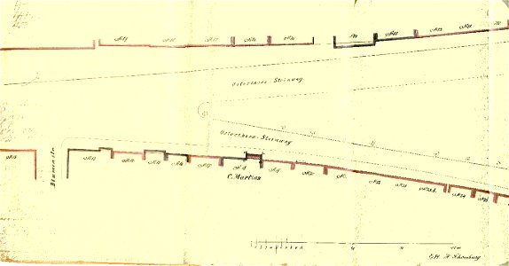
old maps of bremen (state)
bremen in the 1870s
new york
maps
architecture
green
self-published work
pages with maps
self-published work
pages with maps
maps of paris in the 1870s
1871 in paris
maps of paris in the 1870s
1871 in paris
old maps of south africa
boer
ukiyo-e by unknown artists
1870s maps of the world
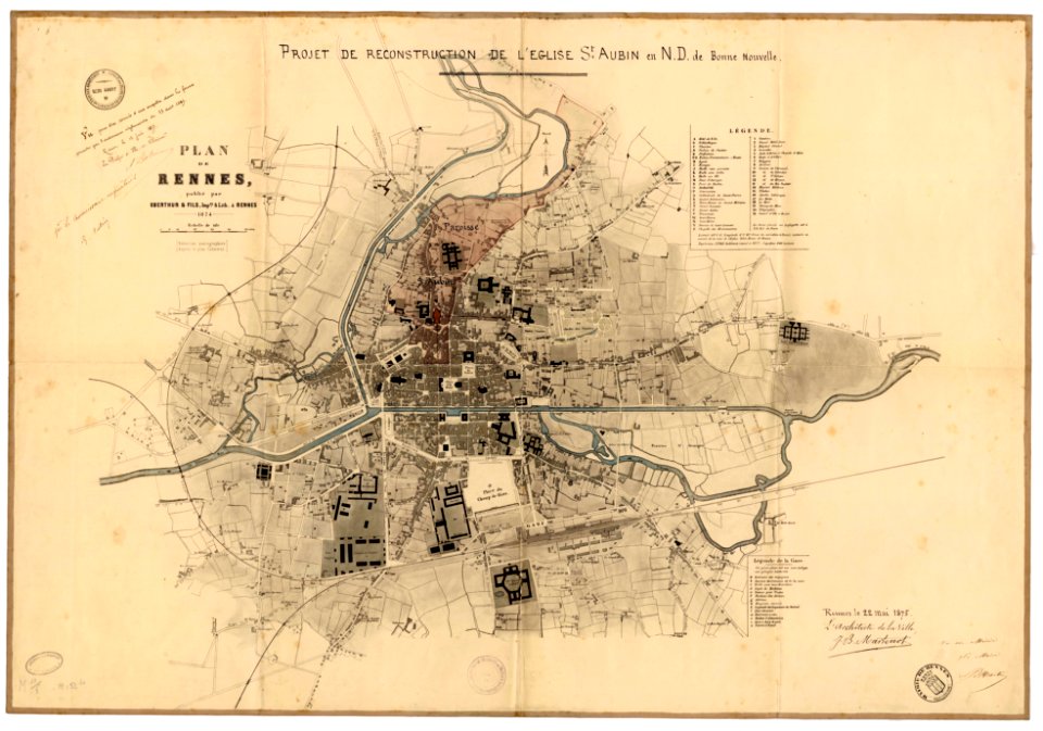
jean-baptiste martenot
1875 maps
1 - 100 of 928
Next page
/ 10