Log in
All resources
Create a design
13 Free Images of 17th Century Maps Of Rotterdam
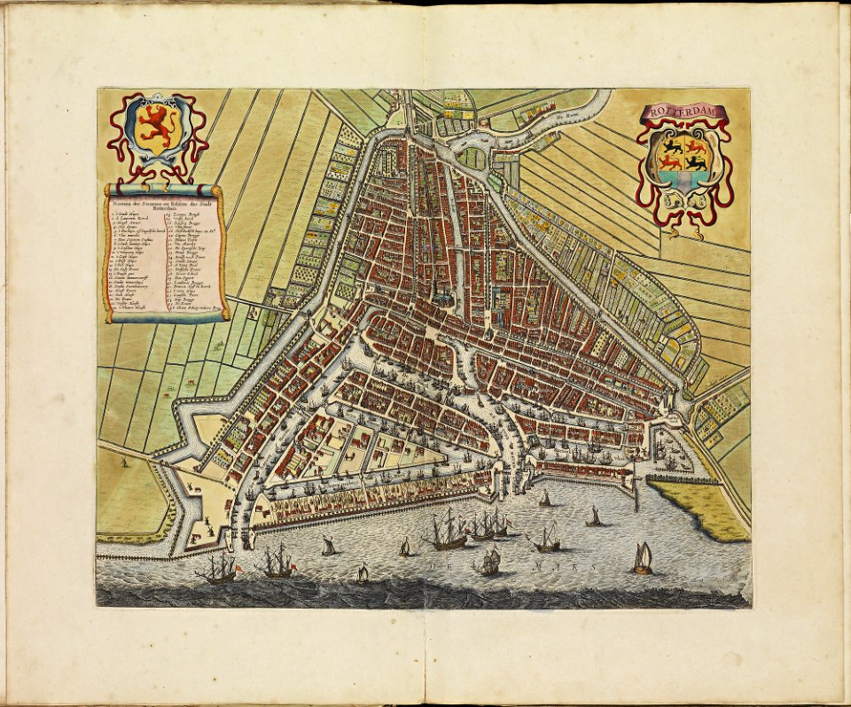
kaart van het hoogheemraadschap van schieland, 1611-1635
floris balthasarsz. van berckenrode
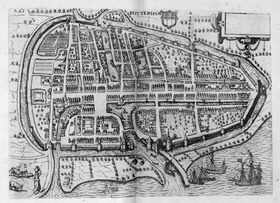
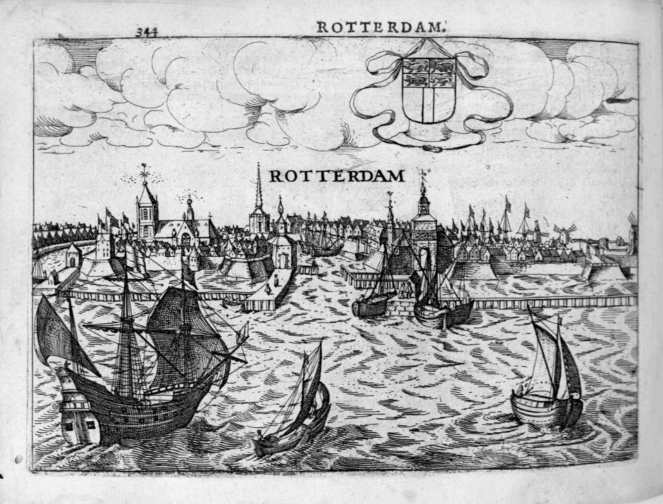
rotterdam in the 17th century
bibliothèque nationale de france
cartography
holland
engraving
holanda
chalcography
grabados
rotterdam in the 17th century
old maps of rotterdam
kaart van het hoogheemraadschap van schieland, 1611-1635
maps of delfshaven
ambrosio spinola, marqués de los balbases
karel bonaventura buquoy
17th-century maps of rotterdam
old maps of delfland
maps of polders in south holland
17th-century maps of rotterdam
maps of rotterdam by braun & hogenberg
maps of delft by braun & hogenberg
kaart van het hoogheemraadschap van schieland, 1611-1635
17th-century maps of rotterdam
kaart van het hoogheemraadschap van schieland, 1611-1635
17th-century maps of rotterdam
maps of rotterdam by berckenrode
baroque
kaart van het hoogheemraadschap van schieland, 1611-1635
17th-century maps of rotterdam
cartography
maps
maps
city
joost van geel
de lier
1 - 13 of 13
/ 1


![Rotterdam / [M. Merian], Matthäus Merian](https://cdn.creazilla.com/illustrations/10000529192/rotterdam-m-merian-matth-us-merian-md.jpg)