Log in
All resources
Create a design
69 Free Images of 1764 Maps
joseph roux
eran laor cartographic collection
bibliothèque nationale de france
carte de la mer mediterranée (1764) by roux
maps in the rijksmuseum amsterdam
atlas géographique des quatre parties du monde (delisle)
maps of lek river
algemeene landsdrukkerij (the hague)
maps by isaak tirion
history of hagestein
anne baptiste nivelon
rococo
carte de france by guillaume delisle (1721)
philippe buache
anne baptiste nivelon
rococo
maps by jacques-nicolas bellin
jacques-nicolas bellin
maps by jacques-nicolas bellin
french-language maps of china
jacques-nicolas bellin
1764 maps
maps by jacques-nicolas bellin
jacques-nicolas bellin
old maps of south africa
table bay
old maps of livorno
anne baptiste nivelon
rococo
maps by jacques-nicolas bellin
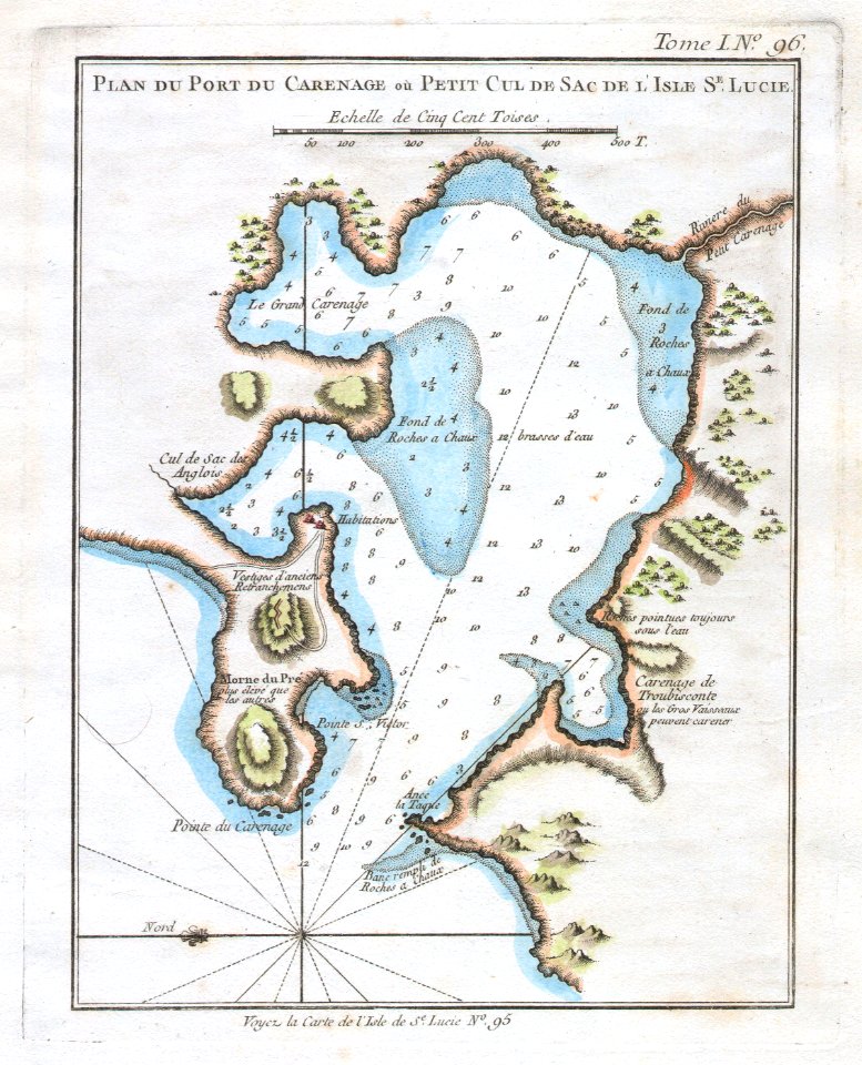
old maps of saint lucia
old maps of edinburgh
maps by john rocque
18th-century maps of tunisia
gulf of tunis
maps of america by guillaume delisle (18th century)
1760s maps of the americas
carte de la mer mediterranée (1764) by roux
eran laor cartographic collection
maps by thomas kitchin
andrew dury
navigantium atque itinerantium bibliotheca
1764 fleurons
maps by thomas kitchin
andrew dury
19th-century portrait paintings in the musée de l'armée
nicolas gosse
1760s maps of the americas
1764 maps
18th-century french nautical charts
historical images of souda bay
pedro murillo velarde
baroque painting
maps of the dutch east india company - indonesia
claudius anthony van luepken
carte de la mer mediterranée (1764) by roux
eran laor cartographic collection
kantharos harbour (piraeus)
maps of piraeus
carte de la mer mediterranée (1764) by roux
eran laor cartographic collection
18th-century french nautical charts
old maps of thessaloniki
carte de la mer mediterranée (1764) by roux
eran laor cartographic collection
carte de la mer mediterranée (1764) by roux
eran laor cartographic collection
carte de la mer mediterranée (1764) by roux
eran laor cartographic collection
carte de la mer mediterranée (1764) by roux
eran laor cartographic collection
maps of barbary coast
old maps of tartary
carte de la mer mediterranée (1764) by roux
eran laor cartographic collection
eran laor cartographic collection
cartouches by joseph roux
eran laor cartographic collection
joseph roux
18th-century french nautical charts
old maps of lesbos
old and new london, illustrated (1873) by walter thornbury and edward walford - bl 1887 copy
maps from the mechanical curator collection
confluence of the huai and yellow rivers (xu yang)
xu yang
1771 maps of africa
monomotapa
carte de la mer mediterranée (1764) by roux
eran laor cartographic collection
chinese paintings in the metropolitan museum of art
entering suzhou and the grand canal
carte de la syrie by guillaume delisle (1764)
bibliothèque nationale de france
1771 maps of asia
andrew dury
atlas géographique des quatre parties du monde (delisle)
18th-century double hemisphere world maps
18th-century french nautical charts
old maps of lemnos
19th-century portrait paintings in the musée de l'armée
nicolas gosse
eran laor cartographic collection
thomas kitchin
maps from university of amsterdam special collections
atlas der neederlanden
atlas géographique des quatre parties du monde (delisle)
18th-century maps of africa
atlas géographique des quatre parties du monde (delisle)
map of europe by guillaume delisle (1700)
atlas géographique des quatre parties du monde (delisle)
folded maps
atlas géographique des quatre parties du monde (delisle)
folded maps
atlas géographique des quatre parties du monde (delisle)
18th-century maps of the world
atlas géographique des quatre parties du monde (delisle)
map of italy by guillaume delisle (1700)
maps from university of amsterdam special collections
atlas der neederlanden
maps in the rijksmuseum amsterdam
maps of lek river
maps in the rijksmuseum amsterdam
maps of lek river
maps in the rijksmuseum amsterdam
maps of lek river
maps in the rijksmuseum amsterdam
maps of lek river
maps in the rijksmuseum amsterdam
maps of lek river
atlas géographique des quatre parties du monde (delisle)
map of scandinavia by guillaume de l'isle (1706)
atlas géographique des quatre parties du monde (delisle)
map of scandinavia by guillaume de l'isle (1706)
maps in the rijksmuseum amsterdam
maps of lek river
maps in the rijksmuseum amsterdam
maps of lek river
françois harrewijn
rubenshuis in art
christian benjamin glassbach
matthias oesterreich
maps in the rijksmuseum amsterdam
joris hoefnagel - map of antwerp
pompa introitus ferdinandi austriaci, hispaniarum infantis etc. in urbem antverpiam
prints by theodoor van thulden in the rijksmuseum amsterdam
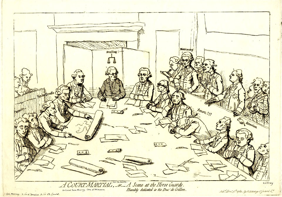
prints by james gillray in the british museum
satirical prints in the british museum
1 - 69 of 69
/ 1


![Carte particuliére de l'Isle d'Amboine / J. V. Schley direct, Jakob van der Schley, [1763]](https://cdn.creazilla.com/illustrations/10000789471/carte-particuli-re-de-l-isle-d-amboine-j-v-schley-direct-jakob-van-der-schley-1763-md.jpg)