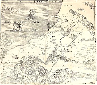
Cranach israel map, Lucas Cranach the Elder, from 1508 until 1515
A map of israel by cranach. The map describe events from the bible: the exodus, sodom and gomorrah and moses on mount sinai. Date: from 1508 until 1515. Collection: National Library of Israel.