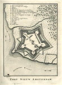
Map of Nieuw Amsterdam fort, Jakob van der Schley, circa 1770
This is a photo of a monument in suriname identified by the id. Date: circa 1770. Dimensions: height: 16 cm (6.2 in); width: 22 cm (8.6 in). Medium: engraving on paper. Collection: Koninklijke Bibliotheek. AMH-6914-KB Map of Nieuw Amsterdam fort