Log in
All resources
Create a design
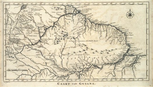
Map of Guiana, Jakob van der Schley, circa 1770
Map of guiana. Caart van guiana. A christal myn lies on the essequebo river. Date: circa 1770. Dimensions: height: 41.5 cm (16.3 in); width: 24 cm (9.4 in). Medium: engraving on paper. Collection: Koninklijke Bibliotheek. AMH-6912-KB Map of Guiana
Download
Edit image
Published by:
Creazilla
Author:
Jakob van der Schley
Source:
commons.wikimedia.org
Loading...
0 downloads
Print it
Copy image
Loading...
maps of the west-indische compagnie
1770 maps
old maps of the guianas
maps by jakob van der schley
engraving on paper
koninklijke bibliotheek
jakob van der schley
MORE LIKE THIS