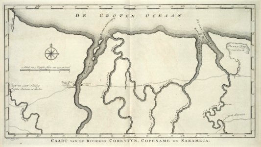
Map of the rivers of Corentyn, Copename and Sarameca, Jakob van der Schley, circa 1770
Map of the rivers of corentyn, copename and sarameca. Caart van de rivieren corentyn, copename en sarameca. To the right of the chart swamp duyvelsbroek. -. Date: circa 1770. Dimensions: height: 41 cm (16.1 in); width: 23 cm (9 in). Medium: engraving on paper. Collection: Koninklijke Bibliotheek. AMH-6913-KB Map of the rivers of Corentyn, Copename and Sarameca