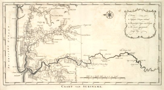
Map of surinam. Caart van suriname. Key: *. Posten / a. Weglopers dorpen verbrand. / b. Bevreedigde negers van tempati. / c. De groote geprojecteerde oranje weg. Date: circa 1770. Dimensions: height: 41 cm (16.1 in); width: 22.5 cm (8.8 in). Medium: engraving on paper. Collection: Koninklijke Bibliotheek. AMH-6916-KB Map of Surinam