Log in
All resources
Create a design
643 Free Artworks of Straits
oil on canvas
bibliothèque nationale de france
engraving
photographs by edward sheriff curtis
silver
university of washington
grabados
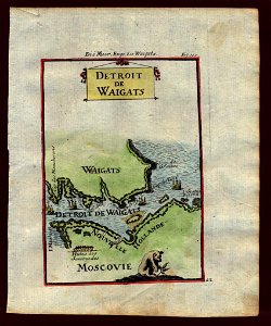
maps of the magellan straits by lambert cornelis
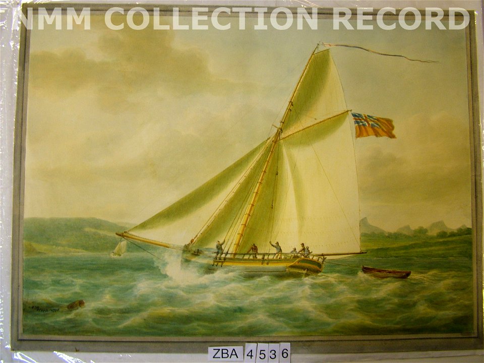
national maritime museum
libros del siglo xix
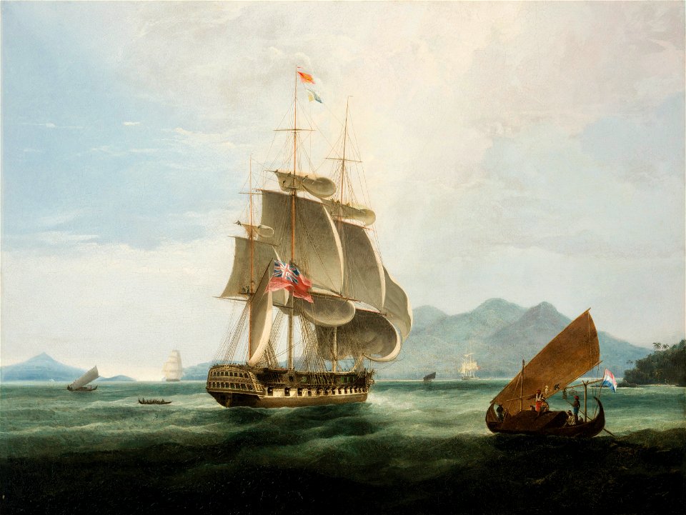
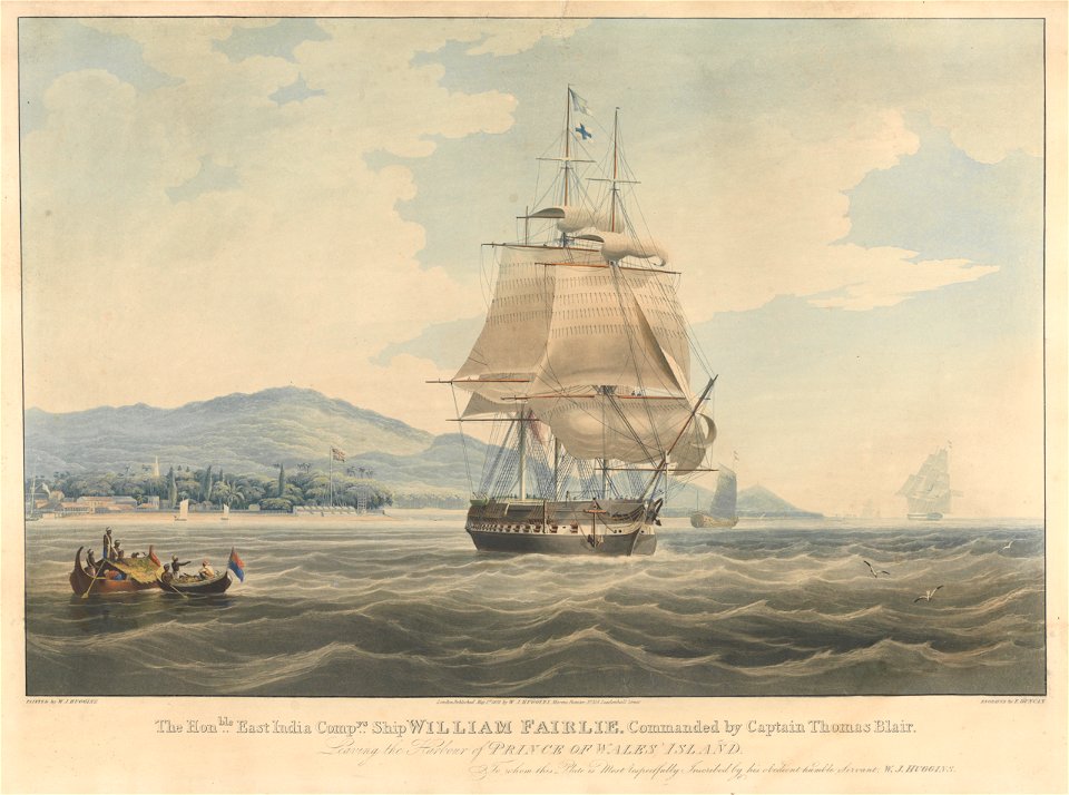
william john huggins
oil on canvas
landscape paintings in the finnish national gallery
realism
map of the bosphorus strait by guillaume sanson (1665)
bibliothèque nationale de france
mappa fluminis dicti vulgo beldt, cum omnibus littoralibus oris, limitibus, situsque terrarum vulgo dictarum lalandiae usque ad stephani caput - lucas ioanß wagenaer inventor ; ioannes à doetecum fecit - btv1b53235834g
bibliothèque nationale de france
mappa fluminis dicti vulgo beldt, cum omnibus littoralibus oris, limitibus, situsque terrarum vulgo dictarum lalandiae usque ad stephani caput - lucas ioanß wagenaer inventor ; ioannes à doetecum fecit - btv1b53235834g
bibliothèque nationale de france
mappa fluminis dicti vulgo beldt, cum omnibus littoralibus oris, limitibus, situsque terrarum vulgo dictarum lalandiae usque ad stephani caput - lucas ioanß wagenaer inventor ; ioannes à doetecum fecit - btv1b53235834g
bibliothèque nationale de france
atlas sive cosmographicae (gerardus mercator, 1607)
maps of the magellan straits by lambert cornelis
sint-katelijnevest (antwerpen)
drawings by jozef linnig
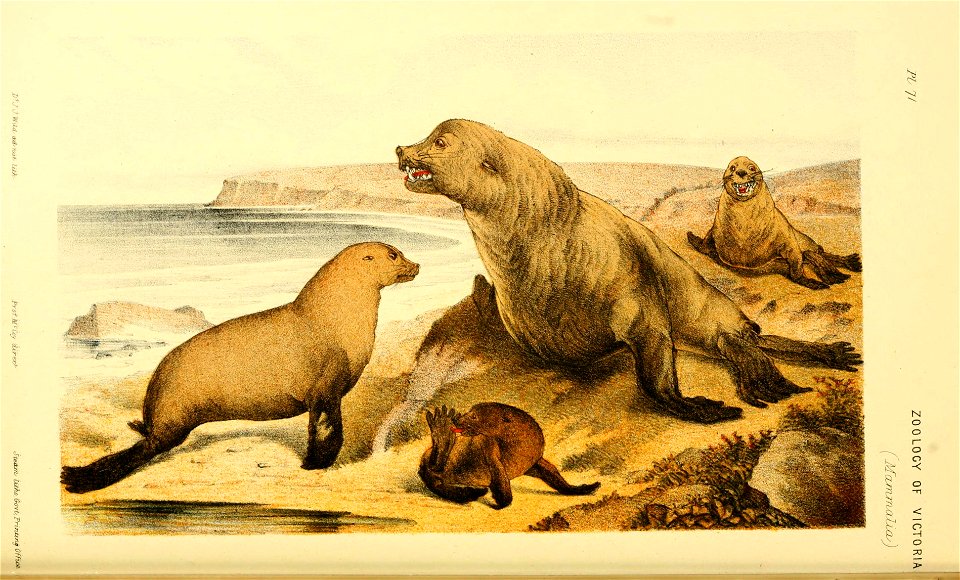
transactions of the philosophical institute of victoria, volume 1
bass strait
dutch and flemish renaissance painting,northern renaissance
drawings of reggio calabria
1860s maps of china
1863 maps of asia
maps of the magellan straits by lambert cornelis
atlas minor gerardi mercatoris (1621, maps)
media from atlas of mutual heritage on dutch east india company
1665
john curtis (entomologist)
thomas graves (naturalist)
oil marine paintings by vilhelm melbye
romanticism
oil marine paintings by anton melbye
1845 paintings from denmark
charles william wyllie
the graphic 1888
exploration of australia
possession island
prints by henry nielsen (painter) in the statens museum for kunst
drypoint
art of japan in the museum of fine arts, boston
utagawa school,kasei culture,ukiyo-e
landscape paintings by ferdinand georg waldmüller
1844 landscape paintings
prints by carl locher in the statens museum for kunst
skagen painters
curt teich postcard archives, detroit publishing company
fort mackinac
curt teich postcard archives, detroit publishing company
fort mackinac
dutch and flemish renaissance painting,northern renaissance
wolf-dietrich-klebeband städtebilder
the outing magazine, 1909
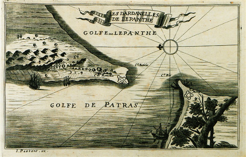
strait of messina
paintings by ivan aivazovsky
romanticism
eran laor cartographic collection
pierre mortier
prints by pierre-paul prud'hon
pierre-joseph bernard
voyage pittoresque autour du monde (1822) by louis choris
point reyes national seashore
setsugekka (snow, moon and flowers) - untitiled triptych by utagawa hiroshige
utagawa school,kasei culture,ukiyo-e
sixteen views of places in the persian gulph, taken in the years 1809-10
prints in the national maritime museum, london
paintings of ships by vilhelm arnesen
1894 marine paintings from denmark
paintings by dankvart dreyer
danish golden age
sixteen views of places in the persian gulph, taken in the years 1809-10
prints in the national maritime museum, london
paintings by josé garcía hidalgo in the museo del prado
paintings of saint francis of paola in spain
atlas sive cosmographicae (gerardus mercator, 1630)
maps of the magellan straits by lambert cornelis
historical images of george town
william john huggins
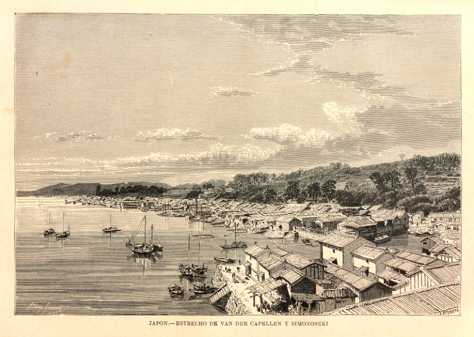
paintings of the bombardment of shimonoseki
jacob eduard van heemskerck van beest
australia
victoria
atlas sive cosmographicae (gerardus mercator, 4th edition 1613)
maps of the magellan straits by lambert cornelis
19th-century sailing ships in paintings
john ward (painter)
eran laor cartographic collection
isaak tirion
prints, drawings and watercolours of the royal museums greenwich
1798 in art
old maps of the bay of gibraltar
18th-century maps of gibraltar
john ward (painter)
davis strait
description de l'universe
northern europe
sixteen views of places in the persian gulph, taken in the years 1809-10
prints in the national maritime museum, london
old maps of the strait of gibraltar
a school geography (1898) by bird
photographs by edward sheriff curtis
provideniya bay
the illustrated london news 1893
paul naumann (engraver)
the british monarchy (1743)
maps in the british museum
marine paintings in the musée national de la marine de paris
théodore gudin
agustín esteve
oil on canvas
john curtis (entomologist)
thomas graves (naturalist)
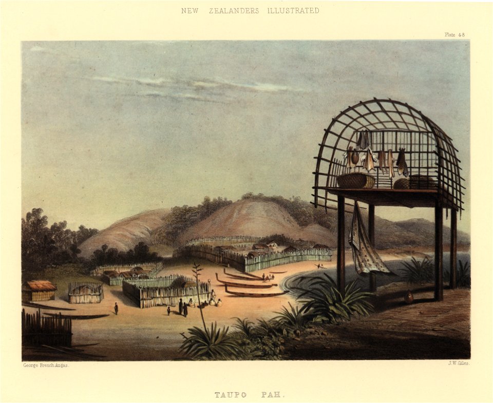
the new zealanders illustrated
george french angas
photographs in the state library of victoria
tararua (ship, 1864)
19th-century paintings from denmark
paintings by claus anton kølle
john ward (painter)
arctic in art
maps of the magellan straits by lambert cornelis
atlas minor gerardi mercatoris (1614, maps)
19th-century maps of the black sea
g. h. swanston
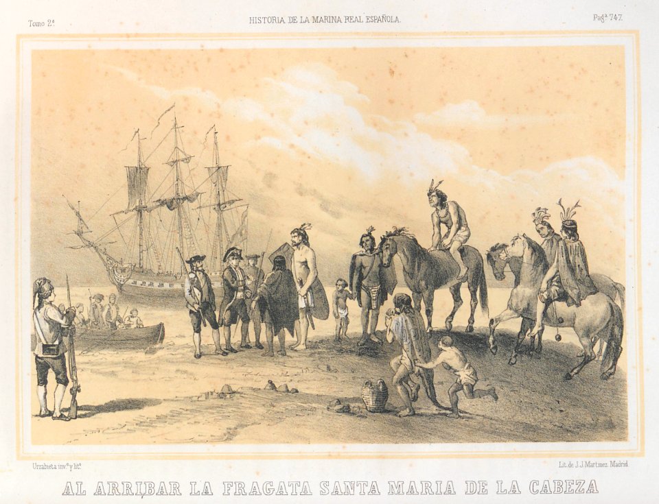
argentina
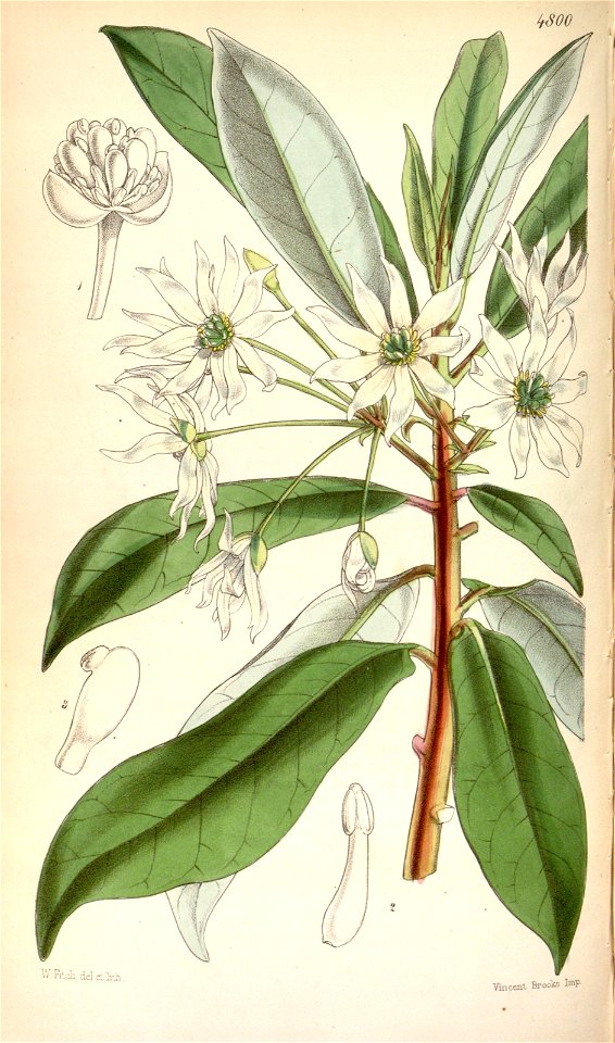
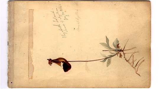
flower
paintings by jacob eduard van heemskerck van beest in the rijksmuseum amsterdam
jacob eduard van heemskerck van beest
description des principales villes (1690)
rio achaias
unidentified botanical illustrations
beagle sketchbook i
viaggio nella grecia fatto da simoni pomardi negli anni 1804, 1805, e 1806 (pomardi)
strait of rio
travel
japan
nativity
sea
paintings by jacob eduard van heemskerck van beest in the rijksmuseum amsterdam
battle of shimonoseki straits
old maps of the bay of gibraltar
18th-century maps of gibraltar
maps of hormuz by braun & hogenberg
hebrew university of jerusalem
the new zealanders illustrated
fish drying in oceania
book pages in the rijksmuseum amsterdam
romanticism
canada-united states border
esquimalt harbour
admiralty charts region b: england wales ireland english channel southern north sea
admiralty charts 1401-1600
sixteen views of places in the persian gulph, taken in the years 1809-10
prints in the national maritime museum, london
prints by georg haas (engraver) in the statens museum for kunst
color aquatint
maps by pieter mortier
maps from gallica
1900s political cartoons of the united states
columbia (ship, 1880)
atlas van der hagen (volume 2)
atlas van der hagen
maps from the earth and its inhabitants, vol. xiv
1890s maps of indonesia
flag
boat
nativity
official
photographs by edward sheriff curtis
waterfronts in alaska
cartouches by joseph roux
cartouche (cartography)
photographs by grove karl gilbert
kodiak island (historical images)
prints, drawings and watercolours of the royal museums greenwich
william john huggins
photographs by edward sheriff curtis
pacific ocean
clinton hart merriam
kayaks
photographs by edward sheriff curtis
pacific ocean
provideniya bay
inuit houses
prints, drawings and watercolours of the royal museums greenwich
william john huggins
maps of the history of morocco
empire of morocco
drawings in the yale center for british art
john vanderbank
paintings in the national maritime museum, london
bartolomeo nazari
travel
maps
marine
boat
photographs by edward sheriff curtis
vernacular architecture
18th-century maps of the mediterranean sea
1745 maps
photographs by edward sheriff curtis
sextants
301 - 400 of 643
Next page
/ 7