Log in
All resources
Create a design
155 Free Artworks of Maps Of Australia
maps in the national library of australia
australia (1873) by booth
world map
old maps of australia
vintage maps
old map
poster
maps from the mechanical curator collection
1870s maps of australia
maps connecting australia and new guinea
135th meridian east
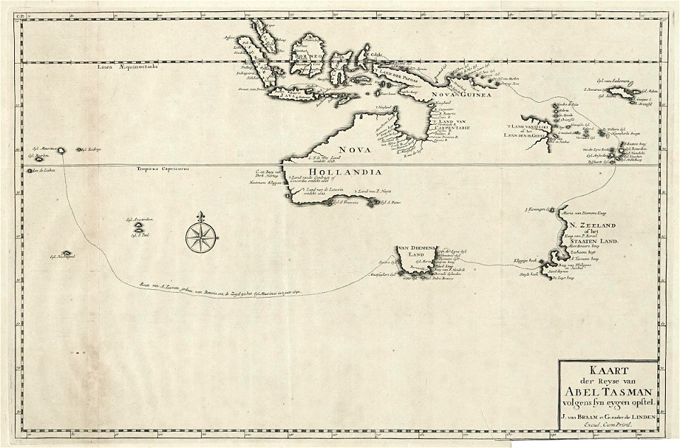
tasman map
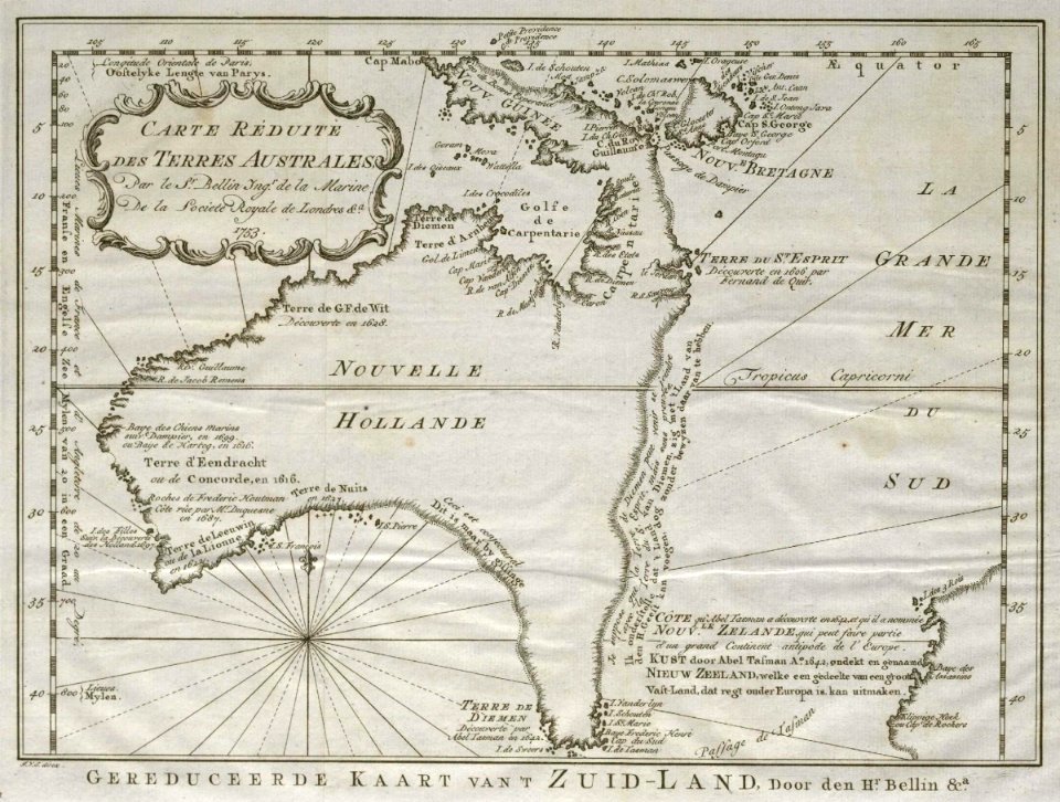
a voyage to terra australis
1814 engravings
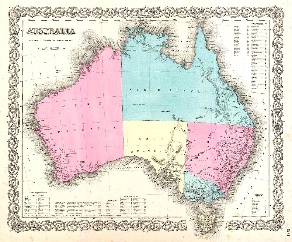
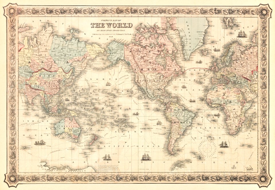
maps by joseph hutchins colton
old maps of australia
1870s maps of australia
1879 maps
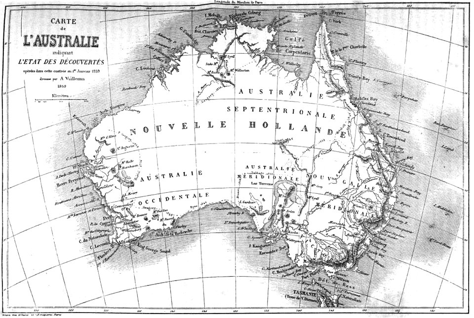
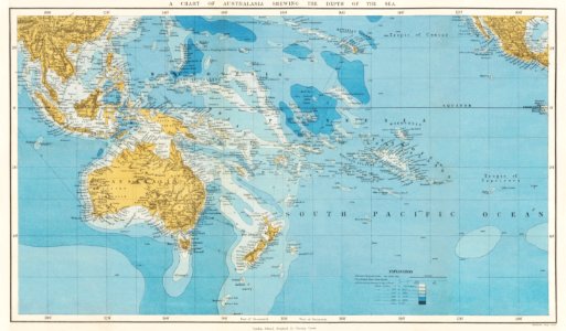
old maps of the history of oceania
english-language maps
old maps of australia
western australia
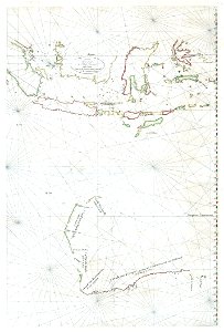
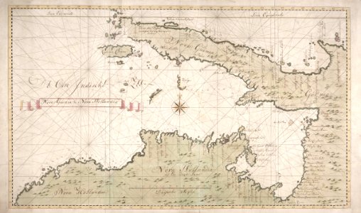
old maps of the dutch east india company
1730s
english-language maps
1776 maps
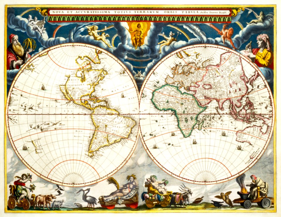
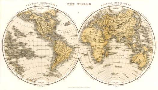
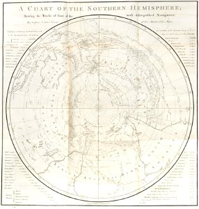
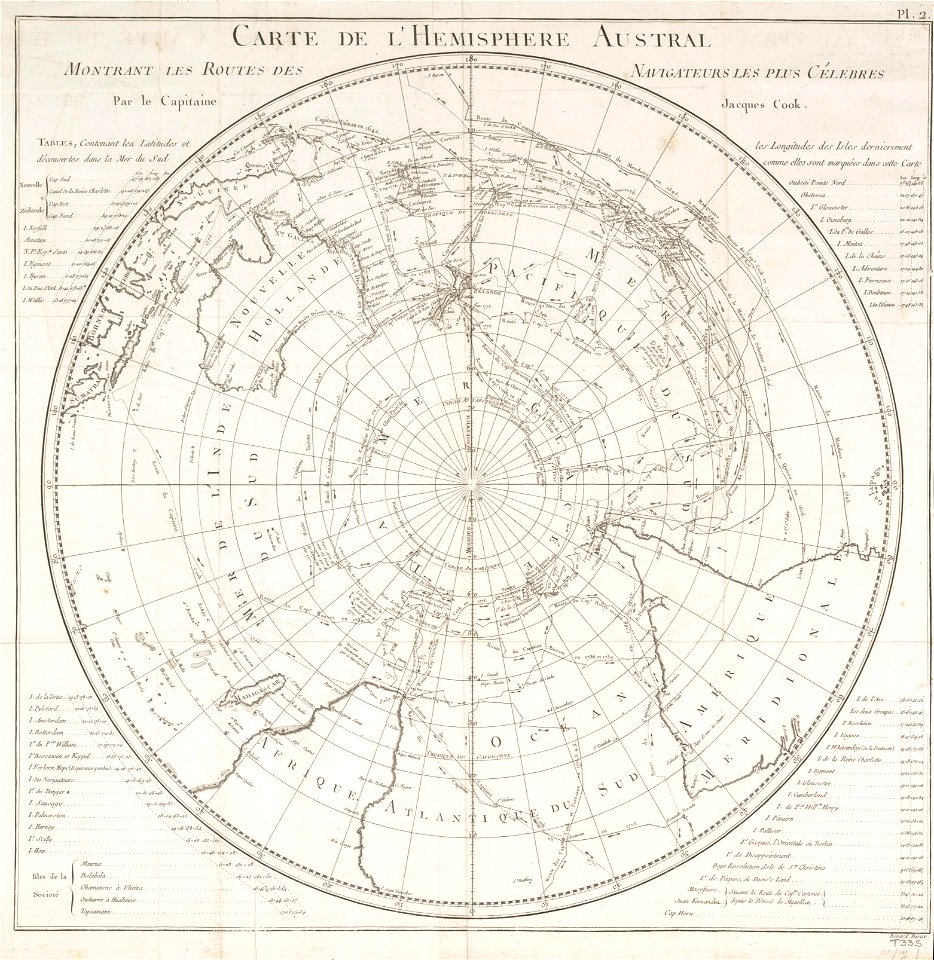
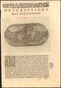
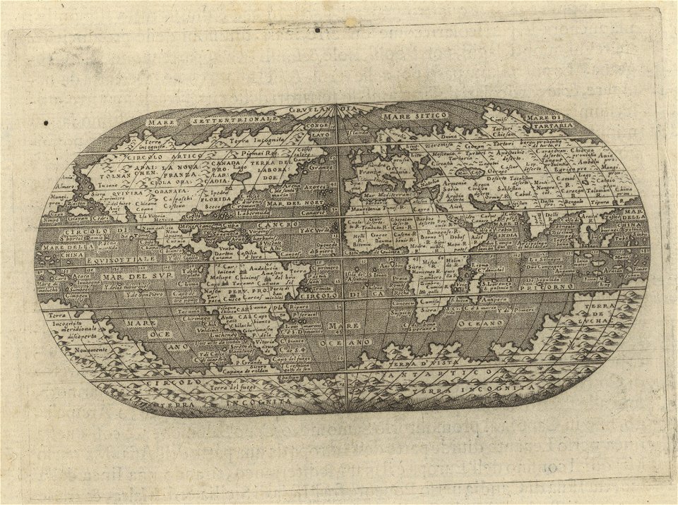
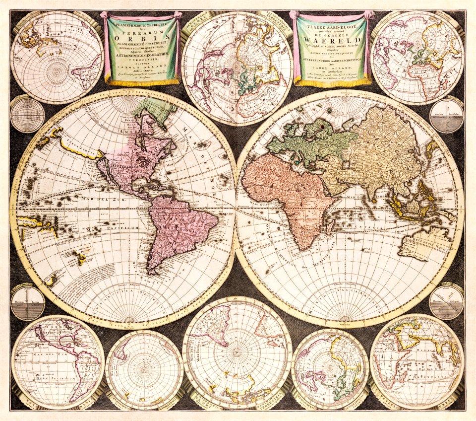
old maps of earth's hemispheres
french-language maps
new holland (australia)
1720s
old maps of the dutch east india company
1757 maps
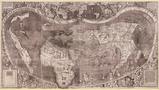
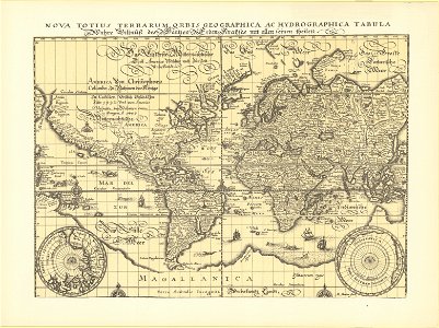
1500s maps of the world
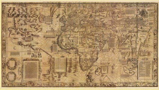
waldseemüller map
old maps of australia
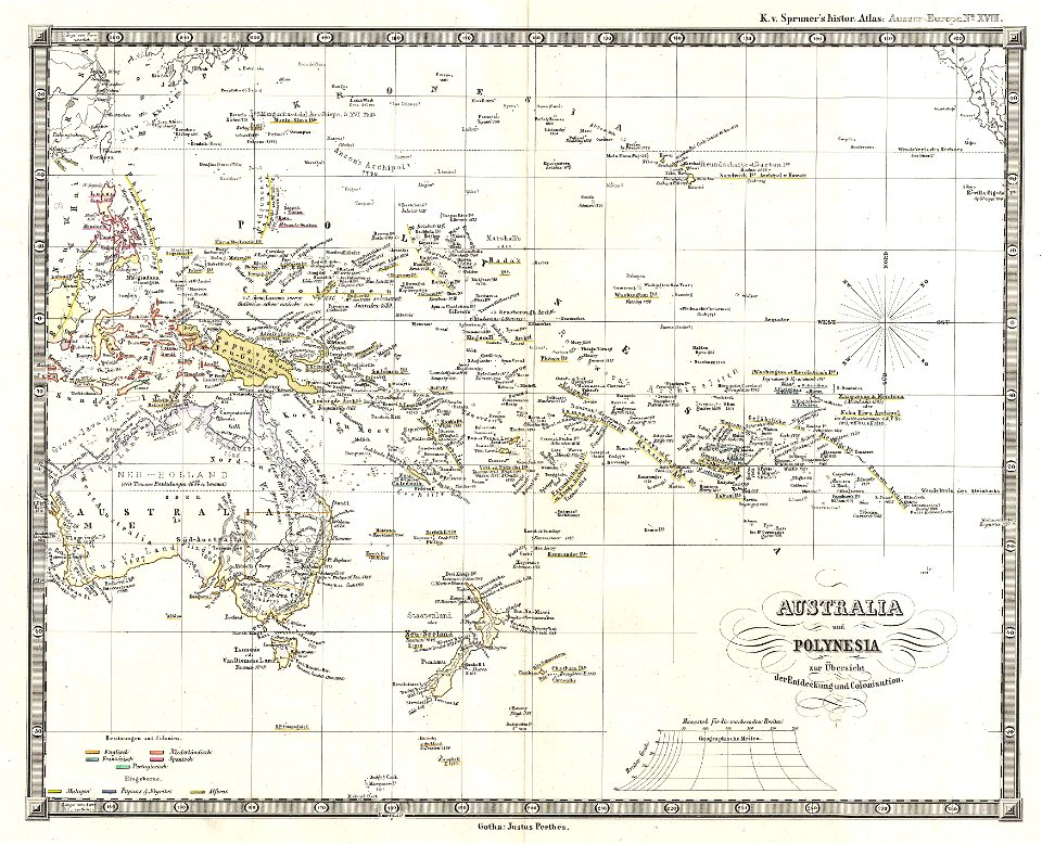
karl spruner von merz
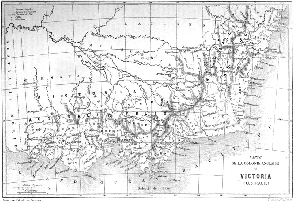
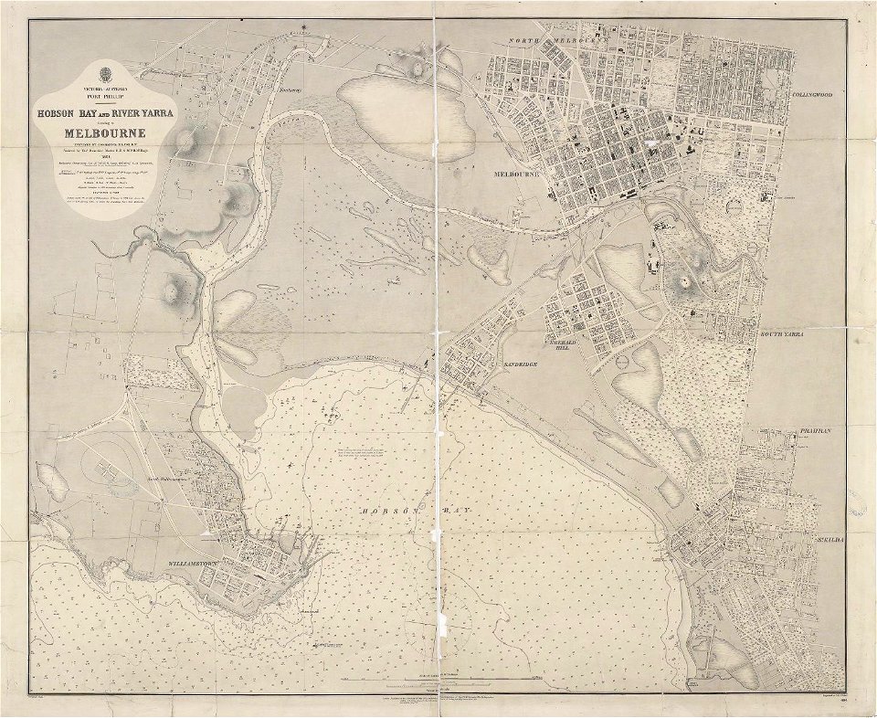
maps of melbourne
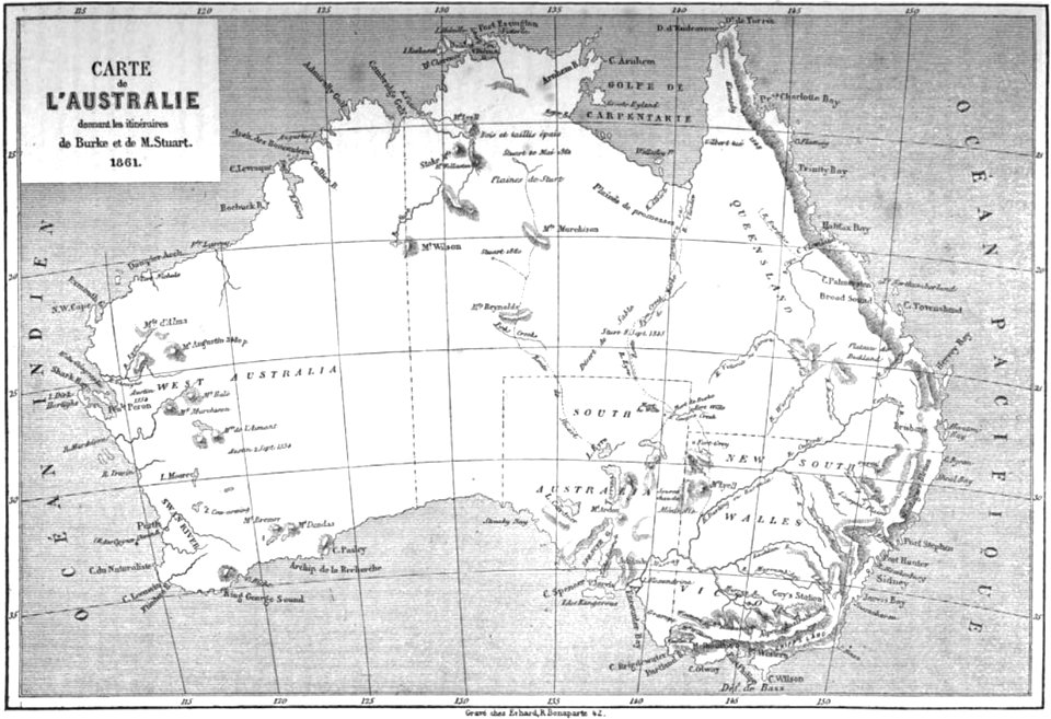
australia
maps by martin waldseemüller
1510s maps of the world
maps in the national library of australia
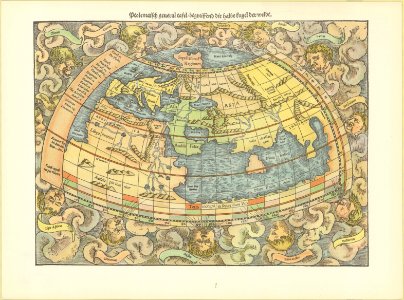
maps by sebastian münster
maps
sea
maps in the national library of australia
1572 maps
maps in the national library of australia
matthäus merian
maps in the national library of australia
1572 maps
maps in the national library of australia
maps of the sea of marmara
1753
maps in the national library of australia
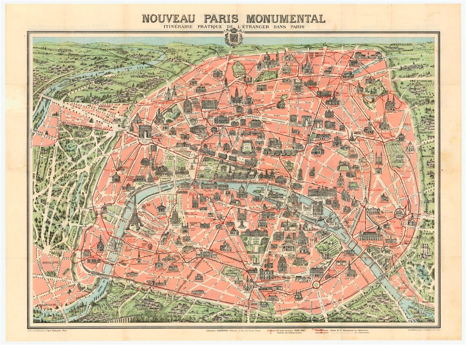
nouveau paris monumental by dufour
australia
maps
20th-century satirical maps
italian-language maps
paintings in the art gallery of south australia
old map
australia
maps
maps in the national library of australia
claes jansz. visscher (ii)
africa
maps
old maps of the dutch east india company
1775
australia
maps
australia
maps
australia
maps
maps in the national library of australia
french-language maps
australia
maps
maps in the national library of australia
french-language maps
australia
maps
volume 3 of le tour du monde
old maps of australia
maps by alexandre vuillemin
old maps of australia
old maps of australia
maps with cartouches
australia
maps
old maps of india
old maps of japan
old maps of australia
old maps of asia
australia
maps
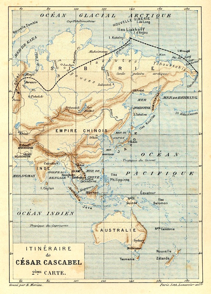
illustrations from césar cascabel by george roux
césar cascabel
australia
maps
ocean
maps
abel tasman
1724 maps
old maps of austria-hungary
austro-hungarian army
maps in the national library of australia
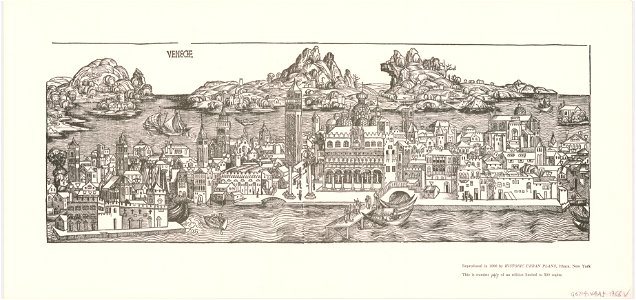
venice in art
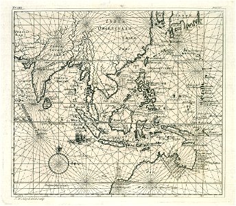
18th-century maps of indonesia
maps of new guinea
volume 5 of le tour du monde
old maps of australia
history of french polynesia
islands in art
birds in art of france
lions in art
port jackson
sydney cove
printing
1848
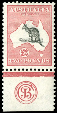
definitive stamps of australia
1929 stamps of australia
1640s maps of the world
1660s maps of the world
maps by guillaume delisle
philippe buache
maps of aboriginal australia
old maps of new south wales
maps from the mechanical curator collection available to georeference
maps from the mechanical curator collection
1650s maps of the world
age of discovery
18th-century maps of the indian ocean
18th-century maps of southeast asia
17th-century maps of the malay archipelago
archipelagus orientalis
18th-century double hemisphere world maps
1720s maps of the world
maps from the mechanical curator collection
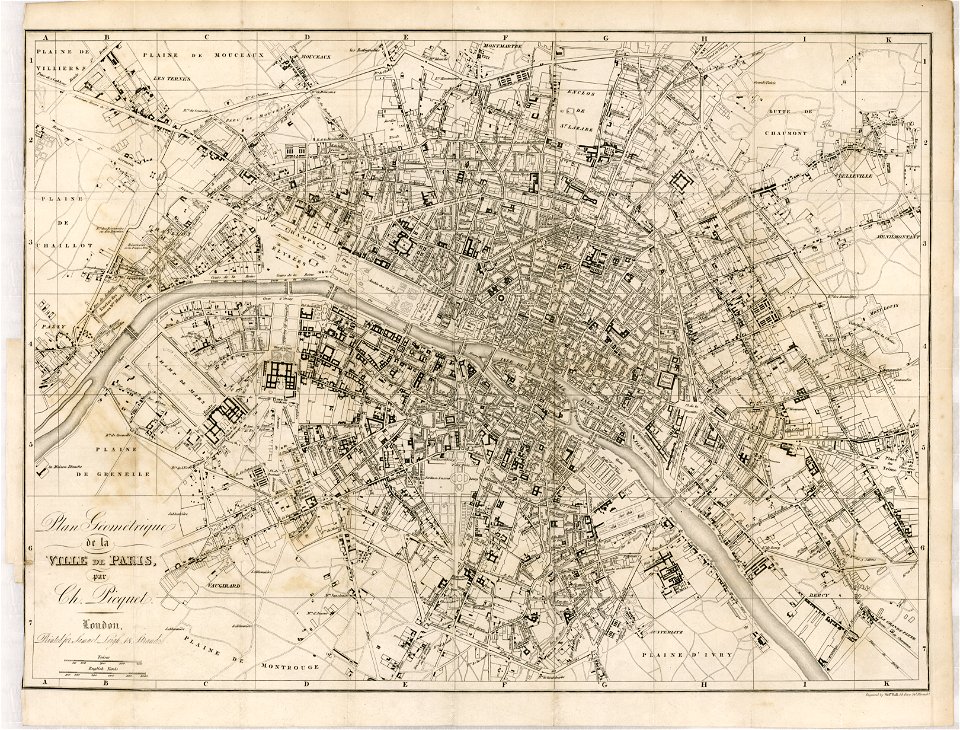
australia (1873) by booth
maps by john cary
1806 maps of asia
maps by jakob van der schley
1753 maps
maps from the mechanical curator collection
australia (1873) by booth
maps by girolamo porro
leonardo cernoti
maps of the world with orthographic projection
maps of the world without antarctica
maps from the mechanical curator collection
australia (1873) by booth
australia (1873) by booth
1870s maps of australia
1913 stamps of australia
unidentified macropus
maps with figures
michael burghers
maps in the national library of australia
map of paris by claes jansz. visscher
navigantium atque itinerantium bibliotheca
18th-century maps of south asia
arthur gray (philatelist)
1913 stamps of australia
australia (1873) by booth
1870s maps of australia
maps from the mechanical curator collection available to georeference
maps from the mechanical curator collection
maps from the mechanical curator collection available to georeference
maps from the mechanical curator collection
19th-century maps of south australia
australia (1873) by booth
19th-century maps of victoria, australia
australia (1873) by booth
australia (1873) by booth
1870s maps of australia
maps by edward wright
molyneux globes
maps from the mechanical curator collection available to georeference
maps from the mechanical curator collection
maps of adelaide
william light
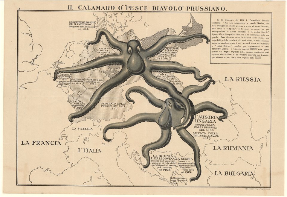
propaganda map
1529 maps
maps from the mechanical curator collection
australia (1873) by booth
voyage de découvertes aux terres australes
old maps of australia
19th-century maps of tasmania
australia (1873) by booth
19th-century maps of new south wales
australia (1873) by booth
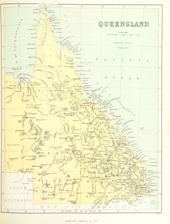
19th-century maps of queensland
australia (1873) by booth
maps by john cary
1801 maps
travel maps of the united kingdom
australia (1873) by booth
old maps of the history of oceania
maps by john cary
eran laor cartographic collection
tranquillo mollo
maps of rottnest island
daisy bates
1740s maps of the world
maps by emanuel bowen
géographie générale; physique, politique et économique (1876)
1870s maps of australia
1 - 100 of 155
Next page
/ 2


![Johnson's Western Hemisphere [and] Johnson's Eastern Hemisphere (1866) by Johnson and Ward.](https://cdn.creazilla.com/illustrations/1955988/johnson-s-western-hemisphere-and-johnson-s-eastern-hemisphere-1866-by-johnson-an-sm.jpeg)