Log in
All resources
Create a design
15 Free Artworks of Maps Of 18th Century Poland
bibliothèque nationale de france
18th-century maps of prussia
old maps of poland
english-language maps of europe
maps by john cary
john cary
old maps of the polish-lithuanian commonwealth
1790s maps of poland
1799 maps
old maps of lithuania under russian and german empires
18th-century portraits in the national museum in poznań
józef wall
old maps of the polish-lithuanian commonwealth
1790s maps of poland
historisk atlas (stockholm, norstedt & söner, 1880)
old maps of the polish-lithuanian commonwealth
maps by john cary
1799 maps
old maps of regions of poland
starachowice
18th-century maps of the baltic sea
1770s maps of sweden
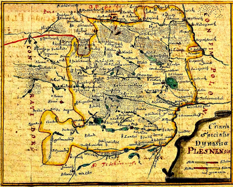
history of pszczyna
old maps of poland
18th-century maps of the black sea
maps by louis brion de la tour
old maps of the holy roman empire
maps made in the 18th century
maps by john cary
1801 maps
maps by john cary
1799 maps
maps by louis brion de la tour
french-language maps
david rumsey historical map collection
1790s maps of the holy roman empire
sanson maps of the circles of germany
bibliothèque nationale de france
le duché de poméranie compris sous le cercle de la haute-saxe divisé suivant qu'il est présentement partagé entre la couronne de suède et l'eslecteur de brandebourg, où sont les duchés de... - btv1b53202543b
sanson maps of the circles of germany
1 - 15 of 15
/ 1